Trail Overview
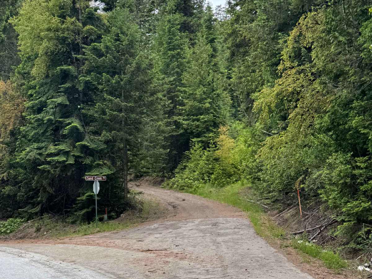
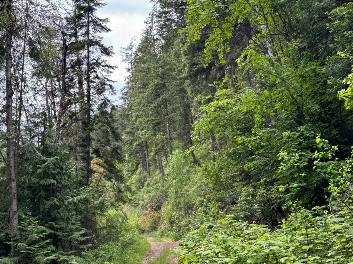
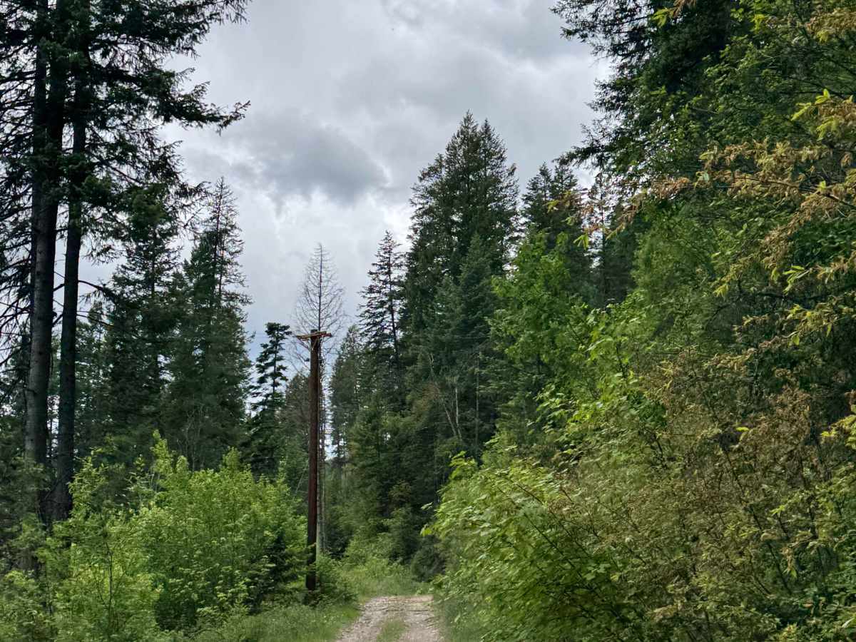
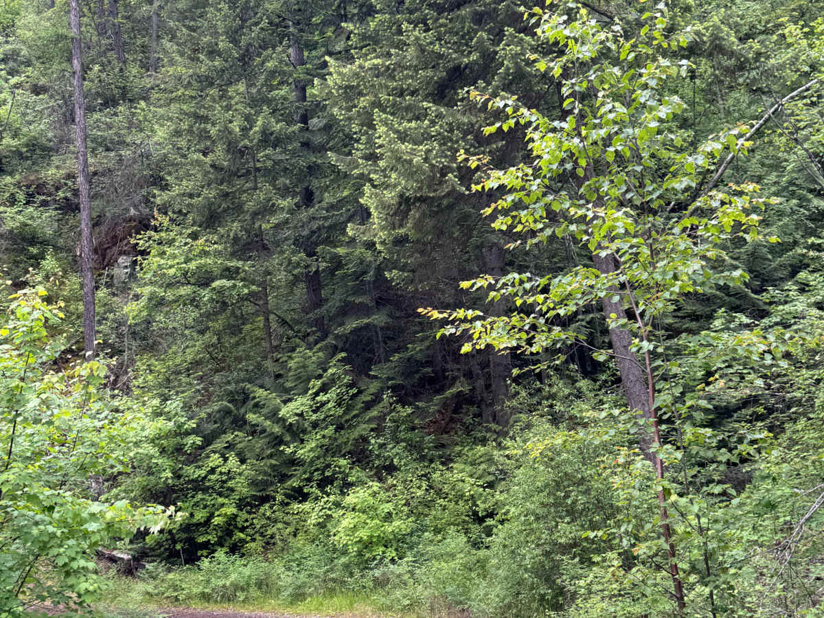
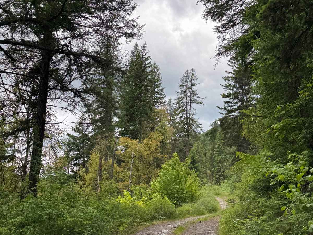
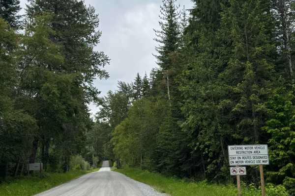
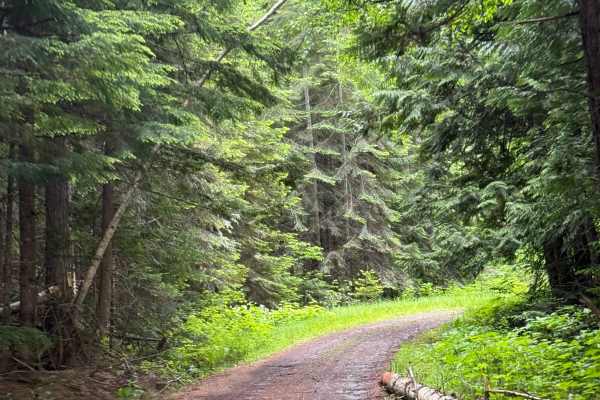
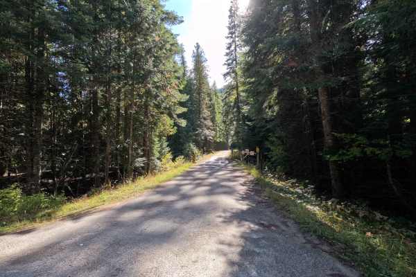
This forest road begins alongside Sullivan Lake, and there are a couple of private drives that split off. Past those driveways, the trail climbs steadily, gaining over 2,000 feet in elevation over 5 miles. The trail begins with a gravel base and is very bumpy with large rocks and a rock garden section as it climbs parallel to the lake. The trail eventually flattens out, and there are multiple mud holes/puddles and humps/whoops that will make you control your speed. Once the trail flattens and turns to dirt, there are ruts and washouts up to a foot deep. A high-clearance 4x4 is recommended for this trail. You will have beautiful views of Sullivan Lake and of the peaks around, especially Hall Mountain. This trail climbs up to where the old radio towers were on top of Sand Creek Mountain at an elevation of 4,652 feet. Cell phone service was weak along the trail, and there are no amenities, so travel prepared. You are approximately 15-20 minutes from the nearest services and supplies in either Ione or Metaline Falls.
Difficulty
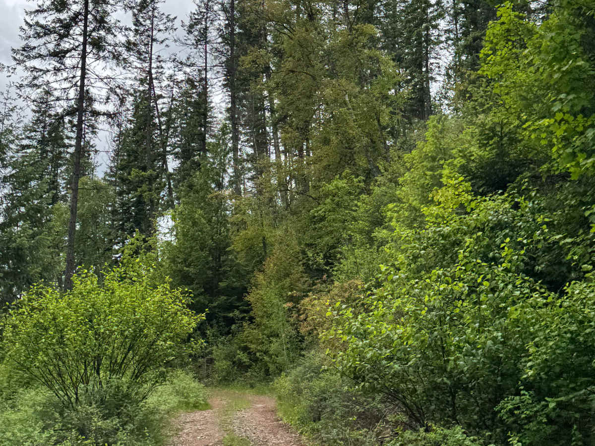
The road starts as gravel, then quickly turns to dirt with a rock garden for the entire climb of 2,000 feet. The trail levels out, and there are ruts and washouts up to a foot and several humps/whoops with mud puddles in the bottom. High Clearance 4x4 is recommended.

 Offroad