Trail Overview
Pasayten Drive is a lightly trafficked and technical dirt bike trail in the Foggy Dew Trail System that is often unmaintained and unmarked, making it an adventure in itself.
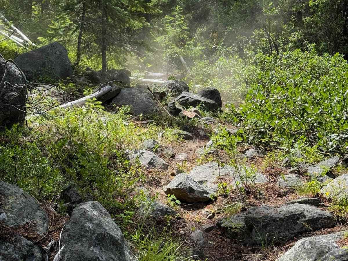
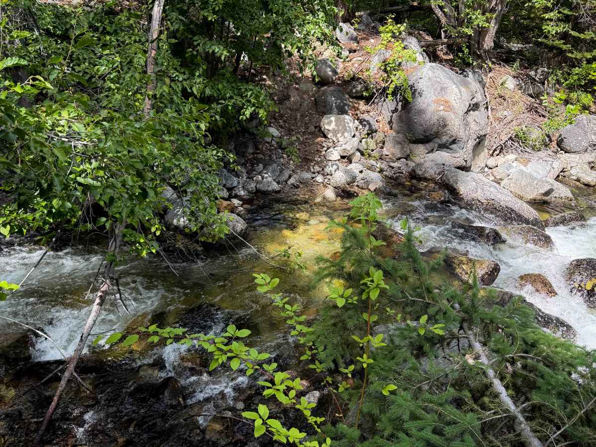
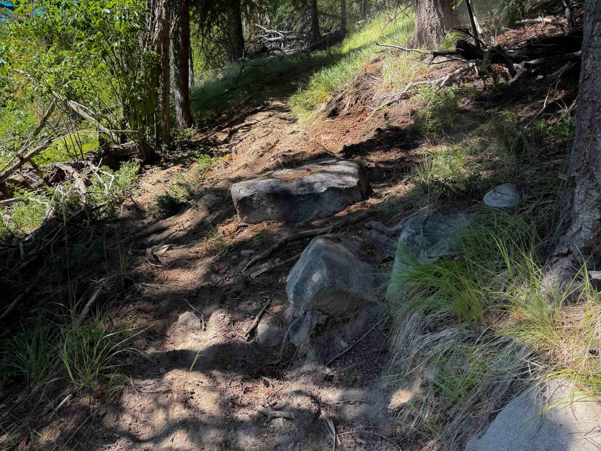
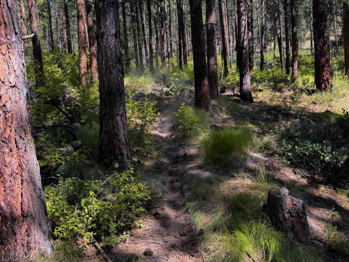
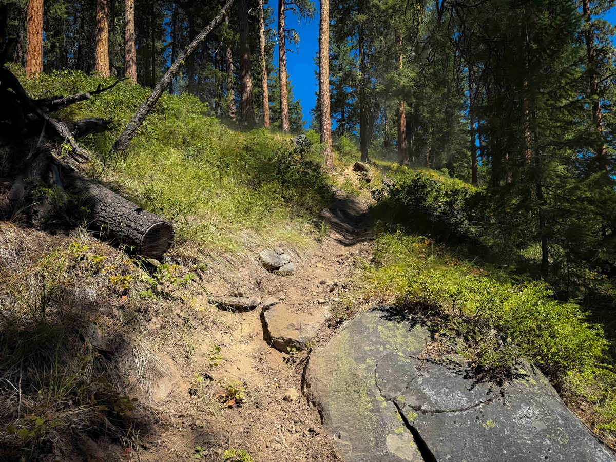
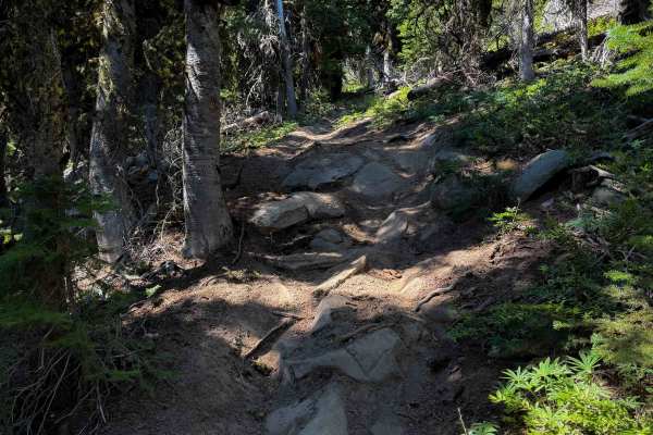
The north entrance to the trail system is accessed by taking an unmarked dirt road off of FS Road 4340-300 that eventually peters out into the single track. It sidehills down to a rocky water crossing over Crater Creek, and the trail is faint in the beginning, with the tracks looking like riders might get confused about where to go right away. The trail crosses the creek, which is brushy, with large boulders. As it goes south, the trail is narrow as it side-hills along the mountainside, rides over several large embedded rock layers, and comes up to a couple of tricky switchbacks that are steep and silty. These will likely trip up the inexperienced rider because they are so loose and steep. The trail continues through a narrow section with many overgrown branches sticking into the trail that block visibility. It keeps climbing steeply, with mild exposure, and passes the intersection with the Foggy Dew Ridge. The following steep descent down to Forest Road 200 is more ridden, as people use this portion of trail to make a loop from Foggy Dew Ridge. The descent has several tight switchbacks that are steep and silty, loose and rutted - one with a big ponderosa pine on the inside corner, making the turn feel tighter.
Take Forest Road 200 for 300 yards to connect to the southern segment of singletrack, which starts at an unmarked entrance and rides over a long wooden bridge. It climbs steeply up a series of about 20 switchbacks that are silty, tight, and rutted, with narrow side-hilling in between. Expect loose dirt and roots across the trail, making small ledges. It mellows out on the hilltop, riding through a burn area where there has been extensive log cutting. It winds over chunky rock layers, with tight turns snaking through the trees.
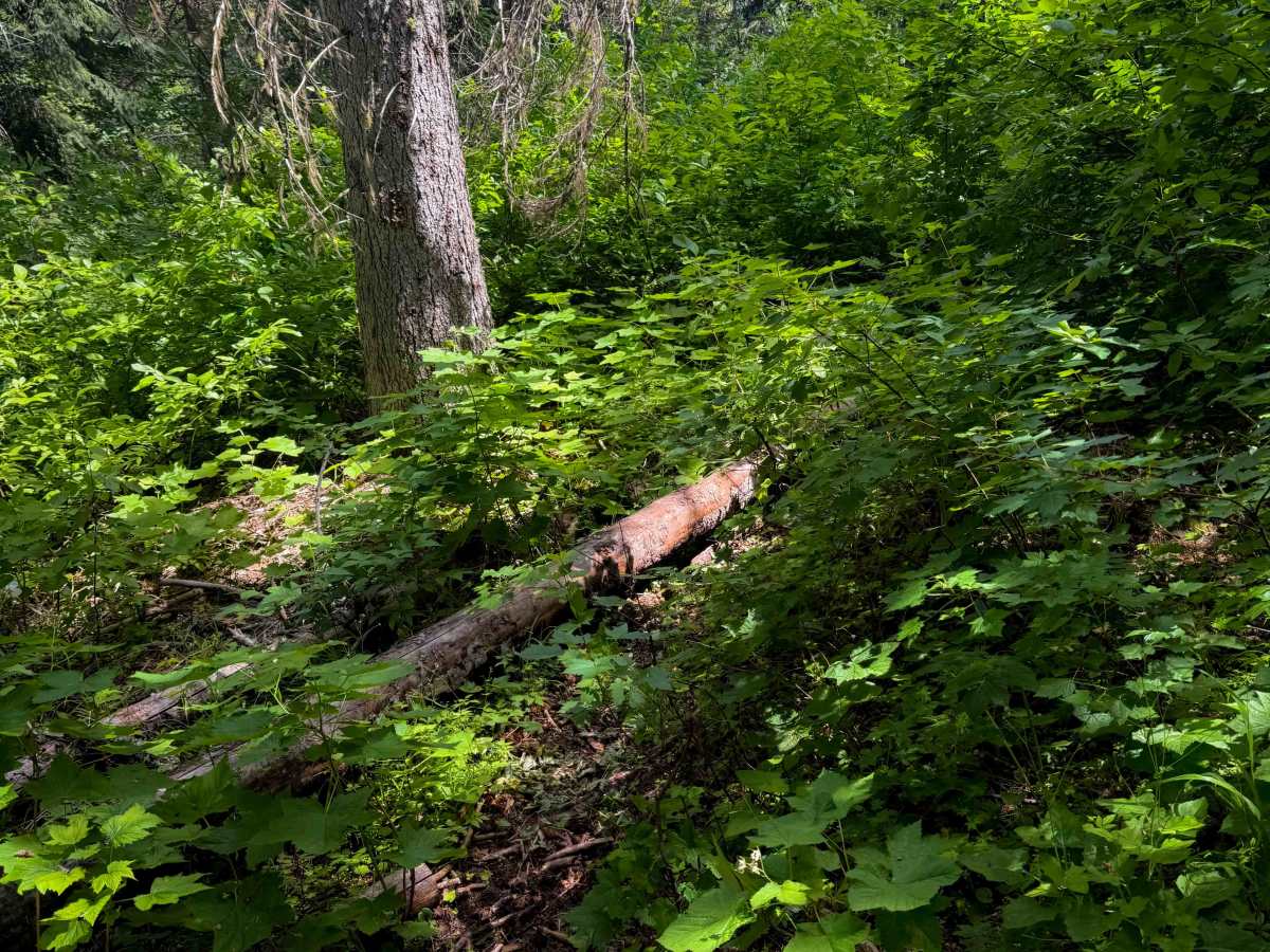
At about 7.5 miles, Pasayten Drive peels off from the main track, turning eastward into the trees at an unmarked intersection. The last five miles of trail on the south end appear less ridden and unmaintained. This section of trail is mostly a steep and loose descent through an old burn area, with overgrown bushes and limited visibility. Expect silty hills, steep side-hilling, and a couple of larger log hazards. There are enough tracks to follow the route, but the trail is very narrow in segments and will require some route-finding. Expect a few rock obstacles in this segment as well. It ends at an unmarked entrance on an old and unmaintained forest road that takes you down to South Fork Gold Creek Road. (If starting from the south, a map will be essential to find the unmarked and faint entrance). Overall, it’s a physically demanding route that will challenge the average rider physically and navigationally.
Difficulty
Pasayten Drive is an advanced trail due to frequent rock and root obstacles throughout the long route, with silty, loose, and steep switchbacks that will challenge the average rider. Expect narrow trail segments, exposure, overgrown vegetation, and steep terrain. There is a rocky creek crossing at the north entrance. The entire route is full of fun challenges.