Trail Overview
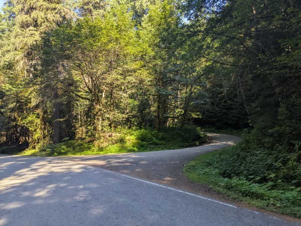
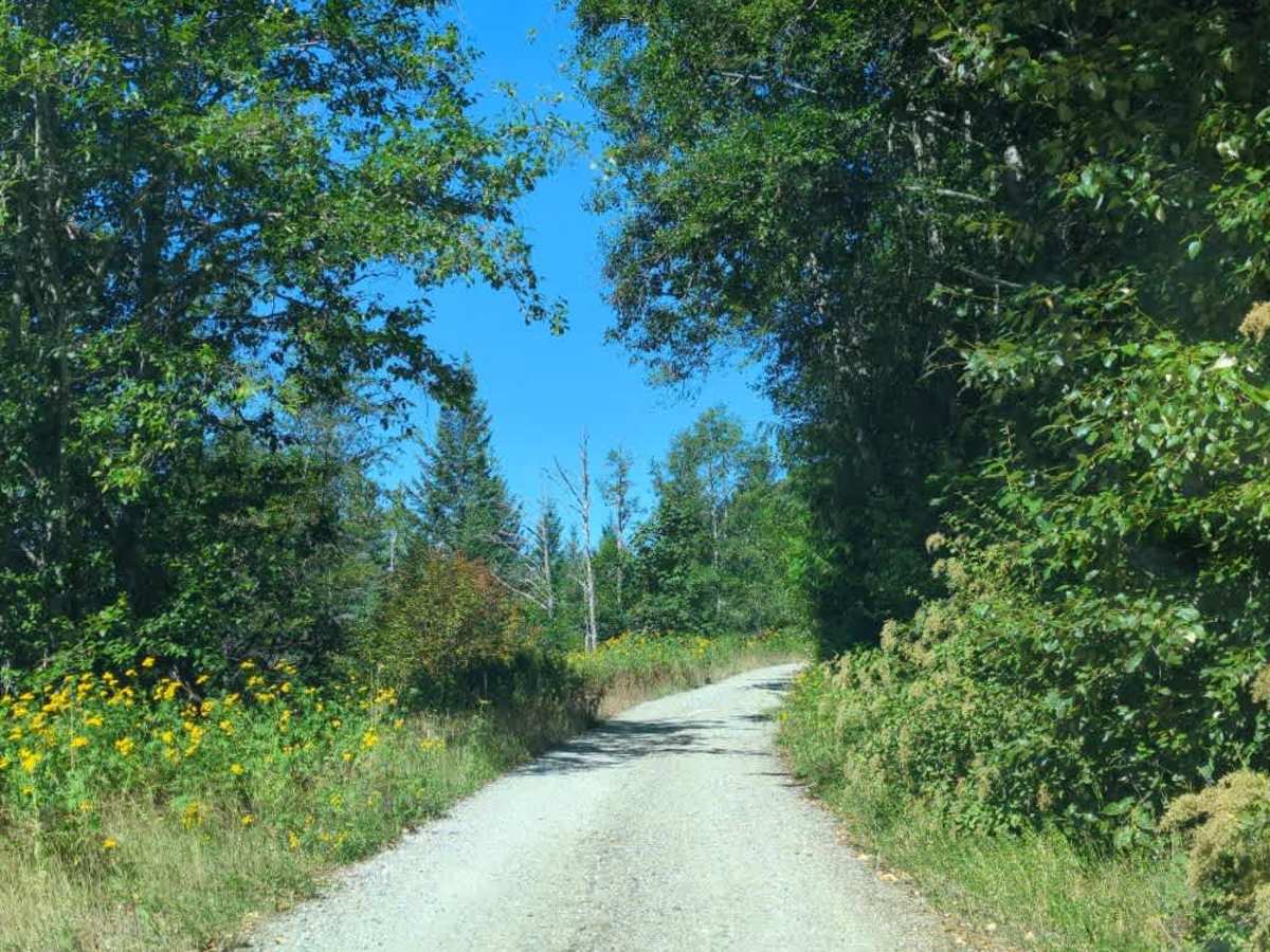
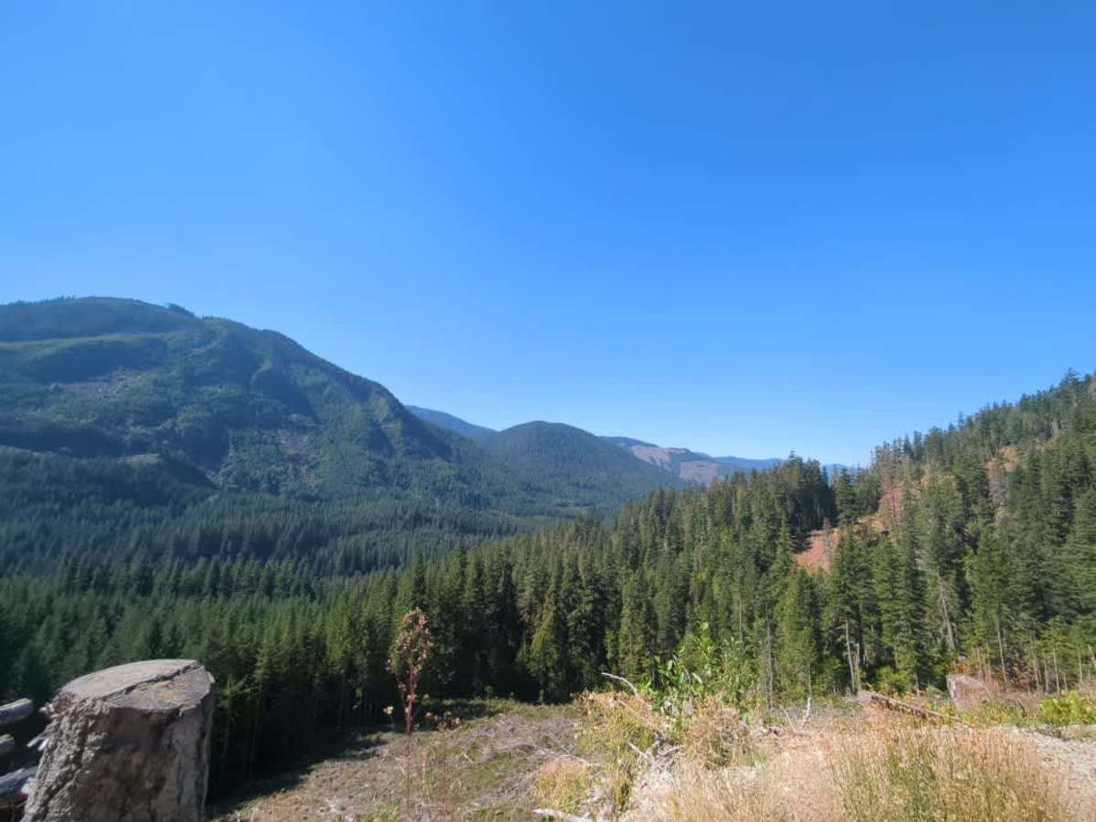
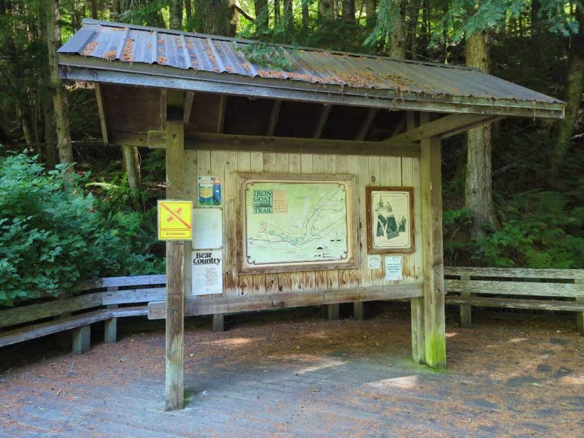
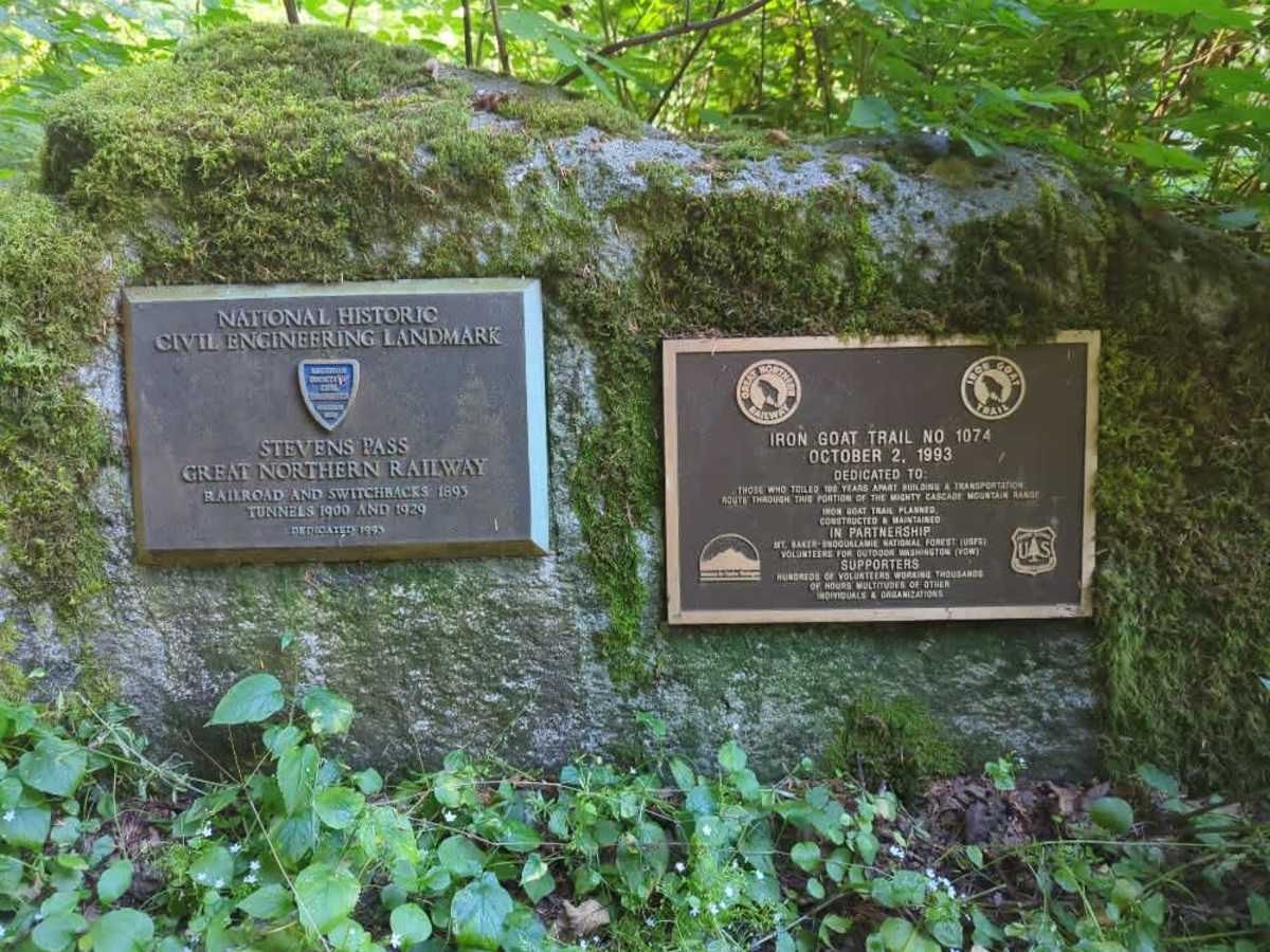
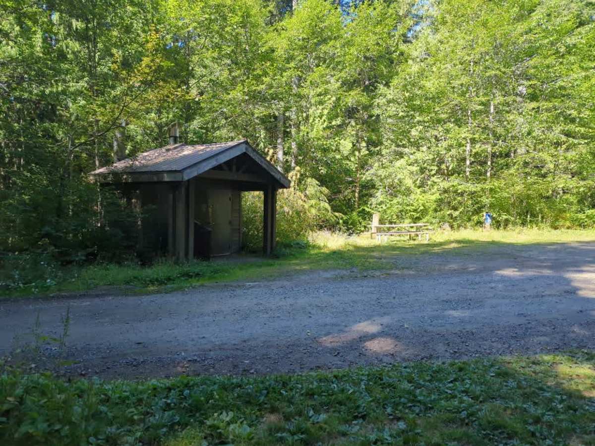
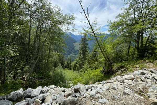
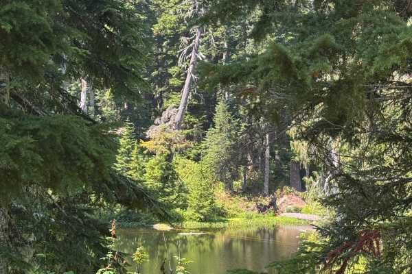
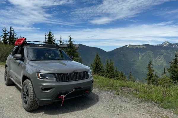
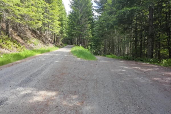
The trail starts off from the Old Cascade Highway in dense forest as a 1.5-2 lane gravel forest service road. At approximately 1 mile in, there is a small clear-cut on private land that offers some great views of the valley below. The Iron Goat/Martin Creek Trailhead at mile 1.4 features some historical signage, picnic tables, and a vault toilet. The road narrows after this to 1-1.5 lanes with passing areas. At mile 5.2, there is an open gate onto private land. The remainder of the trail is on private land. Please respect the land, and do not enter if the gate is closed. At approximately milepost 6 (just past the bridge), the road starts a moderate climb, and the condition deteriorates. There are steep rocky sections, some slumping and off-camber sections with a lean towards the sheer drop, ruts and holes under a foot deep, with a few washed-out ruts. As the trail reaches the top, it splits into several short trails, each with its own different views. There is very little in the way of camping available along this route. Intermittent cell service is available, particularly as you start to climb. The military uses this valley as a training route for fighter pilots, so if you are lucky, you may see some low passes from fighter jets. The entire area stays wet even in the dry months, so come prepared to deal with bugs. This road also snows in during the winter and is likely to have snow well into June, and possibly even early July at the top. Note: If you are just using this road to access the trailheads, the first 5 miles are easily suitable for most vehicles.
History
The approach to this trail is along the Old Cascade Highway, which used to be the primary route over Stevens Pass. The Iron Goat trail traverses the old Great Northern railroad grade through the area, and can be hiked all the way to the Wellington ghost town and the old Cascade Tunnel.