Trail Overview
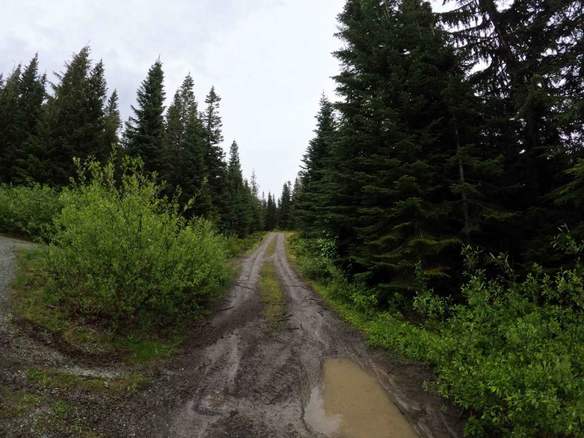
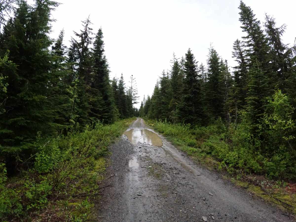
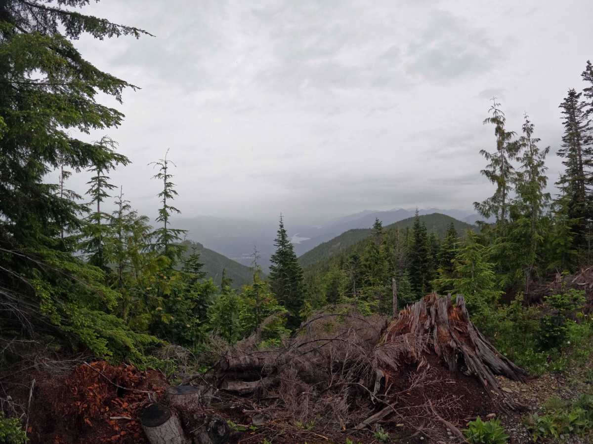
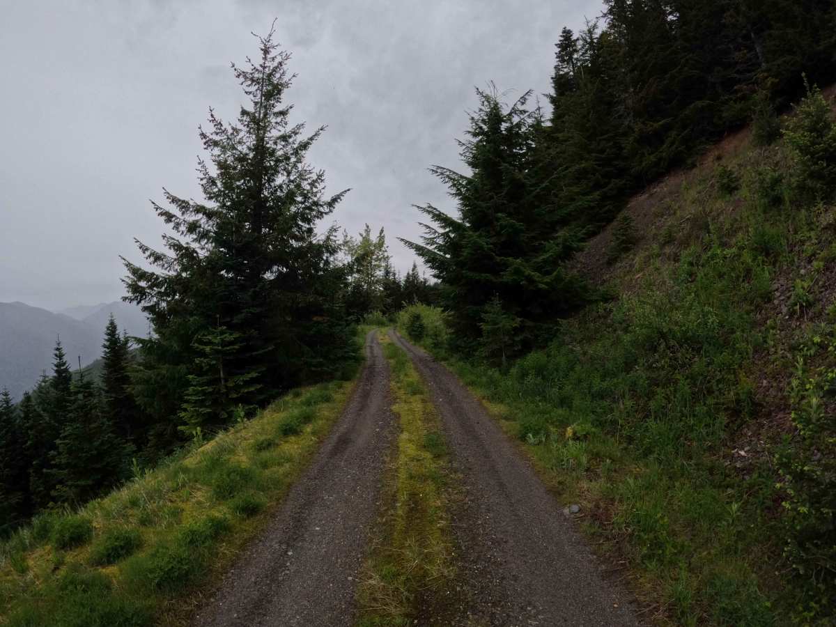
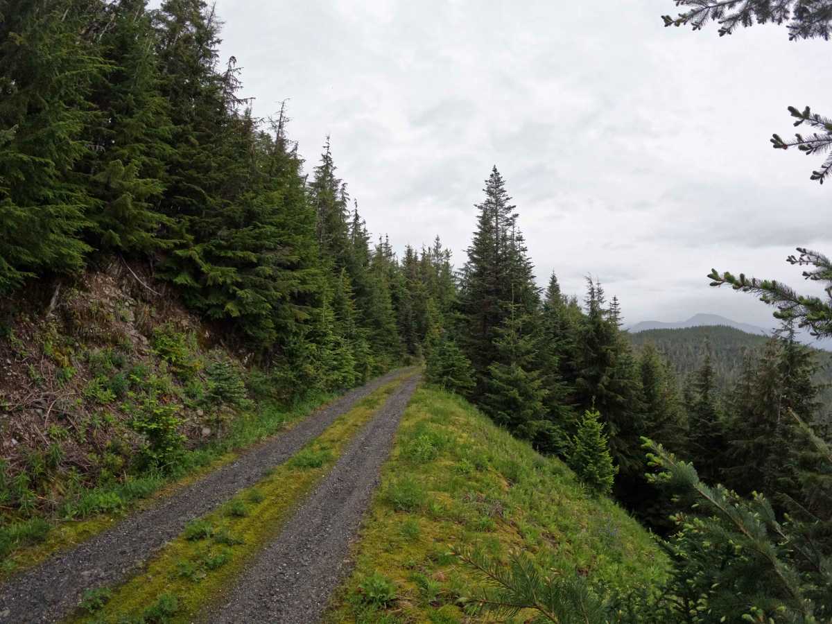
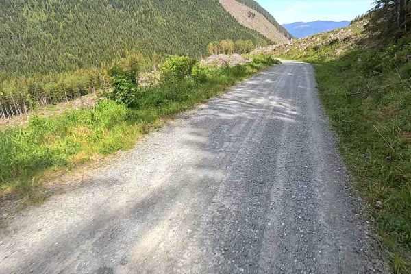
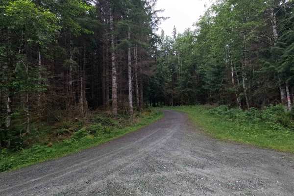
Leonard's Ridge is a 1.4-mile out-and-back route that follows a flat, single-lane gravel road along a high ridgeline. The road offers frequent views of the surrounding foothills and provides access to several dispersed campsites and viewpoints along the way. The road surface is generally in good condition, with only sparse potholes and mild rutting. Past the intersection at approximately mile 0.7, brush encroachment becomes significantly heavier and begins to narrow the trail corridor. The route ends at a washout, beyond which the road becomes heavily overgrown. While the washout may be passable on foot, vehicle travel is effectively stopped by the combination of erosion and vegetation. Leonard's Ridge is open year-round to highway legal vehicles.
Difficulty
Leonard's Ridge is generally an easier route, with the primary challenges being brush encroachment and some intimidating shelf road portions. Most vehicles with reasonable ground clearance should have little difficulty navigating the route, as the road surface remains in relatively good condition throughout. Drivers of wider vehicles should expect pinstriping beyond the 0.7-mile mark where vegetation begins to close in. The route is well-suited for users looking for scenic viewpoints and dispersed campsites without significant technical obstacles. As with most trails in the area, bringing a chainsaw or equipment to clear fallen trees is recommended.