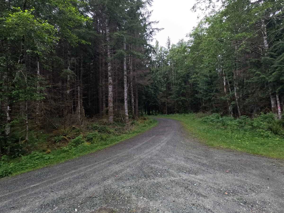
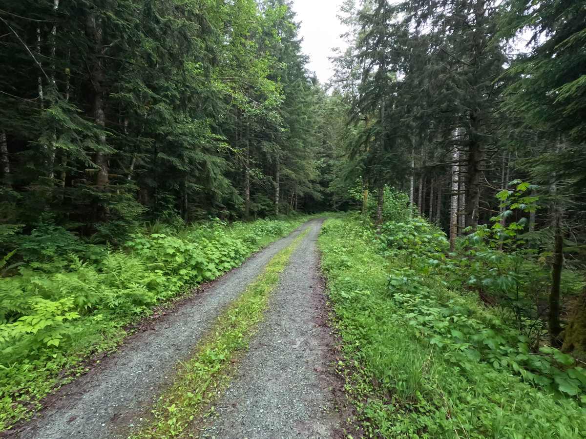
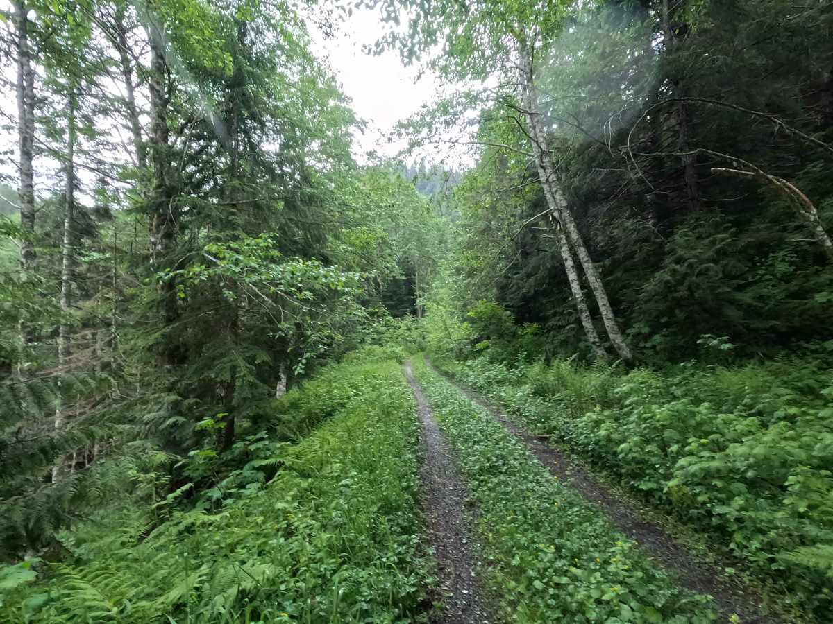
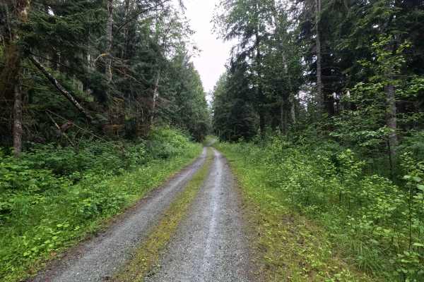
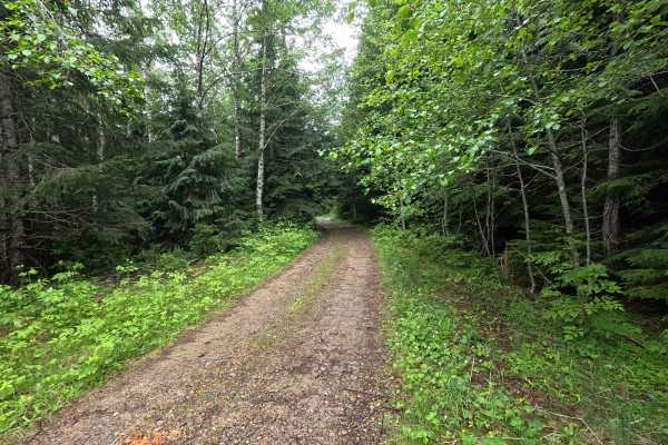
Trail Overview
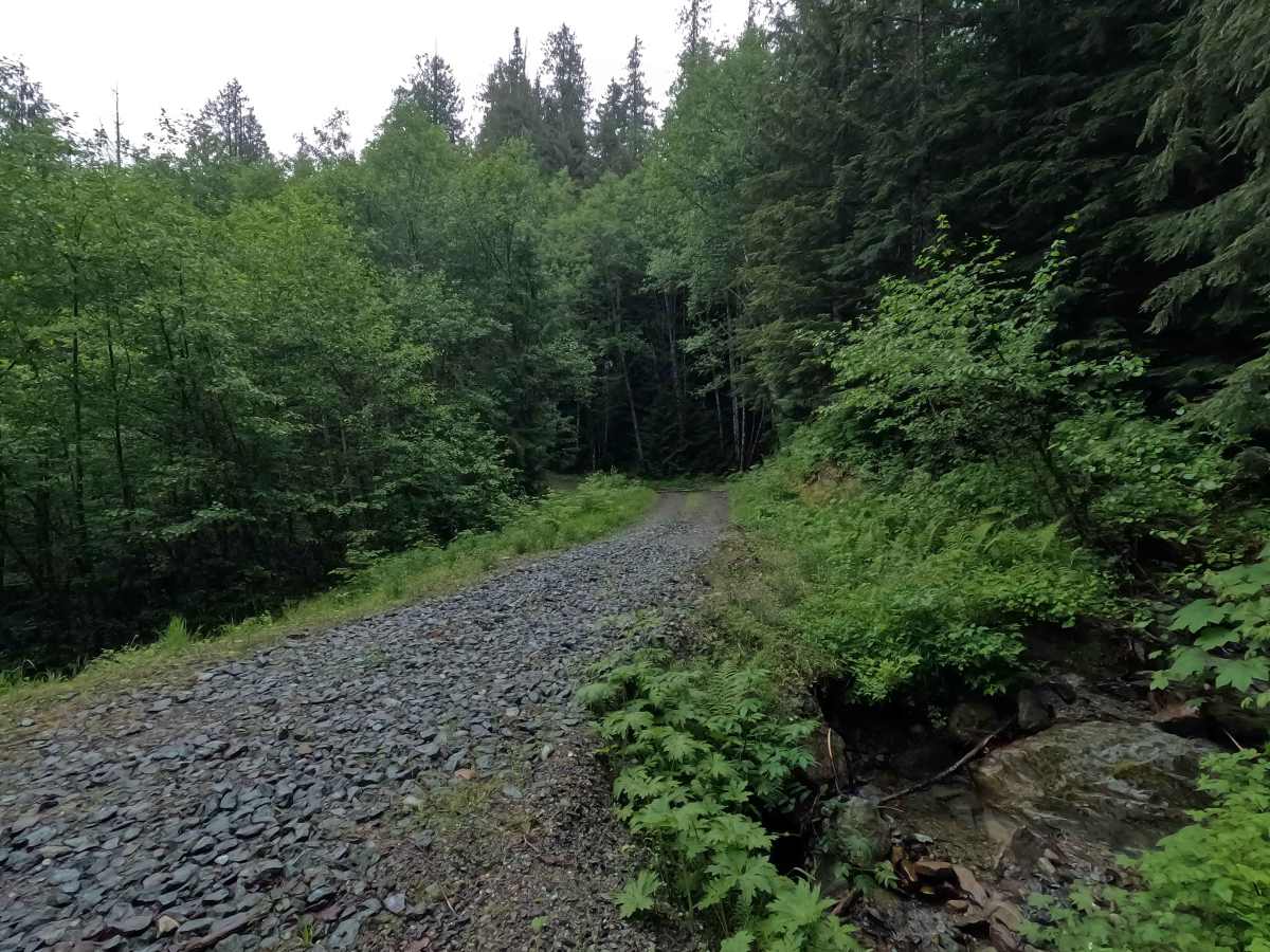
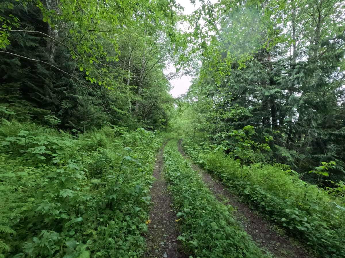
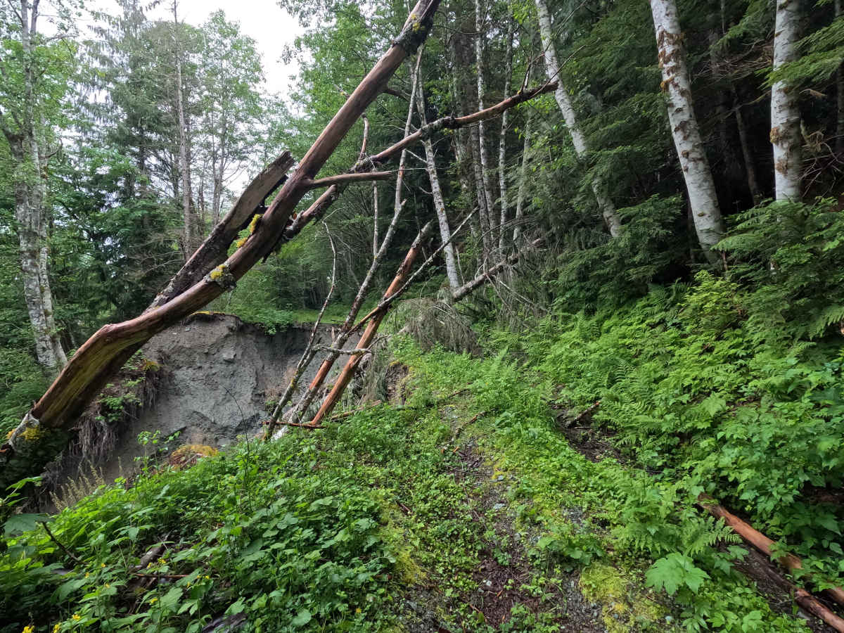
Finney Peak is a 2.7-mile single-lane, out-and-back gravel road that climbs through dense forest toward Finney Peak. The route offers occasional glimpses of surrounding peaks through breaks in the trees, though most of the drive remains within the forest canopy. Brush begins to close in around mile 2.1, narrowing the trail corridor and increasing the likelihood of pinstriping. The road ends at a washout near mile 2.8, preventing further vehicle travel, though it may be passable for motorcycles once cleared of trees. Finney Peak is open year-round, and is restricted to highway-legal vehicles only.
Difficulty
Finney Peak is generally an easier route until the upper portions, where brush encroachment and deteriorating road conditions become more noticeable. The primary challenge is the narrowing trail corridor beyond mile 2.1, which may result in pinstriping for wider vehicles. The washout at mile 2.8 is impassable to vehicles wider than a motorcycle, and marks the end of the route. Weather conditions can increase difficulty, particularly where the gravel surface becomes slick. As with most trails in the area, bringing a chainsaw or equipment to clear fallen trees is recommended.