Kings Mountain - FS 5032350

Total Miles1.8
Technical Rating
2Easy
Best TimeSpring, Summer, Fall
Trail TypeFull-Width Road
Accessible By
Open Trail Map

Trail Overview

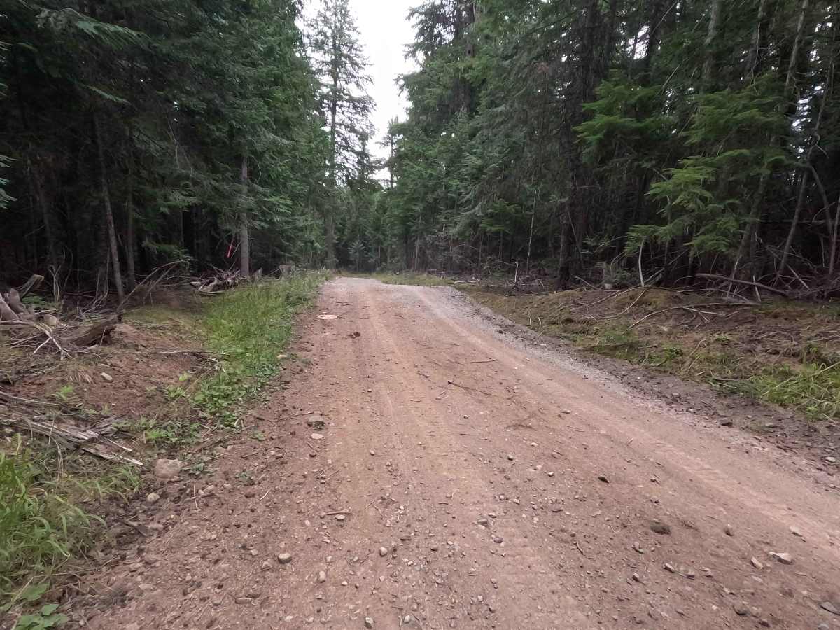
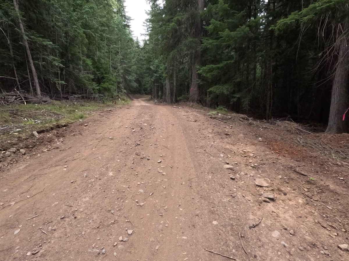
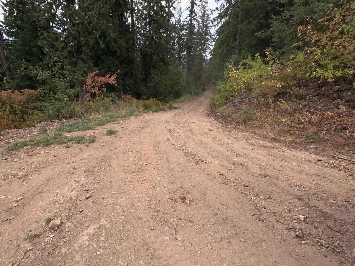
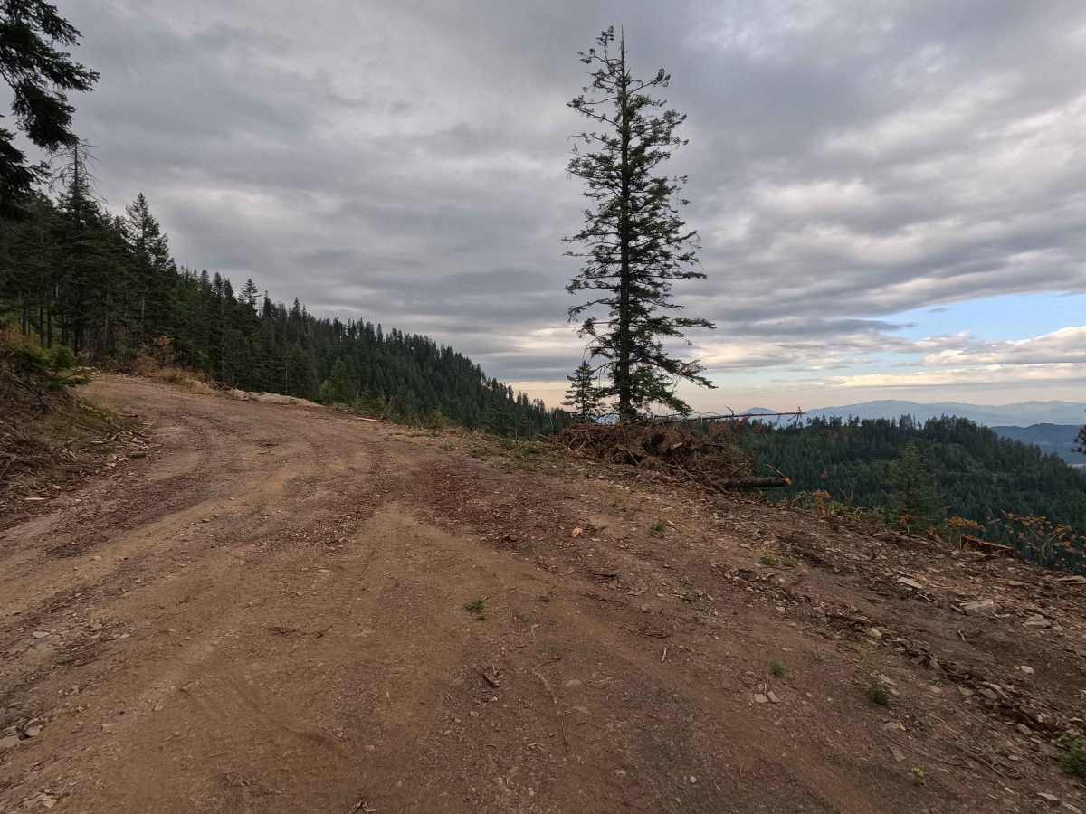
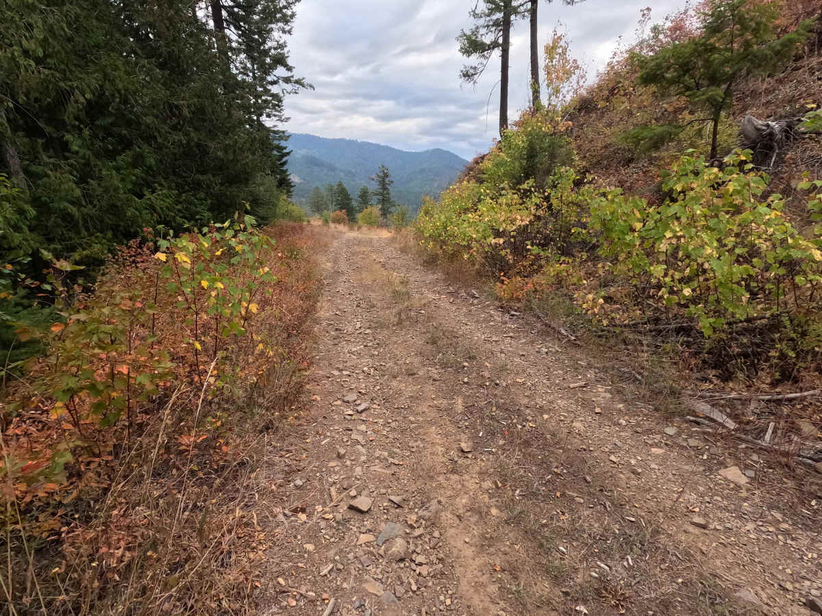
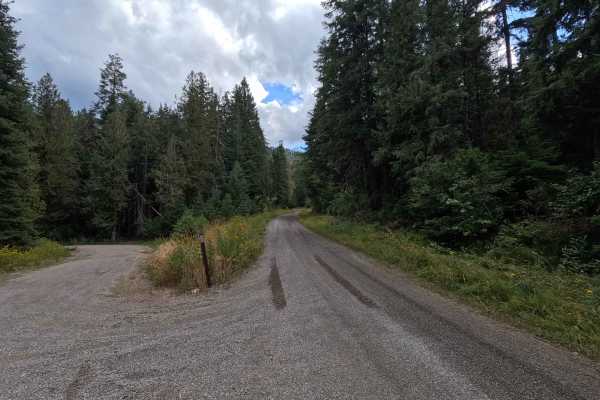
Kings Mountain - FS 5032350 is a 1.9-mile out-and-back route through Colville National Forest. This single-lane dirt road climbs toward Kings Mountain, with several shelf-road sections and plenty of views along the way. The first mile was freshly graded as of September 2026 and is relatively smooth, with several easily passable water bars. After the first mile, the road becomes narrower and rougher, with some rutting and steeper sections as it continues up the mountain. Kings Mountain is open year-round to highway-legal vehicles.

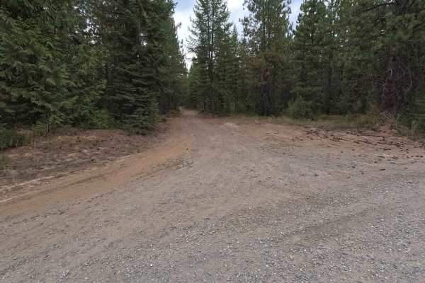
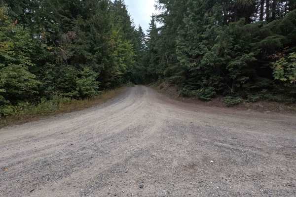
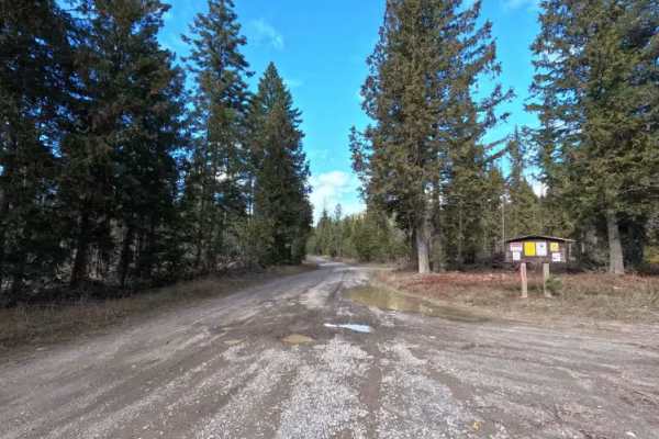
Photos of Kings Mountain - FS 5032350

Difficulty

Kings Mountain - FS 5032350 is rated easy. The first mile is relatively smooth and straightforward, but the upper portion becomes narrower, rougher, and more rutted. Some steeper sections and shelf-road portions require more careful driving, though the water bars are generally easy to cross.

History

Kings Mountain was once home to a fire lookout tower used to watch the surrounding forests for wildfires. The lookout appears on maps dating back to at least 1942, when the area was part of the Kaniksu National Forest. The tower has since been removed, but Kings Mountain remains a historic fire lookout site within what is now Colville National Forest.

Technical Rating

2

Kings Mountain - FS 5032350 Trail can be accessed by the following ride types:

  • High Clearance
  • Full Width

Kings Mountain - FS 5032350 Map

The onX Offroad Difference

onX Offroad combines trail photos, descriptions, difficulty ratings, width restrictions, seasonality, and more in a user-friendly interface. Available on all devices, with offline access and full compatibility with CarPlay and Android Auto. Discover what you're missing today!

Open Trail Map