Trail Overview
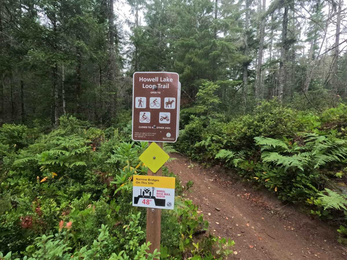
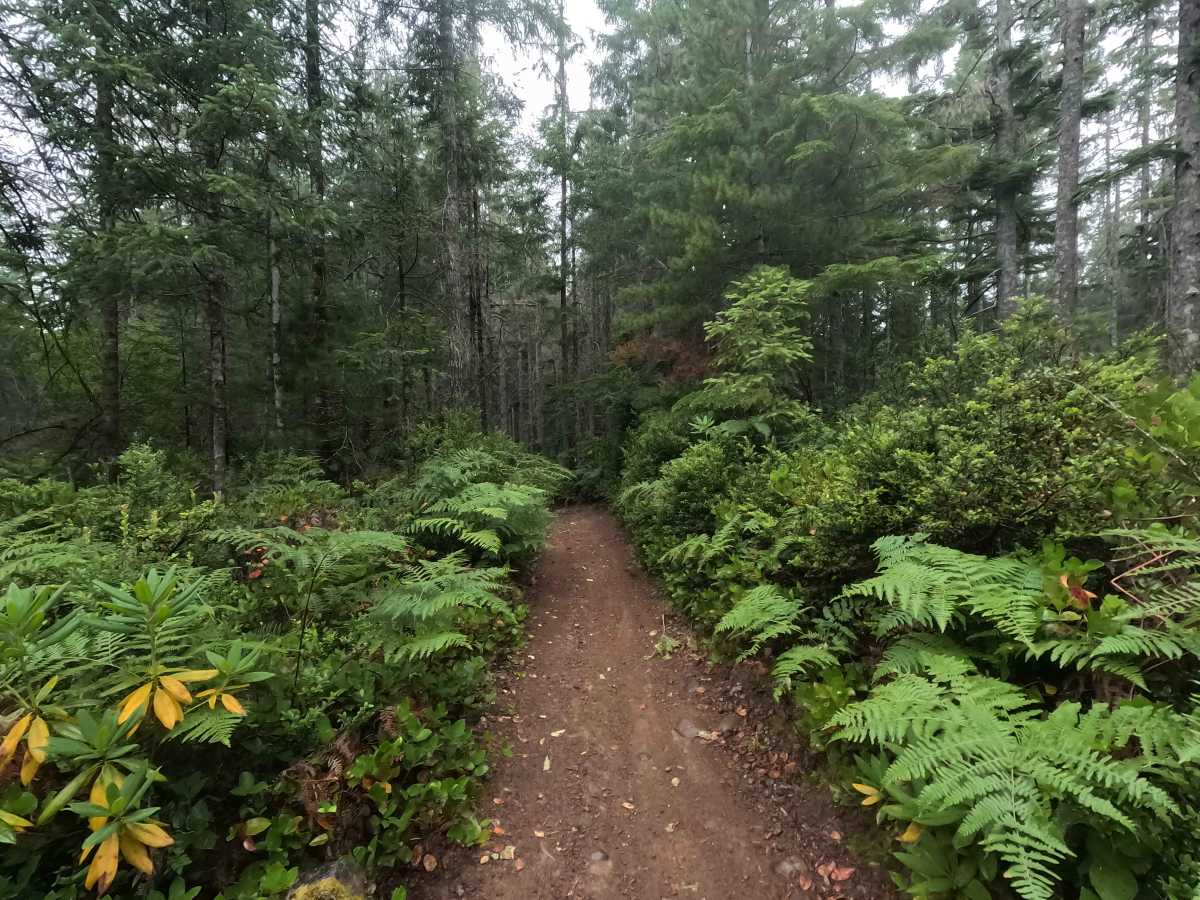
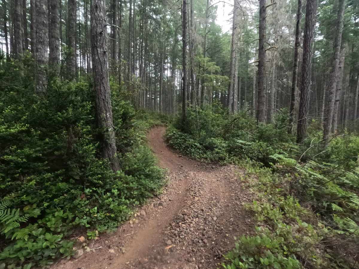
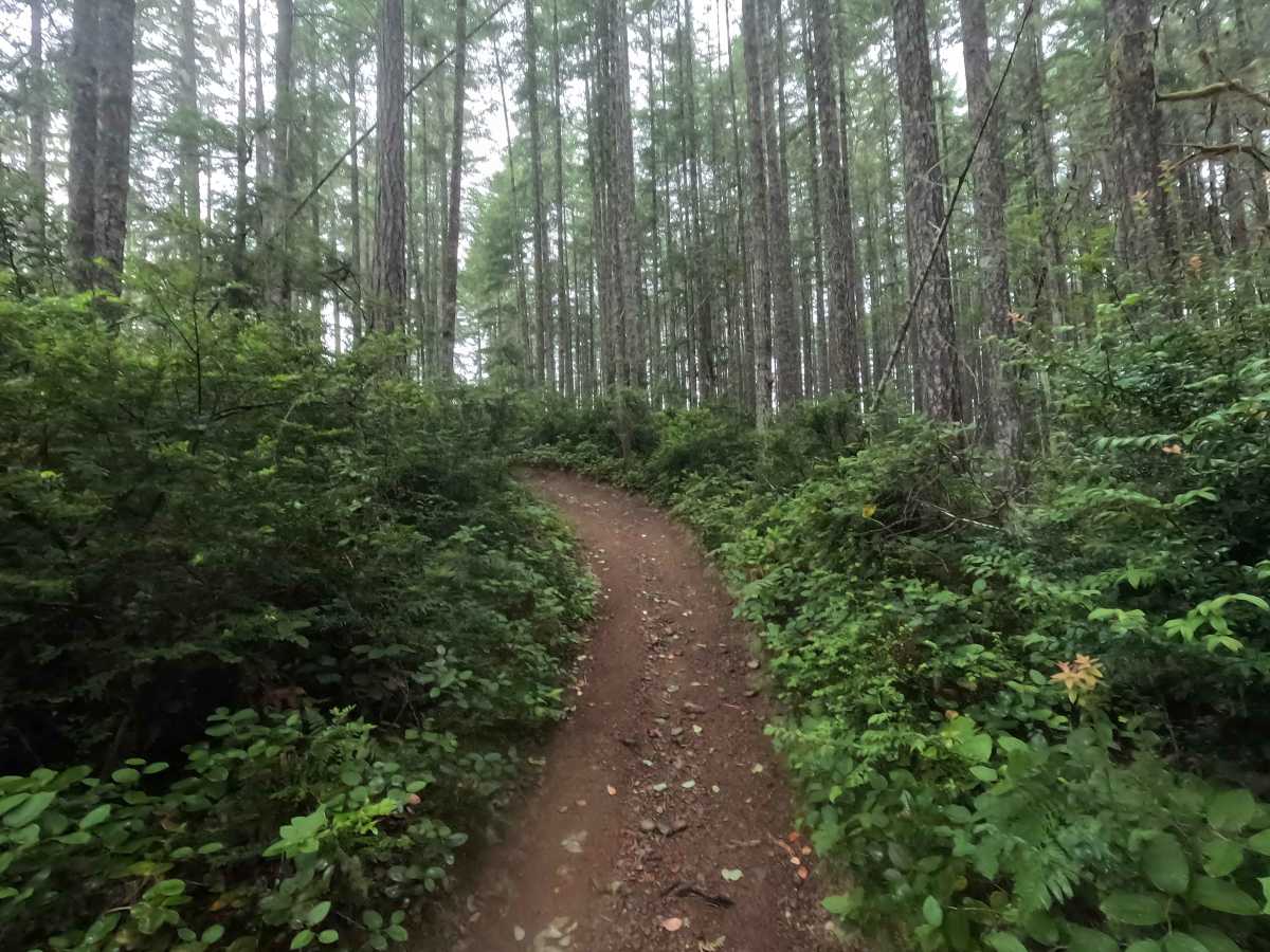
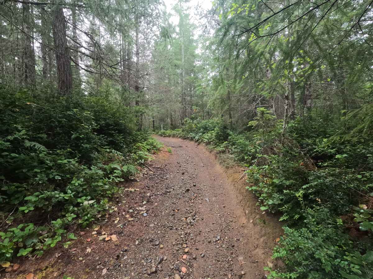
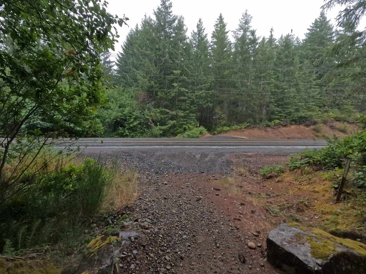
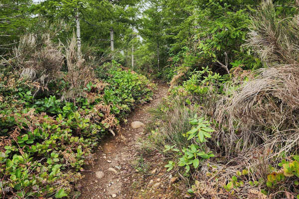
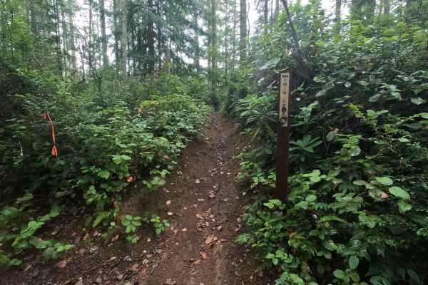
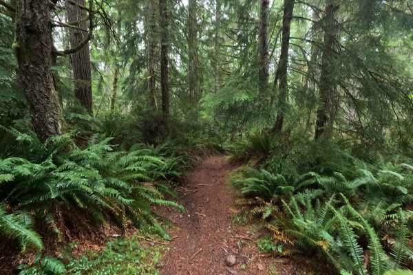
Howell Lake Loop is a 3.8-mile multi-use trail open to vehicles 48 inches wide and under. The trail winds through the Tahuya State Forest with flowing corners, moderately sized berms, loose rock, whoops, and occasional rutted sections. The eastern portion of the original loop is currently closed due to a washed-out bridge with no posted reopening date. Street-legal vehicles can still complete the loop by using Northeast Belfair Tahuya Road between the trail segments. The route crosses several forest roads and is shared with hikers, mountain bikers, and equestrians, so riders should exercise caution, particularly around blind corners. Due to numerous gated roads, blocked exits, and map inaccuracies throughout the Tahuya trail system, visitors should carefully plan their route and begin with a full tank of fuel.
Difficulty
Howell Lake Loop is an easy-to-moderate trail for ATVs and other vehicles 48 inches wide and under. The trail is generally smooth and flowing, with moderately sized berms, loose rock, whoops, and occasional rutted sections adding variety without creating major technical obstacles. Wet conditions can increase the difficulty, particularly in the rutted areas. Riders should maintain moderate speeds due to frequent blind corners and the possibility of encountering hikers, mountain bikers, equestrians, and other trail users.