Gibraltar Rock - FS 1920090

Total Miles0.9
Technical Rating
3Easy
Best TimeSpring, Summer, Fall
Trail TypeFull-Width Road
Accessible By

Open Trail Map

Trail Overview

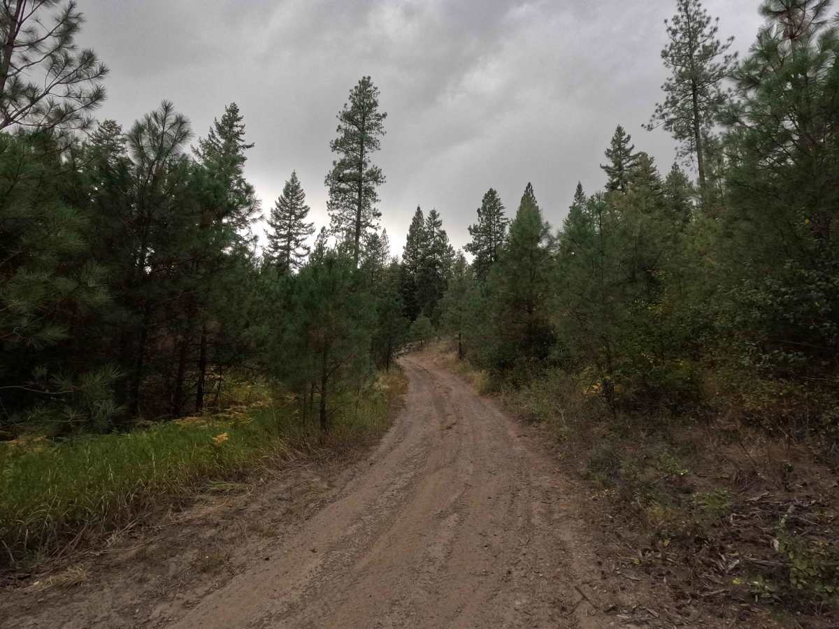
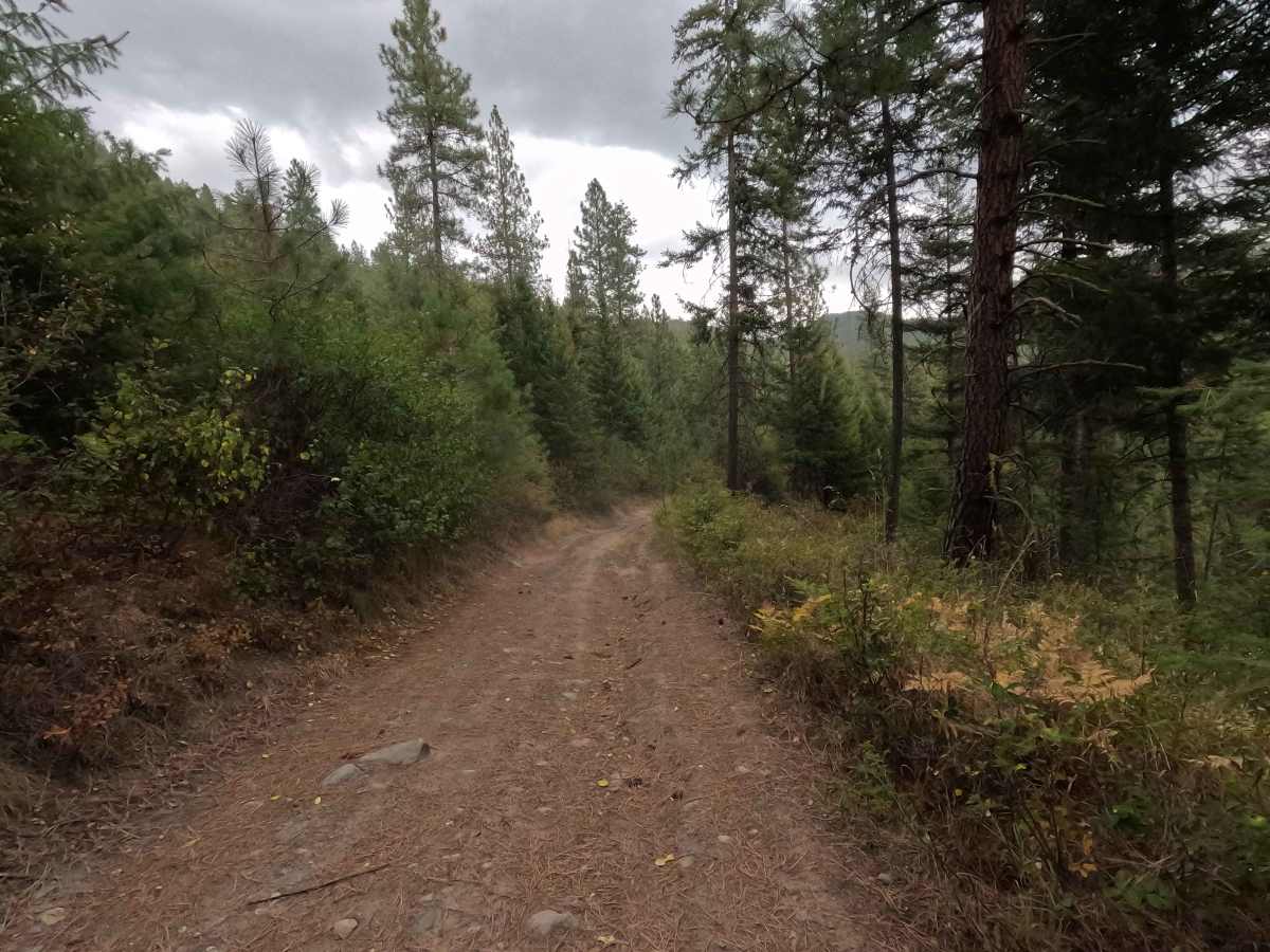
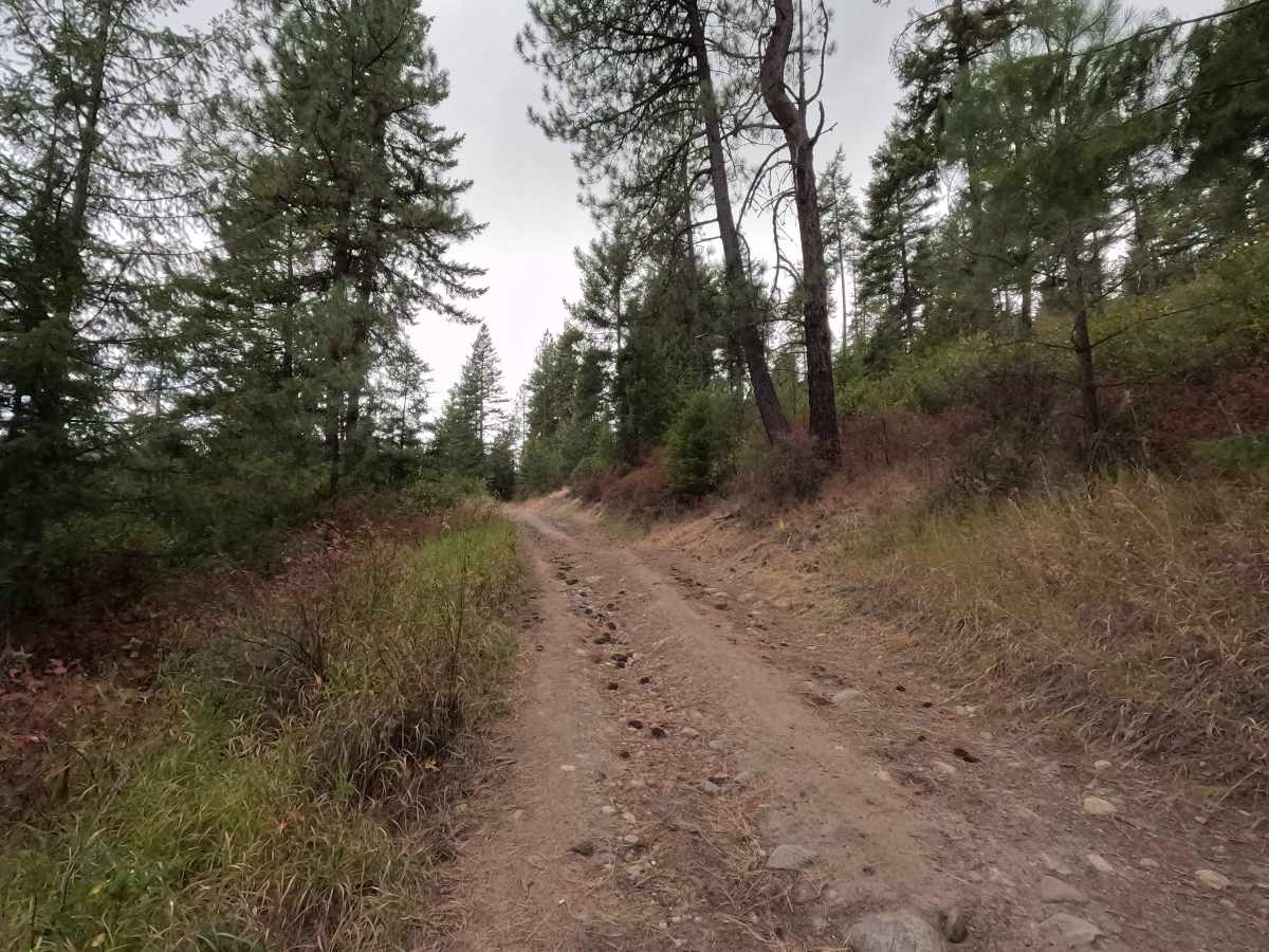
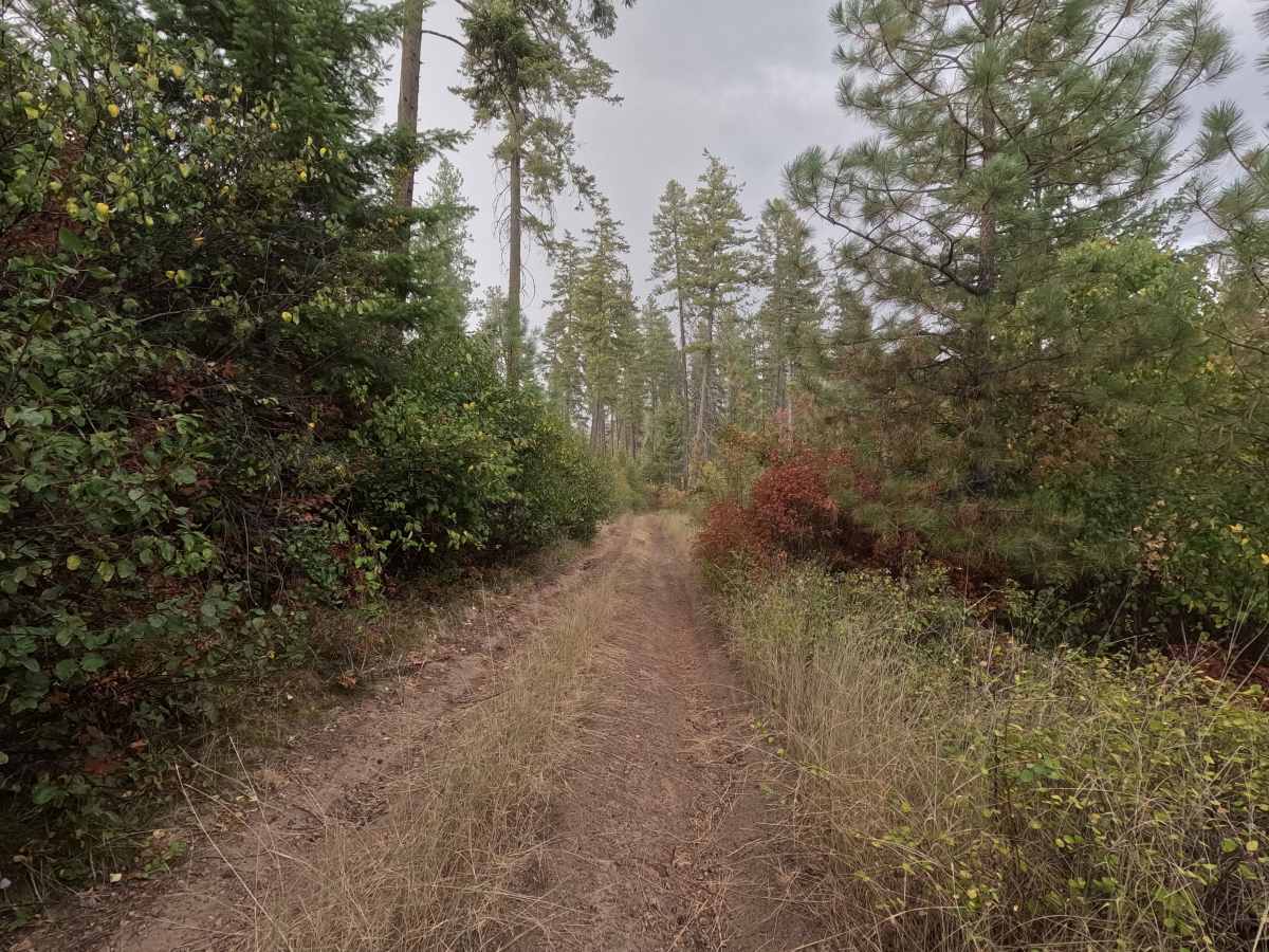
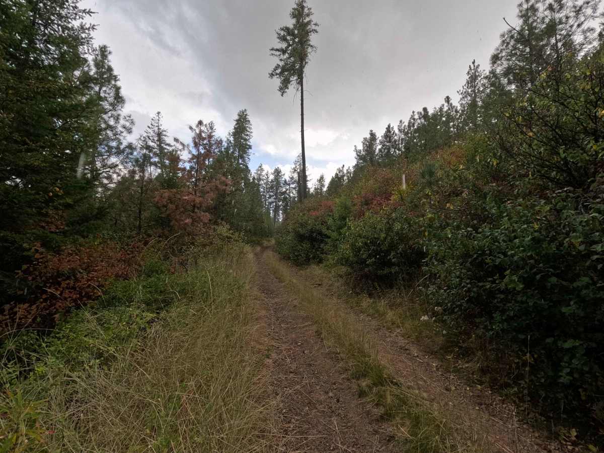
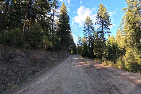
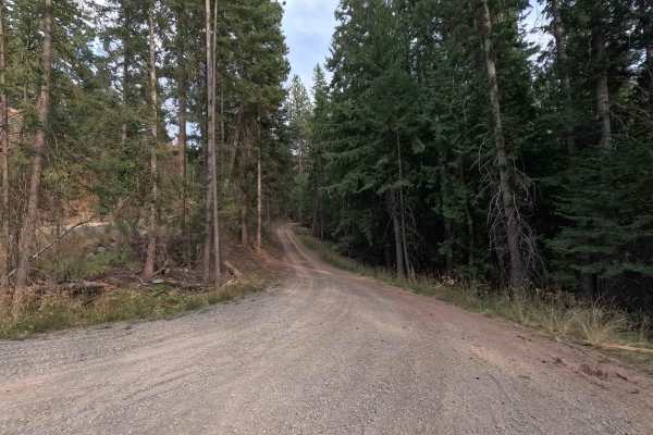
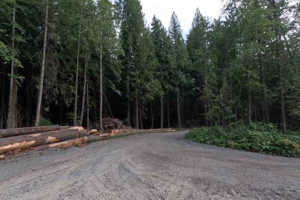
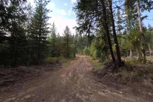
Gibraltar Rock - FS 1920090 is a 0.9-mile out-and-back route open to street-legal vehicles. This single-lane dirt road climbs toward Gibraltar Rock, with occasional views of the Pend Oreille River along the way. Moderate rutting and off-camber sections add some challenge, while brush encroachment makes the roadway very narrow in places. The route ends at a turnaround and dispersed campsite, where a short hike leads to Gibraltar Rock and its viewpoint.

Photos of Gibraltar Rock - FS 1920090

Difficulty

Gibraltar Rock - FS 1920090 is rated as easy. Moderate rutting, off-camber terrain, and narrow, brushy sections require careful vehicle placement. High-clearance vehicles are recommended, particularly when conditions are wet.

Technical Rating

3

Gibraltar Rock - FS 1920090 Trail can be accessed by the following ride types:

  • High Clearance
  • Full Width

Gibraltar Rock - FS 1920090 Map

The onX Offroad Difference

onX Offroad combines trail photos, descriptions, difficulty ratings, width restrictions, seasonality, and more in a user-friendly interface. Available on all devices, with offline access and full compatibility with CarPlay and Android Auto. Discover what you're missing today!

Open Trail Map