FS 1700462

Total Miles2.4
Technical Rating
2Easy
Best TimeSpring, Summer, Fall
Trail TypeFull-Width Road
Accessible By
Open Trail Map

Trail Overview

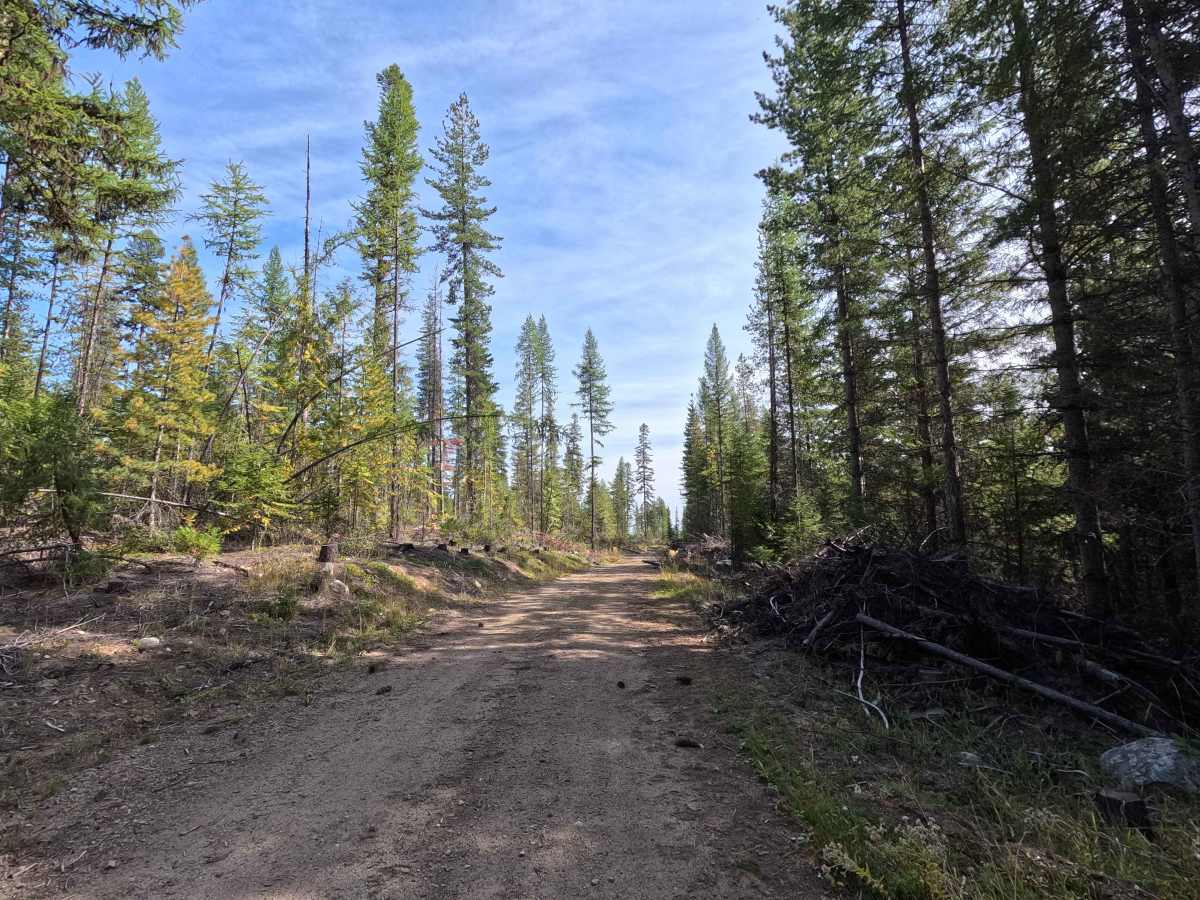
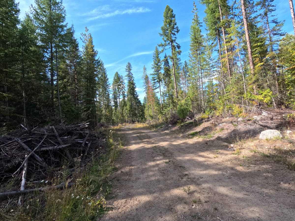
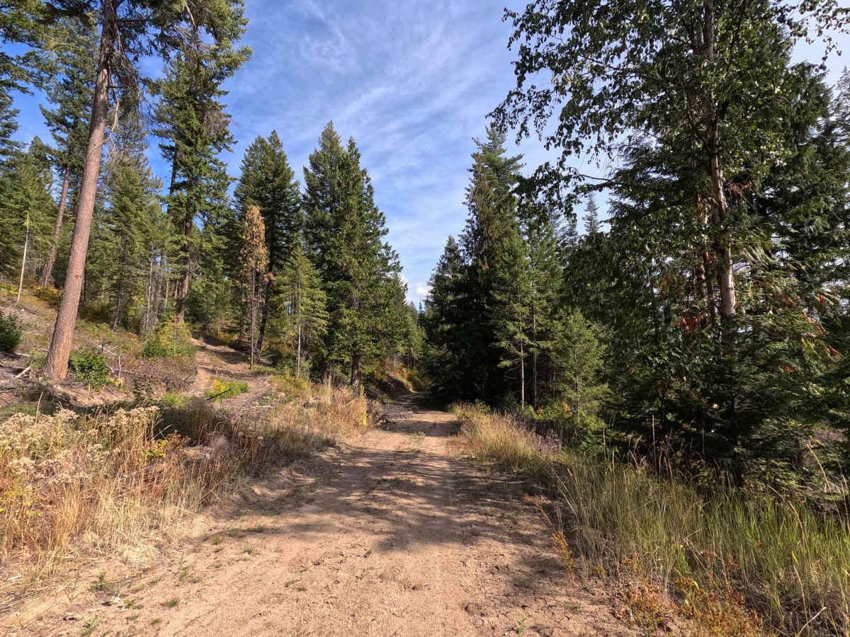
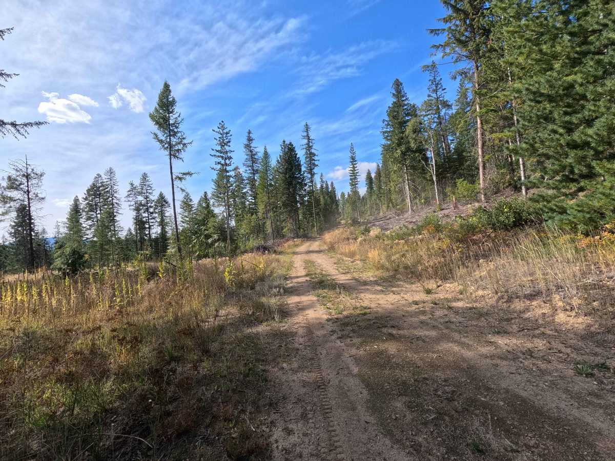
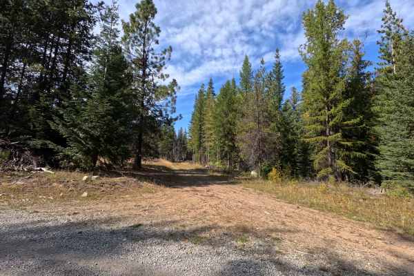
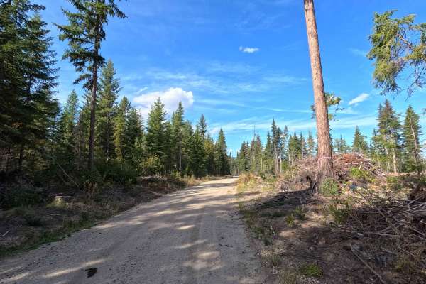
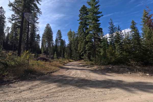
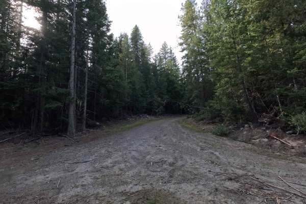
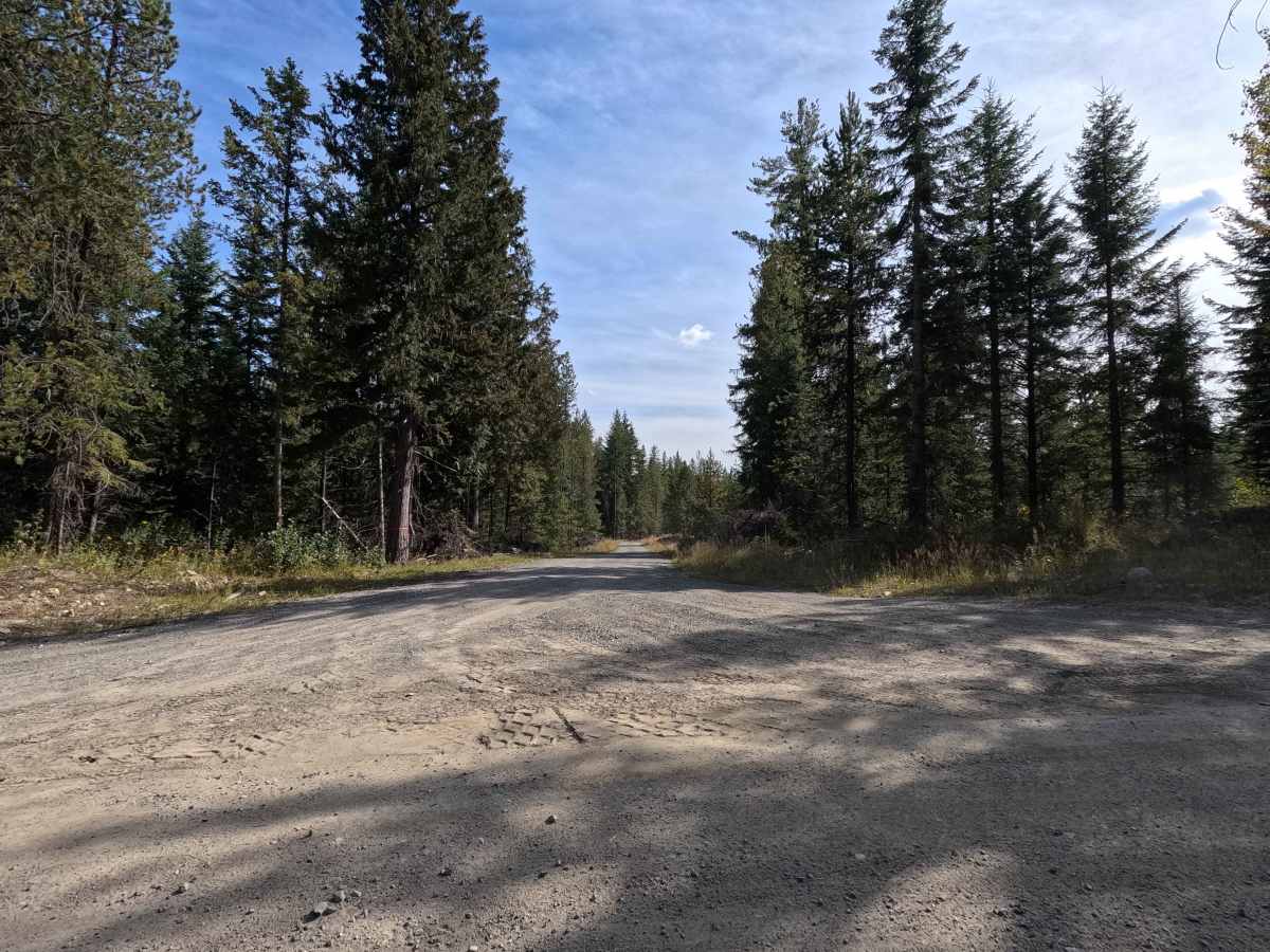
FS 1700462 is a 2.4-mile point-to-point route through Colville National Forest. The route begins as a single-lane gravel road before passing a rock pit, where the surface transitions to dirt and becomes noticeably rougher. Mild rutting and sticks, rocks, and other debris are scattered across the roadway farther along. Several openings provide views of the surrounding mountains and forest along the way. FS 1700462 is open to all vehicles and subject to a partial seasonal closure from mile 0.9 until the end.

Photos of FS 1700462

Difficulty

FS 1700462 is rated easy. The gravel portion is straightforward, while mild rutting and surface debris make the dirt section a little rougher. There are no significant technical obstacles, though wet conditions may make the dirt surface slick or muddy.

Technical Rating

2

FS 1700462 Trail can be accessed by the following ride types:

  • Single Track
  • 50 Inch
  • 60 Inch
  • High Clearance
  • Full Width

FS 1700462 Map

The onX Offroad Difference

onX Offroad combines trail photos, descriptions, difficulty ratings, width restrictions, seasonality, and more in a user-friendly interface. Available on all devices, with offline access and full compatibility with CarPlay and Android Auto. Discover what you're missing today!

Open Trail Map