FS 1700440

Total Miles1.4
Technical Rating
1Easy
Best TimeSpring, Summer, Fall
Trail TypeFull-Width Road
Accessible By
Open Trail Map

Trail Overview

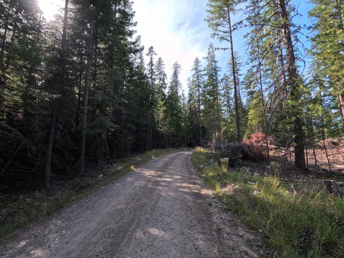
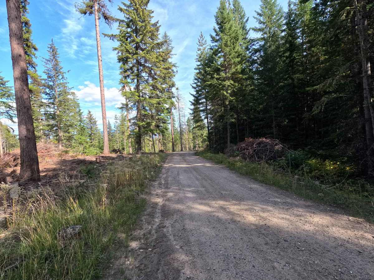
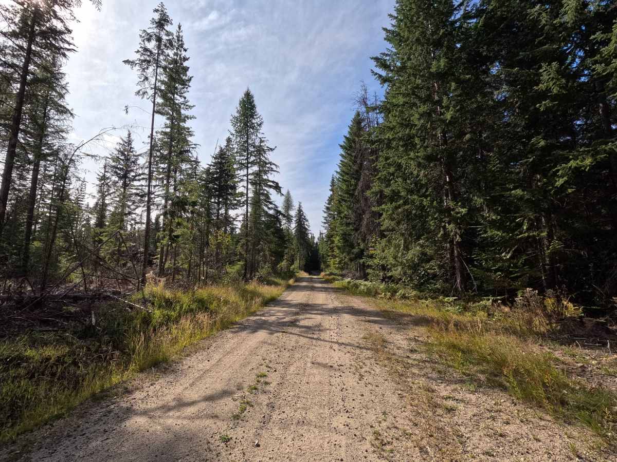
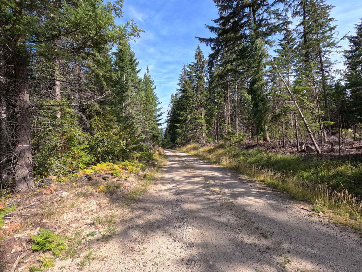
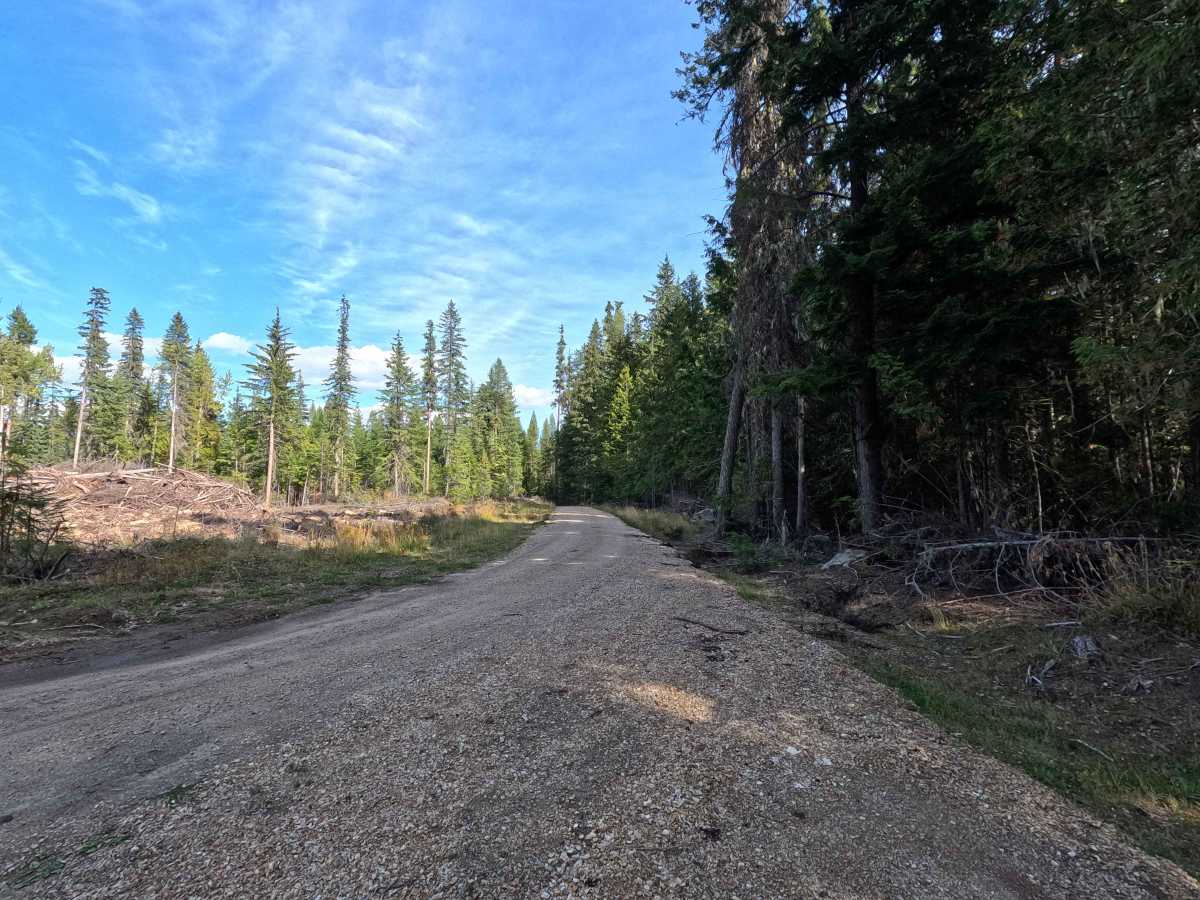
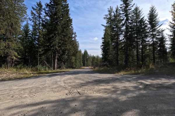
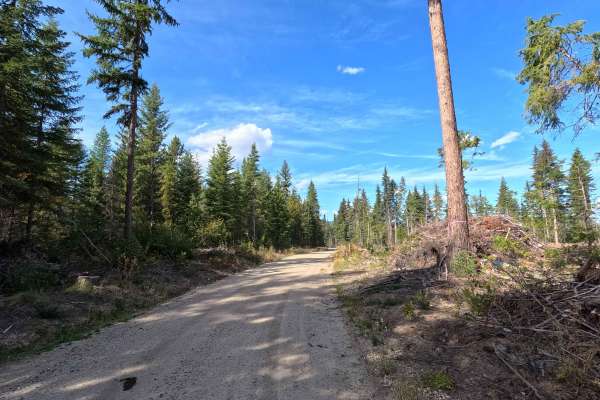
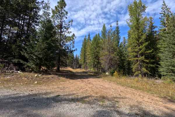
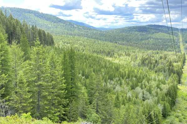
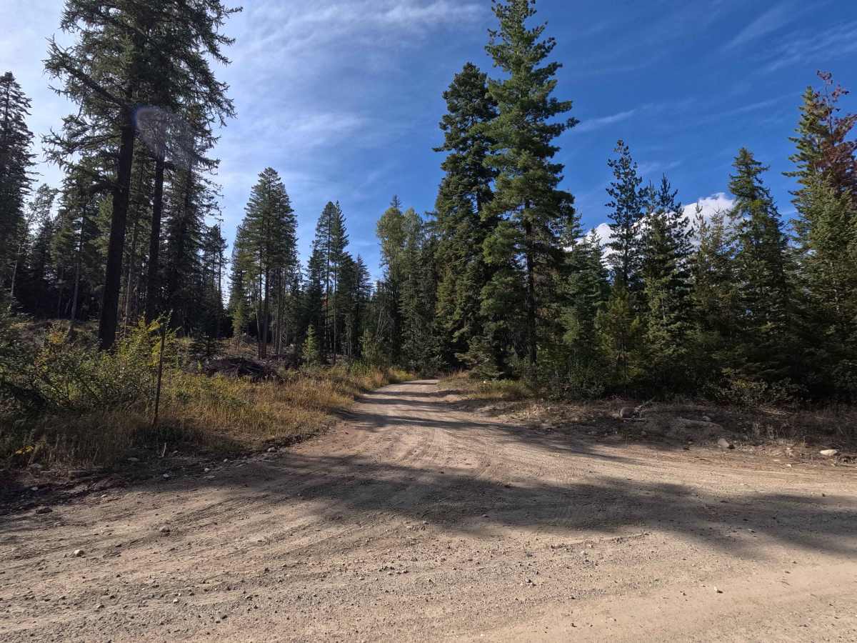
FS 1700440 is a 1.4-mile point-to-point route through Colville National Forest. This single-lane gravel road is well maintained and winds through the forest in spots. The route ends at a gate. Although the gate was open when mapped, the road beyond this point is shown as closed to motorized travel on the MVUM, so users should not continue beyond the mapped endpoint. FS 1700440 is open year-round to highway-legal vehicles.

Photos of FS 1700440

Difficulty

FS 1700440 is rated easy. The gravel road is well maintained with no significant obstacles, making for a straightforward drive under normal conditions.

Technical Rating

1

FS 1700440 Trail can be accessed by the following ride types:

  • High Clearance
  • Full Width

FS 1700440 Map

The onX Offroad Difference

onX Offroad combines trail photos, descriptions, difficulty ratings, width restrictions, seasonality, and more in a user-friendly interface. Available on all devices, with offline access and full compatibility with CarPlay and Android Auto. Discover what you're missing today!

Open Trail Map