Trail Overview
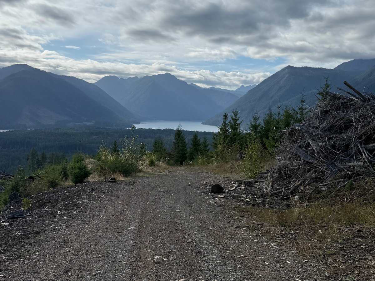
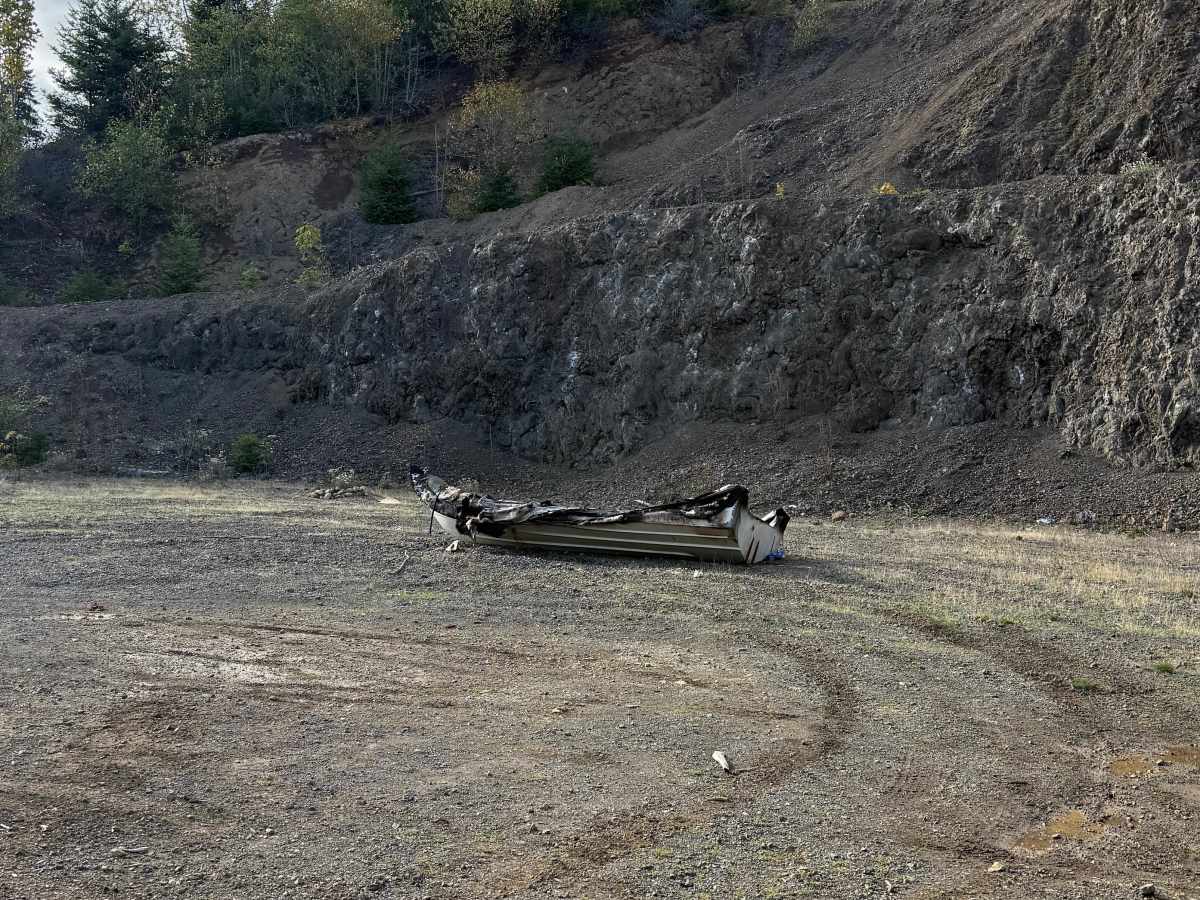
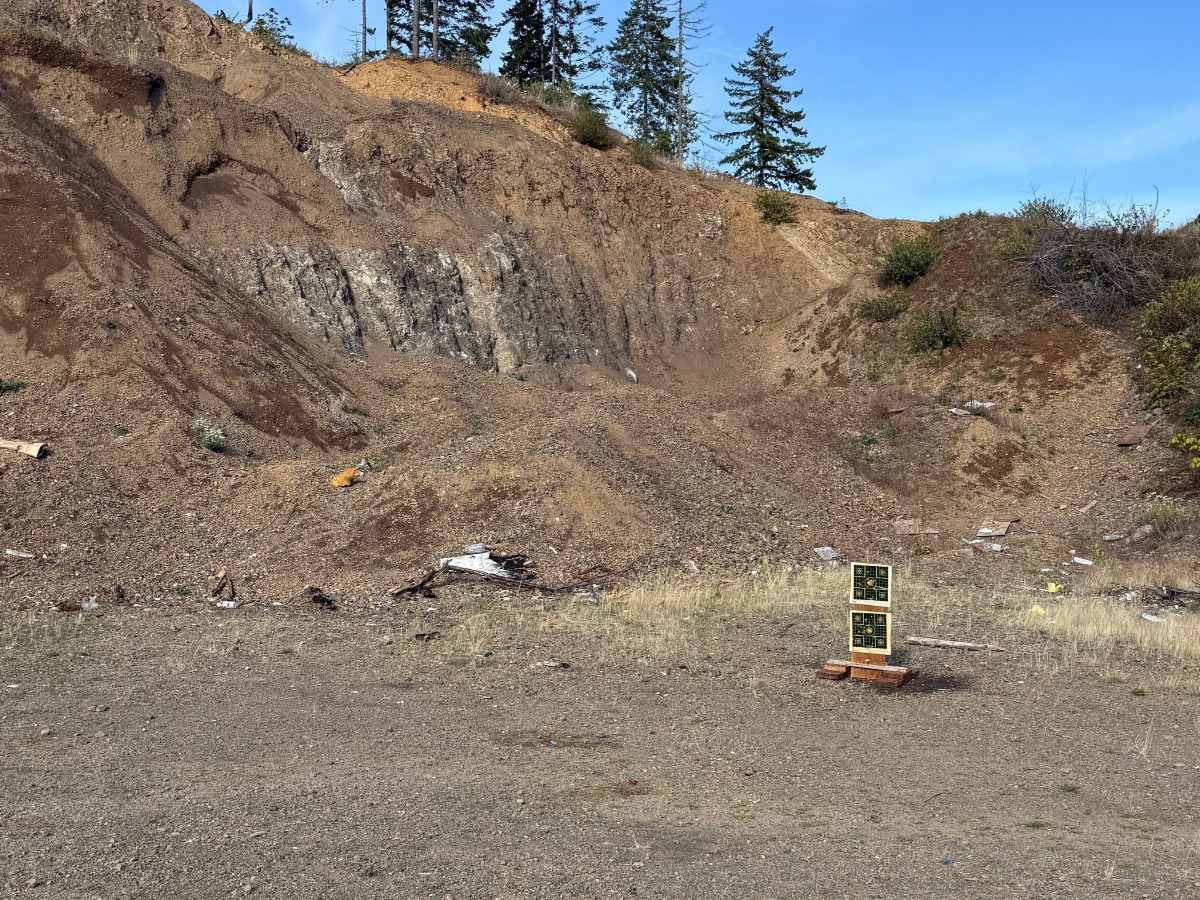
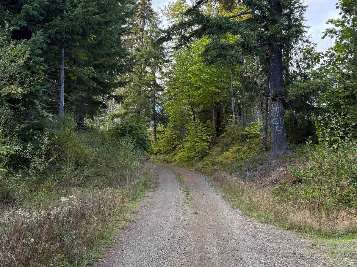
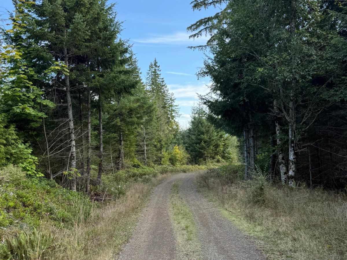
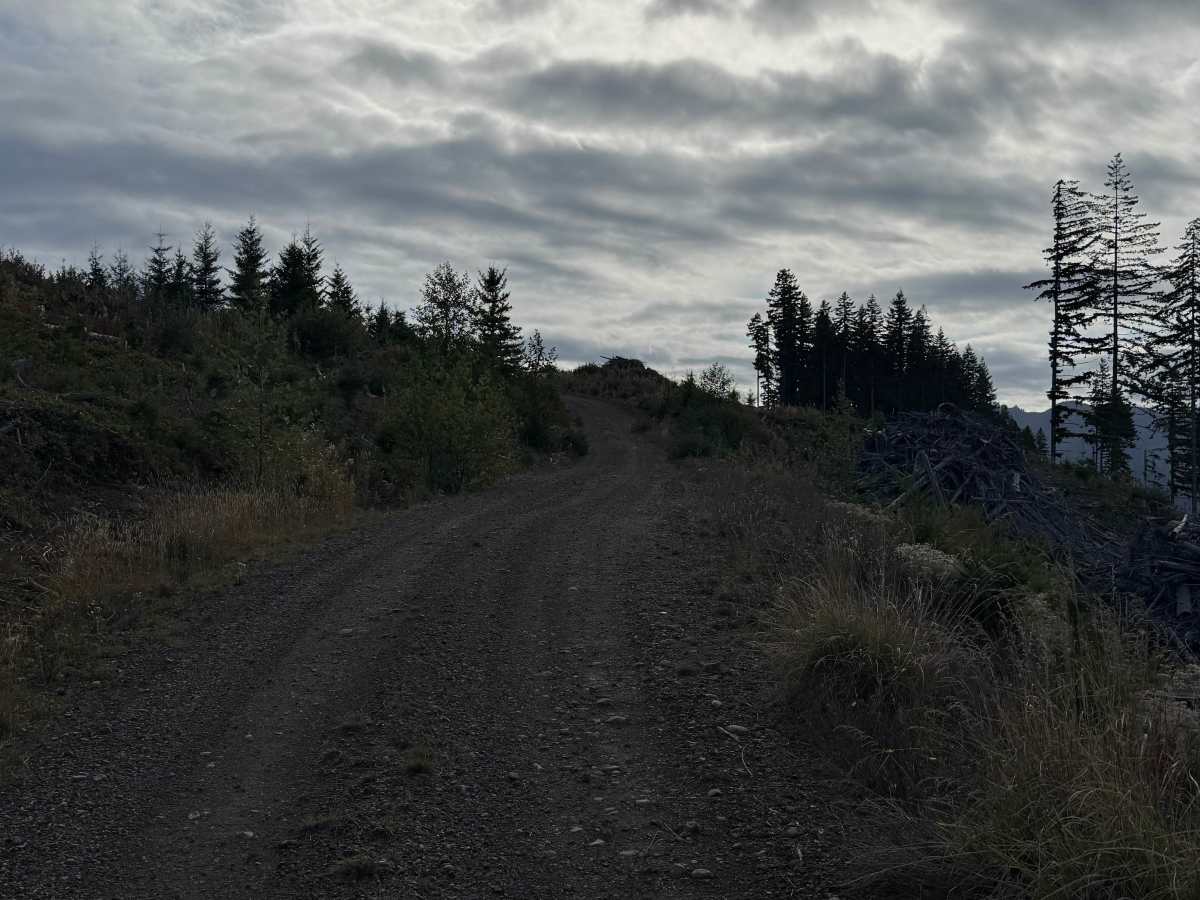
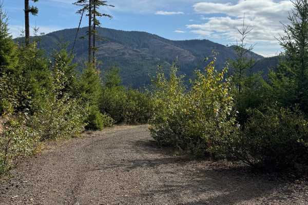
DNR Road 1263 is an easy single-vehicle-width route on Washington DNR-managed land that takes you up Saddle Mountain. The road is open to street-legal vehicles, including plated motorcycles. The route follows winding hardpack dirt as it steadily climbs through dense forest, with several small spur roads branching off along the way. Near the upper portion, vegetation begins reaching into the roadway, and the trail becomes slightly overgrown, but there are no significant technical obstacles. Openings in the forest provide impressive views of surrounding lakes and mountains, including distant snow-capped peaks on clear days. Near the beginning is an area commonly used for recreational shooting, with targets and an old rowboat present when mapped, so riders should remain alert for other recreational users.
Difficulty
Firm hardpack with winding turns, a gradual mountain climb, and light overgrowth near the upper portion. There are no significant rocks, ruts, ledges, water crossings, or other technical obstacles.