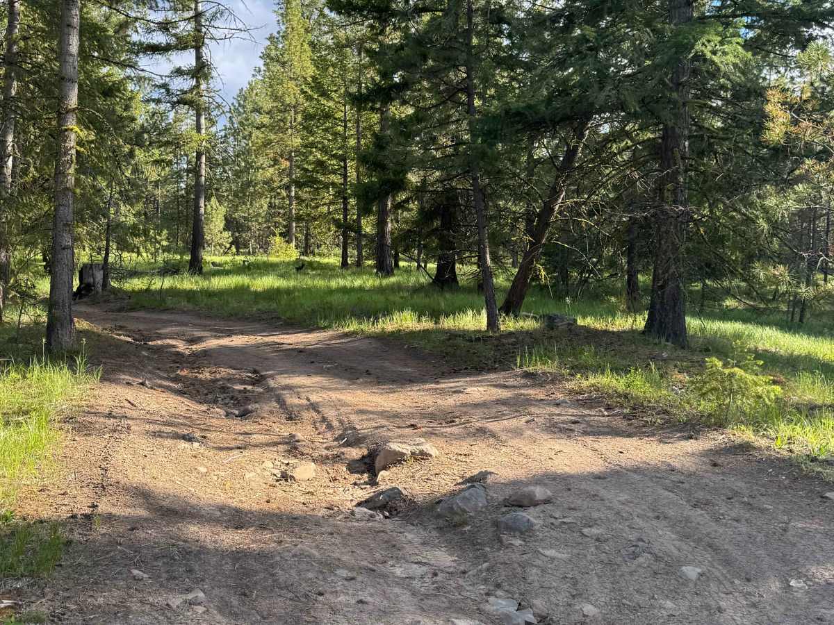
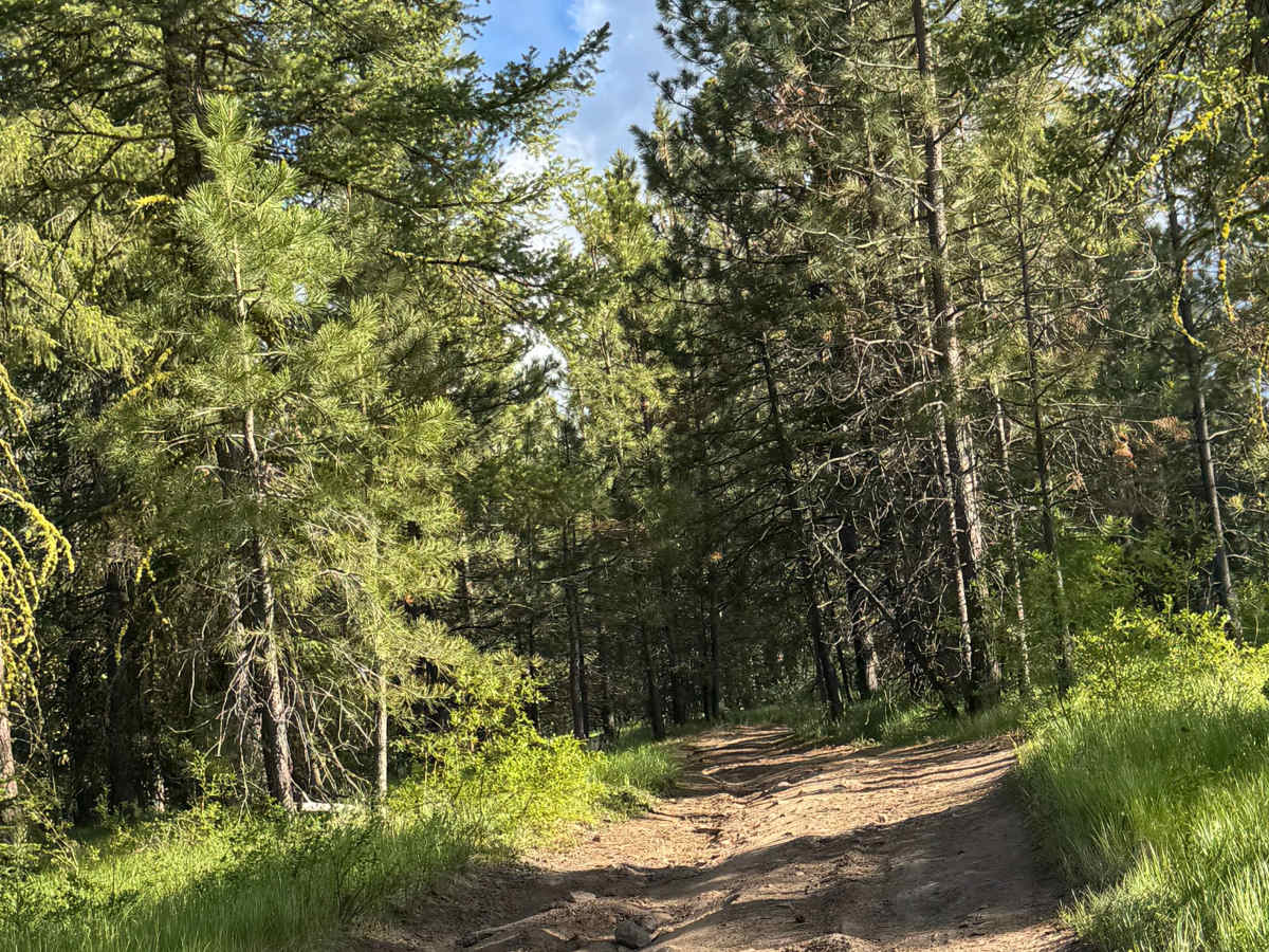
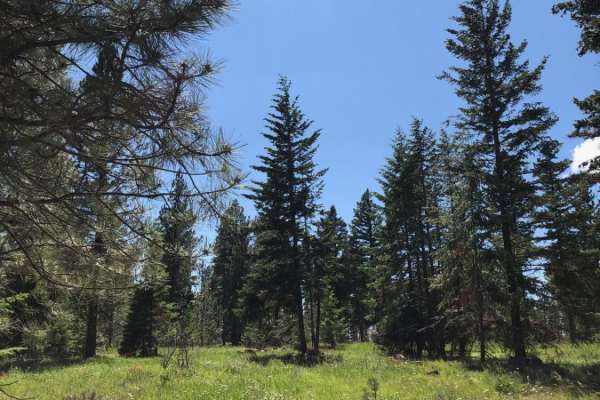
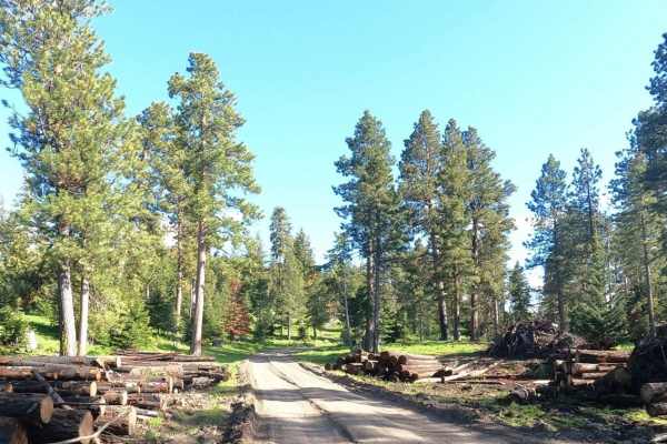
Trail Overview
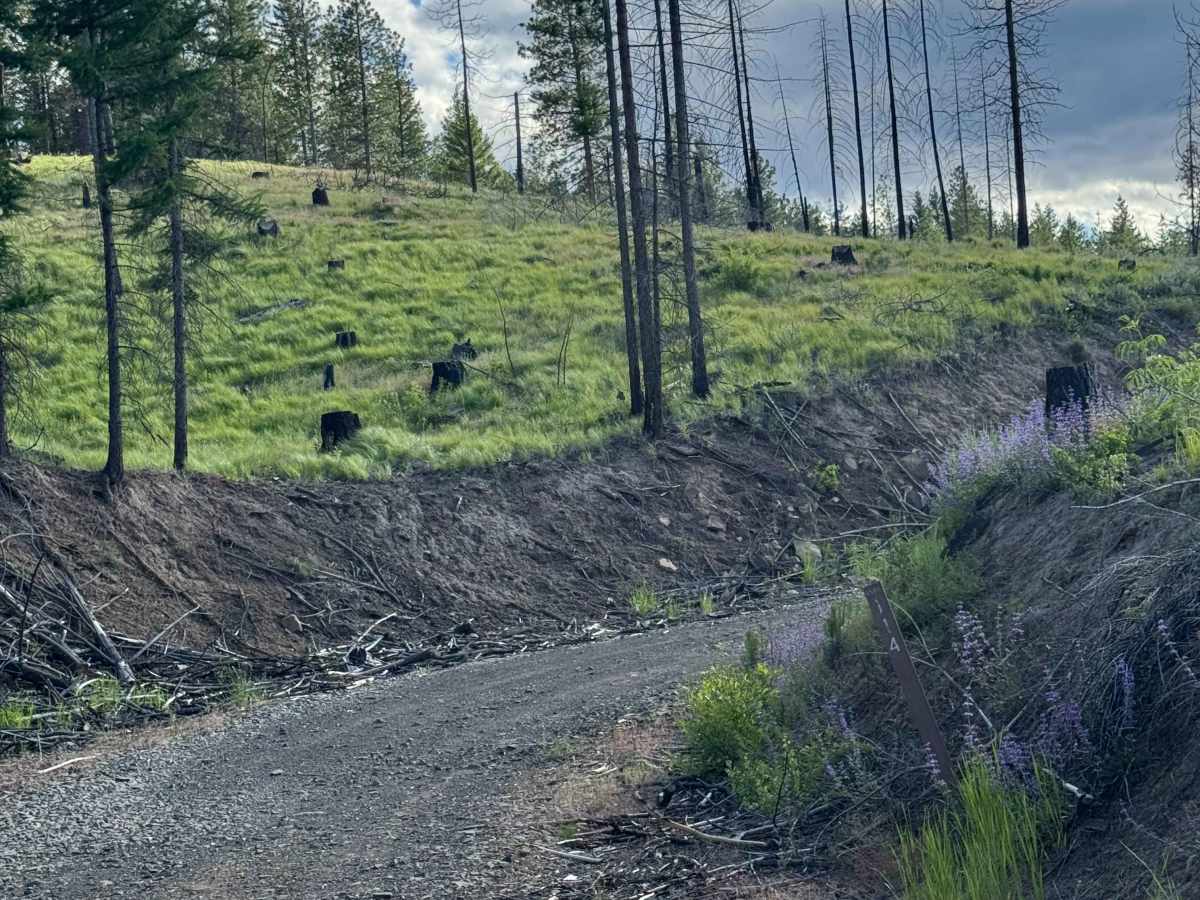
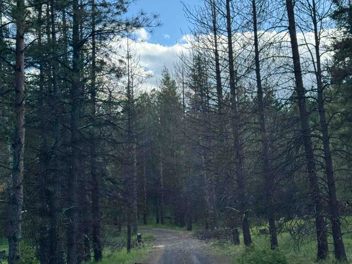
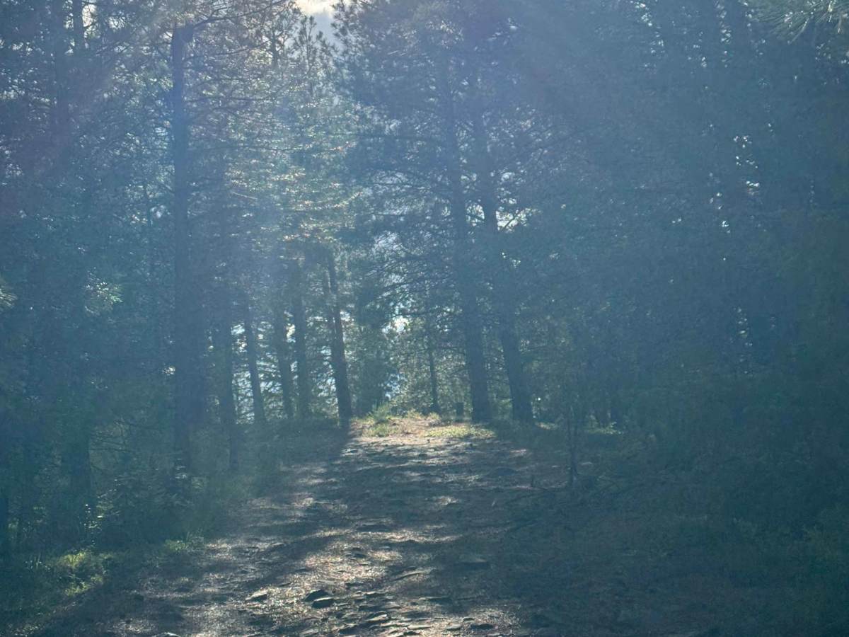
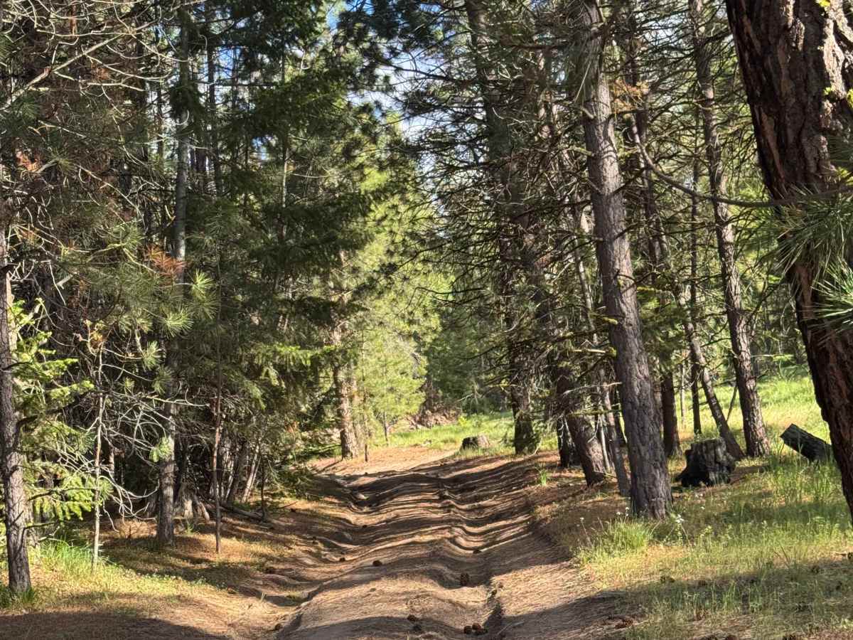
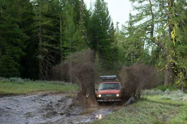
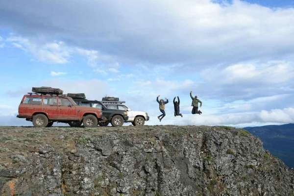
This is a narrow, dirt-based forest road that starts off as gravel and wide. The trail climbs approximately 1,800 feet in elevation with multiple small switchbacks. Near the top, you will drive a long and exposed ridge/cliff overlooking and running parallel to Devil's Canyon. The trail to the top has ruts and wash a foot and a half deep, and then the ridge has some rock garden and exposed boulders to drive over. The trail ends on a point named Devil's Table overlooking the canyon and with a view of Mount Rainier, Aix, and many others in the area. The views from this point are stunning, and standing on the edge of the table/cliff is one of those places that make you feel small. There are multiple dispersed camping spots along the trail, and this would be a great camp or lunch location. Cell service was decent, but there are no amenities along the trail, so travel prepared with all needed supplies. You are approximately 25 minutes from the nearest services and supplies, and a high clearance 4x4 is recommended for this trail.
Difficulty
Narrow, dirt based forest road with switchbacks that lead to an exposed ridge/cliff with high ledges. There are ruts and wash a foot and a half to two feet and serious rock garden sections on the ridge. High clearance 4x4 recommended.