Trail Overview
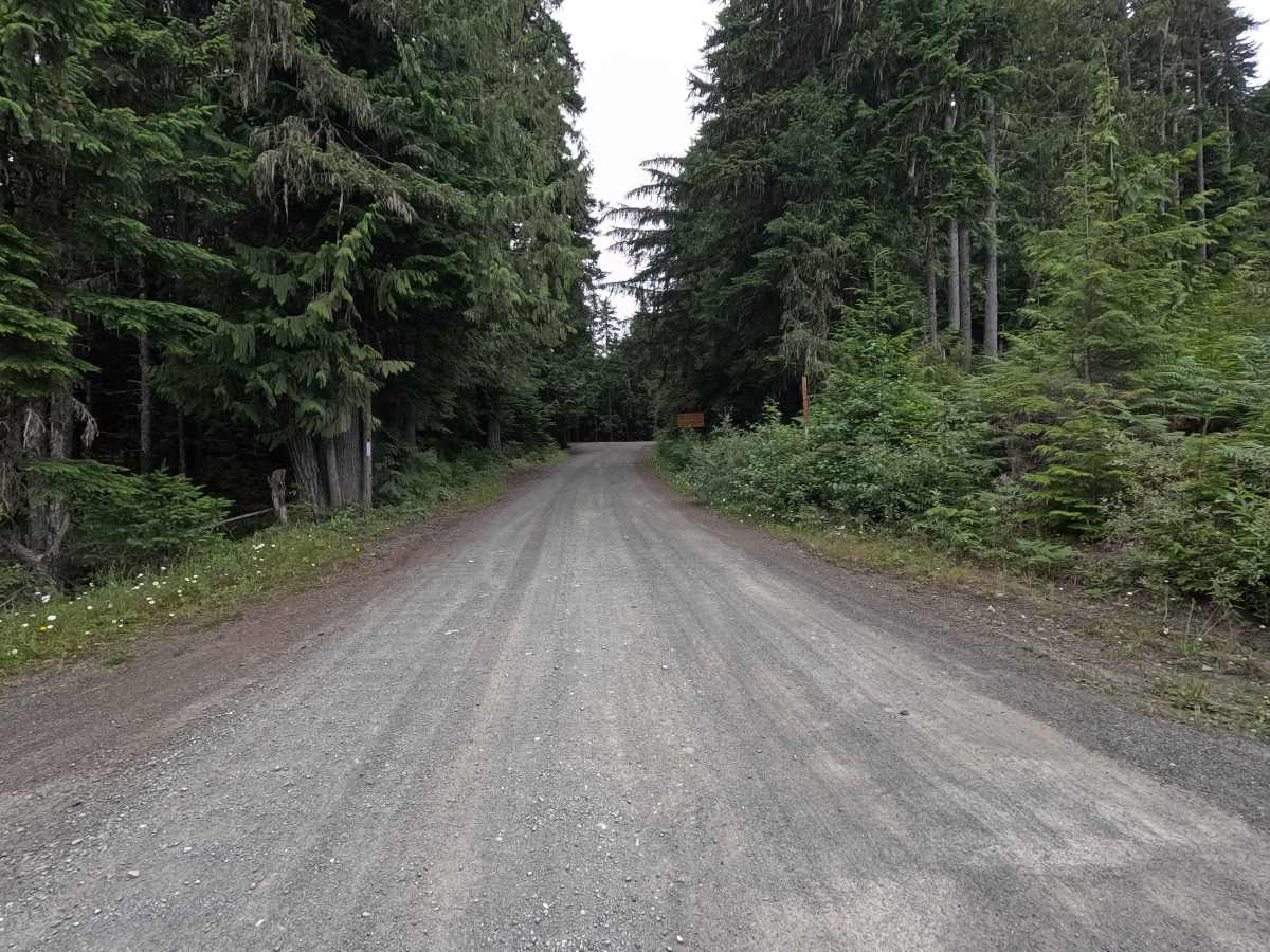
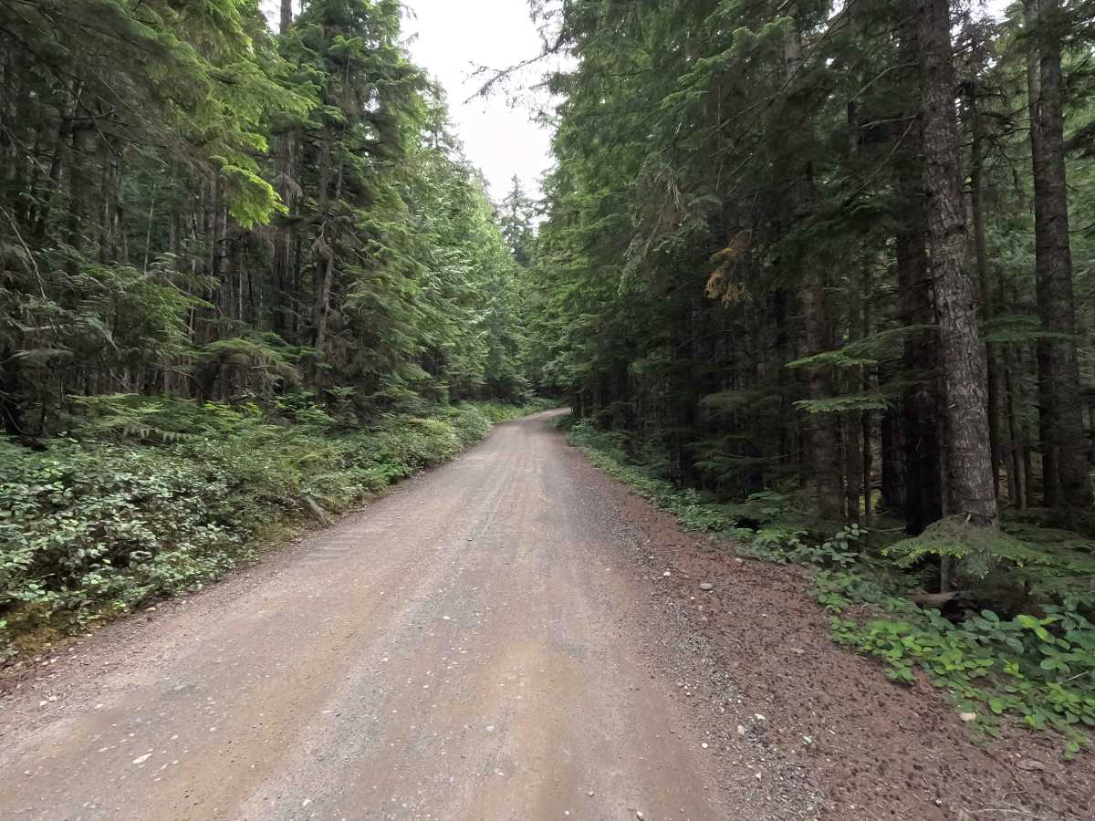
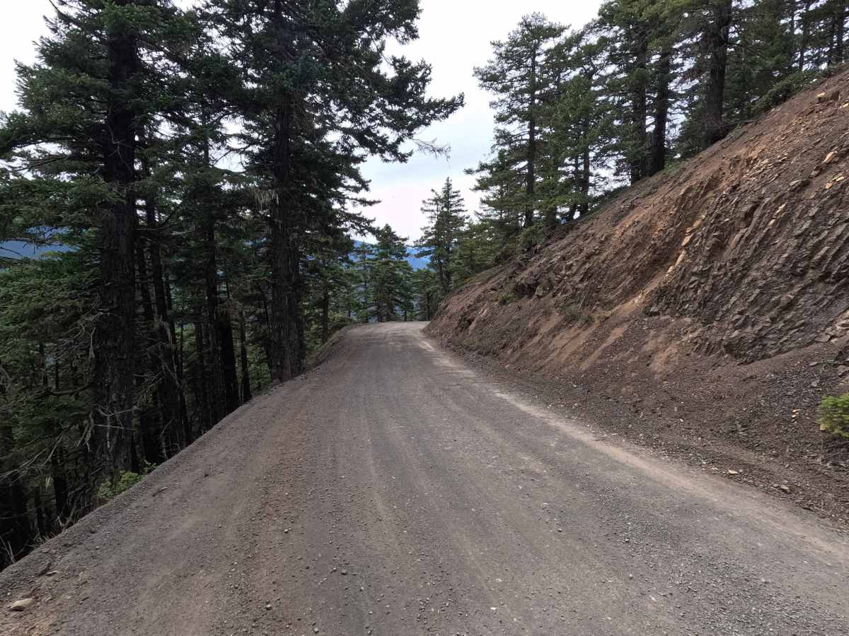
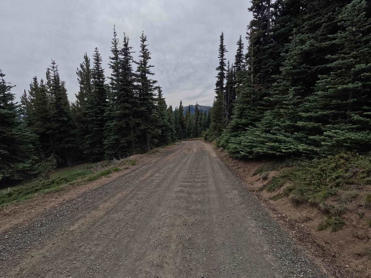
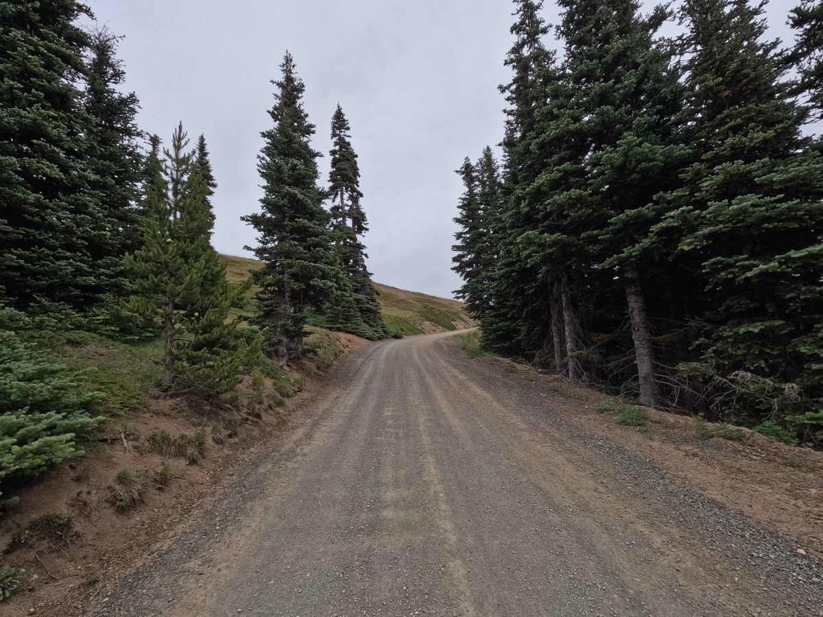
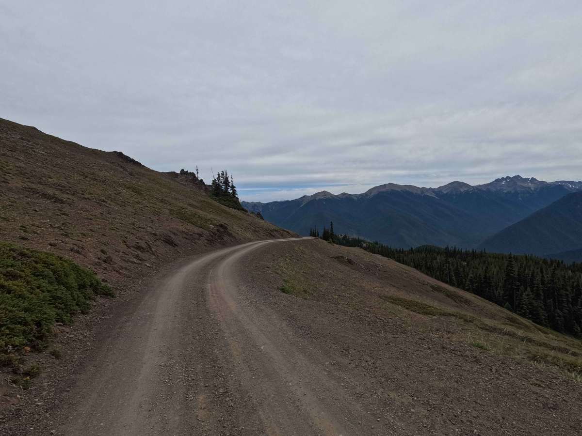
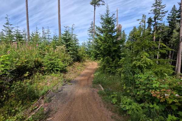
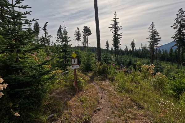
Deer Park Road is an 8.7-mile out-and-back single-lane gravel road that climbs to one of the highest drivable areas in Olympic National Park. The route is generally well maintained, with numerous pullouts that allow vehicles to pass, but several sections traverse steep hillsides as a shelf road with limited room for error. Washboarding is common along much of the drive, and blind corners require extra caution due to frequent oncoming traffic. The road ends at the Blue Mountain Trailhead and also provides access to Deer Park Campground and the Obstruction Point Trail. Deer Park Road is subject to seasonal closures due to snow, with opening and closing dates varying each year based on conditions.
Difficulty
Deer Park Road is rated easy. The road is suitable for most vehicles in dry conditions and contains no significant obstacles. Drivers should expect frequent washboarding, occasional shelf road sections, and blind corners where oncoming traffic is common. Using pullouts to allow opposing traffic to pass and maintaining a safe speed around corners will help ensure a safe and enjoyable drive.