Trail Overview
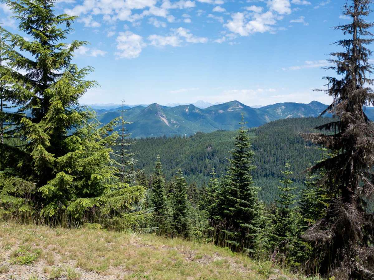
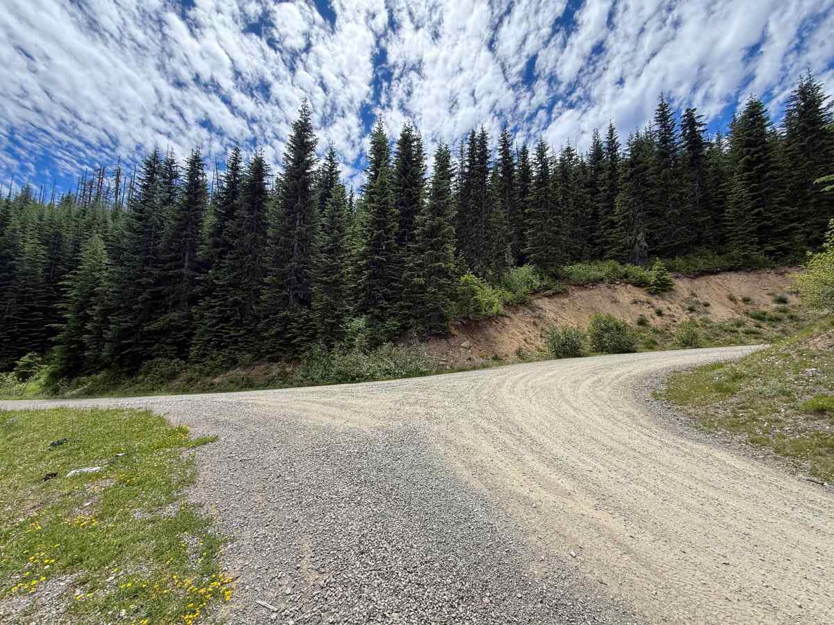
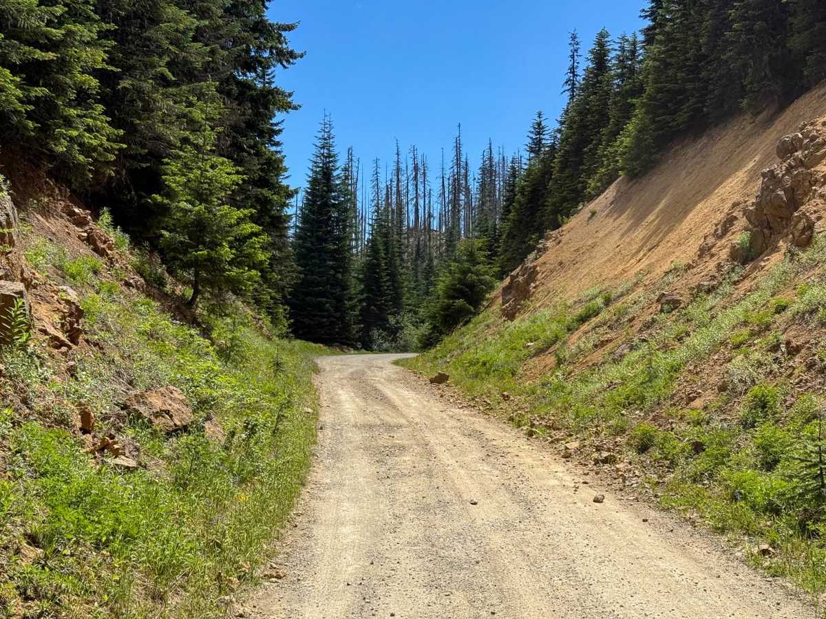
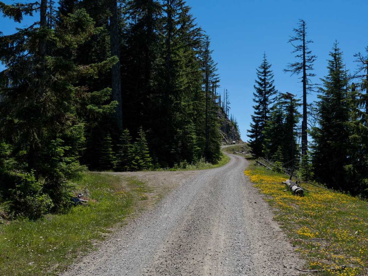
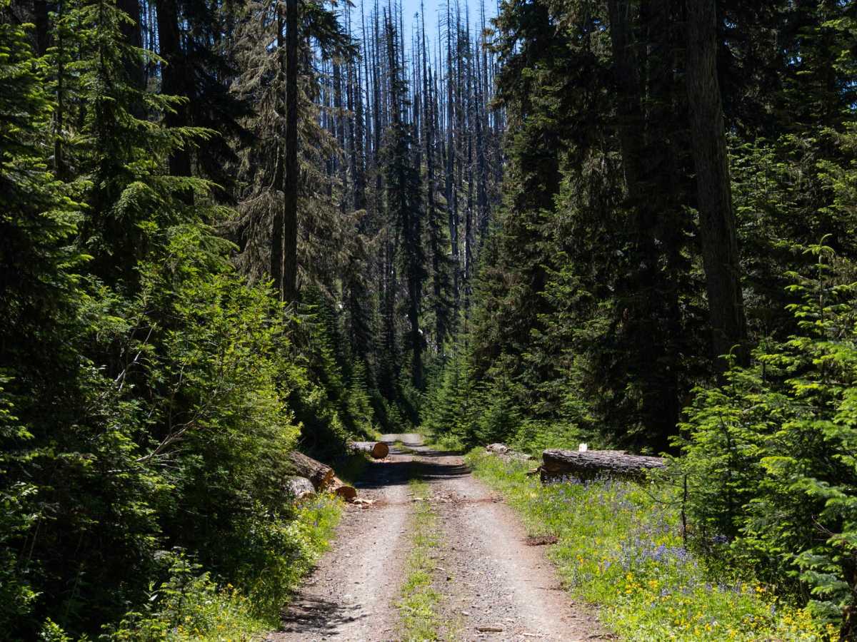
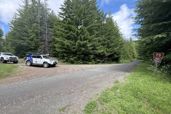
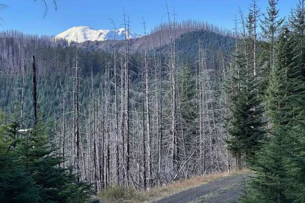
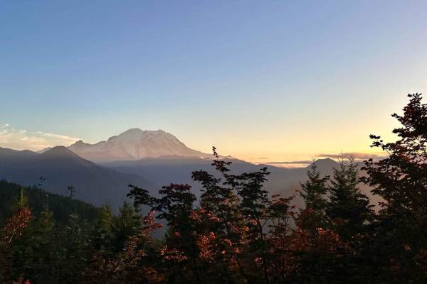
When traveling the Twenty-Eight Mile Creek trail, at the 7.4-mile marker, an uphill rightward hairpin marks the beginning of this route. The first of many spurs awaits at the next big curve. Up the hill after the curve, the first camp-friendly pullout is encountered, the first of many as well. Continuing on this route, the signs of a previous forest fire begin to encompass the trail. At about the 1.3 mile mark, Mt. Rainier makes its appearance and will stick around for most of this route. 2.2 miles in, a spur up to the left appears with two prime camping locations looking to the north; this is also the highest point along this route. From here, the route descends back into the trees. The signs of last year's torrential rainfall become visible with fallen trees that have been cut up or moved to allow vehicles through. At 2.9 miles, there is a large group camp with multiple fire rings that appears to also be used for target and skeet shooting. Continuing down the route to the 3.8-mile point, a lengthy spur becomes available but has a large tree trunk blocking the path, so it is currently inaccessible. From this point, the route earns its "3" difficulty. First, the spacious gravel road becomes two dirt tracks for tires with vegetation in the middle. Next, the foliage extends more and more towards the middle of the trail, ensuring contact with full-size vehicles. There is a sizable pile of brush in the road at 5.4 miles and a log that was cut to allow passage at 5.8, both obstacles barely allowing a full-size pickup through. The next stretch of 0.4 miles is a very narrow track with shale cascading down the hill and across the path, requiring concentration with tire placement and weight distribution. After the shale is the last available space that would accommodate turning around a full-size vehicle, the rest of the trail past here should be considered passable in a smaller, high-clearance 4x4 because of the overgrowth and clearance.
Difficulty
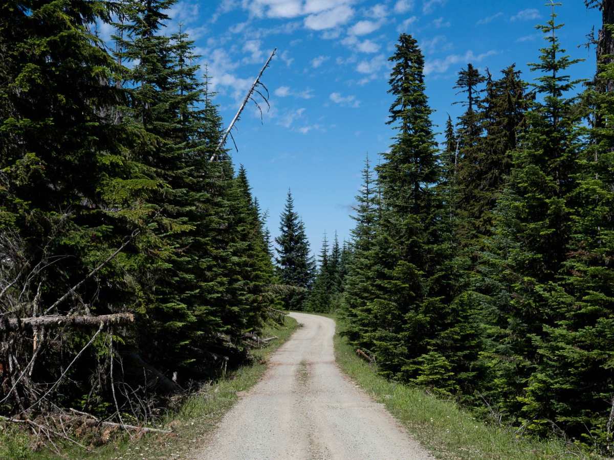
Route begins with a well-maintained gravel road with room to pull over and allow passing vehicles by. After 4 miles, the route descends into a very narrow path with overgrowth and shale ledges. This is where it earns its 3 rating; the first 4 miles should be considered a 1 difficulty.


 Offroad