Trail Overview
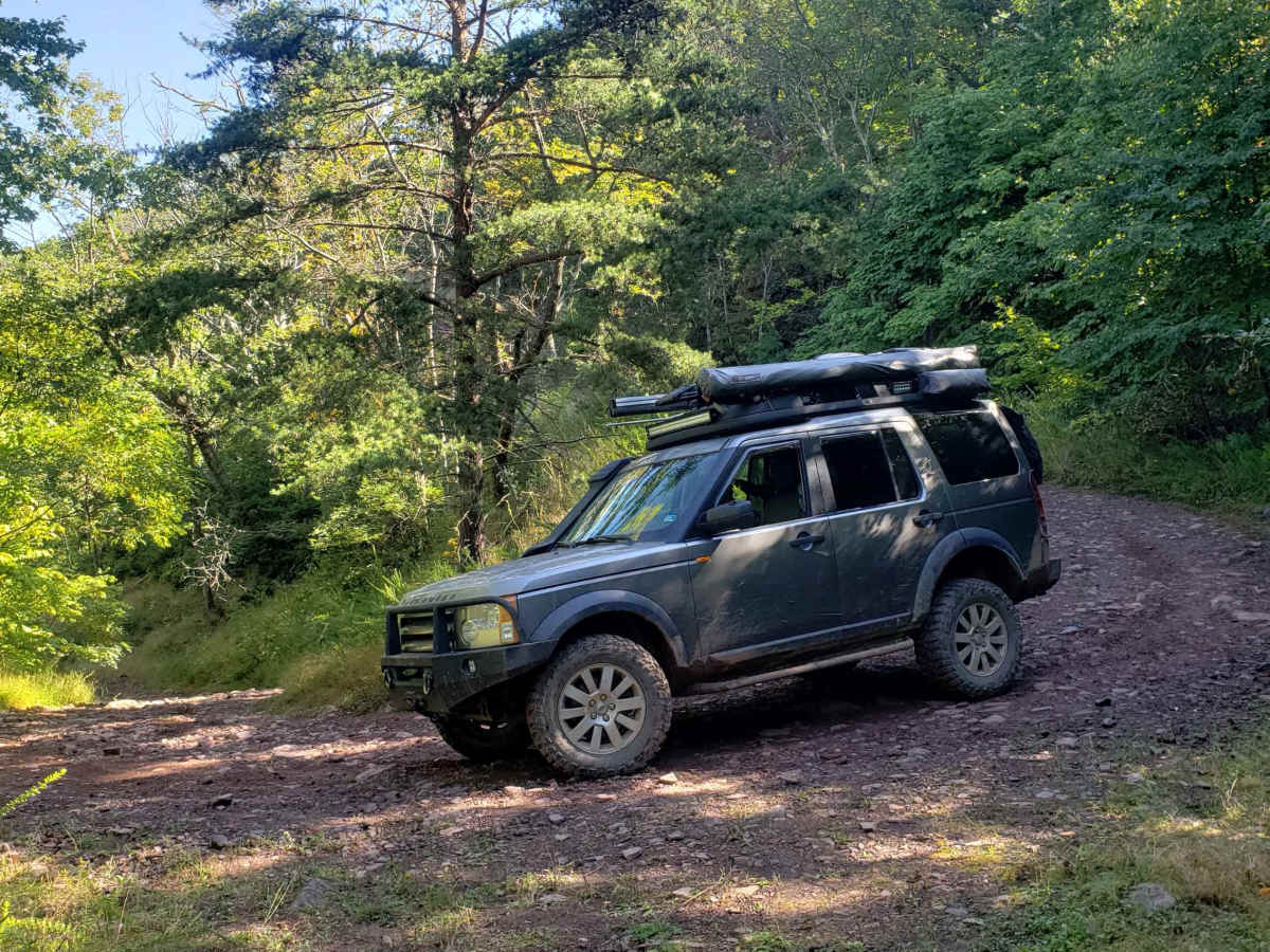
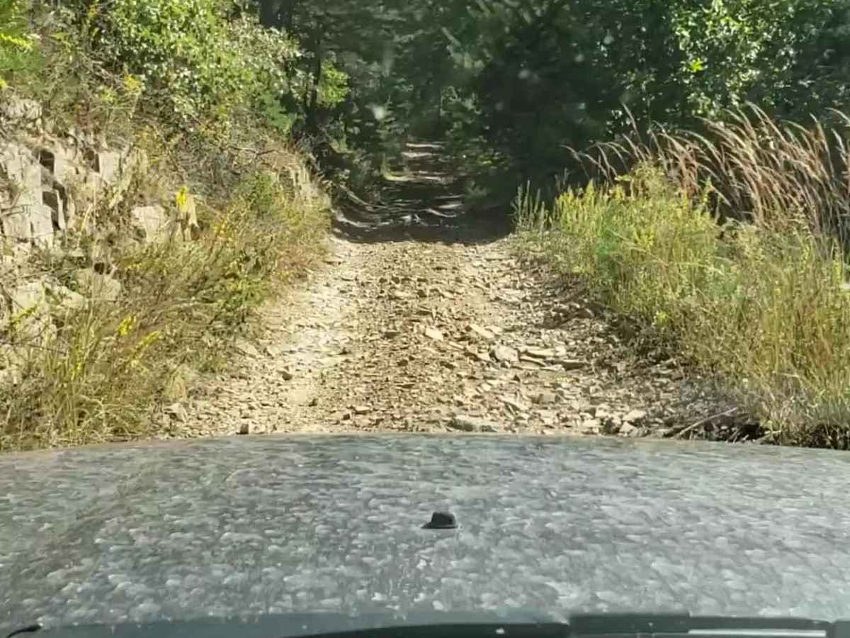
Vepco Road is an ideal route for intermediate offroaders looking for a scenic mountain traverse that combines easy cruising with moderately challenging climbs along a power line corridor. Spanning approximately 12.1 miles through the George Washington National Forest, this trail climbs from a minimum elevation of 1,638 feet up to a peak of 3,337 feet, delivering nearly 3,280 feet of cumulative elevation gain. The lower section of the route features a relatively smooth surface of gravel and natural stone, making it accessible to most high-clearance four-wheel-drive vehicles. As the trail ascends the ridge of Middle Mountain toward its intersection with Broad Run Road, the path narrows significantly, becoming steeper and far more rugged with loose rock and potential obstacles.
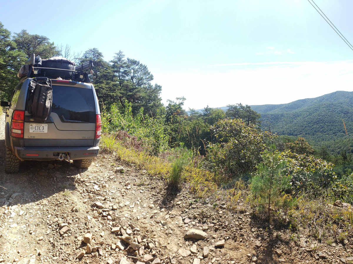
This route provides spectacular, wide-open views of the surrounding ridges and valleys, particularly along the cleared power line sections that give the trail its name, derived from the Virginia Electric Power Company. Drivers should be prepared for a technical rating of 3 due to the tight, rocky switchbacks on the upper stretches, where careful tire placement is required to navigate the uneven stone base safely. While the trail is suitable for stock four-wheel-drive vehicles, high-clearance SUVs, and SxSs, cell service is highly spotty throughout the area, making offline maps essential. Several dispersed camping spots are scattered along the corridor, offering excellent opportunities to extend the trip and enjoy the quiet mountain atmosphere.
History
Vepco Road is named after the Virginia Electric Power Company (VEPCO). The route was originally established and is still utilized to access and maintain the high-voltage electrical transmission lines that run along the mountain crest.




 Offroad