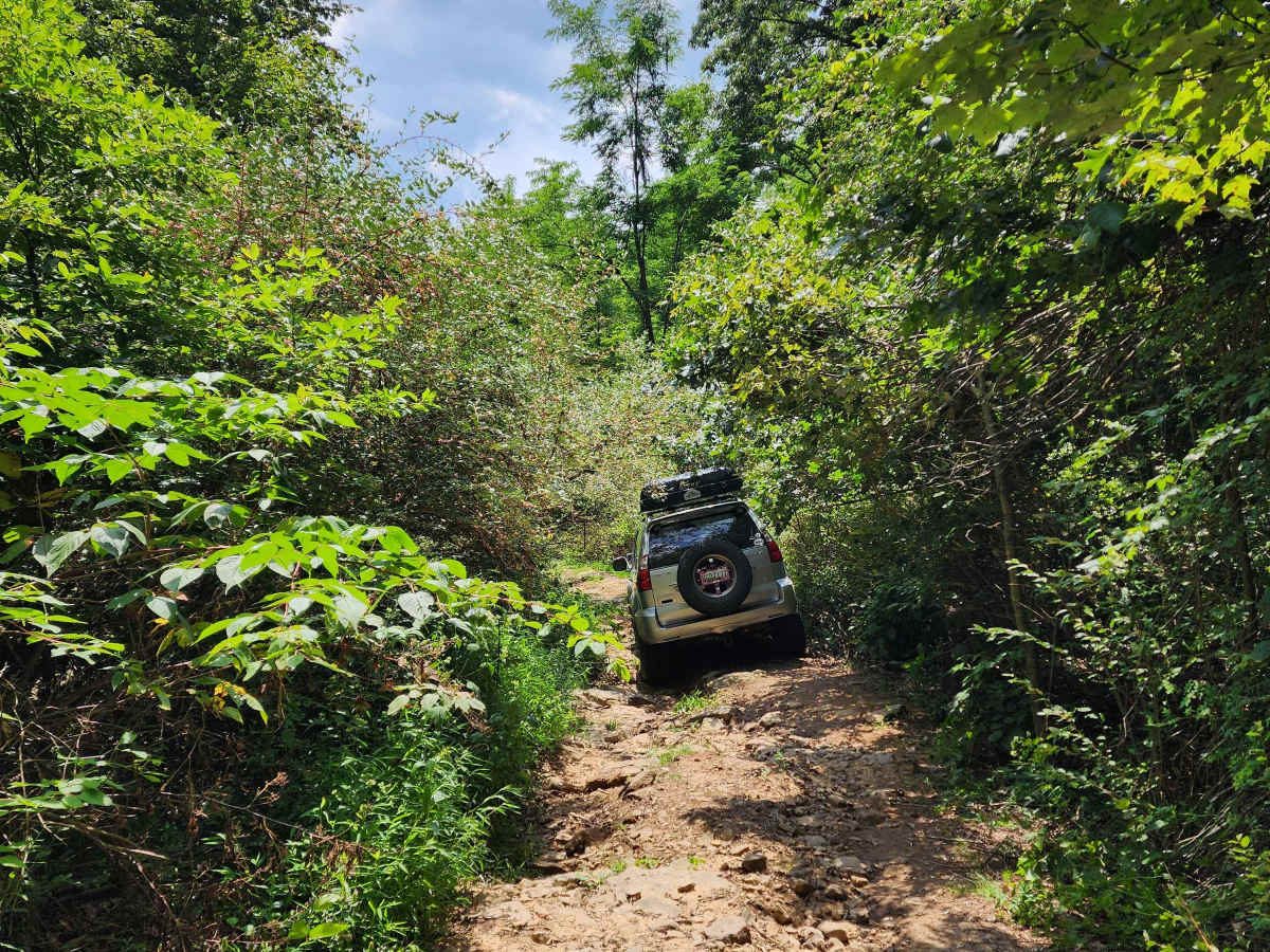
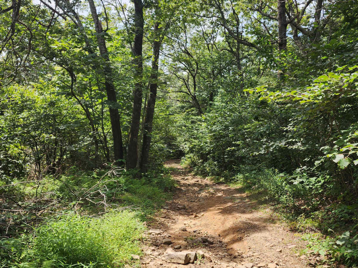
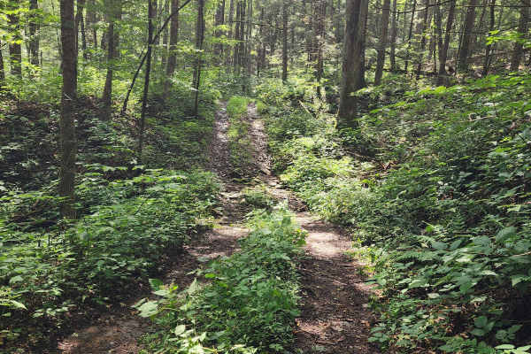
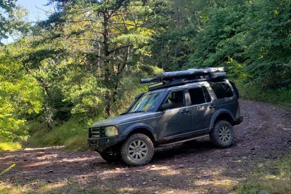
Rocky Run

Total Miles 4.9
Technical Rating
4 Moderate
Best Time Fall
Trail Type Full-Width Road
Accessible By
Open Trail Map

Trail Overview

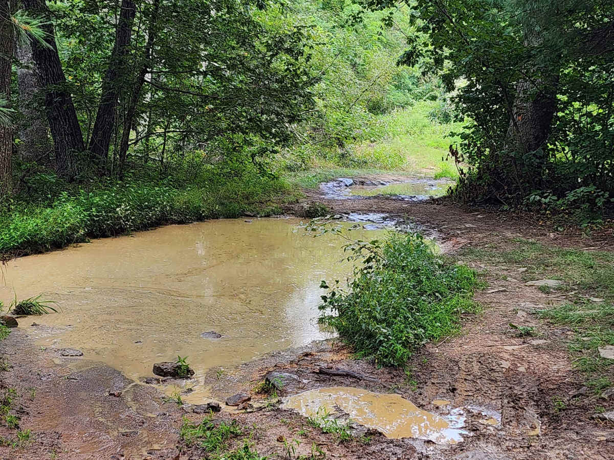
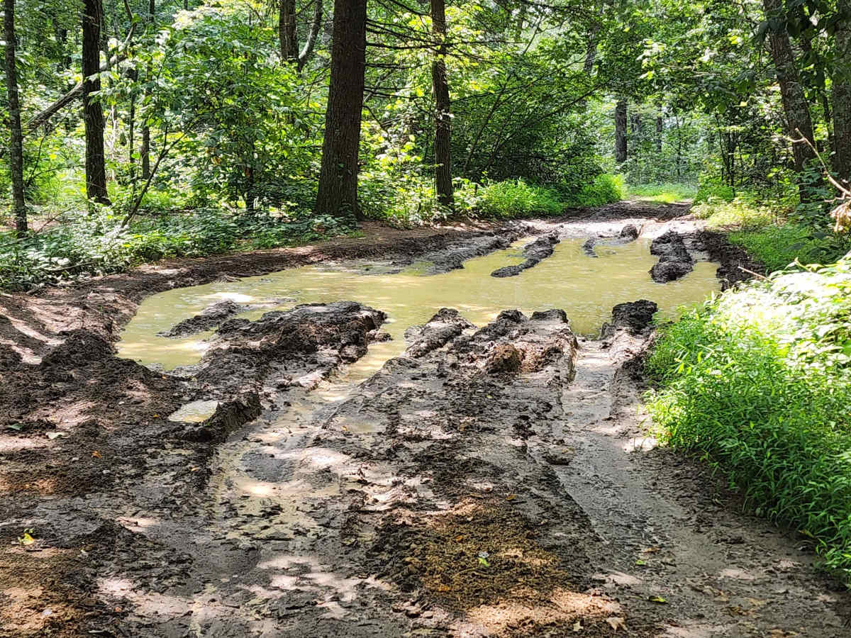
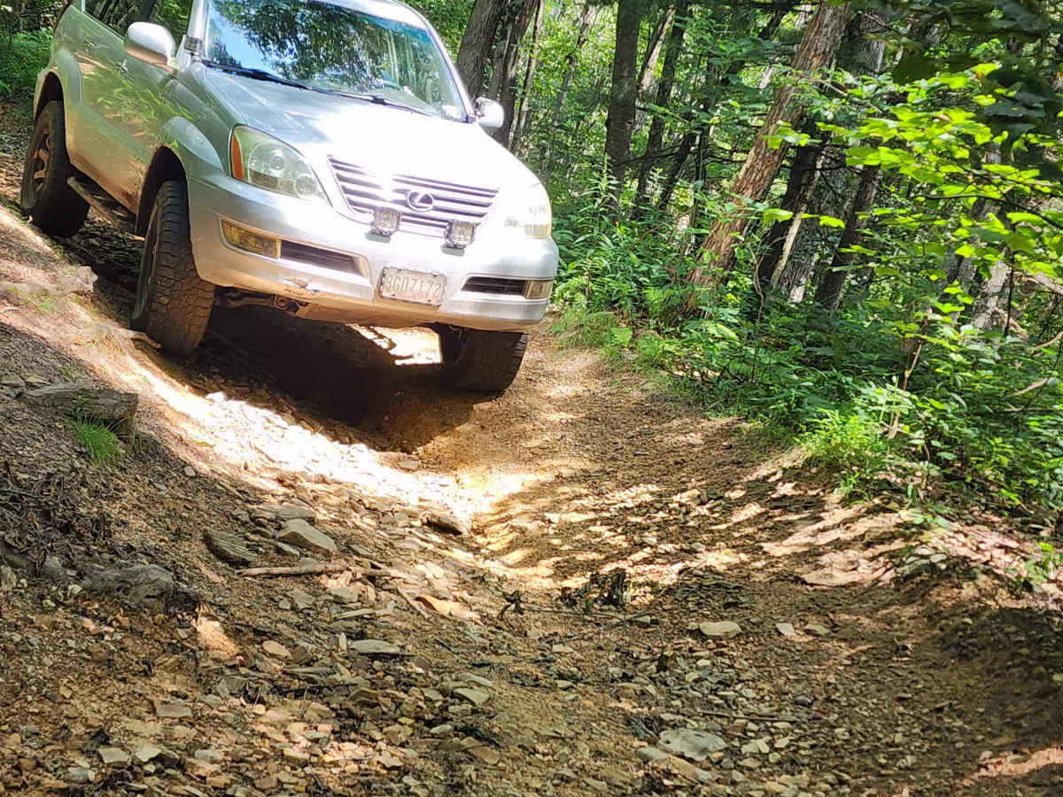
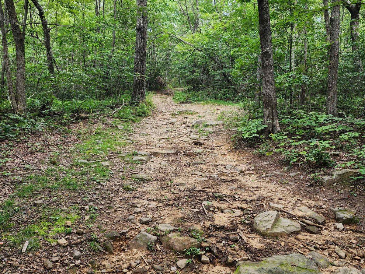
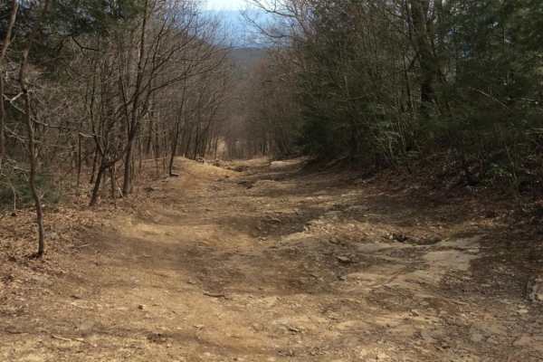
This is an out-and-back trail that begins on a maintained gravel road before transitioning into more challenging terrain. The first section feels like a mix between a green and a blue rating, with a side spur leading to a clearing suitable for a break, lunch, or camping. Beyond this point, the trail becomes tighter and less maintained, with overgrown brush, downed trees, and areas of mud. Most puddles are manageable, but one has a soft bottom and should be avoided using the go-around. About three-quarters of the way in, a broken tree blocks part of the path but can be bypassed, and it could be cleared with a chainsaw if needed. The trail ends at a gate, with an ATV path branching off to the left that is not suitable for 4x4s. The return drive is often more enjoyable since obstacles are familiar, and the exit along the gravel road provides a smooth finish to the run.

Photos of Rocky Run

Difficulty

After the easier opening section, the trail quickly settles into a steady moderate difficulty. Drivers should expect possible pinstripping from tight brush and occasional areas of deep mud. There are no large or loose boulders, but four-wheel drive is required. Full-size vehicles can get through, but the trail is narrow and will be a rough experience.

Technical Rating

4

Status Reports

Add Status Report
Jonathan Works
Dec 21, 2025
Open
Don’t do this trail. I’ve done a lot of off-roading this trail to me was not fun or worth the drive. There are no real obstacles that make it fun. It’s just driving on a tight road with lots of bumps and insane amount of pin striping. Most trails have pin striping and that’s fine. But it feels like you’re just riding this trail to get pin striping on a trail that’s easy as long as you take it slow. Then once you finish you reverse to get more pin striping. Skip this trail it’s genuinely not enjoyable.
Jason
Dec 12, 2025
Open
Few small trees down, but can easily be driven over. 1 large tree is down and can be driven under if you're not too tall. Not sure why it says my vehicle isn't allowed on this trail, but I ran it on a Polaris Sportsman XP1000 with no issues.
Latham Fell
Dec 07, 2025
Open
Access to this trail is not where the OnX navigation currently takes you! Instead, head up 72 to Cline's, then down to Dictum Point. From there it's an out and back. True to the name, there are lots of rocks, although nothing too crazy. The best part are the mudpits, especially when they're full of water and frozen over!
Christopher Courtney
Oct 19, 2025
Open
We were able to get down to past the gate at the bottom by going around the fallen trees (and under the one that crosses the trail by the bottom), but the trail was completely impassable because of a washout and fallen trees at the bottom. As the last trail report said, the trail was super narrow and the east coast pin striping was in full effect, hurt my soul to have to go back up the trail when we go to the bottom, but such is life. I had no issues with the mud pits on my 37’s, but they were deep, so use caution if your uncomfortable with deeper/sticky mud, as that would have SUCKED to be stuck in that mud! Would highly recommend this trail (very pretty this time of year), if you don’t mind the pin stripes.
Engel C
Oct 17, 2025
Open
Trail had a couple of downed trees. The small one I was able to cut and clear off the trail was in the beginning portion of the trail. The big one i couldn't squeeze under was towards the end of the trail (probably last 1/4 mile) so I just turned around. The mud pit pictured on the right is pretty deep and very thick mud, almost got stuck with 35s. Lucky I was able to back out of it and took the left one instead. The trail was nice and pretty rocky. No big obstacles but very tight on a few spots. Definitely pinstripe alley. Campsite at 38.56175, -79.03143.
Thomas P
Sep 28, 2025
Open
Wow there is so much misinformation on this trail submission. First, the trail is called Dictum Ridge not Rocky Run. Forest Service Road #422 Dictum Ridge is open to highway legal vehicles and is an out and back road. Forest Trail #426 is Rocky Run and runs concurrent with FSR #422 & FSR #502 to form a loop and is for ATVs <50". Second, the actual trail starts about a mile south of this track at the Cline's Hacking Trailhead & Parking Area. The first mile from the intersection at Vepco Rd is well maintained gravel. Third, since the trail starts at the parking area, and is an out and back trail, the total trail length will be about 8.5 miles. Fourth, Dictum Ridge is not a Moderate level 4 trail. While it can be tight, and rough with lots of small rocks, there are no real obstacles, and there is only mud if conditions are especially wet. Unless there has been recent heavy rain the trail is usually fairly dry and 4wd is not really needed. Most of the trail rates a 2, 3 at most, so most vehicles will be fine.

Rocky Run Trail can be accessed by the following ride types:

  • High Clearance
  • Full Width

Rocky Run Map

The onX Offroad Difference

onX Offroad combines trail photos, descriptions, difficulty ratings, width restrictions, seasonality, and more in a user-friendly interface. Available on all devices, with offline access and full compatibility with CarPlay and Android Auto. Discover what you're missing today!

Open Trail Map