Trail Overview
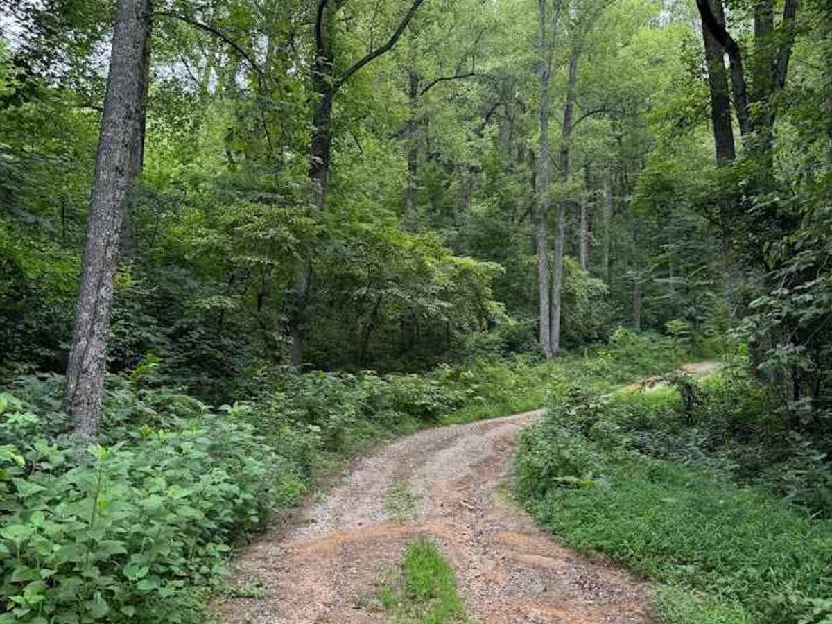
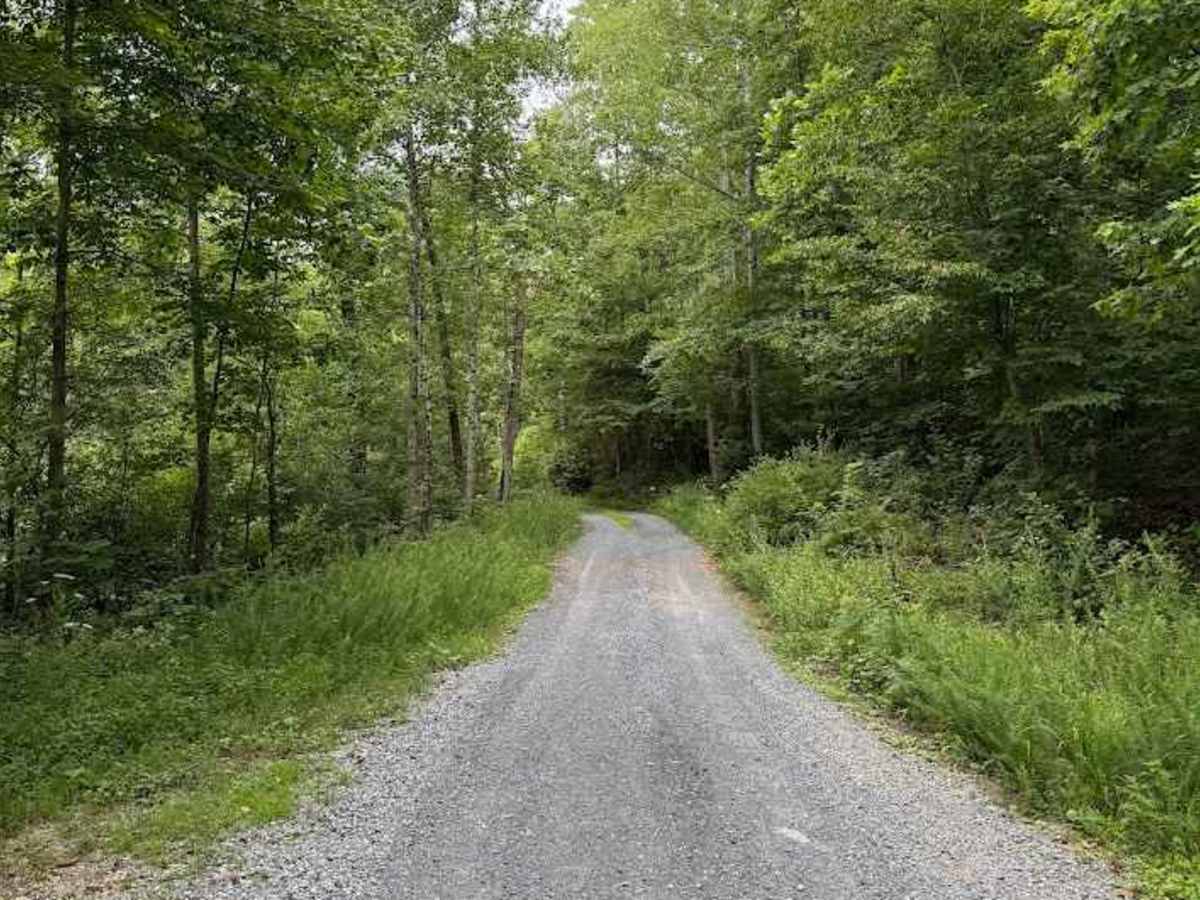
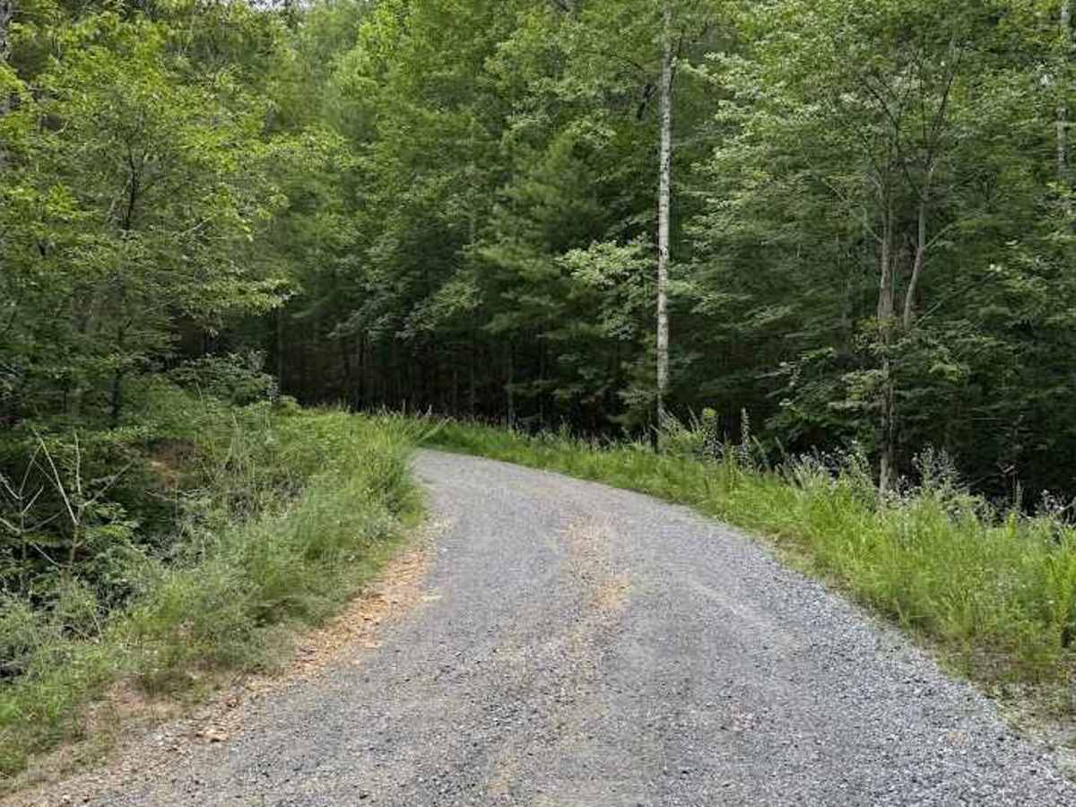
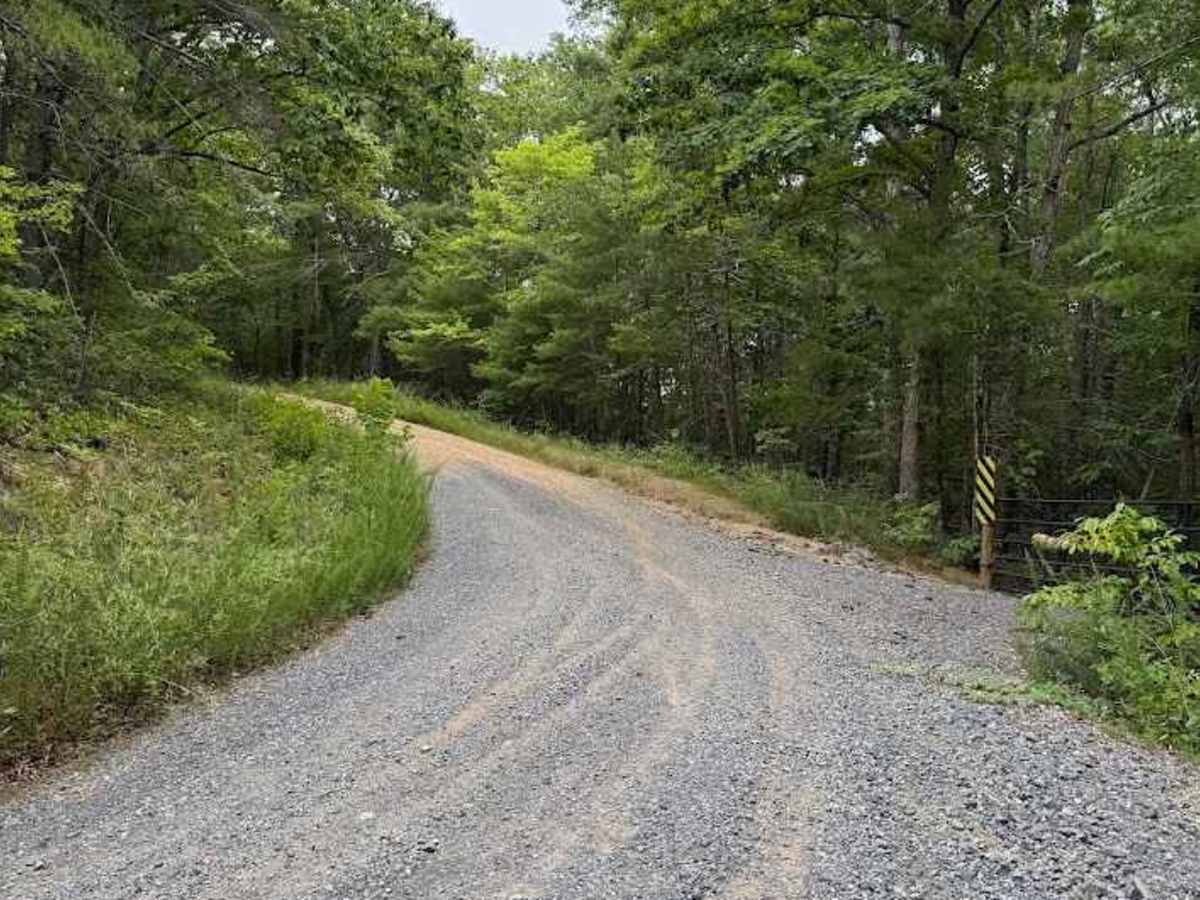
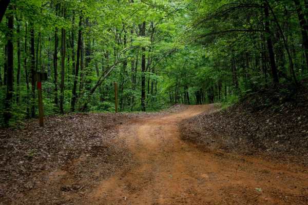
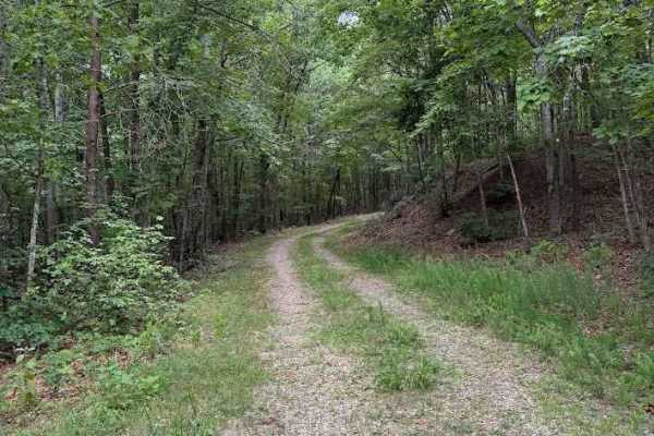
Bear Tolley, designated as FS 36E, is a seasonally open route with access from April 1 through January 10. The trail begins with an easy, well‑maintained gravel surface for the first mile, offering smooth travel and minimal vegetation overgrowth.
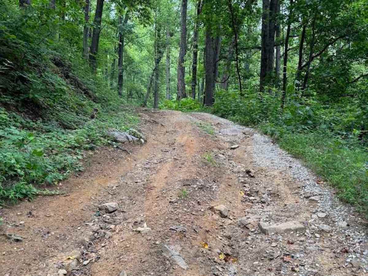
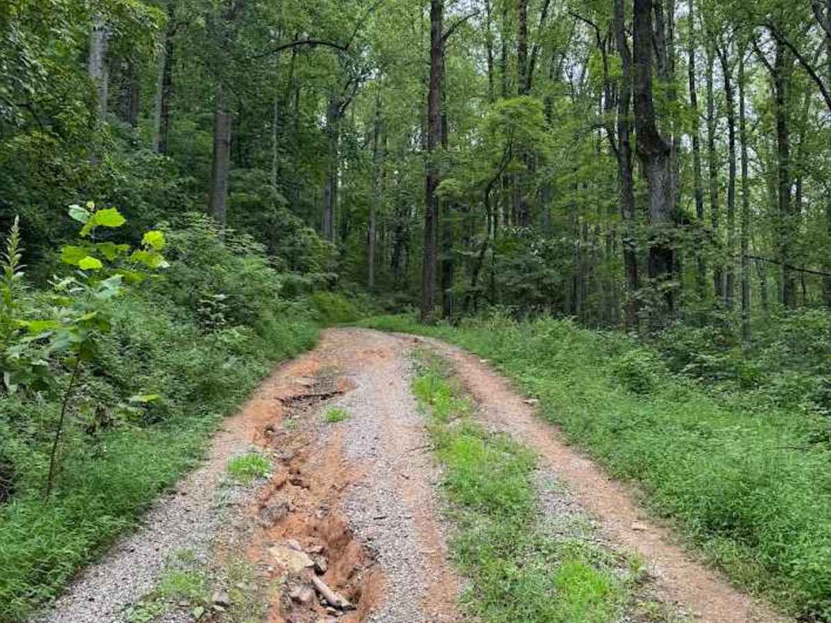
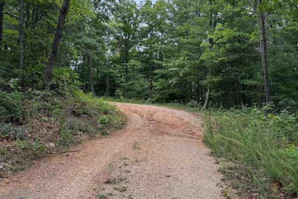
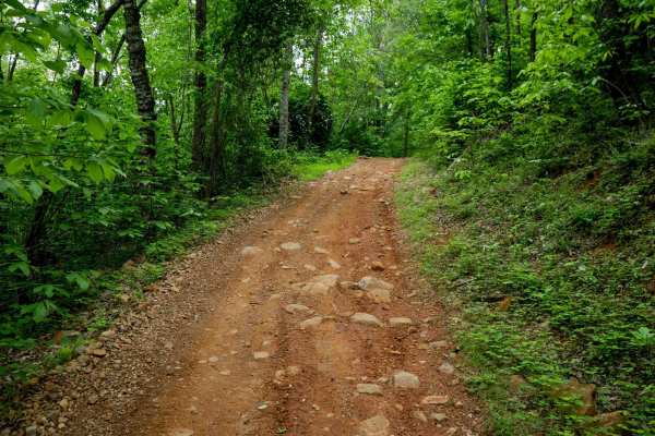
Beyond this initial section, the road becomes more challenging. For the next 1 to 1.5 miles, loose rocks and small ruts increase the difficulty to a rating of 2. Near mile 2.4, the trail steepens, and the ruts deepen noticeably, raising the difficulty to a 3. At certain times of the year, the U.S. Forest Service may smooth these ruts, which can reduce the difficulty back to a 2.
Despite what maps may suggest, the trail does not connect to other routes; it ends at a gate. Camping opportunities are plentiful throughout the trail, with numerous suitable dispersed sites along the way.