Trail Overview
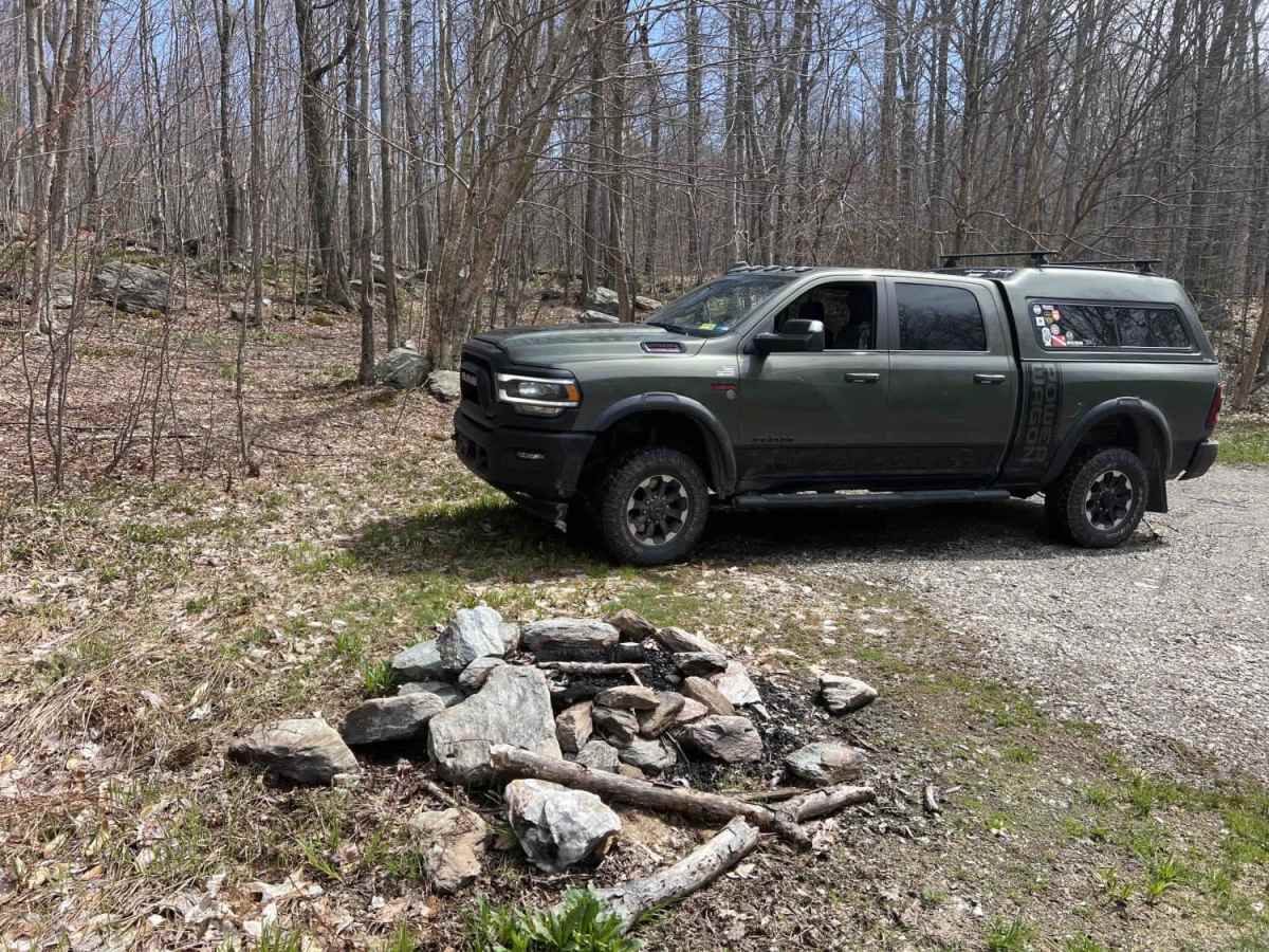
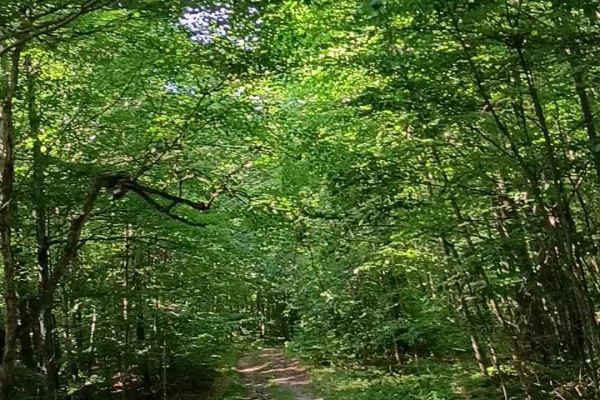
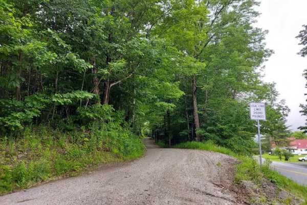
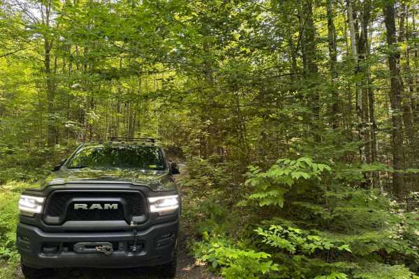
Patterson Brook Road Fire Service 50 is an easy, scenic 5.2-mile out-and-back route bordering Vermont's Bread Loaf Wilderness, ideal for beginners, overlanders, and campers looking for remote, off-grid campsites. Spanning a well-maintained forest service road (FR 50) in the Green Mountain National Forest, this route features an unpaved surface crossing pristine mountain streams. Ascending from an elevation of 1,043 feet near the town of Granville up to 1,868 feet, the trail offers a gradual climb with a total elevation gain of over 1,000 feet. Most stock SUVs and high-clearance vehicles can easily navigate the trail under dry conditions, making it highly accessible for those looking to explore the wilderness boundary or establish a basecamp for hiking and fishing.
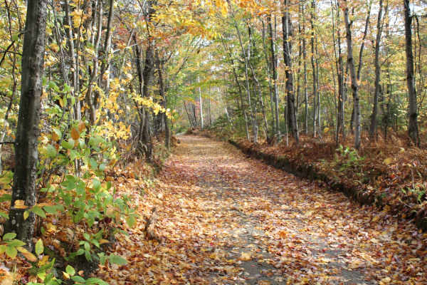
While the driving is technically straightforward with a low difficulty rating, travelers should remain alert for active logging operations that can rapidly alter road conditions and present heavy equipment traffic. Due to the dense forest canopy and remote location, windstorms occasionally block the path with fallen trees, making it wise to carry a chainsaw for clearing blowdowns. Cell service, including Verizon, is entirely unavailable throughout this corridor, so downloading offline maps and carrying recovery gear is essential before heading out. The route is best enjoyed from late spring through fall, providing spectacular autumn foliage views and immediate access to undeveloped primitive camping sites directly along the scenic Patterson Brook.
Access Description
Located within the Green Mountain National Forest, this route is free to access and does not require special permits for day use or dispersed camping. Cell service, including Verizon, is completely unavailable. Active logging occurs in the area, meaning road conditions can change quickly and heavy machinery may be present. Carrying a chainsaw is highly recommended to clear potential tree blowdowns.

 Offroad