Stock Bridge Road to Woodstock

Total Miles29.8
Technical Rating
3Easy
Best TimeSummer, Fall
Trail TypeFull-Width Road
Accessible By
Open Trail Map

Trail Overview

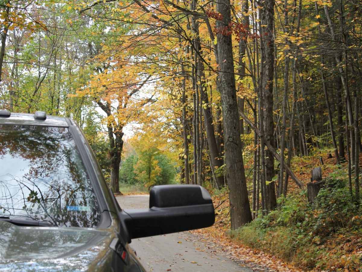
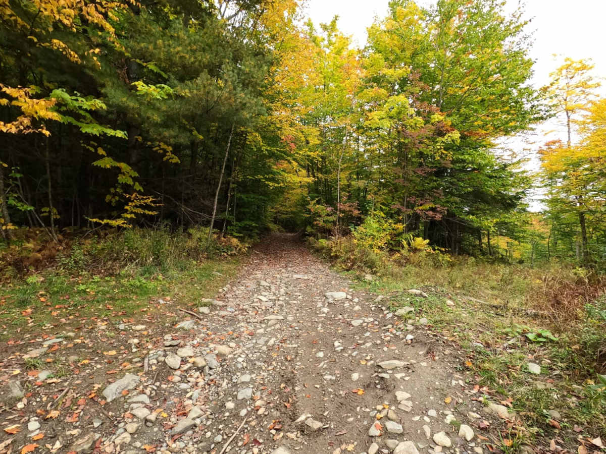
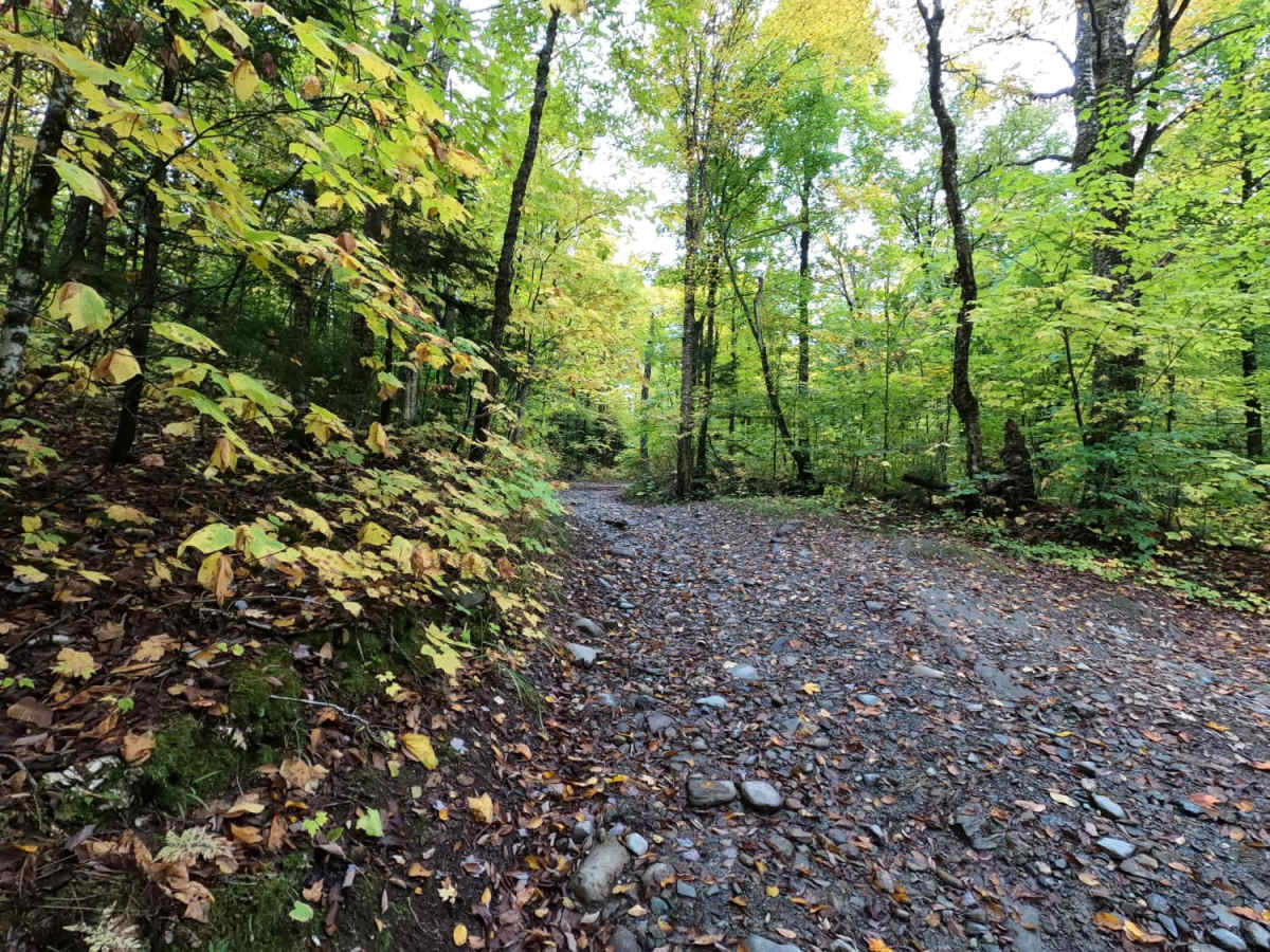
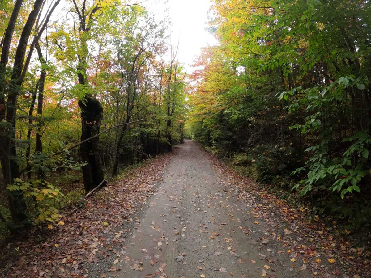
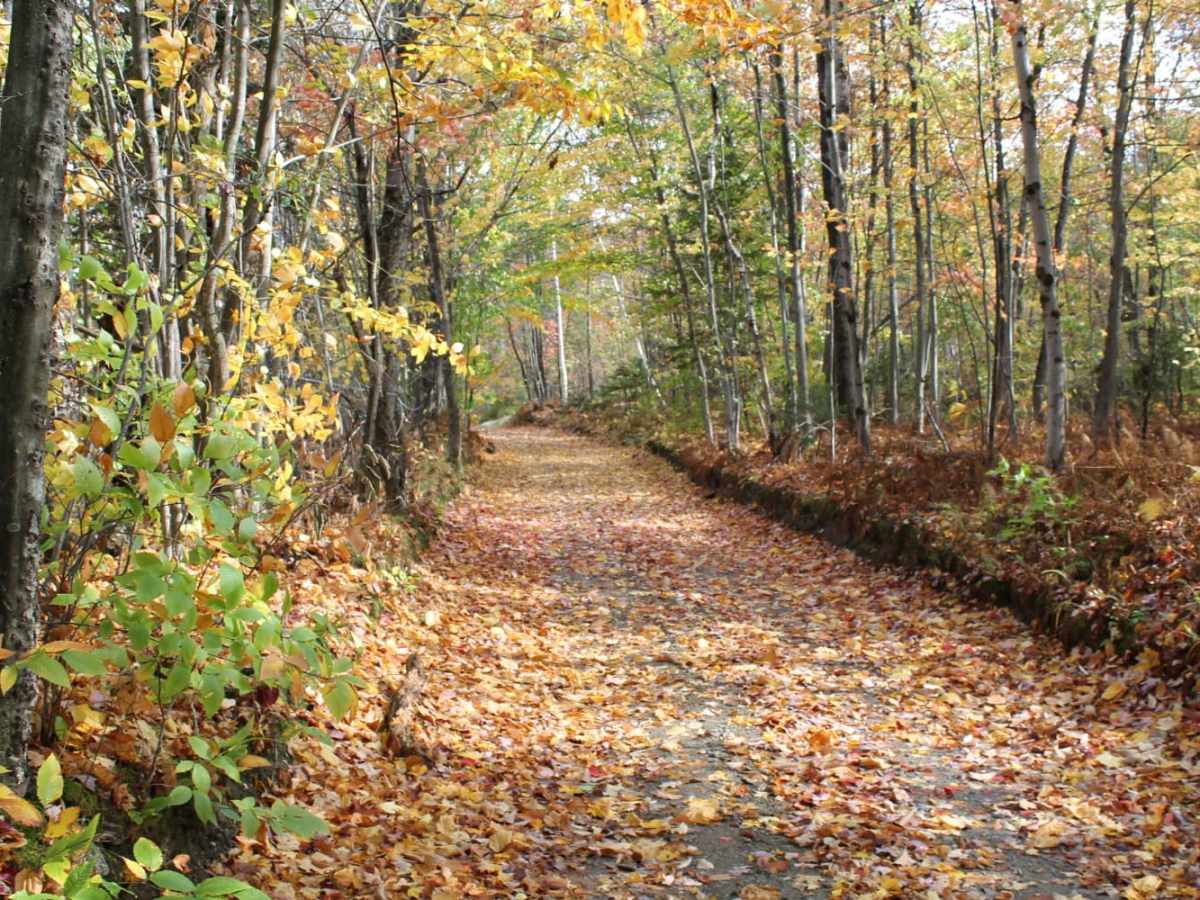
This scenic, point-to-point route from Stockbridge to Woodstock is ideal for beginner offroaders and scenic-minded travelers seeking to experience the best of central Vermont's rolling countryside. Spanning roughly 29.8 miles, the trail winds through charming rural landscapes, offering breathtaking views that are particularly spectacular during peak fall foliage. The journey starts near Stockbridge and trends southeast past Barnard and down toward Woodstock and Bridgewater, with elevations ranging from 637 feet up to 1,811 feet. Drivers will experience approximately 4,400 feet of cumulative elevation gain along the way, navigating a mix of maintained dirt and gravel country roads. With a technical difficulty rating of 3 out of 10, the route is highly accessible but features short, unmaintained Class 4 sections that introduce minor obstacles and varied terrain. High-clearance four-wheel-drive vehicles will handle the route easily under dry conditions, though spring thaw brings deep mud that can significantly increase the driving challenge. Because these are active farm roads, travelers should remain alert for slow-moving farm equipment and dairy cattle along the path. The route can also be seamlessly connected to other dirt tracks in the area, making it an excellent option for a longer overland trip through the state.

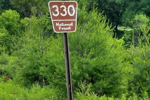
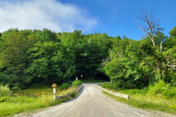
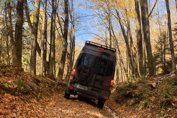
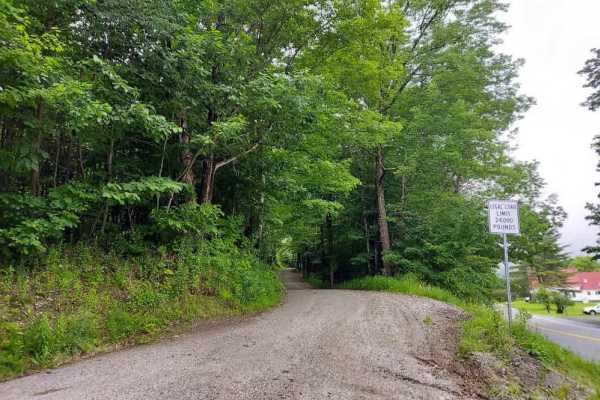
Photos of Stock Bridge Road to Woodstock

Difficulty

These are farm roads. Be careful in the spring because they can get very muddy.

Technical Rating

3

Status Reports

Add Status Report
Eric Backstrom
May 29, 2026
2021 GMC Canyon
Open
Normal
Open to wheeled vehicles at Woodstock trail head parking lot
Dave Nutter
Apr 25, 2026
2024 Toyota Tacoma
Temporarily Closed
Closed Gate
Closed gate at Woodstock Aqueduct parking lot
Wandering Waldo
Apr 09, 2026
2019 Toyota RAV4 Hybrid
Obstructed
Downed Tree
Several downed trees just past Gaysville on town highway 15 (Mount Hinger Road). Otherwise, just a bit of mud and very little washout. Easily traversable in just a compact suv.
Jason Abrams
Sep 26, 2025
Open
NormalDustyMuddy/Wet
K B
Sep 21, 2025
Open
Normal
John C
Jul 06, 2025
Open
NormalMuddy/Wet
Mostly clear well maintained class 4 gravel roads. Easy ride. A couple spots with fun semi rough and wet terrain (not for low clearance vehicles). Saw a few mountain bikers at the south end other than that quiet road.
Samuel weber
May 03, 2025
Open
Normal
Michael Broyles
Oct 18, 2024
Open
Muddy/WetWashboard
Rating is pretty accurate, but be careful after or before the reservoir depending which direction you come, had some good rain and it’s pretty deep and muddy in some spots, but a stock Gladiator made it through just fine.
Ethan Barsczewski
Oct 10, 2024
Open
NormalMuddy/Wet
Trail bridge is closed in gaysville that we re routed around. Other then that we had an easy time even just using 2wd for most of the trail except for 4wd on the muddy ledges. We met one other 4x4 on a hard place to pass but we made it work. Nice trail with many different views of Vermont.
Eirikr GX470
Sep 28, 2024
2004 Lexus GX
Open
We did Woodstock to Stockbridge and it took approx 3hrs. The first half was easy and a great drive. The second half had some very rocky parts that required 4L in 1st gear. No big deal you just have to go slow so know that going in, it'll take perhaps longer than you anticipate. Some fairly muddy spots but this was a day after some pretty decent rain. A nice mix of beautiful Vermont paved roads, farmland back roads, and unmaintained roads. Great route, highly recommend.
Justin Dudley
Sep 19, 2024
Open
Josué Rojas
Sep 15, 2024
2016 Toyota Tacoma
Open
Normal
Chase Ingersoll
Aug 31, 2024
2019 Toyota Tacoma
Open
Muddy/WetRough/Deteriorated
Will fence
Aug 26, 2024
Open
Muddy/WetRough/Deteriorated
Fun trail with a mix of paved, gravel, and dirt. Due to recent rain there is some muddy sections and much of the trail is reduced to rocky single tracks.
Andrew Rockey
Jun 22, 2024
Open
Normal
trails relatively dry and open. a great trail to run.

Stock Bridge Road to Woodstock Trail can be accessed by the following ride types:

  • High Clearance
  • Full Width

Access Description

This route utilizes public town roads and unmaintained Class 4 highways. While open to public vehicles, Class 4 sections are not maintained during winter or spring mud season, making them highly susceptible to deep mud and washouts. Travelers must yield to farm equipment and dairy cattle, and respect private property bordering the roadway.

Stock Bridge Road to Woodstock Map

The onX Offroad Difference

onX Offroad combines trail photos, descriptions, difficulty ratings, width restrictions, seasonality, and more in a user-friendly interface. Available on all devices, with offline access and full compatibility with CarPlay and Android Auto. Discover what you're missing today!

Open Trail Map