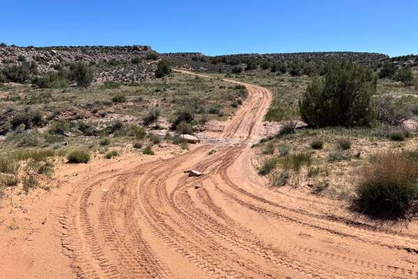
Trail Overview
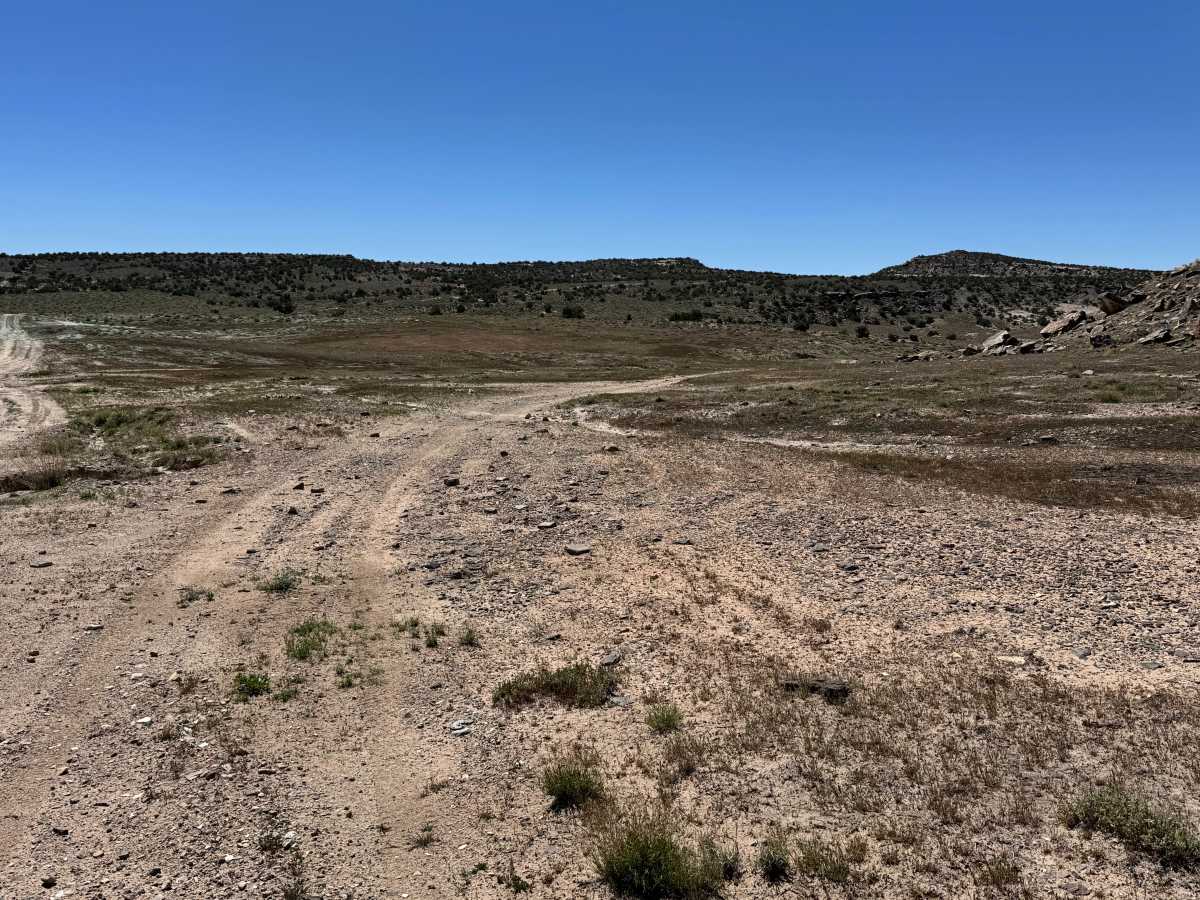
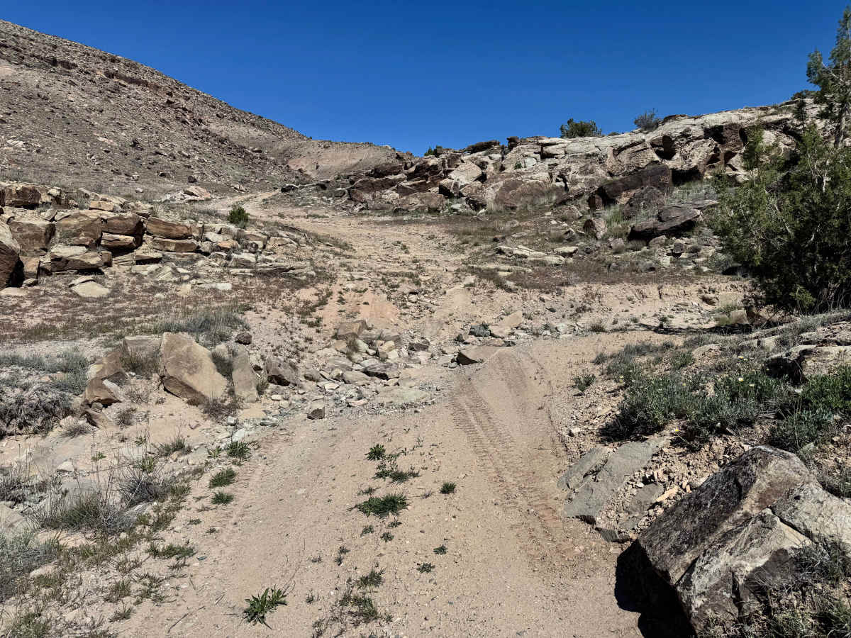
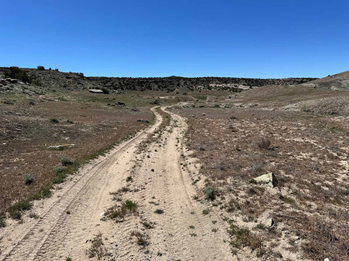
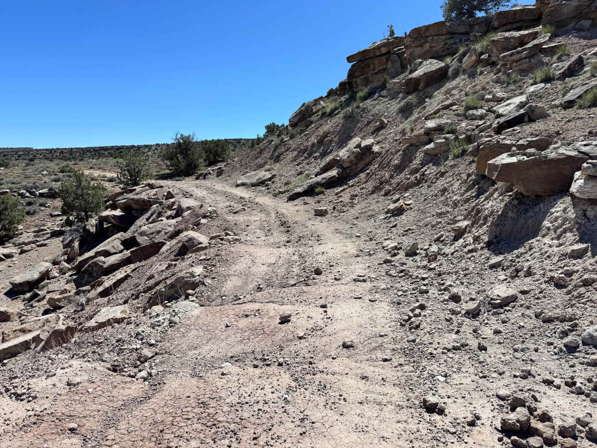
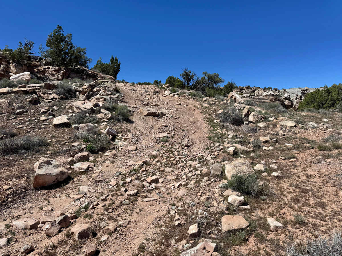
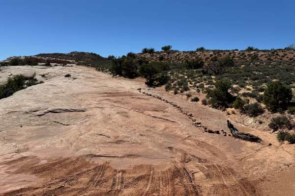
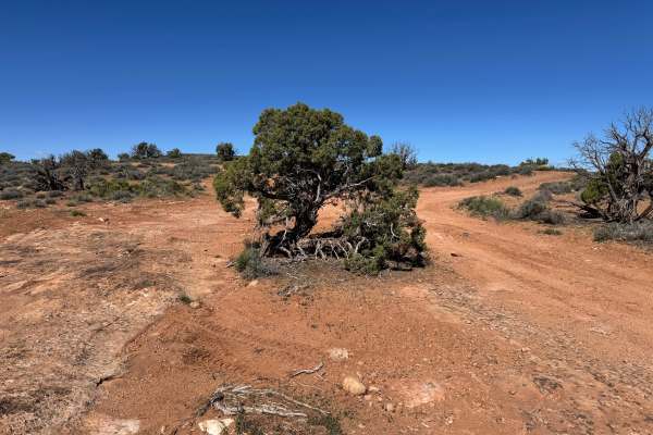
Non-Resident OHV permits apply to ATVs, UTVs, and dirt bikes. Plated street-legal vehicles typically do not need one on legal motorized routes. This route travels through open desert terrain with a mix of sandy soil, scattered rock, and uneven sections that keep the drive interesting without being overly technical. One end of the trail features a steeper climb or descent, depending on your direction of travel, requiring careful throttle control and attention to traction. Along the route, sharp-eyed travelers can spot remnants of uranium mineralization in the surrounding rocks, visible as a subtle green hue or tint that hints at the area’s mining history. Expansive views stretch across the landscape, with the La Sal Mountains often visible in the distance, their snow-capped peaks rising above the red rock country. Native Moab vegetation and wide open scenery make this a scenic and rewarding backcountry drive.
Difficulty
This route is mostly manageable for high-clearance 4WD vehicles, but the uneven rocky sections and the steeper incline/decline at one end raise the difficulty above an easy scenic road. Drivers should be comfortable with loose rock, minor ledges, and picking lines through rougher terrain. Dry conditions are ideal, while rain can increase traction challenges on climbs and descents.
History
Dome Plateau sits within a region shaped by erosion, mining history, and early backcountry travel routes outside Moab. Today, the trail system is popular with off-road travelers looking to experience classic red rock scenery beyond the busier in-town trails.