Dome Plateau

Total Miles 30.9
Technical Rating
4 Moderate
Best Time Spring, Summer, Fall, Winter
Trail Type Full-Width Road
Accessible By
Open Trail Map

Trail Overview

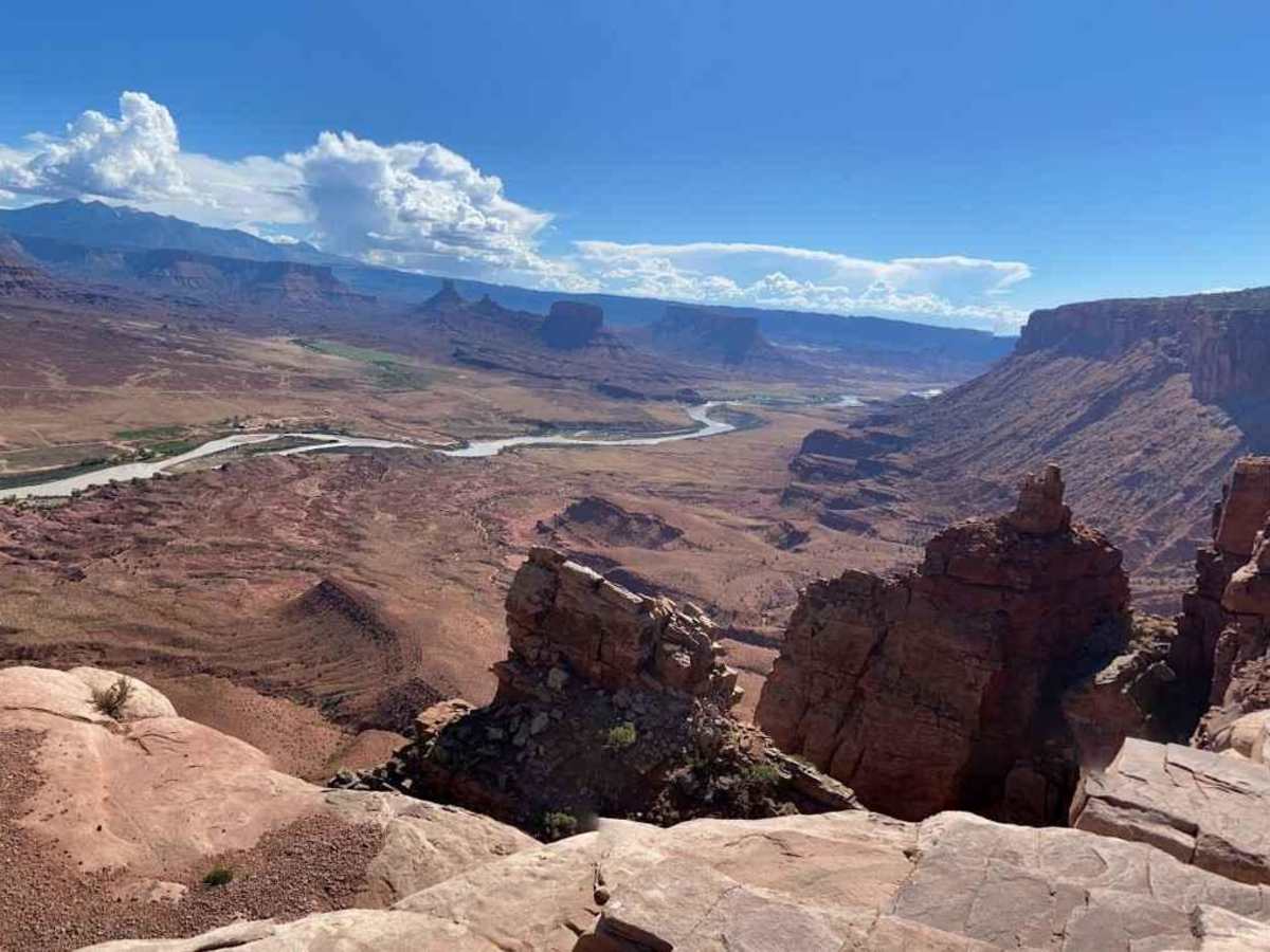
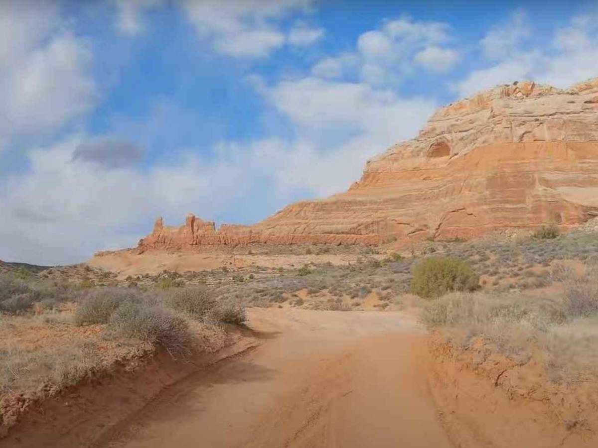
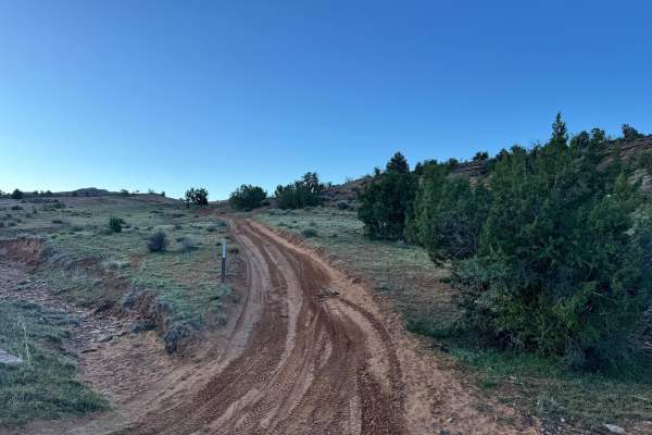
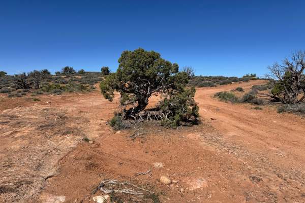
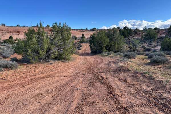
Dome Plateau-EJS is a 30.4-mile point-to-point trail rated 4 of 10 located in Emery County, Utah. Dome Plateau is a large highland area that lies to the north of the Colorado River and the east of Arches National Park. This trail has a 4 rating, and the first part is the most challenging, calling for careful driving and line-choosing during the ascent to the top of the plateau. A high-clearance vehicle is required for this trail. This trail has dramatic scenery, including arches, overlooks, cathedral-sized caves with soaring roofs, and even old mining camps with almost intact cabins. The Entrada Sandstone Cliffs have three noteworthy arches, including the La Boca Arch and sandstone caves. From the overlooking cliffs, exceptional views of the Colorado River are 1,700 feet below. The main notable obstacle on the Dome Plateau trail is Again-and-Again Hill, mostly loose rock and rocky ledges. The rest of the trail offers easy four-wheeling with stunning scenery. The trail is mostly dirt, and the eastern part is sandy, rocky, and bumpy. The northern and western areas have silty dirt that becomes impassable when wet. There is no cell phone service in the area. The nearest services are in Moab.

Photos of Dome Plateau

Difficulty

The trail consists of loose rock, dirt, and sand with some slickrock surfaces. There is some erosion, as well as washes, gulches, and rock steps no higher than 18 inches. Tall tires (33 inches or greater) and limited slip are a plus. 4WD is required. Enhanced suspension travel and good ground clearance are helpful. Good driving skills are also a plus.

Technical Rating

4

Status Reports

Add Status Report
Chris
Oct 26, 2025
Open
The trail was in decent shape. There are some small ledges and lots of sandy patches. We encountered a few mid puddles, but nothing that was impassable. We only saw a few other people out, including one stock F150 at the arch. It seemed to have taken some bumper damage on the La Boca Ledge obstacle. There were no SxS out there. The view from the end of the southwest spur is worth the trip all by itself. We did Owl Draw on the way out. That is much more secluded and deteriorated two track. There is a significant ledge obstacle to go down if heading east. We had 2 4Runners on 33's, a stock TJ on 31s, and 2 4 door Jeep JLs on 37s.
Justin Yersak
Jul 23, 2025
Open
Trail was in great shape and all paths were open. This was by far one of our favorite trails. It has a bit of everything, arches, wide open desert, cliff/canyon climbing, and near the end if you take Dome Plateau to Kokopelli trail the way back, it has a great view of the river. The trail goes from moderate to easier at multiple times. There is one ledge near the arch that I would say is about 2 feet in sections, but easily doable with 33s. Great view of the plateaus from the overlook. Heading down the opposite side trail to Kokopelli to the main road does have some technical spots and is slow moving, but the view is well worth it.
Ashley Cook
May 31, 2025
Open
Steve B
May 24, 2025
Open
Did see one small Diamond Back Rattlesnake near one of the abandoned mines near yellowcat.
Daniel Anderson
Apr 26, 2025
Open
Lucas Gomez
Apr 23, 2025
Open
Reagan Masuda
Feb 08, 2025
Open
Camped halfway through the trail for the night. Regular trail conditions. Dust was actually very light and didn’t kick much up at all.
Kristian Brown
Nov 22, 2024
Open
Brian Johnson
Nov 22, 2024
Open
Jennifer Rider
Oct 26, 2024
Open
Anthony
Oct 12, 2024
Open
Kristian Brown
Sep 02, 2024
Open
Andy Kachelmeier
Aug 02, 2024
Open
Jeff and Laura Bomer
May 20, 2024
Open
Great trail with amazing views. We checked out the arch, caves and the mining area.
Nelson Kent
Apr 14, 2024
Open
Mostly sand roads with a few steep obstacles. Great views with cool caves, arches, and old mining cabins. Not very busy and had the trail to ourselves most of the day.

Dome Plateau Trail can be accessed by the following ride types:

  • Single Track
  • 50 Inch
  • 60 Inch
  • High Clearance
  • Full Width

Dome Plateau Map

The onX Offroad Difference

onX Offroad combines trail photos, descriptions, difficulty ratings, width restrictions, seasonality, and more in a user-friendly interface. Available on all devices, with offline access and full compatibility with CarPlay and Android Auto. Discover what you're missing today!

Open Trail Map