BLM Route 107

Total Miles12.6
Technical Rating
2Easy
Best TimeSummer, Fall, Spring
Trail TypeFull-Width Road
Accessible By
Open Trail Map

Trail Overview

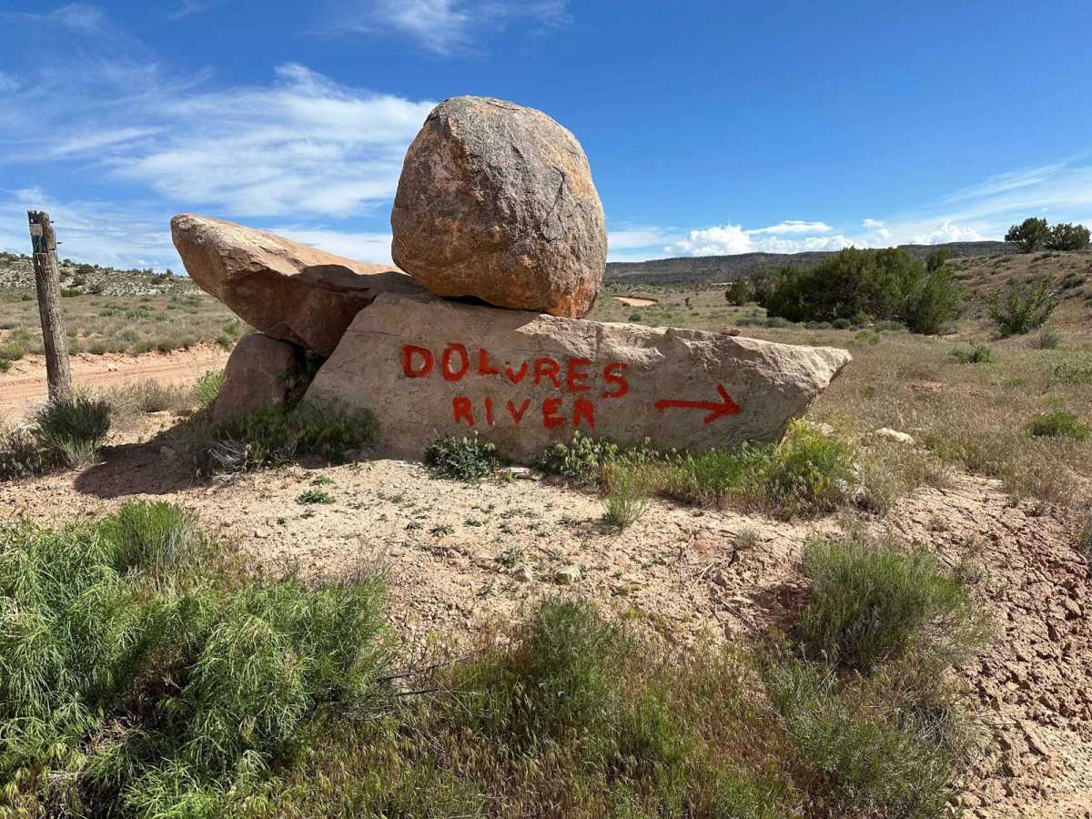
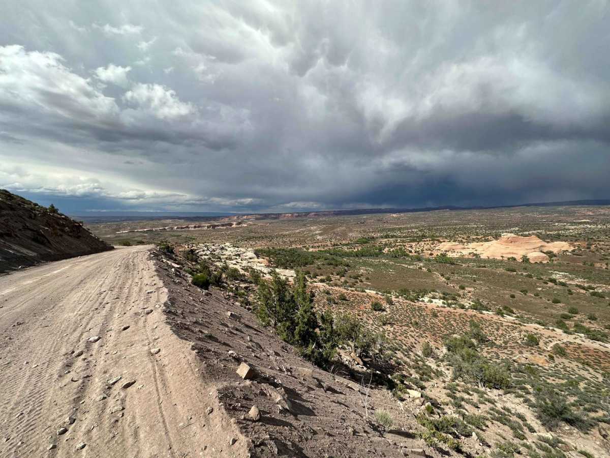
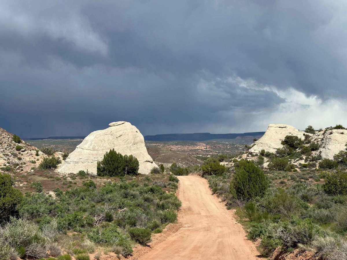
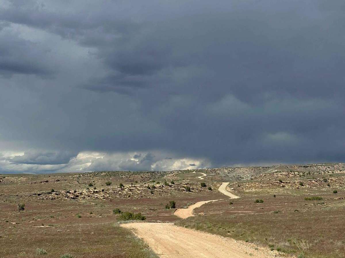
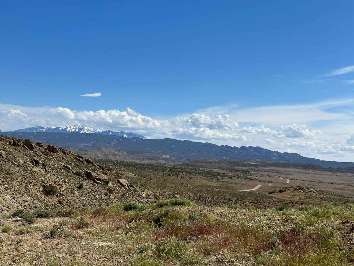
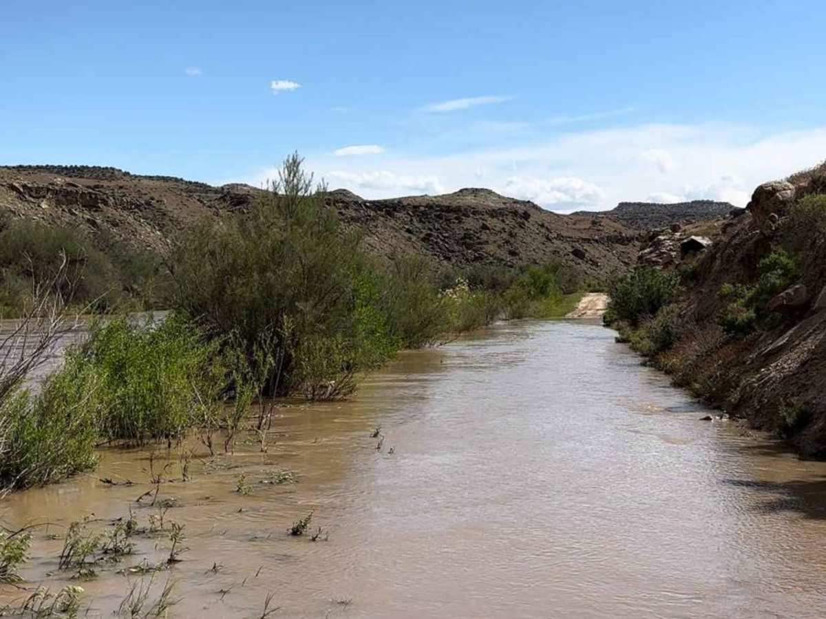
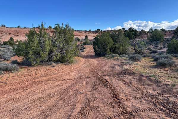
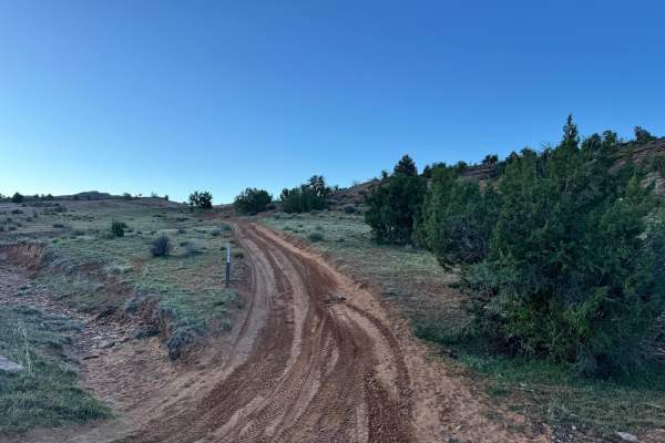
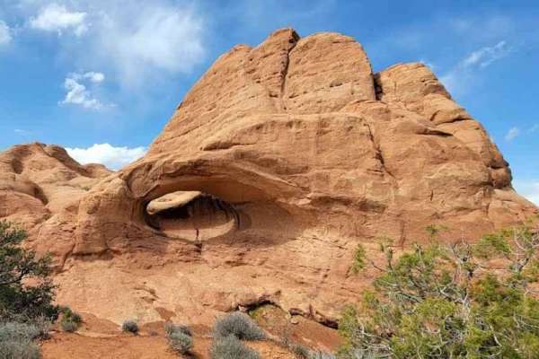
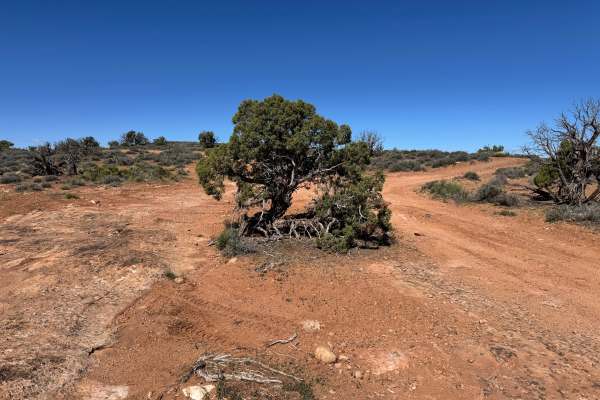
Enjoy a scenic and easy journey on this trail as you traverse between Buckhorn and Hotel Mesa, with stunning views all around. However, keep in mind that while the north end of the trail is very easy with little to no obstacles, the southern end near the Dolores River may be prone to flooding during high water levels. As you approach the end of the trail near BLM Route 105, you'll encounter a river crossing that requires a high-clearance 4x4 vehicle. It's important to attempt this crossing only when the river water levels are low, to ensure a safe and successful journey.

Photos of BLM Route 107

Difficulty

Although the majority of this trail is easy, the river crossing should only be attempted by High Clearance 4x4s.

Technical Rating

2

Status Reports

Add Status Report
Merrit Crum
Nov 02, 2024
2003 Chevrolet S-10
Open
Normal
This road (at least from the intersection with buckhorn draw) is very easy and seems well traveled. Be warned though, the Delores river crossing is not passible in most average stock height SUV’s. We did the crossing in early November when it was fairly low and it was at least 30” deep. The wake splashed over the hood of a 1st gen 4Runner in our group. DO NOT attempt in your typical crossover or stock SUV that a lot of people would bring on a 2-3 rated trail.

BLM Route 107 Trail can be accessed by the following ride types:

  • Single Track
  • 50 Inch
  • 60 Inch
  • High Clearance
  • Full Width

BLM Route 107 Map

The onX Offroad Difference

onX Offroad combines trail photos, descriptions, difficulty ratings, width restrictions, seasonality, and more in a user-friendly interface. Available on all devices, with offline access and full compatibility with CarPlay and Android Auto. Discover what you're missing today!

Open Trail Map