Trail Overview
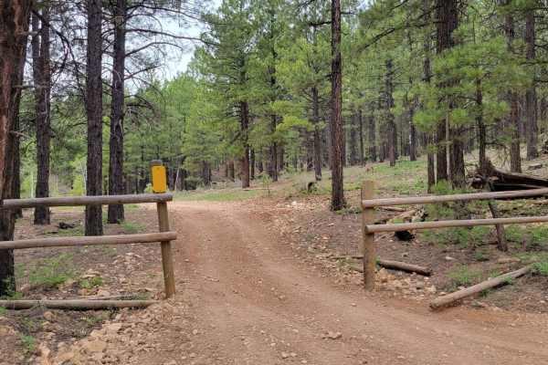
Uinta Loop 3 (Trail #45 of the Markagunt OHV System) is a narrow 1.1-mile side trail winding through the high-elevation pine forests of the Markagunt Plateau. Situated between 8,215 and 8,357 feet, this technical route features tight clearances and is limited to ATVs, UTVs, and dirt bikes.
The trail has a technical rating of 4 due to deep erosion ruts, large rocky sections, and occasional fallen timber. It descends 142 feet, serving as an engaging connection within the broader OHV network. Full-sized vehicles are not permitted due to the narrow trail width.
Access Description
Managed by the Dixie National Forest as part of the Markagunt OHV System, this trail requires a valid Utah OHV permit. The route is restricted to side-by-sides, ATVs, and dirt bikes, and is completely closed to full-sized vehicles due to its narrow width. Seasonal closures are common from late fall through late spring due to heavy snow and muddy trail conditions on the high-elevation plateau.