Tommy Loop Connector

Total Miles1.2
Technical Rating
2Easy
Best TimeFall, Summer
Trail Type60" Trail
Accessible By
Open Trail Map

Trail Overview

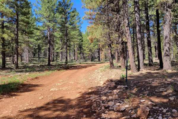
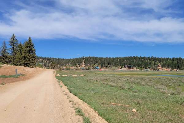
The Tommy Loop Connector (Trail #4 of the Markagunt OHV System) is a 1.2-mile dirt trail in Dixie National Forest linking the Tommy Loop and the Markagunt Plateau trail network. Restricted to SxS and smaller off-road vehicles, the route climbs gently from 8,234 feet to 8,402 feet through a forest of pine and juniper. With a technical rating of 2 out of 10, the trail features minor erosion ruts and loose rocky sections. Several sharp curves create blind corners with oncoming traffic. The route is accessible from Mammoth Creek Road or Old Highway and is best traveled from late spring through autumn.

Photos of Tommy Loop Connector

Difficulty

There are some small erosion spots (ruts) and a few loose rocky sections throughout the trail.

Technical Rating

2

Status Reports

Add Status Report
Dan B
Jun 05, 2023
Open
Normal

Tommy Loop Connector Trail can be accessed by the following ride types:

  • Single Track
  • 50 Inch
  • 60 Inch

Access Description

This trail is restricted to SxS and smaller off-road vehicles. Standard Utah OHV registration and safety requirements apply. There are no fees or permits required to access this portion of the Dixie National Forest trail system.

Tommy Loop Connector Map

The onX Offroad Difference

onX Offroad combines trail photos, descriptions, difficulty ratings, width restrictions, seasonality, and more in a user-friendly interface. Available on all devices, with offline access and full compatibility with CarPlay and Android Auto. Discover what you're missing today!

Open Trail Map