Uinta Loop 2

Total Miles1.5
Technical Rating
4Moderate
Best TimeFall, Summer
Trail Type60" Trail
Accessible By
Open Trail Map

Trail Overview

Uinta Loop 2 (Trail #45) is a 1.5-mile unpaved trail within the Markagunt OHV System. Situated between 7,854 and 8,255 feet, this route is ideal for side-by-sides and smaller off-road vehicles seeking a technical challenge. Traveling west from the Uinta Flat intersection, the trail features deep erosion ruts and large rocky sections requiring high clearance and precise tire placement. The primary obstacle is a short, steep hill climb near the western end. This trail has a technical rating of 4 and connects with the Ponderosa Loop to the west. It is best ridden from late spring through autumn and easily integrates into larger loops across the Markagunt Plateau.

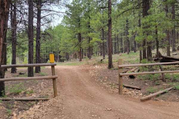
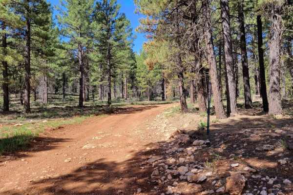
Photos of Uinta Loop 2

Difficulty

There are some deep erosion spots (ruts) and large rocky sections throughout the trail, as well as a short but fairly steep hill towards the (West) end of the trail.

Technical Rating

4

Uinta Loop 2 Trail can be accessed by the following ride types:

  • Single Track
  • 50 Inch
  • 60 Inch

Uinta Loop 2 Map

The onX Offroad Difference

onX Offroad combines trail photos, descriptions, difficulty ratings, width restrictions, seasonality, and more in a user-friendly interface. Available on all devices, with offline access and full compatibility with CarPlay and Android Auto. Discover what you're missing today!

Open Trail Map