Trail Overview
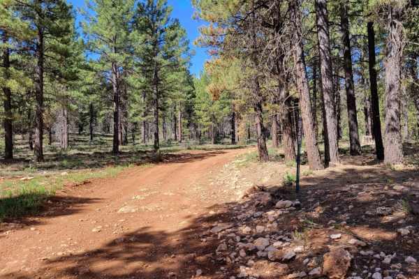
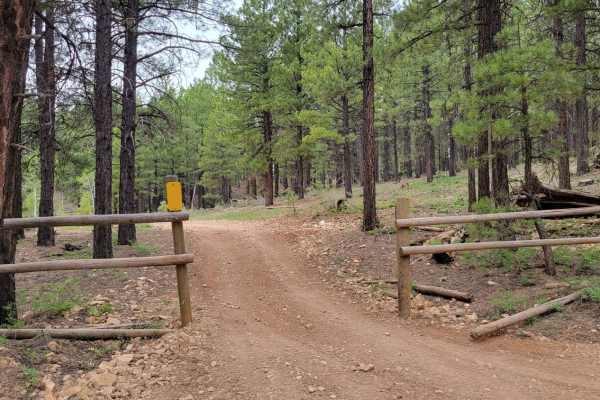
Uinta Loop 1 is a 1.2-mile side trail on the Markagunt Plateau within the Dixie National Forest. Running through dense ponderosa pines at elevations between 7,850 and 8,080 feet, this dirt trail is designed for side-by-sides and smaller OHVs, and is unsuitable for full-sized vehicles due to narrow clearances.
With a technical rating of 4, the route features uneven terrain, deep erosion ruts, and loose, rocky sections requiring careful tire placement and moderate ground clearance. Part of the Markagunt OHV System, it serves as a technical connector to nearby trails. The route is best ridden late spring through autumn.
Access Description
A Utah OHV registration or non-resident permit is required to ride on the Dixie National Forest trail system. Vehicles must stay on designated trails, and spark arrestors are required. The trail is subject to seasonal closures during the winter and early spring months.