Trout Creek Peak to Lost Park - FS 55

Total Miles1.6
Technical Rating
4Moderate
Best TimeSpring, Summer, Fall
Trail TypeFull-Width Road
Accessible By
Open Trail Map

Trail Overview

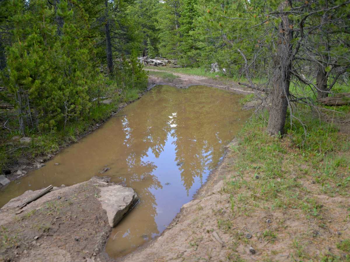
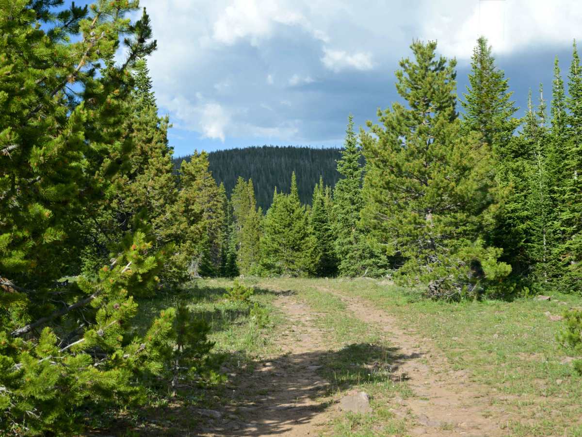
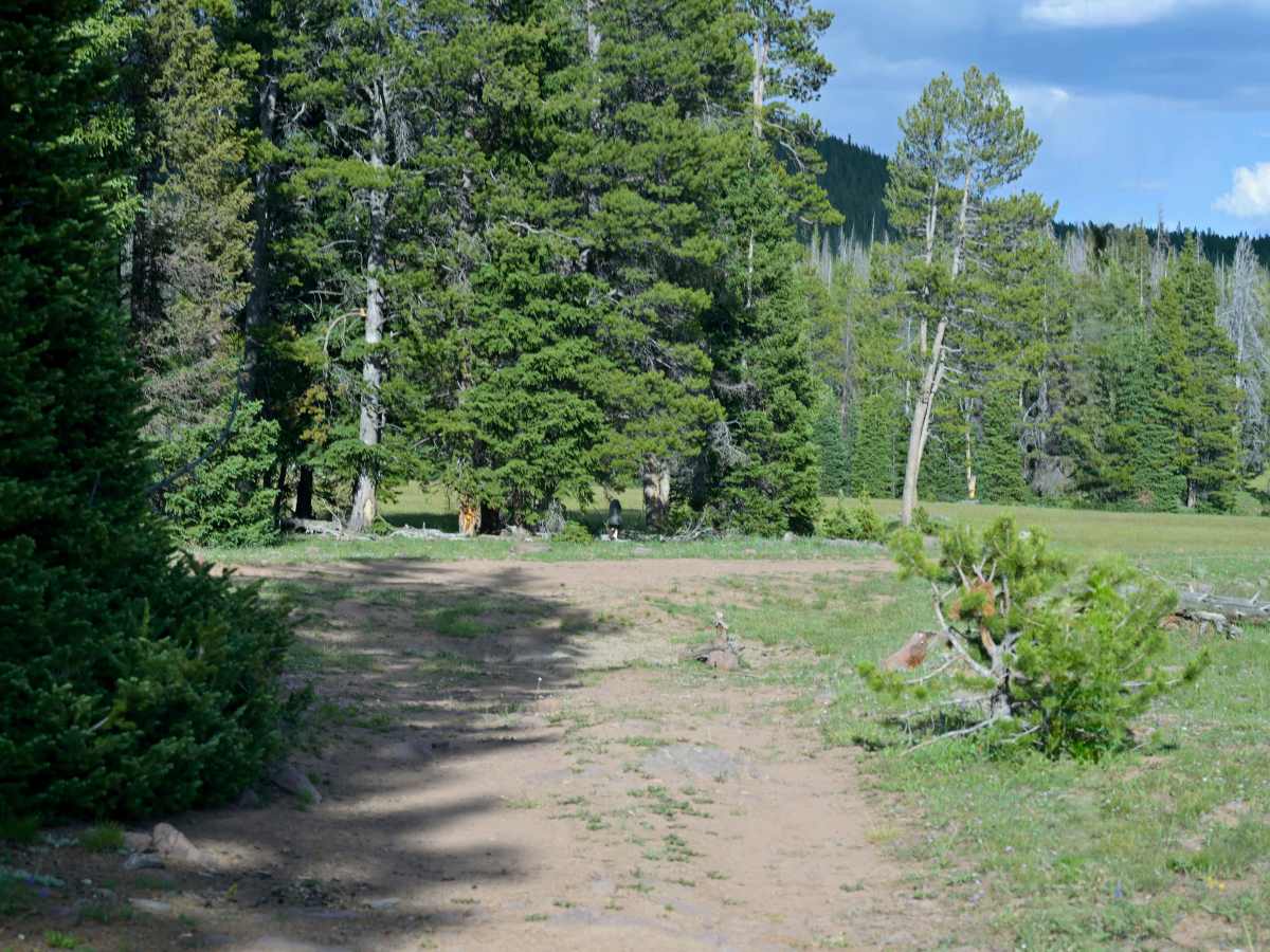
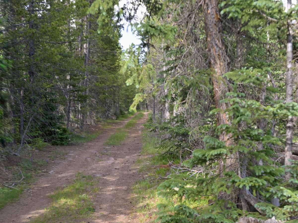
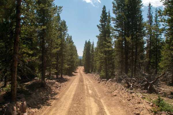
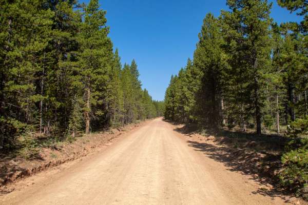
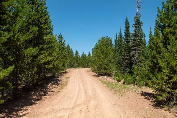
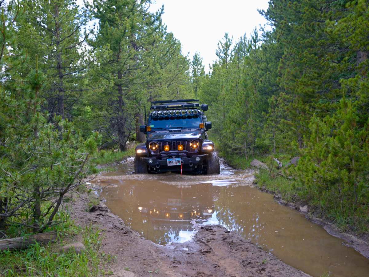
Trout Creek Peak to Lost Park (FS 55) is a point-to-point trail in Ashley National Forest with a 4/10 difficulty rating. It’s a low-use route that can be tricky for larger vehicles, thanks to tight squeezes between trees and no bypasses for obstacles. The terrain is mostly rock and dirt, with the occasional water or mud challenge to keep things interesting.

Photos of Trout Creek Peak to Lost Park - FS 55

Difficulty

This trail is one lane wide with little to no room for passing. Water and mud holes can be more than 18 inches deep.

Technical Rating

4

Trout Creek Peak to Lost Park - FS 55 Trail can be accessed by the following ride types:

  • Single Track
  • 50 Inch
  • 60 Inch
  • High Clearance
  • Full Width

Trout Creek Peak to Lost Park - FS 55 Map

The onX Offroad Difference

onX Offroad combines trail photos, descriptions, difficulty ratings, width restrictions, seasonality, and more in a user-friendly interface. Available on all devices, with offline access and full compatibility with CarPlay and Android Auto. Discover what you're missing today!

Open Trail Map