Trail Overview
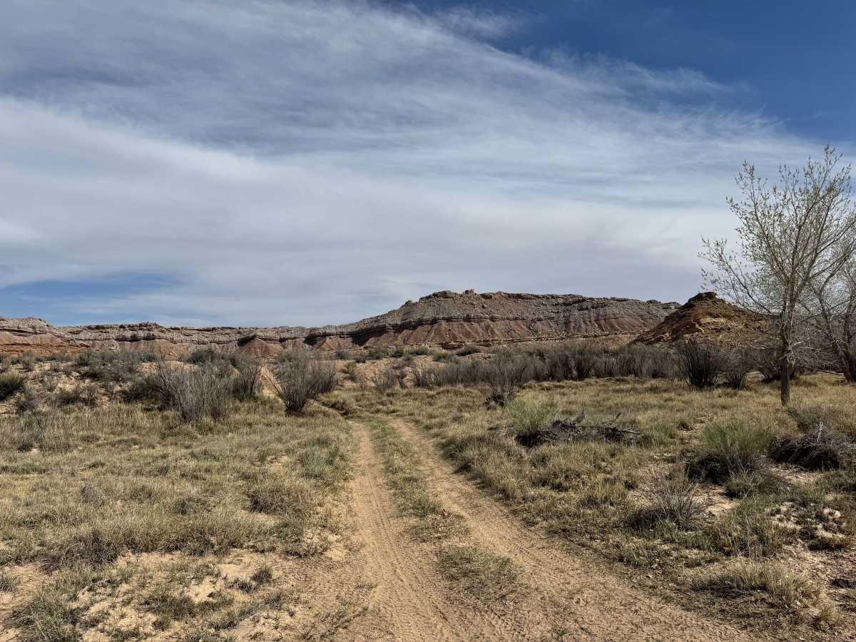
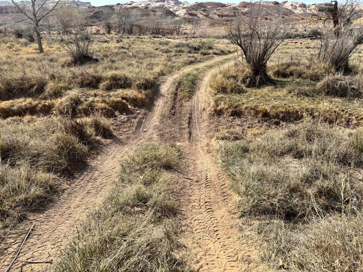
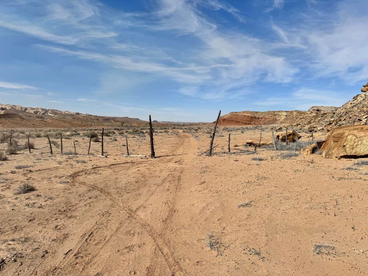
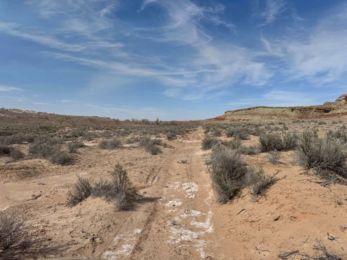
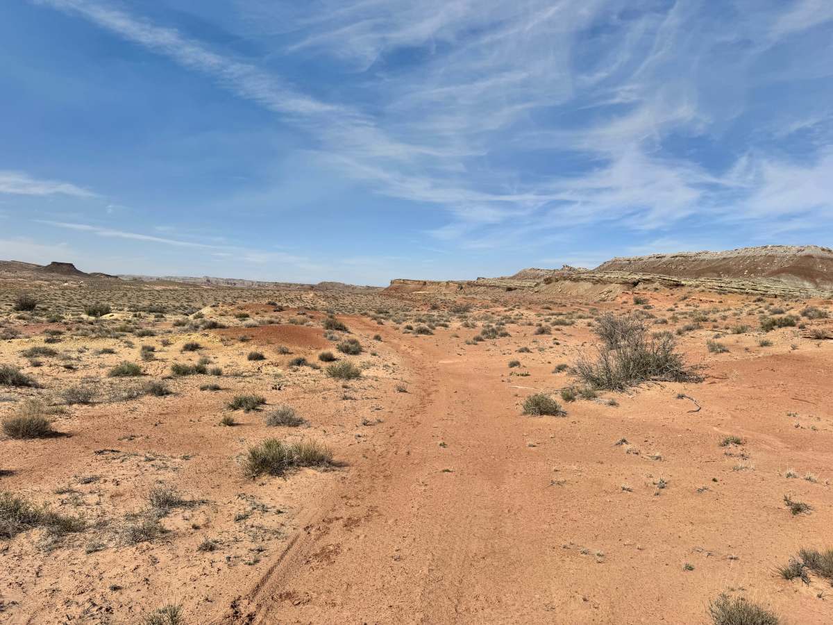
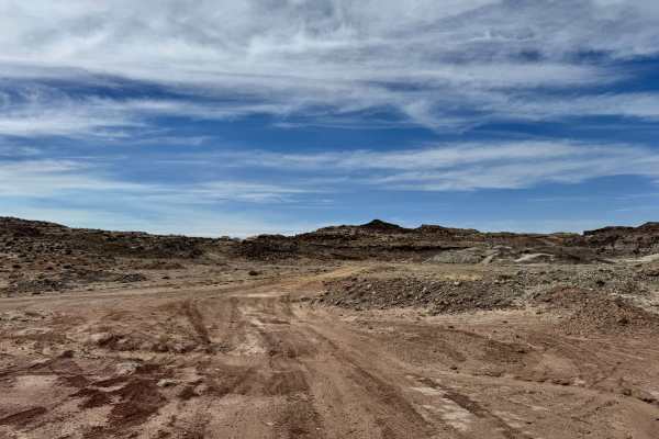
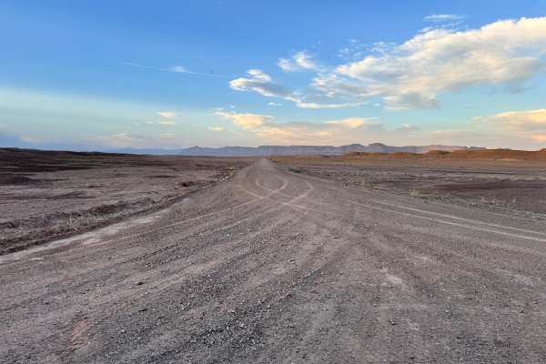
Tidwell Draw is a scenic route that offers a different perspective of the San Rafael Swell and makes an excellent addition to a larger day of exploring the area. The route provides a clearer look at the dramatic uplift of the Swell, with colorful layered cliffs, open desert views, and wide valleys stretching in every direction. While the overall difficulty is similar to nearby routes, the obstacles here are more dirt-focused with patches of sand, ruts, and loose terrain mixed with occasional rock sections. One of the highlights is driving through the large Tidwell Draw itself, where cottonwood trees add an unexpected touch of green to the desert landscape. In the middle sections, the route can become faint, easy to lose, and difficult to follow if it has not seen recent traffic, so offline maps and careful navigation are strongly recommended. The route eventually ends near the brushy, dry draw and the always flowing San Rafael River. There was no direct river access or established camping found along this route.
Difficulty
Tidwell Draw is a moderate trail with mostly dirt-based challenges, including soft sand, ruts, loose sections, and a few rocky areas. The terrain itself is not highly technical, but the route earns its rating because the trail can become faint and difficult to follow in the middle sections if it has not been recently traveled. High clearance 4x4 is recommended.
History
Tidwell Draw follows a natural drainage corridor that has long served as a travel route through this part of the Swell. Like many desert routes, it reflects the blend of natural access paths, ranch travel, and modern recreation roads that now connect the region.