Trail Overview
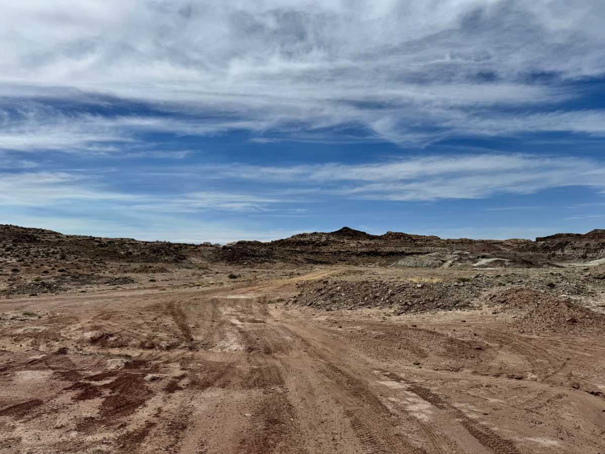
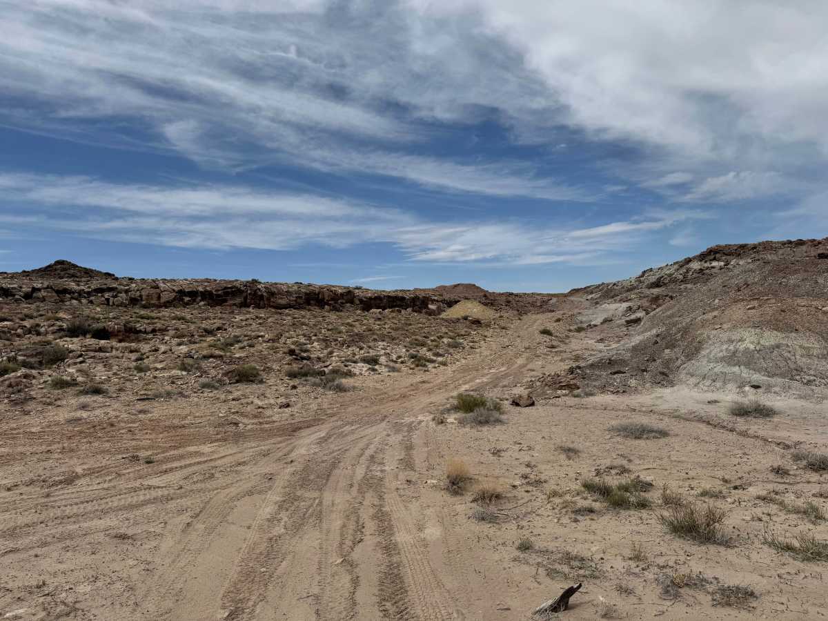
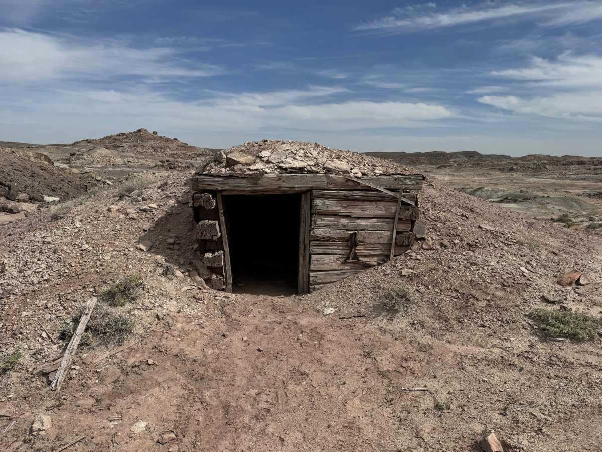
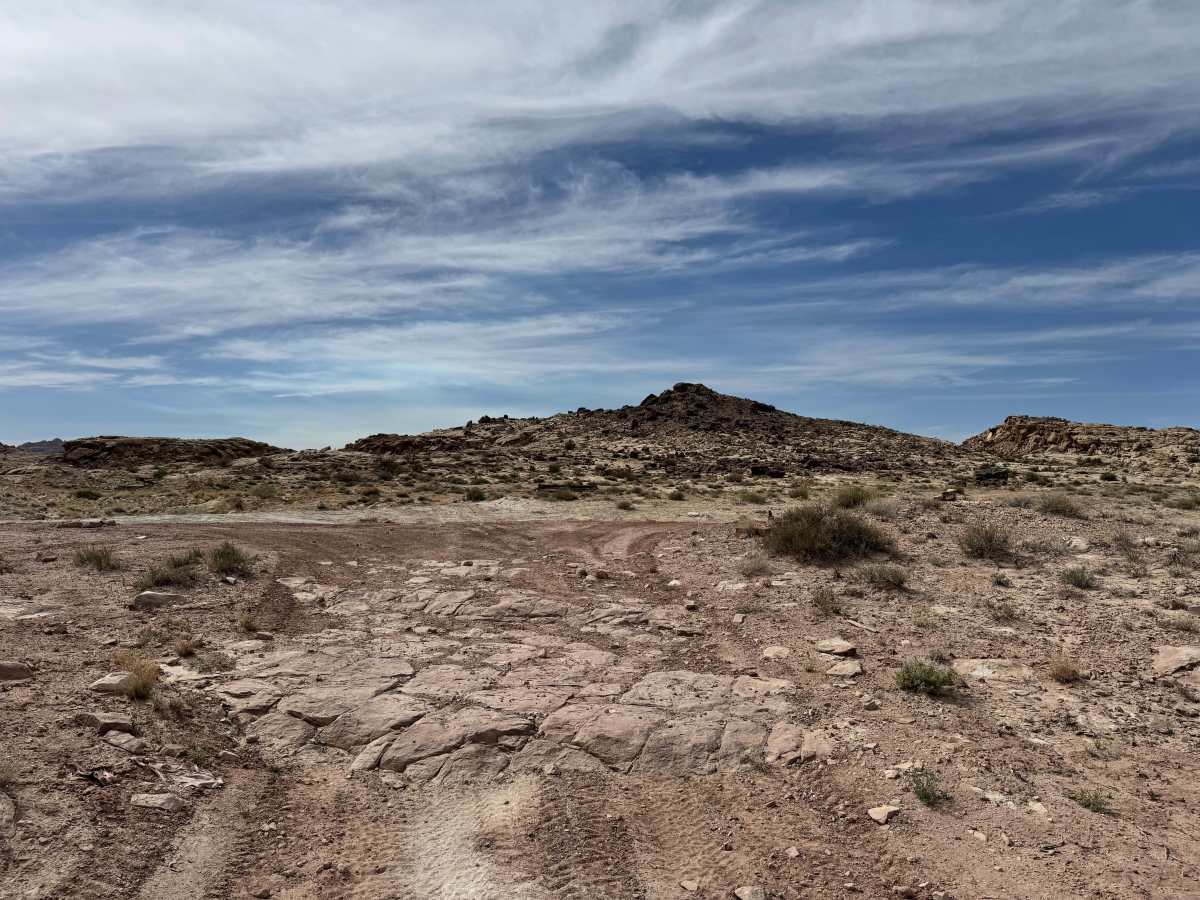
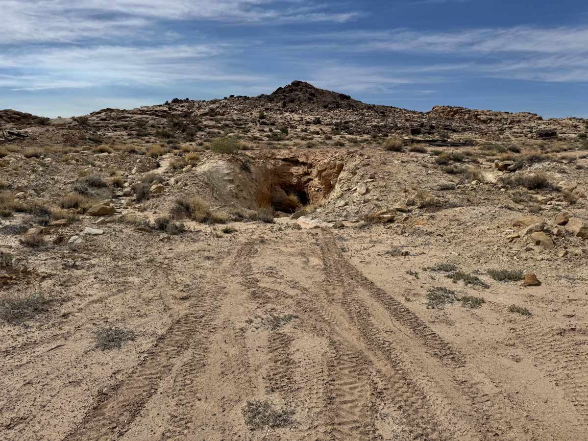
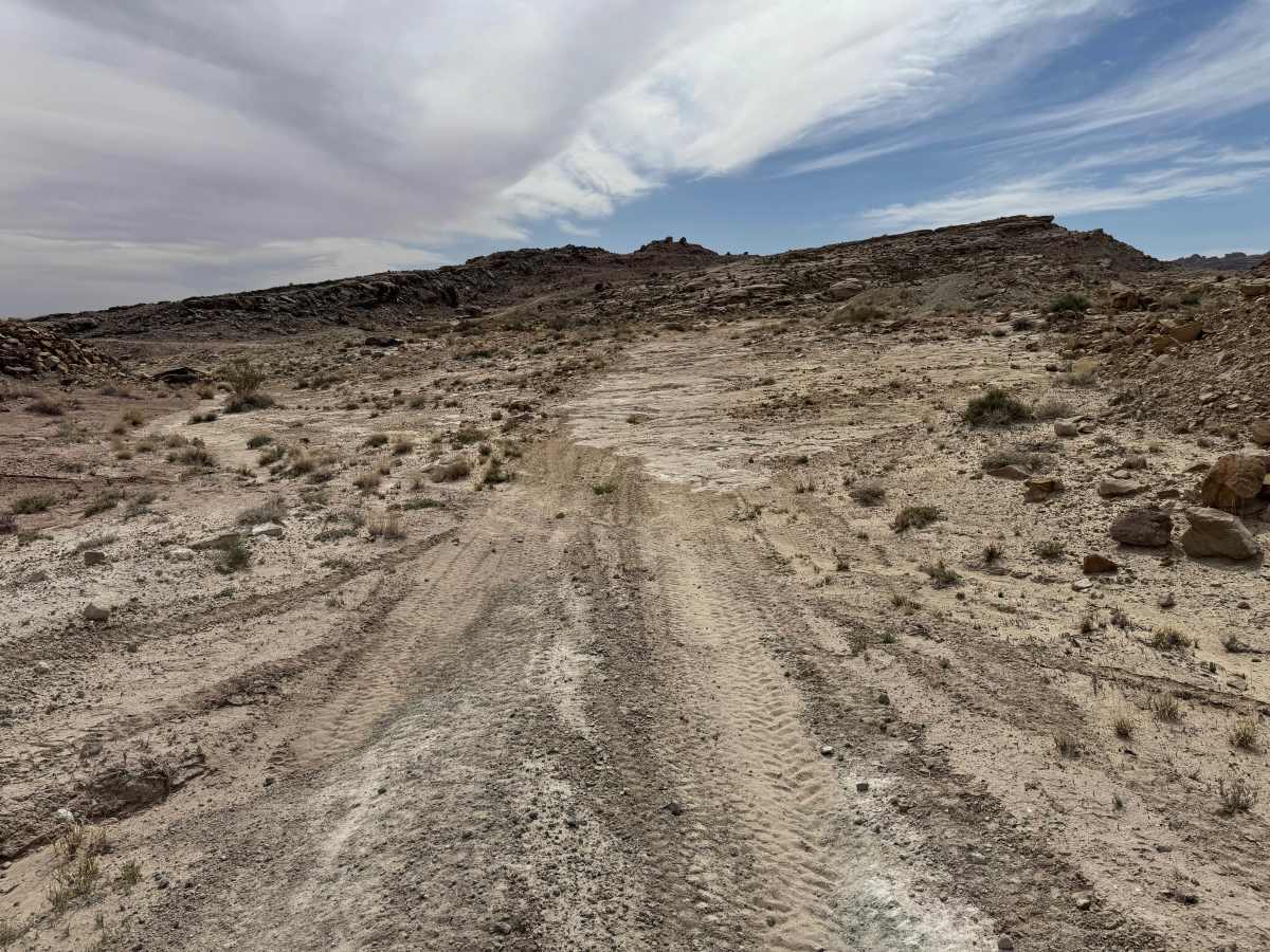
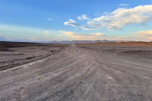
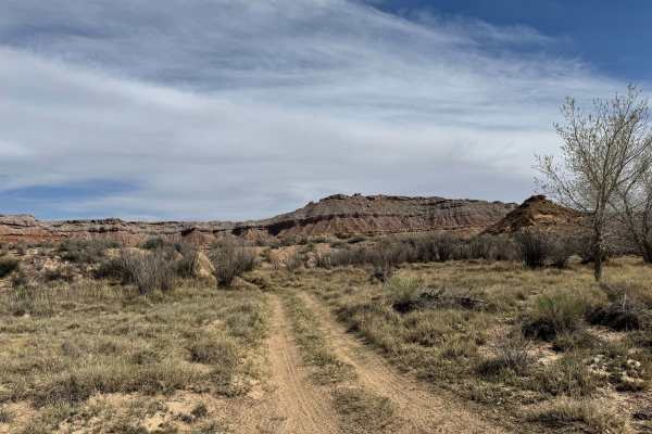
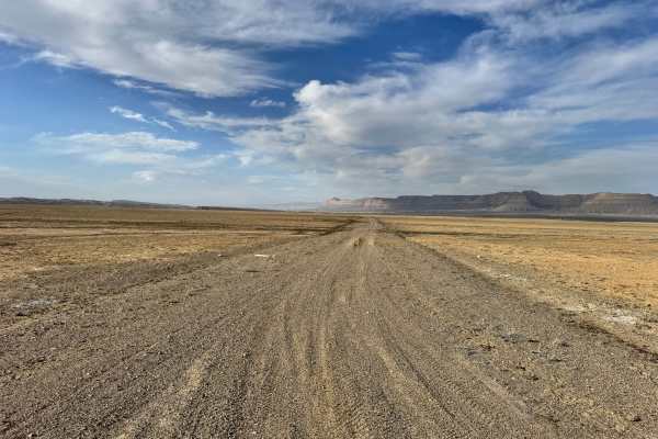
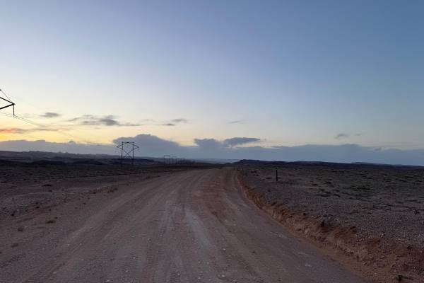
This route combines mining history, desert scenery, and a touch of exposure. The route travels through an old mining district where scattered claims, closed mine openings, and historic remains still tell the story of the region’s 1950s mineral boom. Use caution around all mine sites and obey posted warnings, as hazards may still exist, including unstable ground, hidden shafts, and remnants of past operations. As the route climbs higher, the landscape opens into a narrow shelf road cut along the mountainside. This section is one vehicle wide in places and offers dramatic views into the valley below. Rock layers and exposed mineral veins can still be seen along the hillside. After descending from the shelf road, the trail crosses a broad wash and floodplain area with several low spots that may hold water or become muddy after storms. High clearance 4x4 is recommended.
Difficulty
This route is mostly manageable for stock high-clearance 4x4 vehicles, but it earns a moderate rating due to the narrow one-vehicle-wide shelf road, exposure along the mountainside, loose rocky sections, and wash crossings in the lower floodplain. Dry conditions keep the trail fairly straightforward, but rain can quickly increase difficulty with mud and standing water. Drivers uncomfortable with heights or tight shelf roads may find the upper section more challenging.
History
This route passes through part of the San Rafael Swell mining region, where uranium and other minerals were heavily explored during the mid-1900s. Old claims, closed mines, and remaining road cuts are reminders of the boom years when miners worked these remote hillsides.