Trail Overview
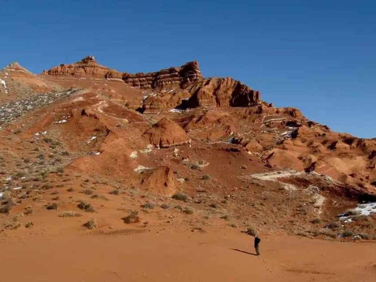
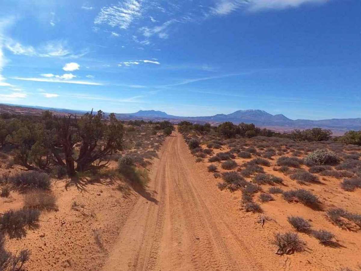
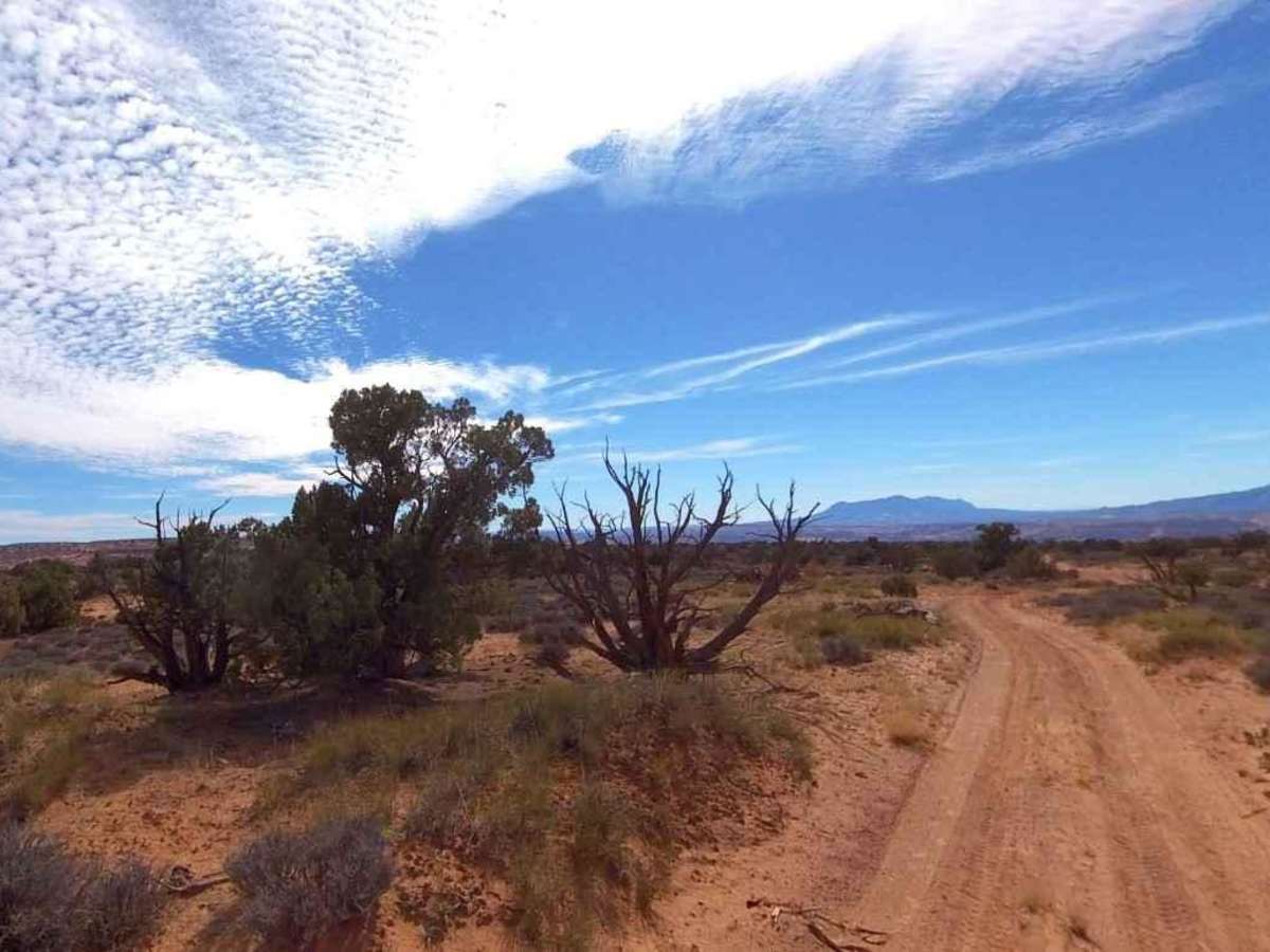
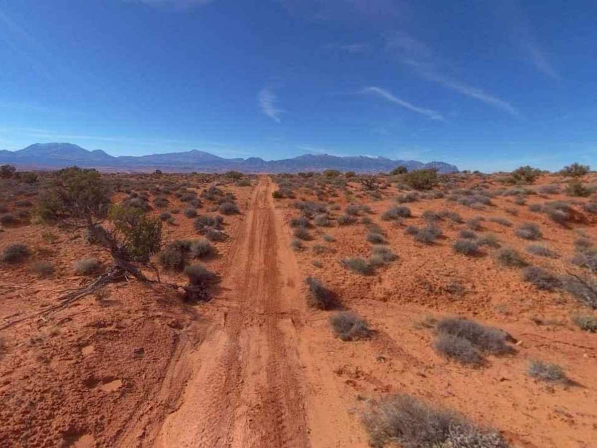
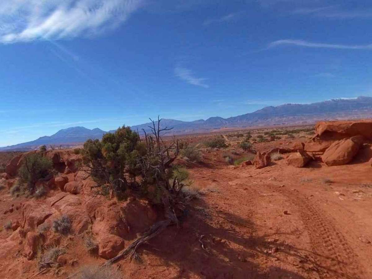
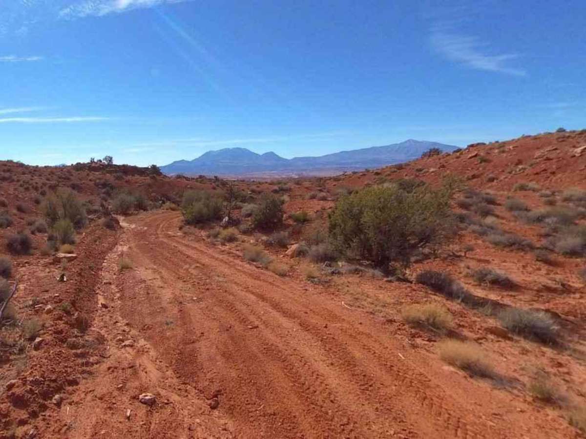
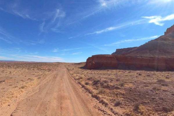
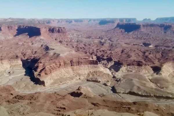
South Turkey Knob is an 8.2-mile point-to-point trail rated 2 of 10 located in Garfield County. This is a hard-packed intermittently graded road that is generally 2 vehicles wide. There are sections of the trail that show more wear than others and have the potential for loose dirt or sand. This trail along with North Turkey Knob comprise a 19-mile loop that starts and ends on State Route 95 south of Hanksville. At the intersection of these two trails is the Cedar Point Trail, which leads to an overlook of the Poison Springs area and the Dirty Devil River. Roughly halfway along this trail is the McMilan Spring remote campground (located just south of the trail). The most prominent terrain feature along this trail is the Turkey Knob peak (38.0526degN, 110.5624degW) extending out of the desert floor that the trial is named after. This area is hot and dry in the summer and can be well below freezing in the winter. The area has a seasonal average of 8 inches of snow. Don't expect any cell service, and the nearest services are located north on SR95 in Hanksville.
Difficulty
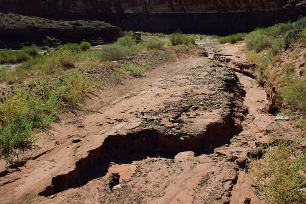
Trail consisting of loose rocks, dirt, and sand with some slickrock surfaces, mud holes possible, no steps higher than 12 inches. 4WD may be required; aggressive tires are a plus.