Trail Overview
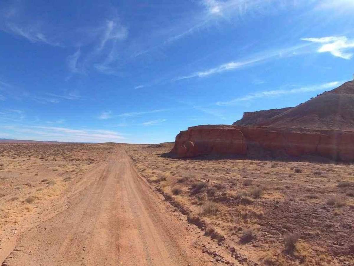
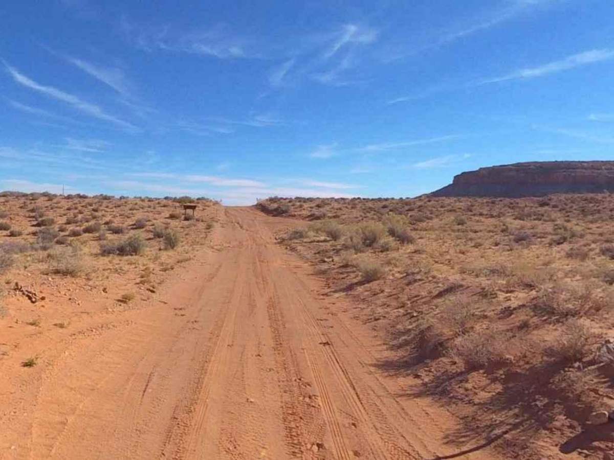
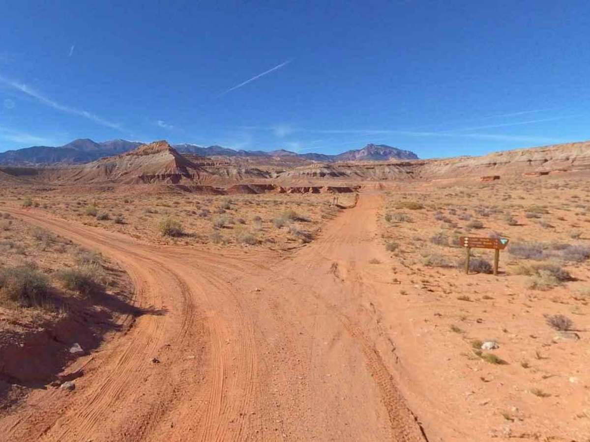
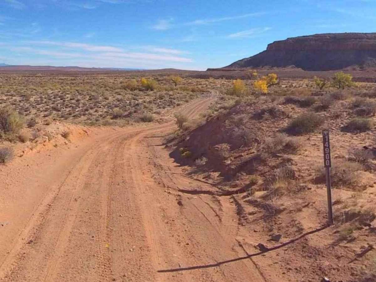
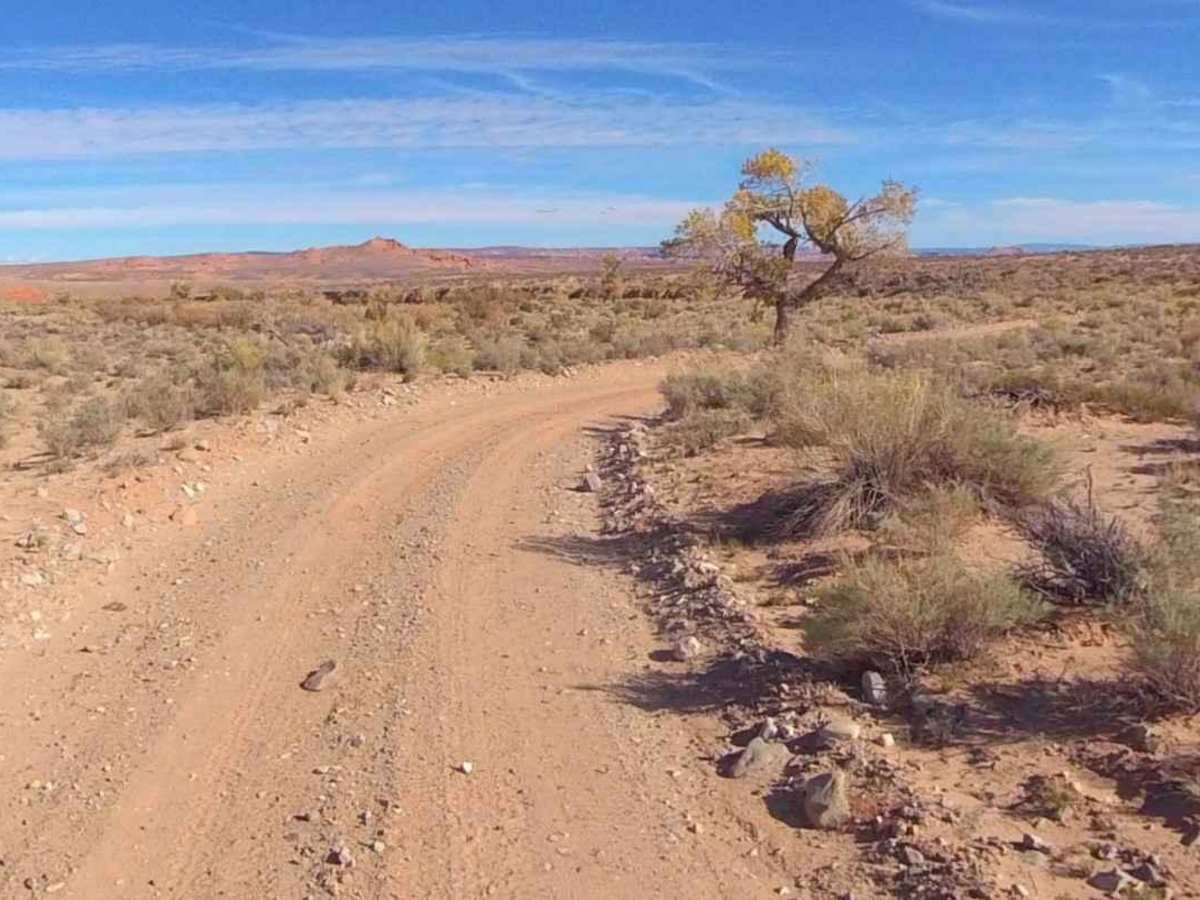
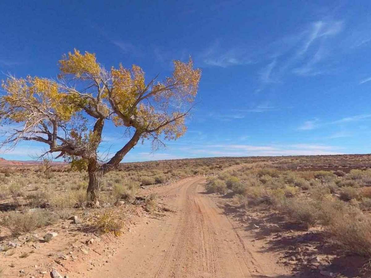
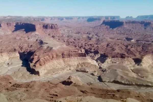
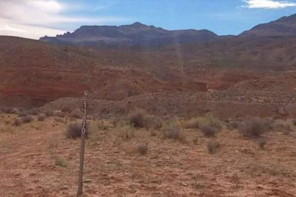
Lone Cedar Road-BLM14900 is a 4.3-mile point-to-point trail rated 2 of 10 located in Garfield County. This trail is an intermittently maintained dirt track, generally 2 vehicles wide. It is used mostly as a connector trail to access the Henry Mountain area, but is also used as a connector loop for those running trails on the east side of SR95. Lone Cedar Road will connect SR95 at North and South Turkey Knob trails. It is used by off-roaders to return to the staging area at North Turkey Knob who do not wish to use SR95 with their ORVs. This trail is accessible to all motorized vehicles and is suitable for 2WD passenger vehicles with adequate ground clearance. Although used primarily as a connector trail, it does offer some very nice desert views of the local mountains. Cell phone coverage is intermittent at best, but usually unavailable along this track. The nearest services are located north on SR95 in Hanksville.