Trail Overview
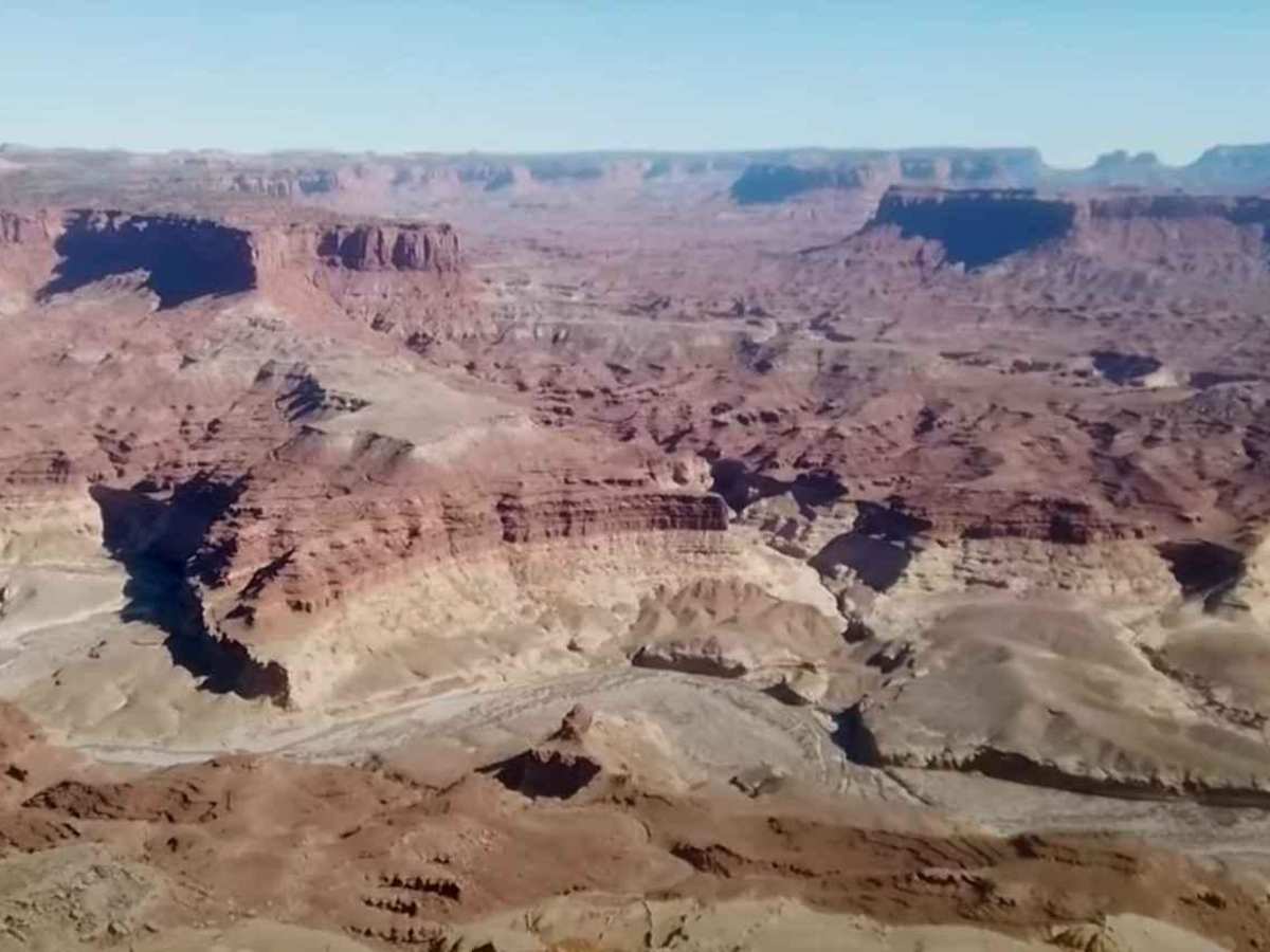
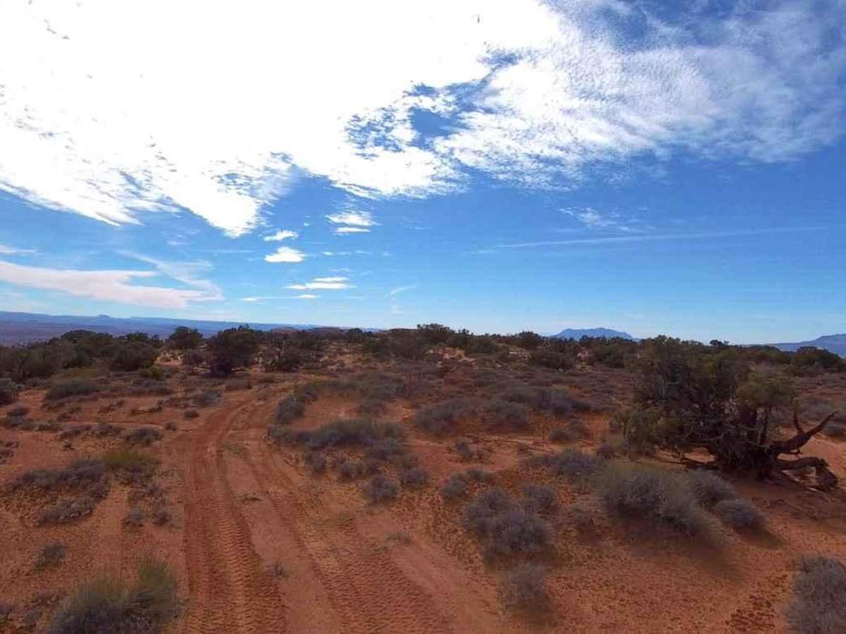
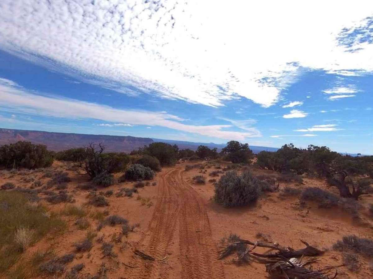
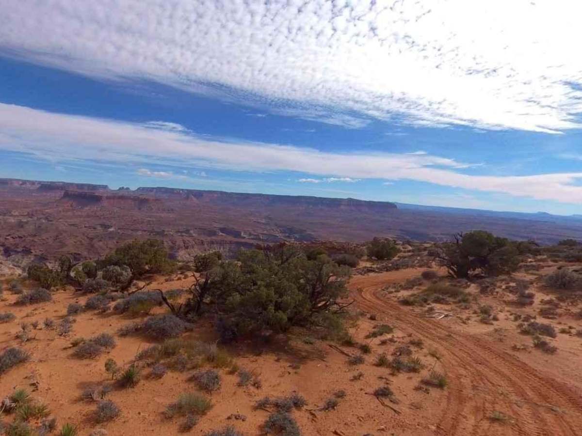
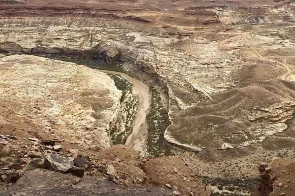
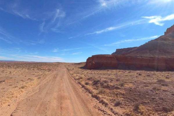
Cedar Point Trail is a is a 2.4-mile out-and-back (4.8-mile round trip) trail rated 3 of 10 located in Garfield County. This trail is generally used but two groups of people: those who are dispersed campers looking for a fantastic view, and canyoneers who are looking for the shortest route into Leprechaun Canyon, a slot canyon with some amazing technical descents/ascents. The trail is generally accessible by most vehicles, but the road is not maintained regularly. Typically, 2 vehicle widths, it is an easy 200-foot ascent to the trail's end. The views to the west are of Poison Spring Canyon, and below is the Dirty Devil River. Blowing sand may cover the trail on occasion, and the road can become considerably more difficult during and after inclement weather. Consider creating a looping visit but using both North and South Turkey Knob trails which offer scenic views of both high plains desert as well as the Henry Mountains to the southwest. Don't expect cell phone service in the area. Come prepared, this area is hot in the summer and can be below freezing in the winter, but is generally accessible year-round. The nearest services are located in Hanksville.