Trail Overview
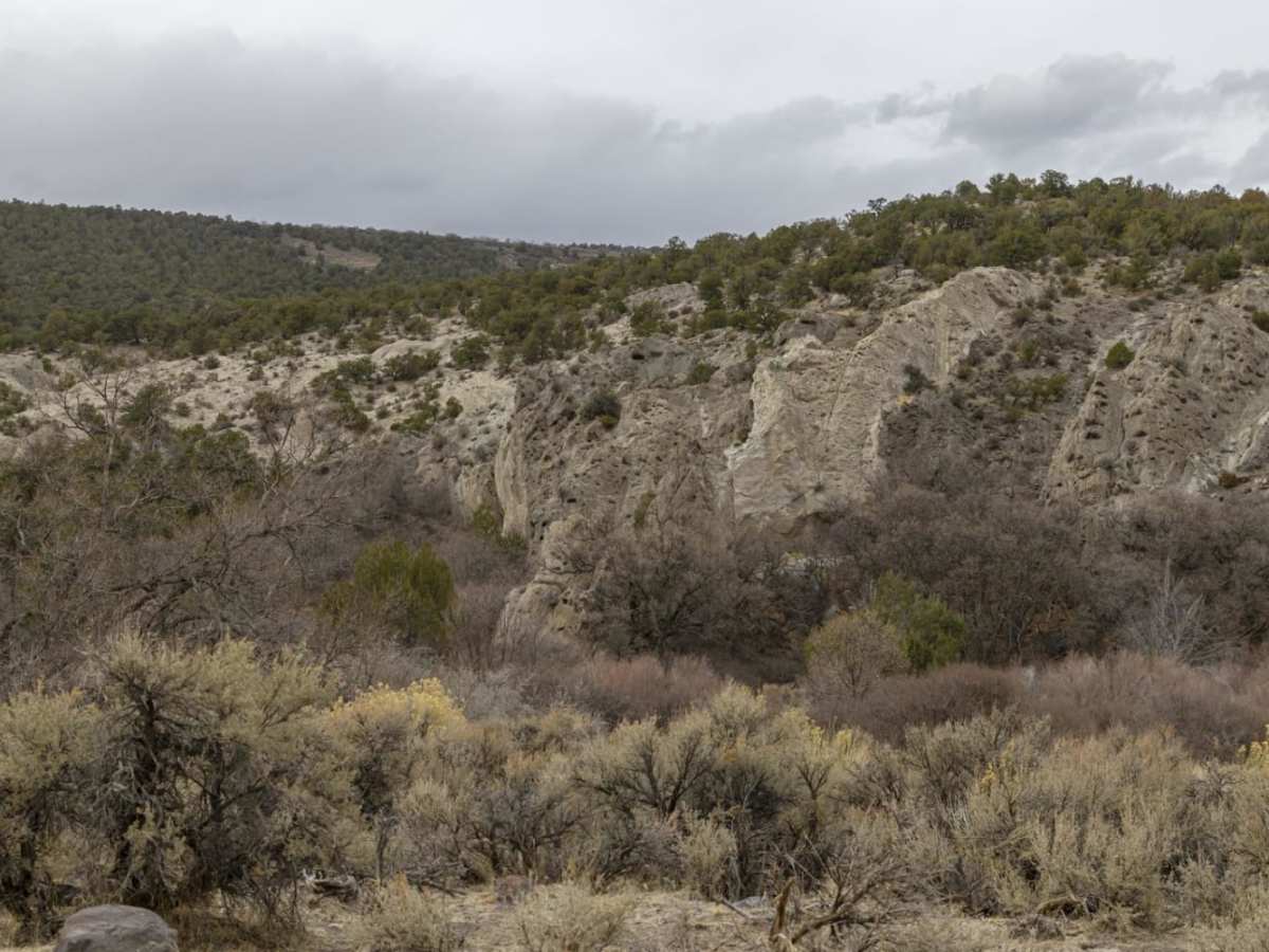
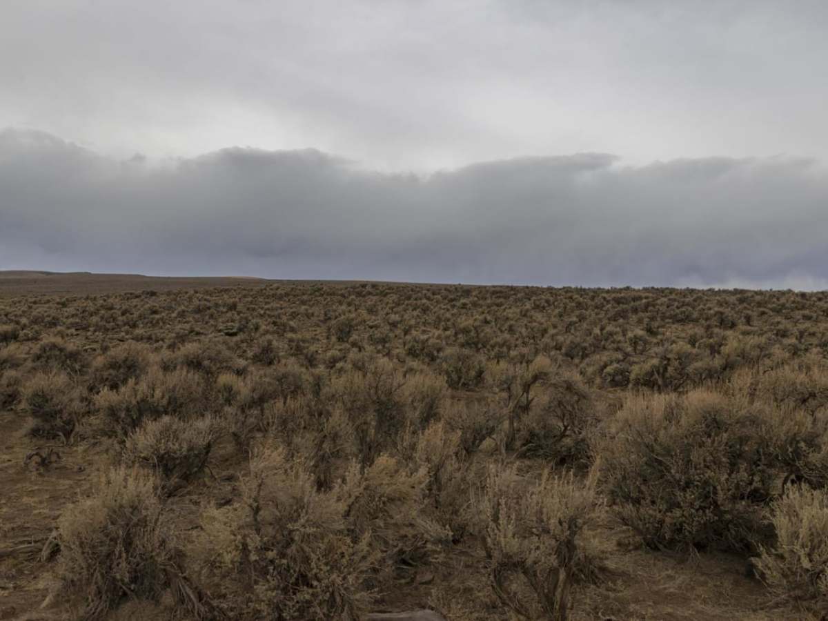
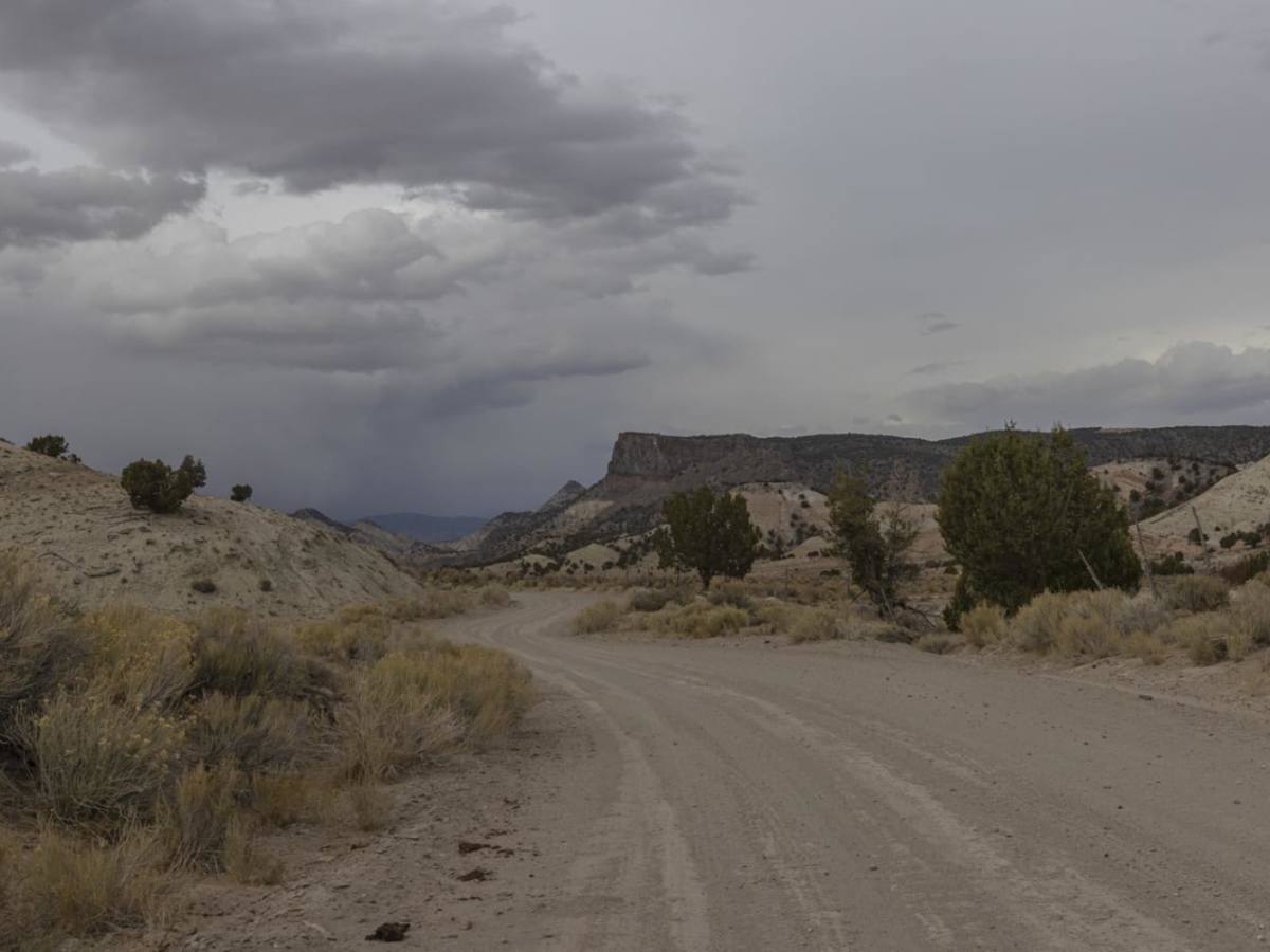
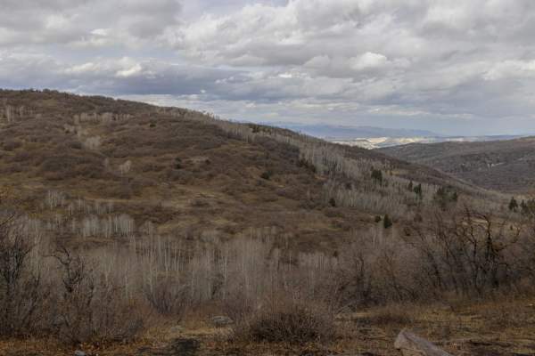
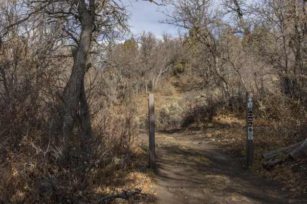
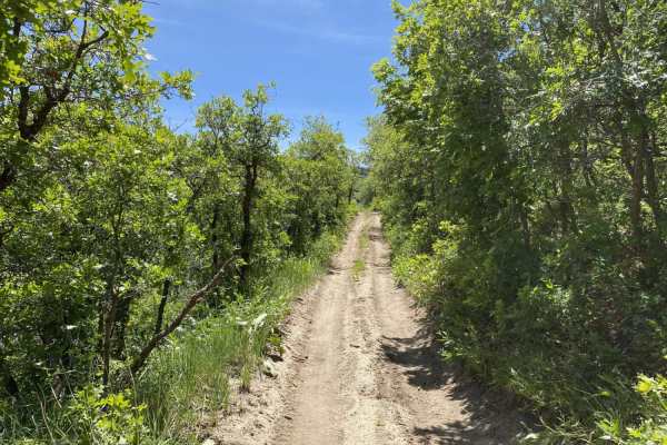
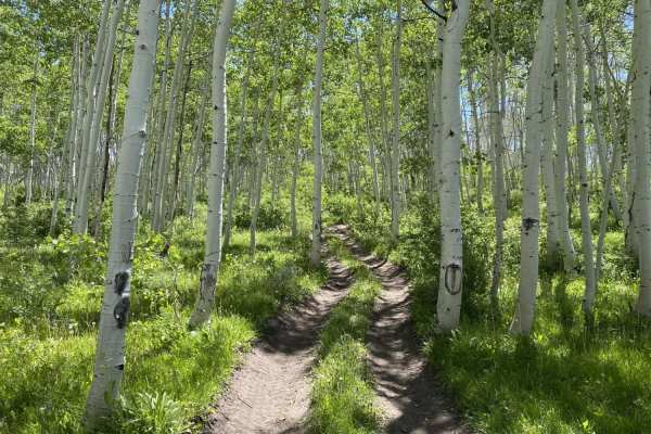
Oak Ridge to Brown's Hole Trail is an excellent, scenic connector route for SxSs, ATVs, and high-clearance four-wheel-drive vehicles looking to bypass the paved Gooseberry Road. Spanning approximately 1.9 miles, this dirt path climbs through beautiful sagebrush meadows and dense patches of scrub oak before reaching its peak among high-altitude aspen groves. Starting near Twin Ponds Hollow and the Oak Ridge trailhead at an elevation of 7,822 feet, the route ascends 691 feet to a maximum elevation of 8,483 feet. The trail provides an engaging but accessible climb for offroaders seeking to explore the transition from valley floors to higher mountain terrain.
With a technical rating of 3, the trail consists primarily of unmaintained dirt that can become slick and challenging during inclement weather. The Oak Ridge trailhead features a large parking area with ample space for unloading trailers and SxSs, as well as vault restroom facilities. While navigating the path, drivers should keep an eye out for local wildlife, as elk and mule deer are frequently spotted grazing in the surrounding meadows. This short, scenic climb serves as a perfect stepping stone for connecting with more expansive trail systems in the area.
Access Description
The trail is open to ATVs, SxSs, and high-clearance four-wheel-drive vehicles. Unmaintained dirt surfaces can become slick and muddy during or after rain, requiring extra caution. There are no fees or permits listed, but seasonal closures may apply depending on local weather conditions.