Trail Overview
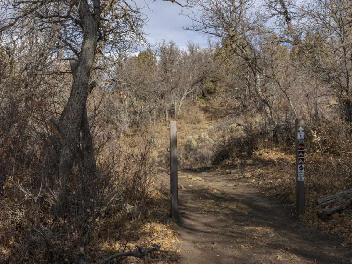
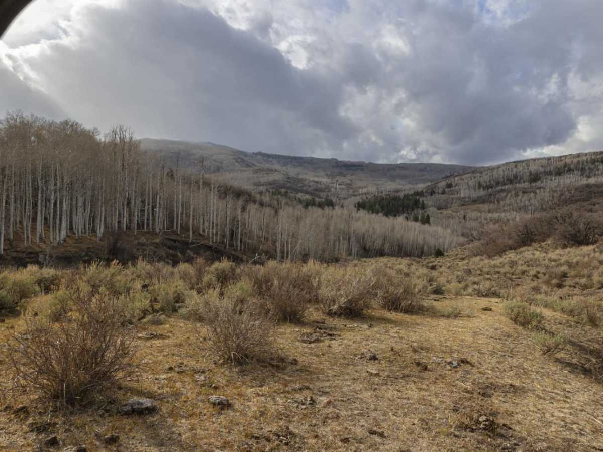
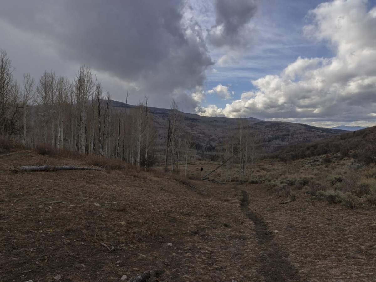
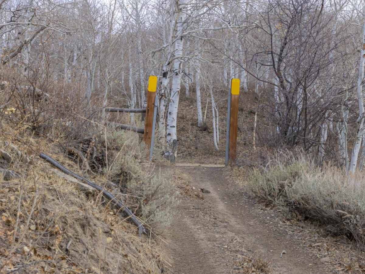
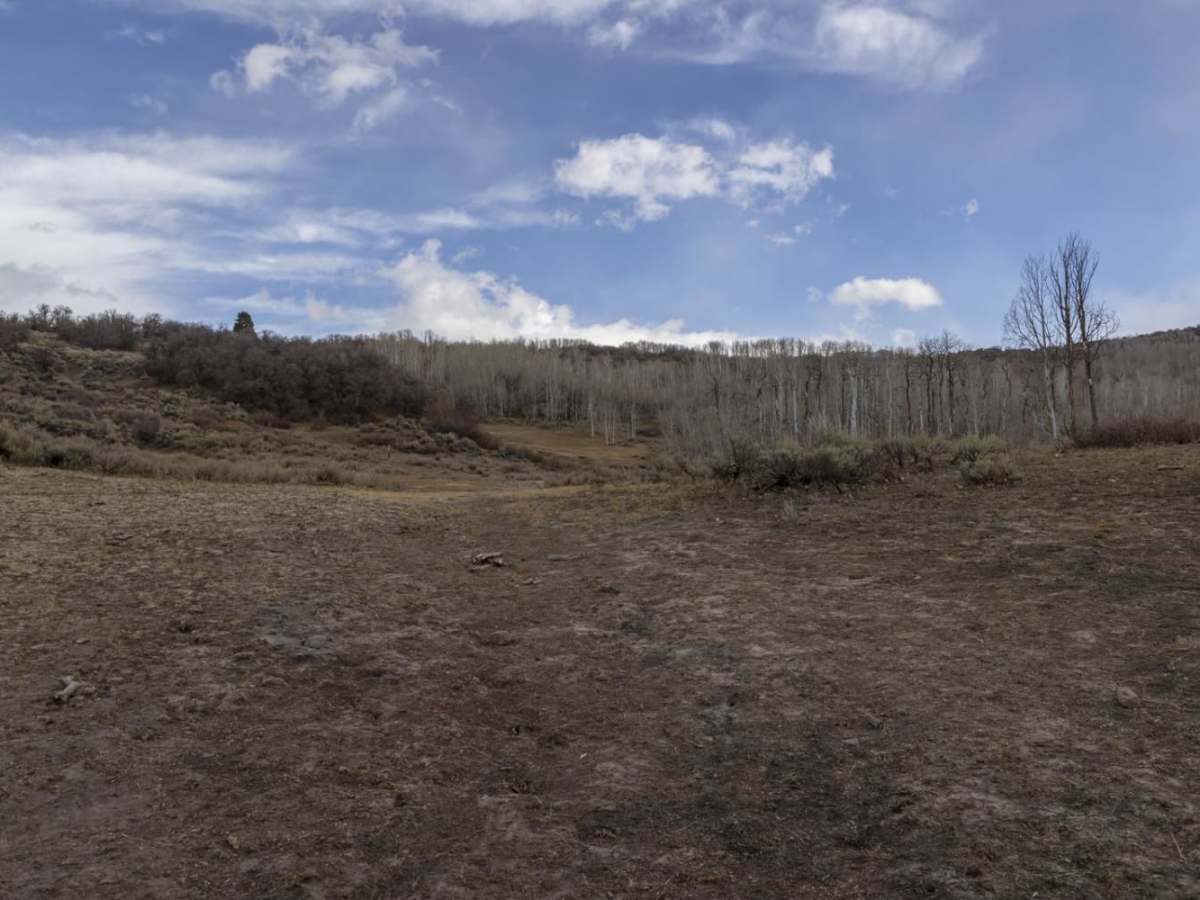
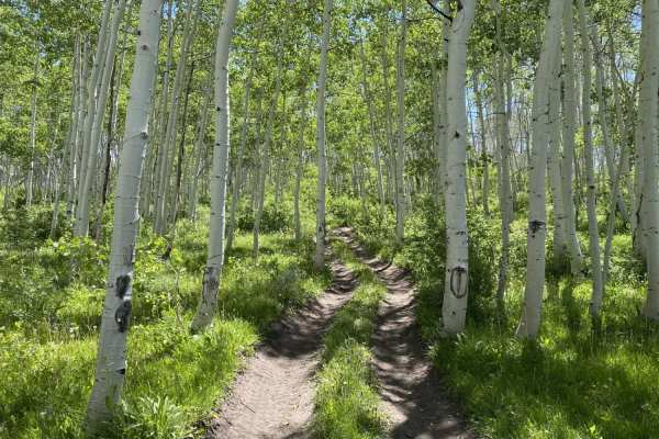
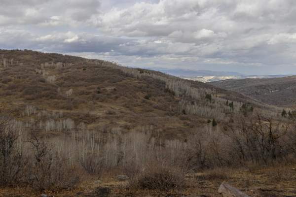
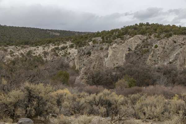
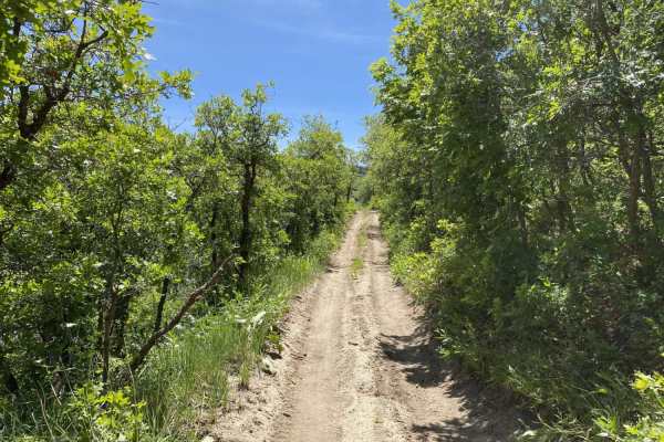
The Oak Ridge Road Access Trail is a short, scenic bypass ideal for ATV, SxS, and high-clearance four-wheel-drive drivers looking to avoid the paved Gooseberry Road near Gooseberry Campground. Spanning approximately 1.1 miles through Utah's Fishlake National Forest, this unmaintained dirt track climbs from 8,319 feet to a peak of 8,880 feet. Along the 561-foot ascent, the route cuts through sprawling sagebrush meadows, thick patches of scrub oak, and high-altitude aspen groves. This short connector provides a scenic and legal dirt option for off-highway vehicles, while also offering excellent opportunities to spot resident wildlife like elk and mule deer.
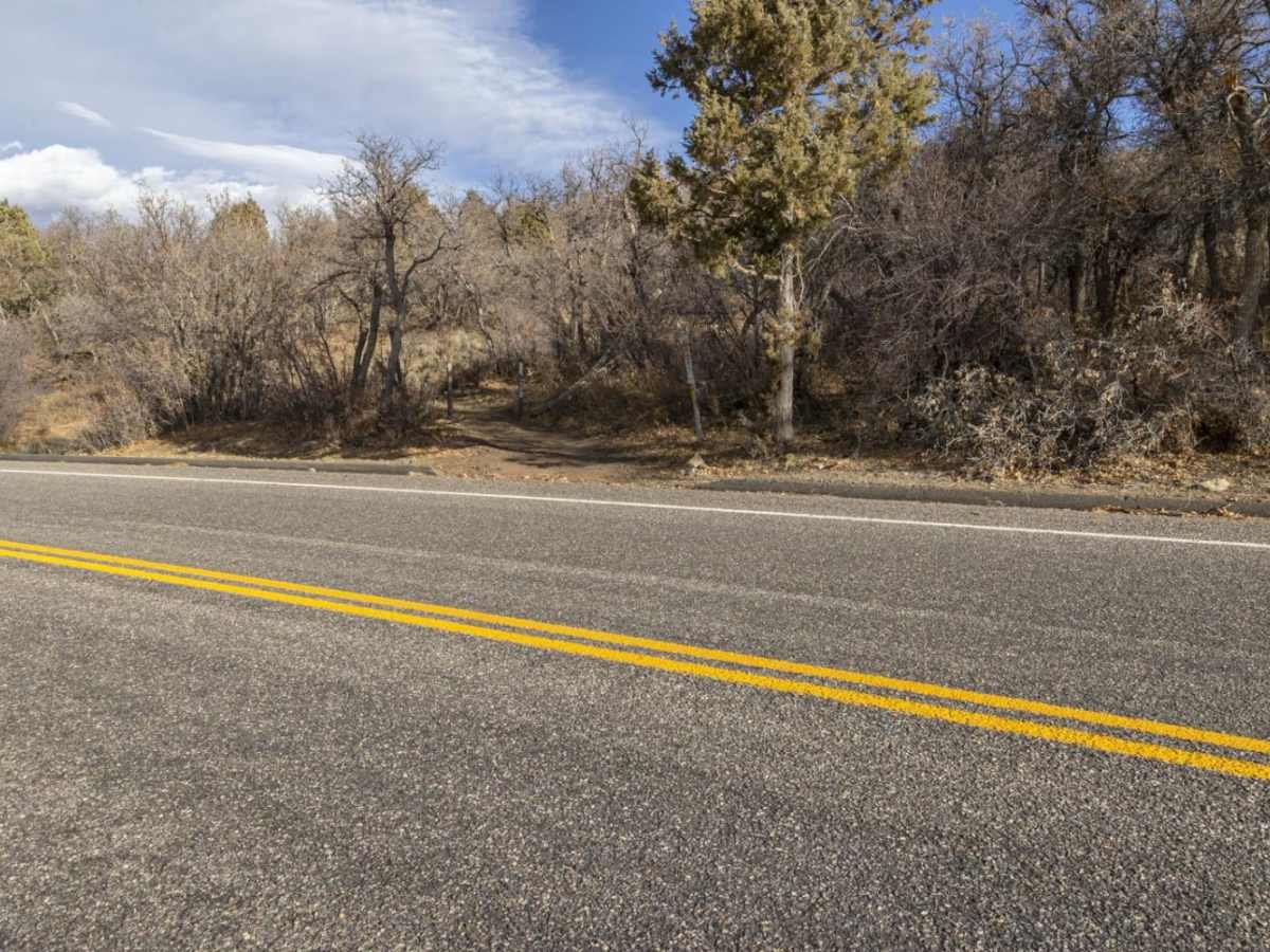
Rated a 3 out of 10 for difficulty, the trail features a handful of tight switchbacks and moderately steep climbs that demand basic off-road driving skills. Because the primary surface is unmaintained dirt, the track can become exceptionally slick and muddy during wet weather or summer thunderstorms, requiring extra caution. High-clearance four-wheel-drive vehicles, SxSs, and ATVs will navigate the trail with ease under dry conditions. Accessing the route is straightforward via Gooseberry Road, making it a highly convenient link for riders exploring the broader Gooseberry trail system.