Motoqua - Square Top Mountain

Total Miles12.2
Technical Rating
2Easy
Best TimeSpring, Summer, Fall, Winter
Trail TypeHigh-Clearance 4x4 Trail
Accessible By
Open Trail Map

Trail Overview

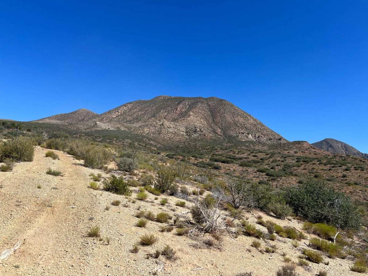
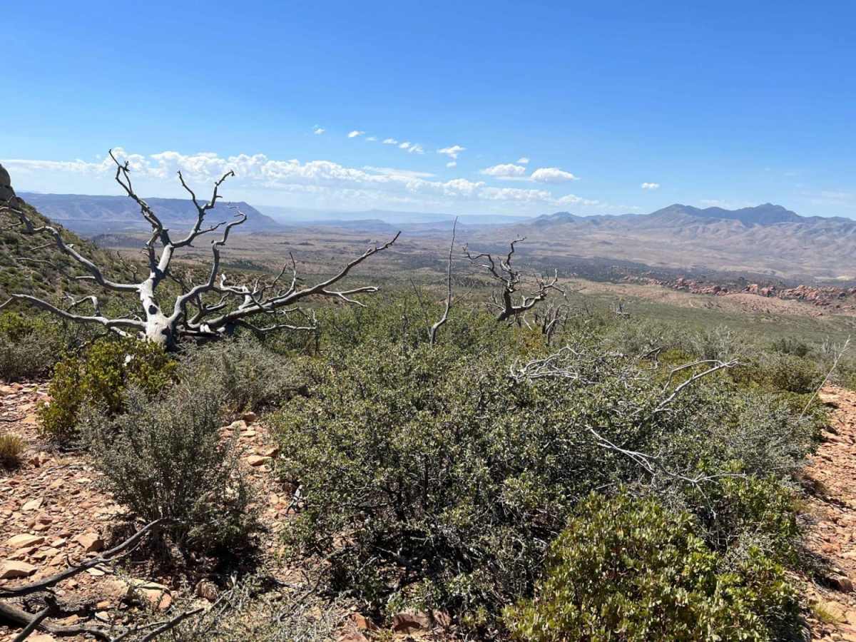
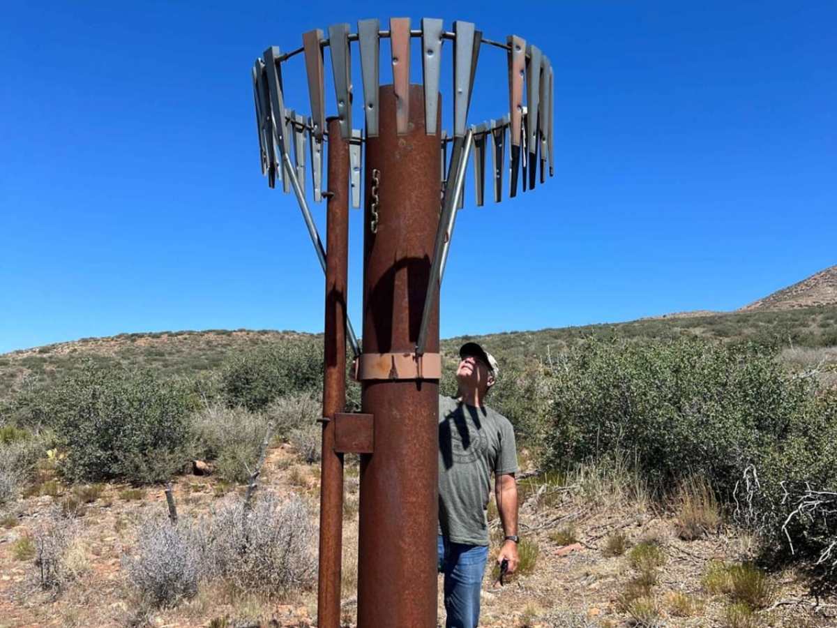
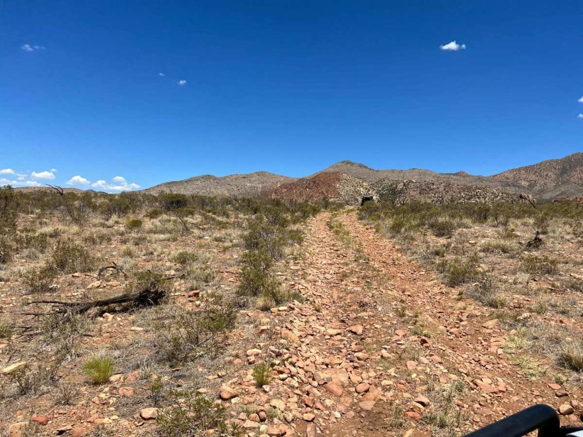
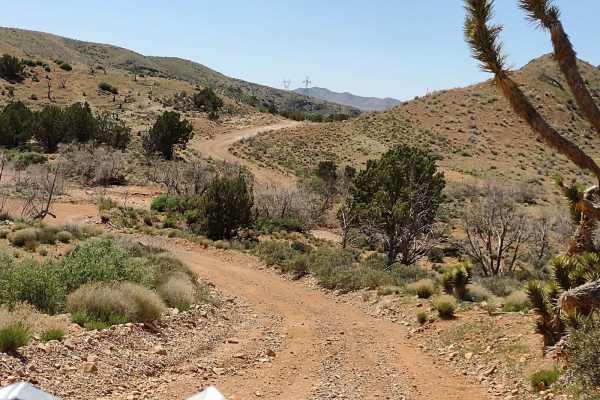
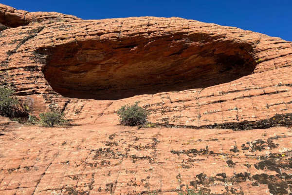
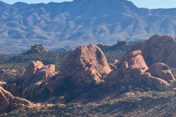
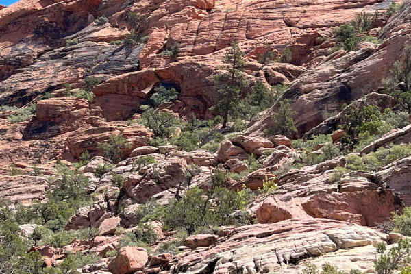
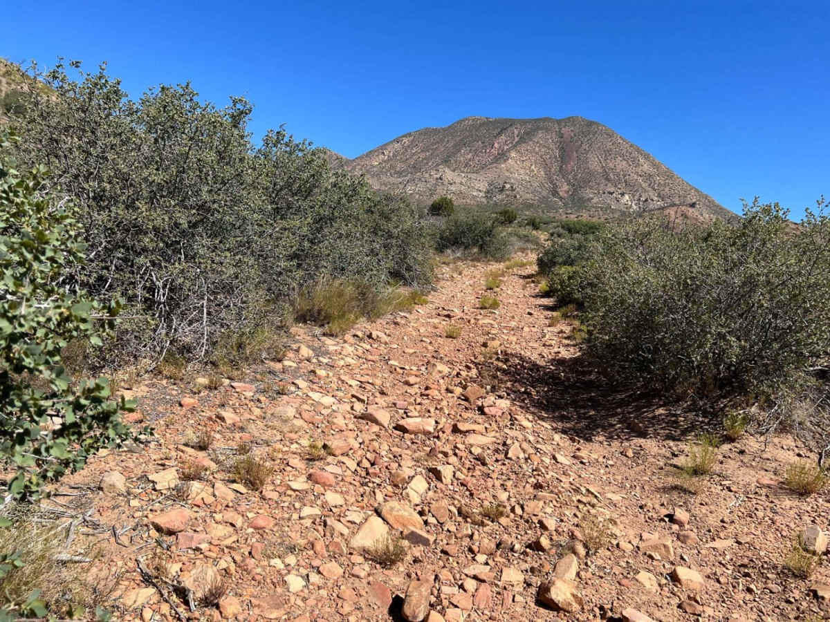
Motoqua - Square Top Mountain is a 12.2-mile out-and-back off-road trail northwest of St. George, Utah. Starting off Motoqua Road, the route climbs from 3,980 feet to 5,510 feet near the base of Square Top Mountain. Rated a technical difficulty of 2, the trail is exceptionally rocky with sharp, tire-challenging stones. High-clearance 4WD vehicles or OHVs are recommended to prevent punctures. Highlights include panoramic valley views, a wildlife water catchment system, and proximity to the historic 1983 B-52 bomber crash site near the summit. The trail is best traveled during the spring, fall, and winter.

Photos of Motoqua - Square Top Mountain

Difficulty

This trail is rated a 2 but the trail is very rocky with sharp rocks. The best description of the trail is annoyingly rocky. There are some beautiful views of the valley upon the return but those can be had with much less trouble.

History

In 1983, a United States Air Force B-52 Stratofortress bomber crashed into Square Top Mountain, missing the peak by only 250 feet. The crash scattered debris extensively across the summit area, giving it a heavily disrupted appearance.

Technical Rating

2

Motoqua - Square Top Mountain Trail can be accessed by the following ride types:

  • Single Track
  • 50 Inch
  • 60 Inch
  • High Clearance

Motoqua - Square Top Mountain Map

The onX Offroad Difference

onX Offroad combines trail photos, descriptions, difficulty ratings, width restrictions, seasonality, and more in a user-friendly interface. Available on all devices, with offline access and full compatibility with CarPlay and Android Auto. Discover what you're missing today!

Open Trail Map