Trail Overview
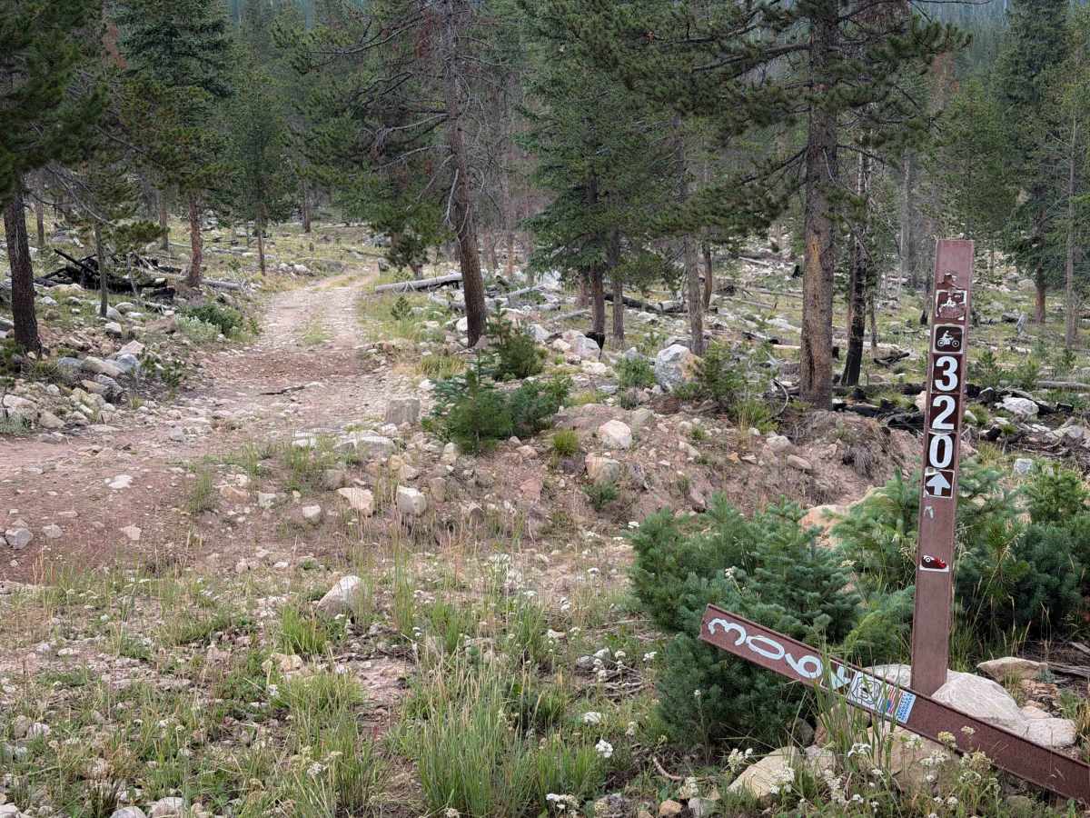
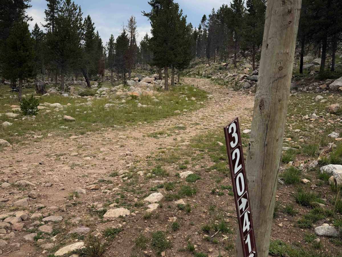
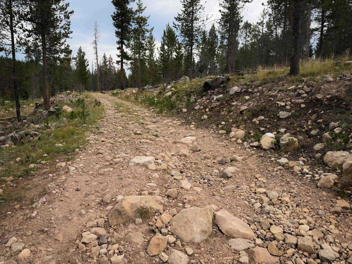
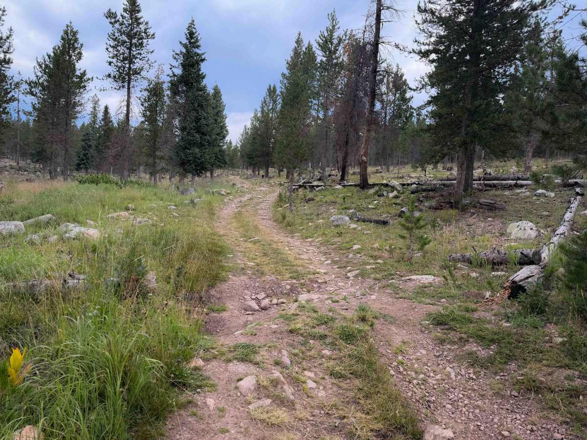
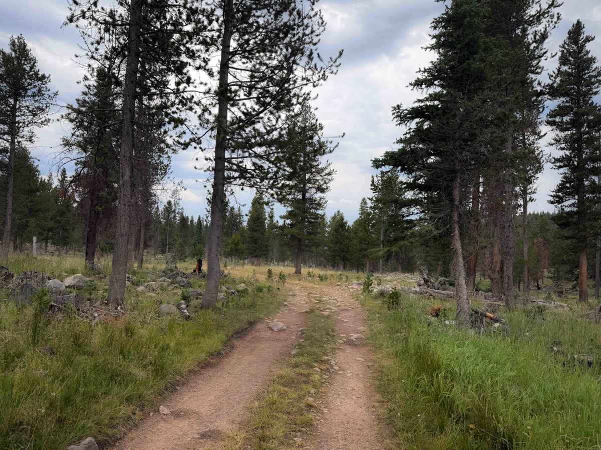
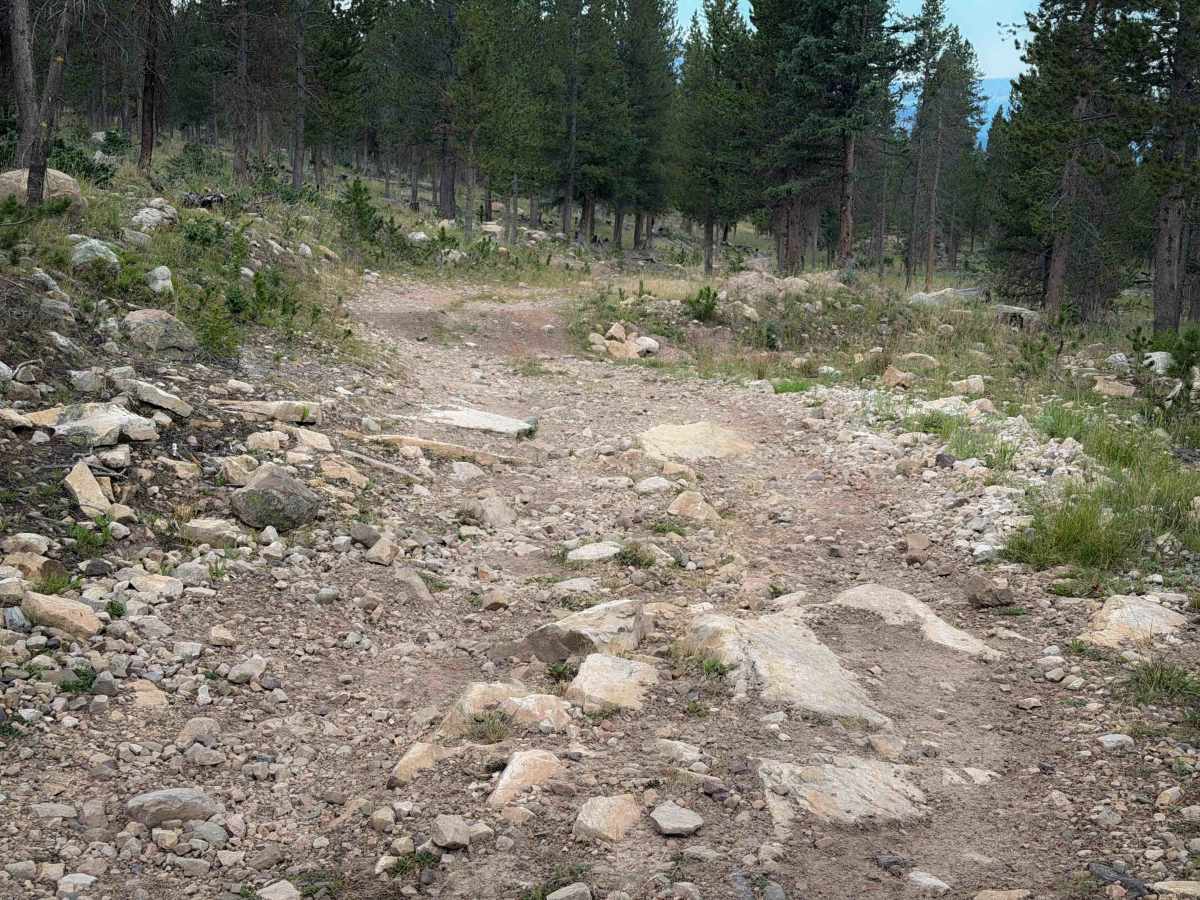
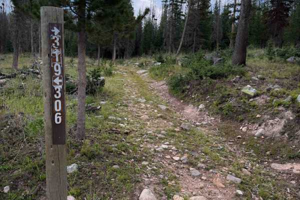
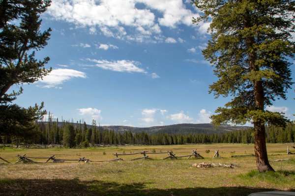
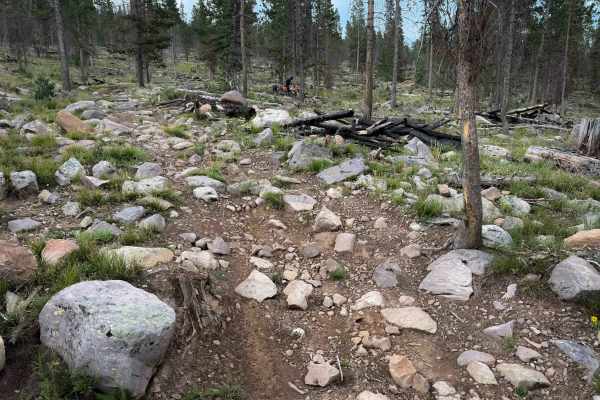
Lost Creek is a short ATV connector trail within the Murdock Basin ATV system, connecting the #416 4x4 trail to a midway point on the Broadhead Loop - FS 306, providing easy access or bailout from the longer loop. The trail is .8 miles long and is mostly a gradual ascent from south to north, winding up a mild hillside covered in small loose and embedded rocks. The trail is wide, more like a road, with shallow ruts and a few bigger waterbars. It goes through a picturesque forest with glades and lodgepole pines, and has the potential for downfall hazards, but the trail was clear of any downed logs (as of August 2026).
Difficulty
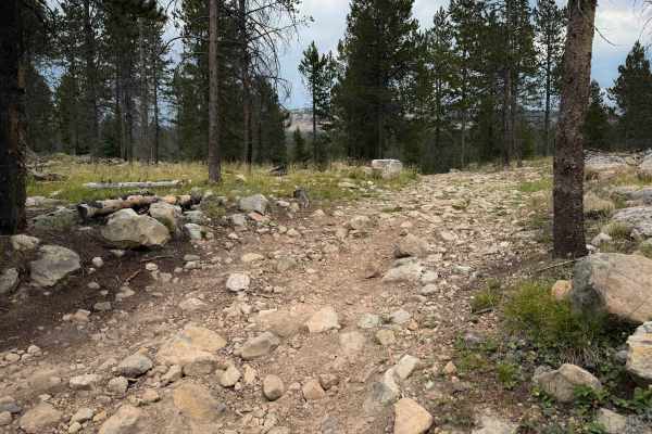
The trail is consistently rocky for the whole route, with small boulders and embedded rock surfaces that riders must go over. There aren’t any major rock ledges or obstacles, but the rocky surface will make it a slow-going trail for quad riders.