Trail Overview
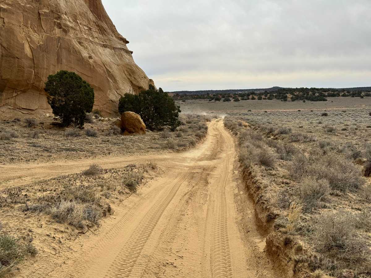
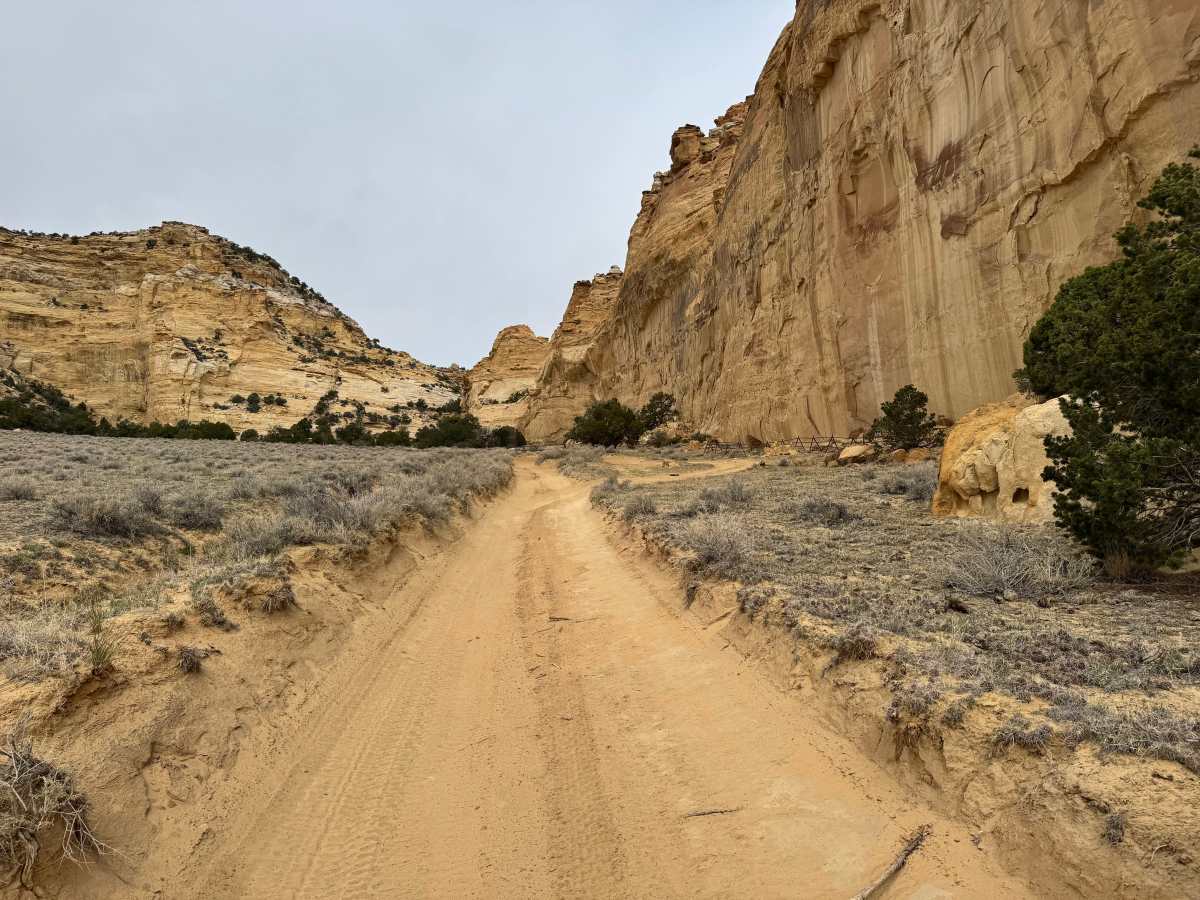
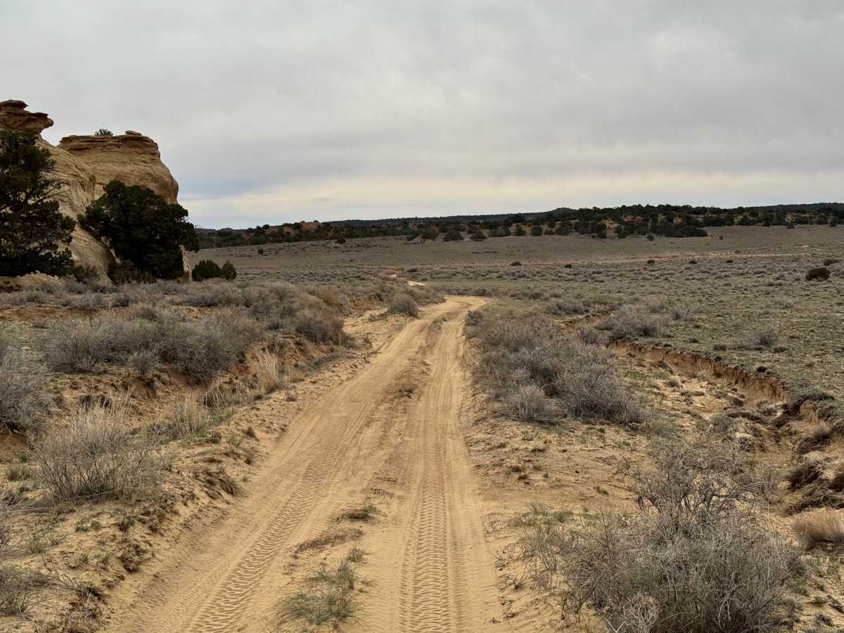
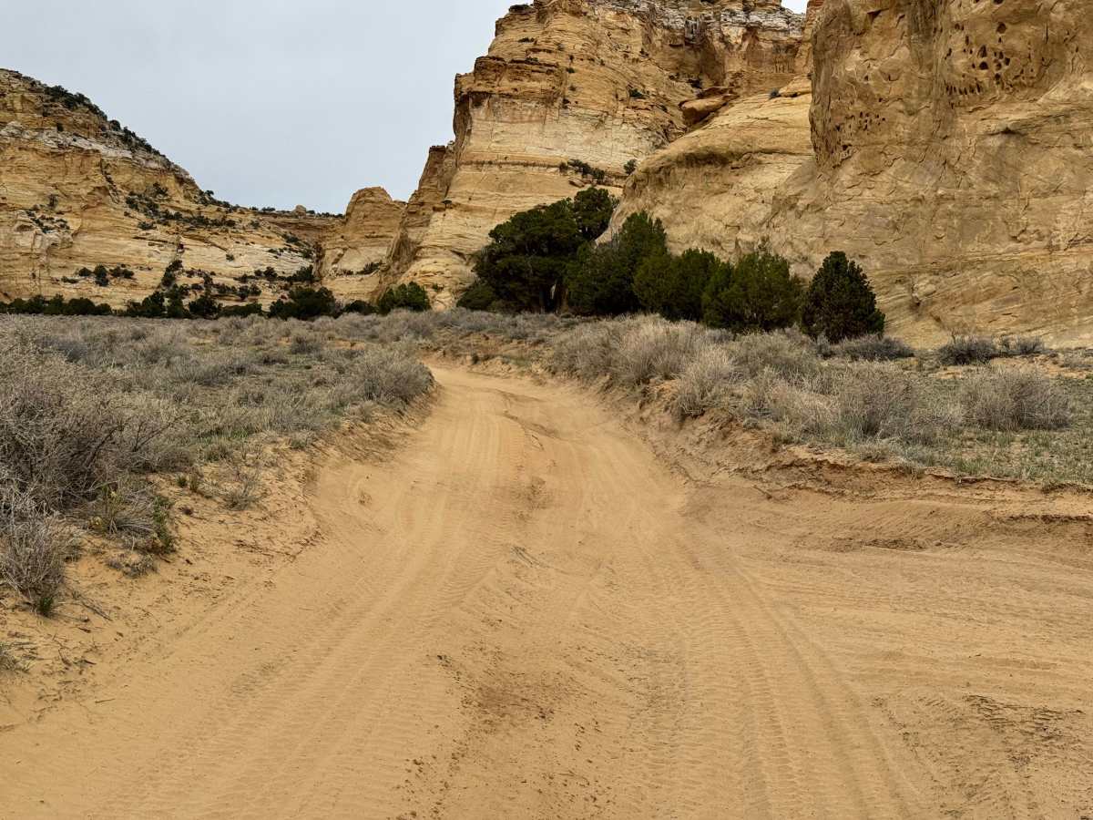
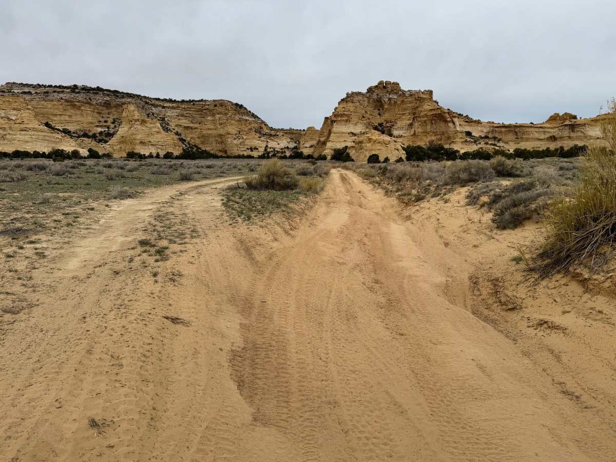
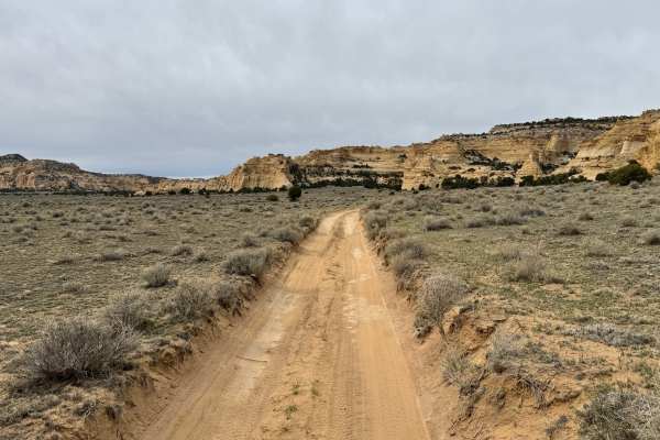
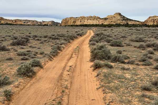
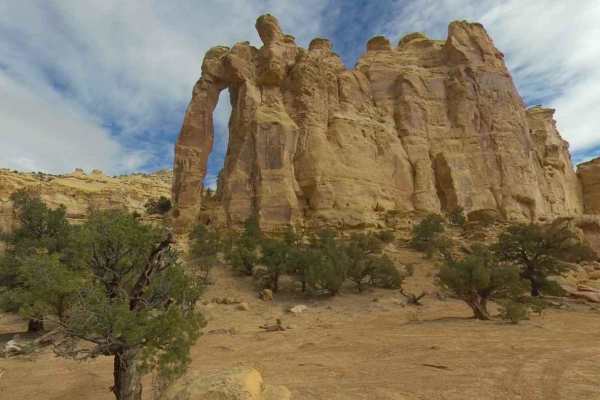
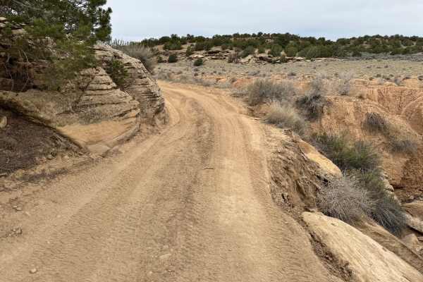
Non-Resident OHV permits apply to ATVs, UTVs, and dirt bikes. Plated street-legal vehicles typically do not need one on legal motorized routes. This short and easy spur in the San Rafael Swell leads to the Lone Warrior pictograph, one of the area’s more memorable and accessible rock art destinations. The trail itself is only one vehicle wide and ends at a small turnaround, making it best suited for short wheelbase vehicles or those comfortable backing up if needed. The drive in is typically very easy, following a sandy track that may develop occasional washouts after storms but is usually straightforward in dry conditions. From the trail end, the pictograph panel is only a few hundred feet away on mostly level ground. A large sandstone wall features the faded red figure known as the Lone Warrior, shown holding a spear and shield. Sharp-eyed visitors may notice additional faint markings nearby.
Difficulty
This short spur is normally an easy drive with sandy two-track terrain and only occasional minor washouts. The route is one vehicle wide and ends at a turnaround, so awareness of oncoming traffic and backing space is helpful. In dry conditions, most stock high clearance SUVs and 4WD vehicles should have no trouble. There are no major rock obstacles, steep climbs, or technical sections. After storms, washouts, or softer sand may increase the difficulty slightly.
History
The San Rafael Swell is a massive geologic uplift shaped by erosion into canyons, mesas, domes, and reefs. Many roads in the region were later used for ranching, mining, and energy exploration, creating the access routes travelers still use today.