Eagle Canyon-BLM820

Total Miles 6.3
Technical Rating
3 Easy
Best Time Spring, Summer, Fall, Winter
Trail Type Full-Width Road
Accessible By
Open Trail Map

Trail Overview

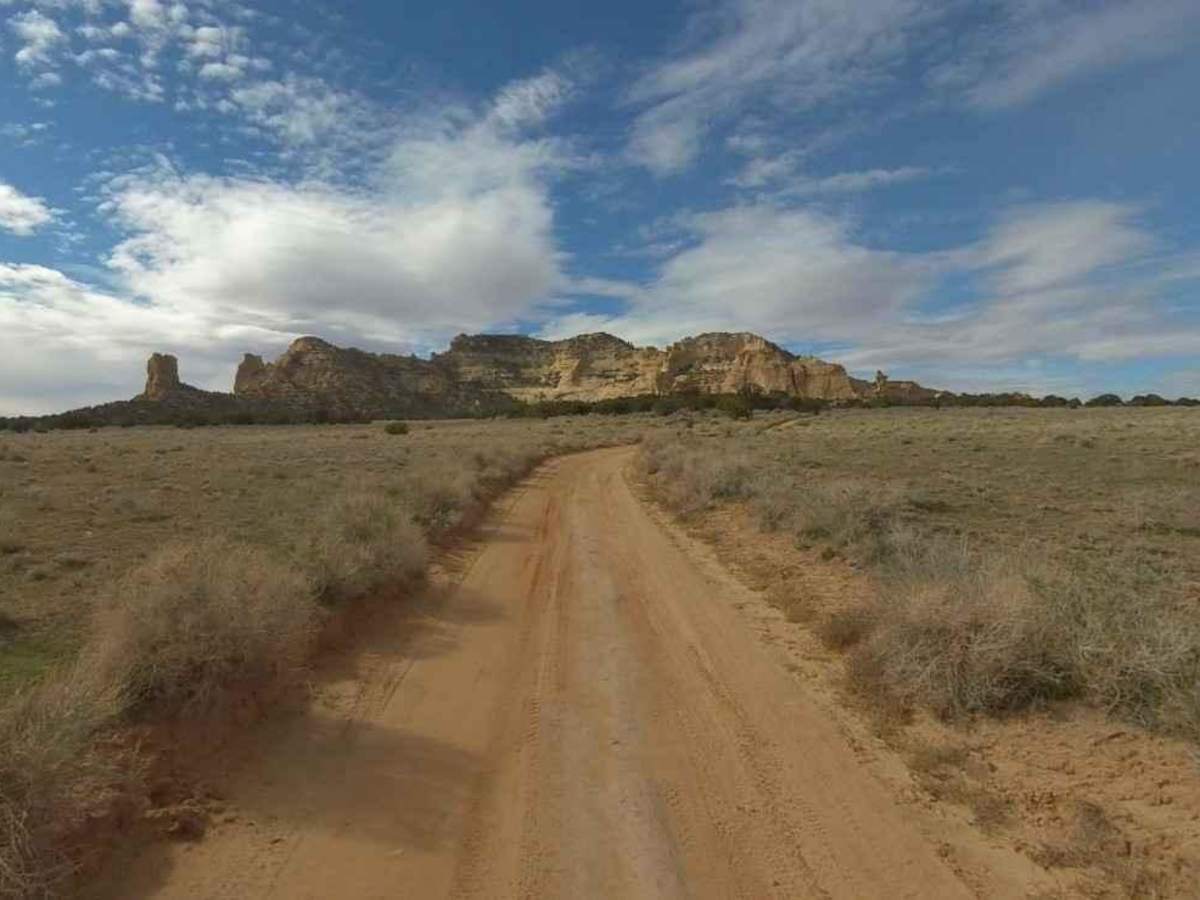
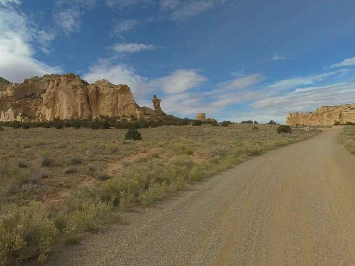
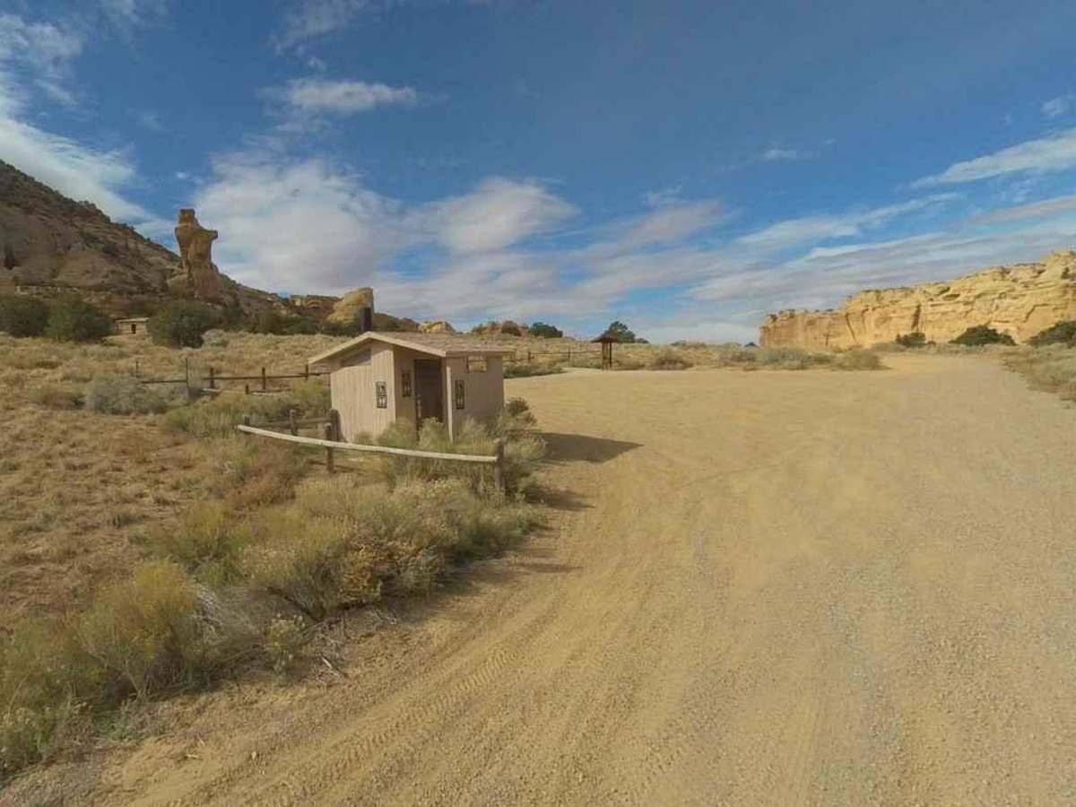
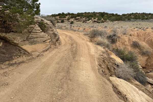
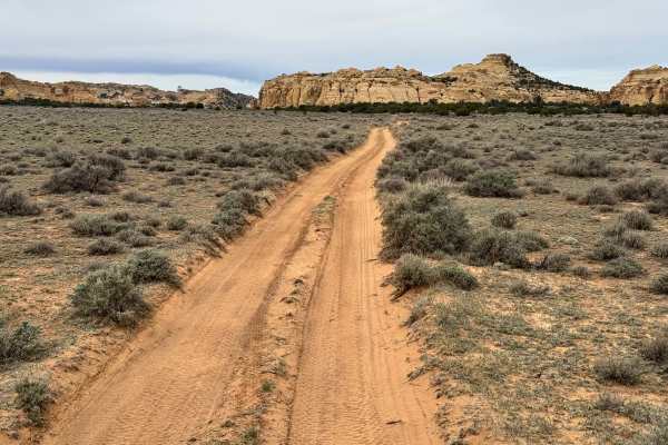
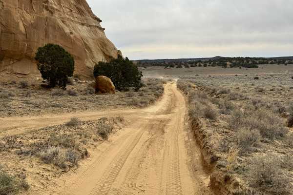
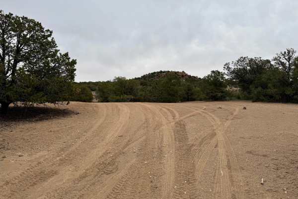
Eagle Canyon-BLM820 is a 6.3-mile point-to-point trail rated 3 of 10 located in Emery County and falls within the San Rafael BLM Travel Management Area. Eagle Canyon is a dual-track primitive dirt road. The trail starts on the east side at Rod's Valley Road and north of Interstate 70 at Secret Mesa-BLM648. The trail is predominately sand/dirt track with a few spots that have embedded rock in the trail. There are no significant obstacles along this trail and can be negotiated by any 4WD off-road vehicle. There are several points of interest along the trail. The Swasey Cabin is located near the east end. The cabin was built by Joe Swasey in 1921 and used as a shelter while running cattle in the area. The cabin is a short walk from a parking area along the track and there is a BLM restroom at the site. Continuing west on the trail leads to into Eagle Canyon with cliffs on both sides of the trail. Rounding one corner will bring the Eagle Canyon Arch into view. The arch is right on the side of the trail and is a great place for pictures. The trail then crosses under the Eagle Canyon Bridges of Interstate 70 before ending at Secret Mesa. Cell phone service was intermittent near Interstate 70 but there was no service in the canyon. The nearest services are located in Emery or in either direction on Interstate 70.

Photos of Eagle Canyon-BLM820

Difficulty

Trail consisting of loose rocks, dirt, and sand with some slick rock surfaces, mud holes possible, no steps higher than 12". 4WD may be required, aggressive tires a plus.

Technical Rating

3

Status Reports

Add Status Report
Conor Barry
May 03, 2026
Open
Rougher than expected for a green. Started at the cabin and worked north to 70. Couple of pretty tight spots for a Bronco but we made it through clean. Nothing too serious but enough to keep you engaged. Amazing scenery and cool history. We took Secret Mesa back to 70. That part of the drive was the roughest and most exciting. Worth noting the tunnels at the end are really tight. I made it through but just barely.
Wade Norton
Mar 19, 2026
Open
Nathan Brown
Mar 13, 2026
Open
There is an important distinction on this trail that needs to be understood. Everything east of Swasey Cabin is extremely easy and non-technical. Any two-wheel-drive vehicle can complete that section without difficulty. However, the trail west to northwest of Swasey Cabin is the complete opposite. Almost immediately the trail becomes narrow, rocky, and technical, with boulders, stair-steps, and steeper obstacles. This section requires more than standard 4WD, and in some spots additional lift and clearance may be necessary. Be very mindful of your time. We assumed we could cruise through this section like the rest of the easy green trails we had driven earlier in the Swell, but that was not the case. This western section should really be rated BLUE, and you should plan extra time accordingly. It took us four times longer to complete than the earlier portion of the trail.
Ryan Loughridge
Jul 21, 2025
Open
There were a couple of obstacles that required some experience to get through. Not recommended for an inexperienced off-roader. It’s an incredibly beautiful trail. Take your time to enjoy it. There are lots of hikeable rock formations and off-shoot canyons to explore. A few of the obstacles I encountered were due to previous wear and tear from other vehicles. A dislodged boulder in the middle of a technical section made for some creative driving. I could also tell there has been some flash flooding through the canyon.
Kristian Brown
Jun 20, 2025
Open
Fun trail with beautiful views. Nothing too challenging but high clearance would be recommended
Mike Wood
Apr 05, 2025
Open

Eagle Canyon-BLM820 Trail can be accessed by the following ride types:

  • Single Track
  • 50 Inch
  • 60 Inch
  • High Clearance
  • Full Width

Eagle Canyon-BLM820 Map

The onX Offroad Difference

onX Offroad combines trail photos, descriptions, difficulty ratings, width restrictions, seasonality, and more in a user-friendly interface. Available on all devices, with offline access and full compatibility with CarPlay and Android Auto. Discover what you're missing today!

Open Trail Map