Trail Overview
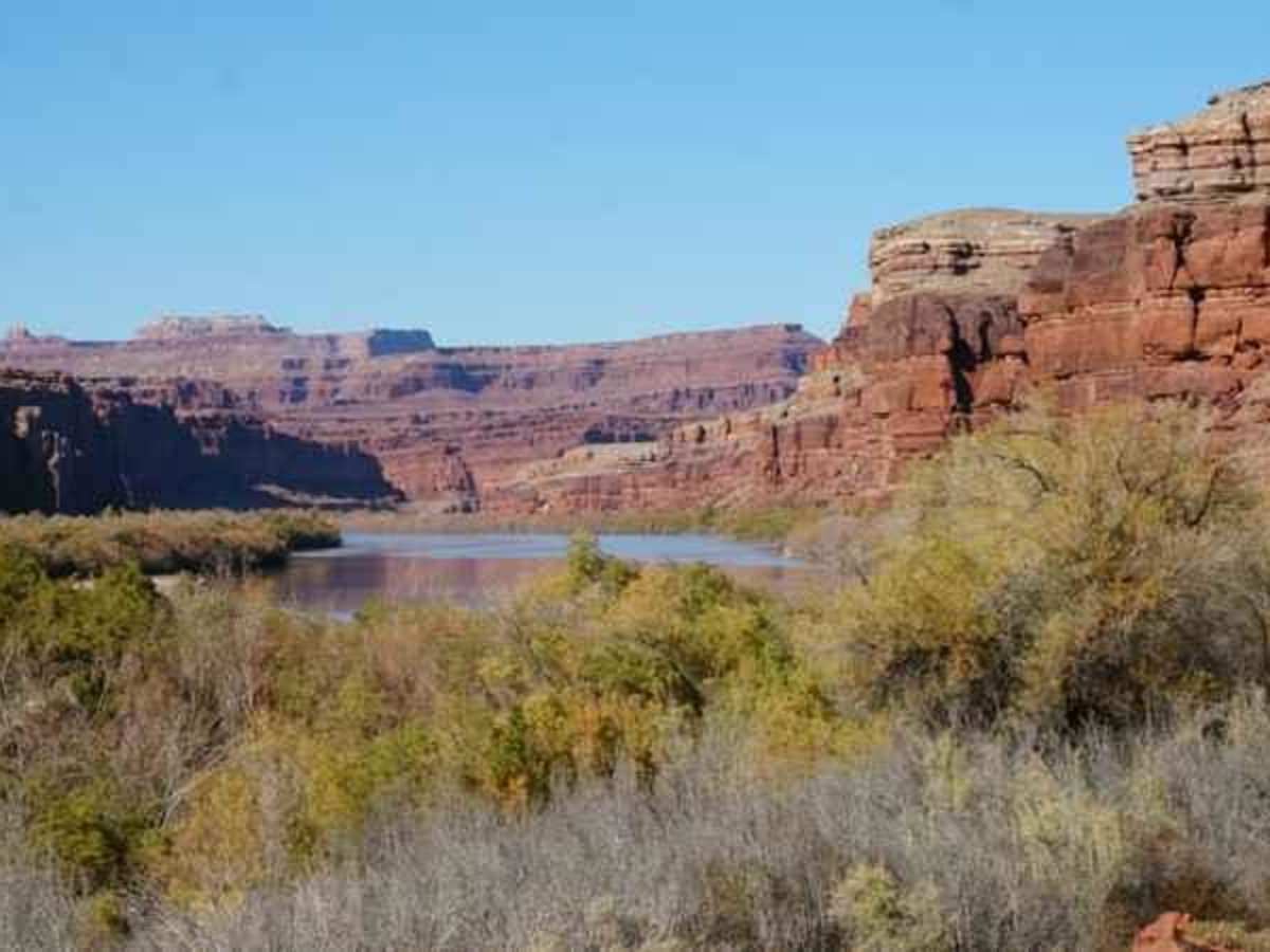
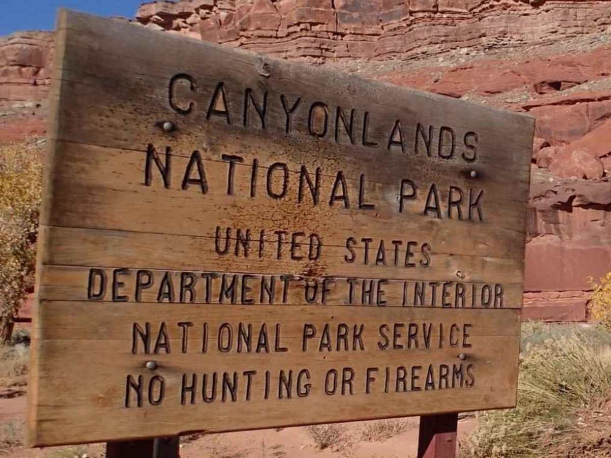
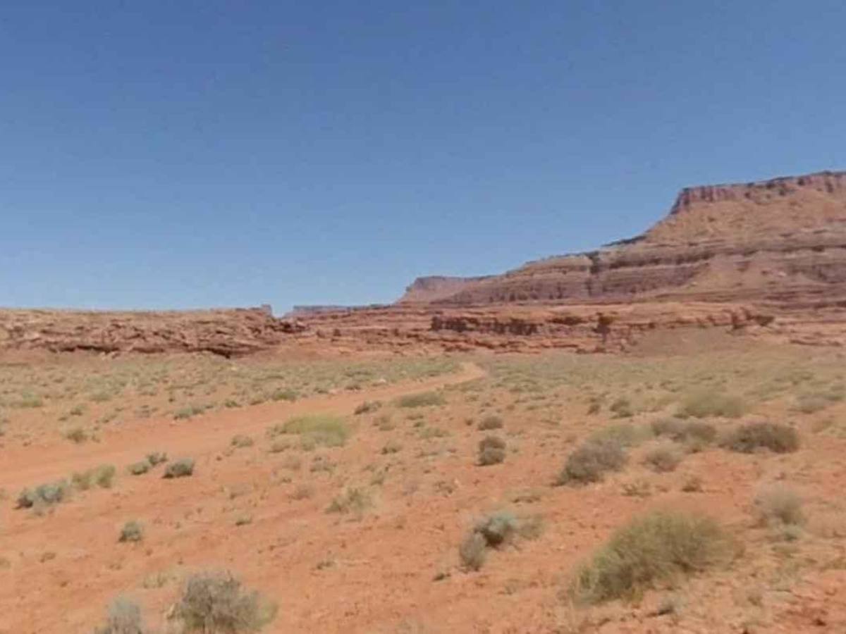
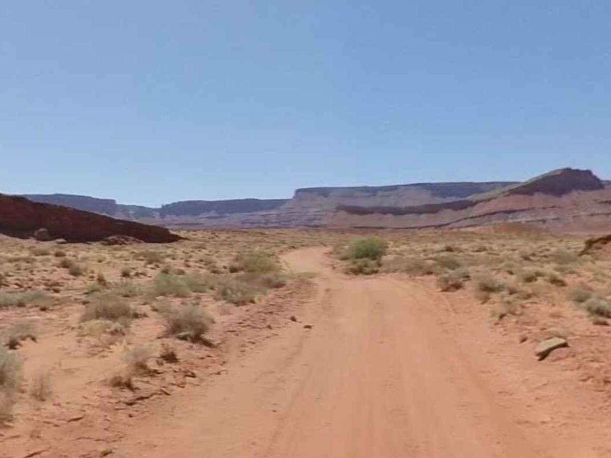
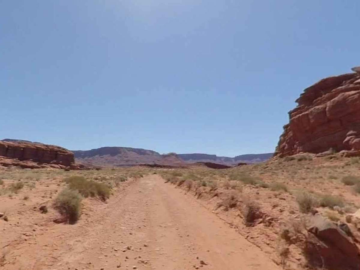
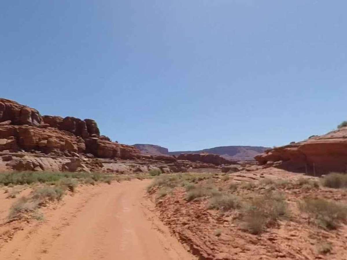
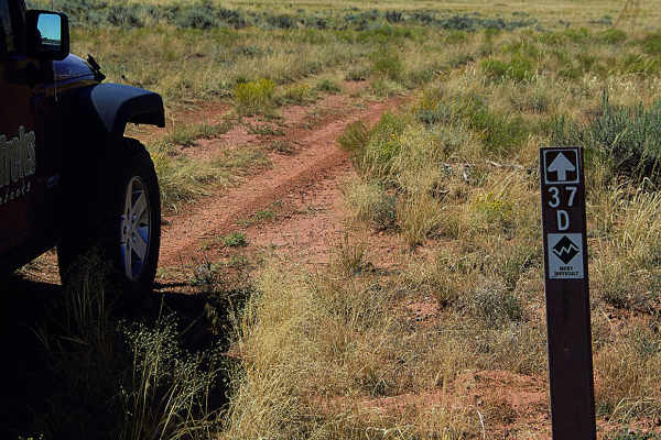
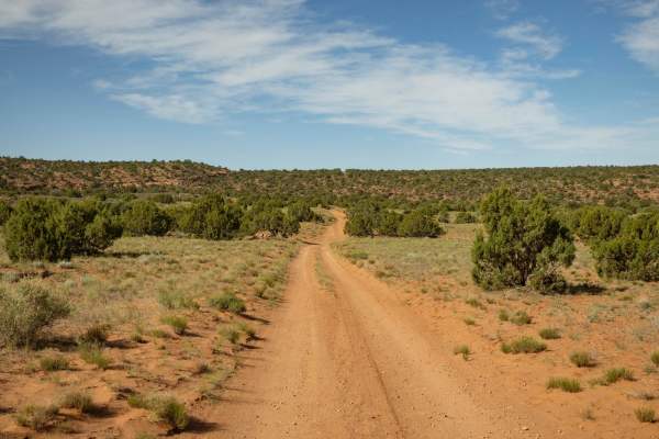
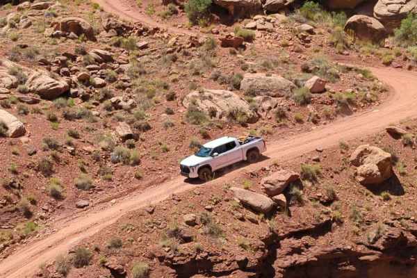
Lockhart Canyon - CR122 is a 5.4-mile (11-mile round trip) out-and-back trail rated 3 of 10 located within the Bear Ears National Monument and Canyonland National Park. The trail runs from Lockhart Basin Road north to the Colorado River through a sandy wash and descends into the canyon as it nears the river. All vehicles are allowed within the national monument, but only street-legal vehicles (no UTV/ATVs) are allowed within the national park. The initial portion of the trail is a graded dirt road but turns to sand as it enters the canyon. Rainfall may make this road impassable and the potential for flash flooding always exists. The sand is deepest in the last half mile requiring a high clearance 4WD vehicle. The trail ends at a grove of dense vegetation above the river's edge. It is impossible to drive to the edge of the river, however, with care, it can be hiked. You can backtrack a couple hundred yards and follow the canyon wash down to the river. This is a very remote area where summer can be very hot and winters very cold. Monticello is the nearest town to the south and Moab to the north. Both communities have full services. An option from March 1st through November 1st is the Needles Outpost (38deg10'26.66"N 109deg44'30.52"W), where you can get fuel and supplies without having to go Moab or Monticello. There is no cell service in the Bear Ears National Monument.
Difficulty
Trail consisting of loose rocks, dirt, and sand with some slick rock surfaces, mud holes possible, no steps higher than 12". 4WD may be required, aggressive tires are a plus.
History
The end of this trail is the location of an old USGS camp and is approximately 1.25 miles downstream from where the Lockhart Basin Road crosses Lockhart Draw.