Trail Overview
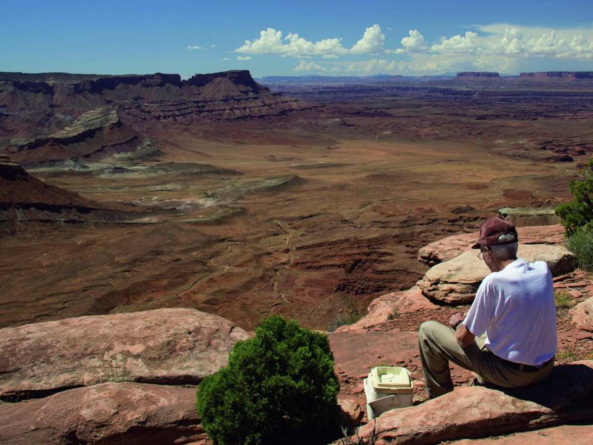
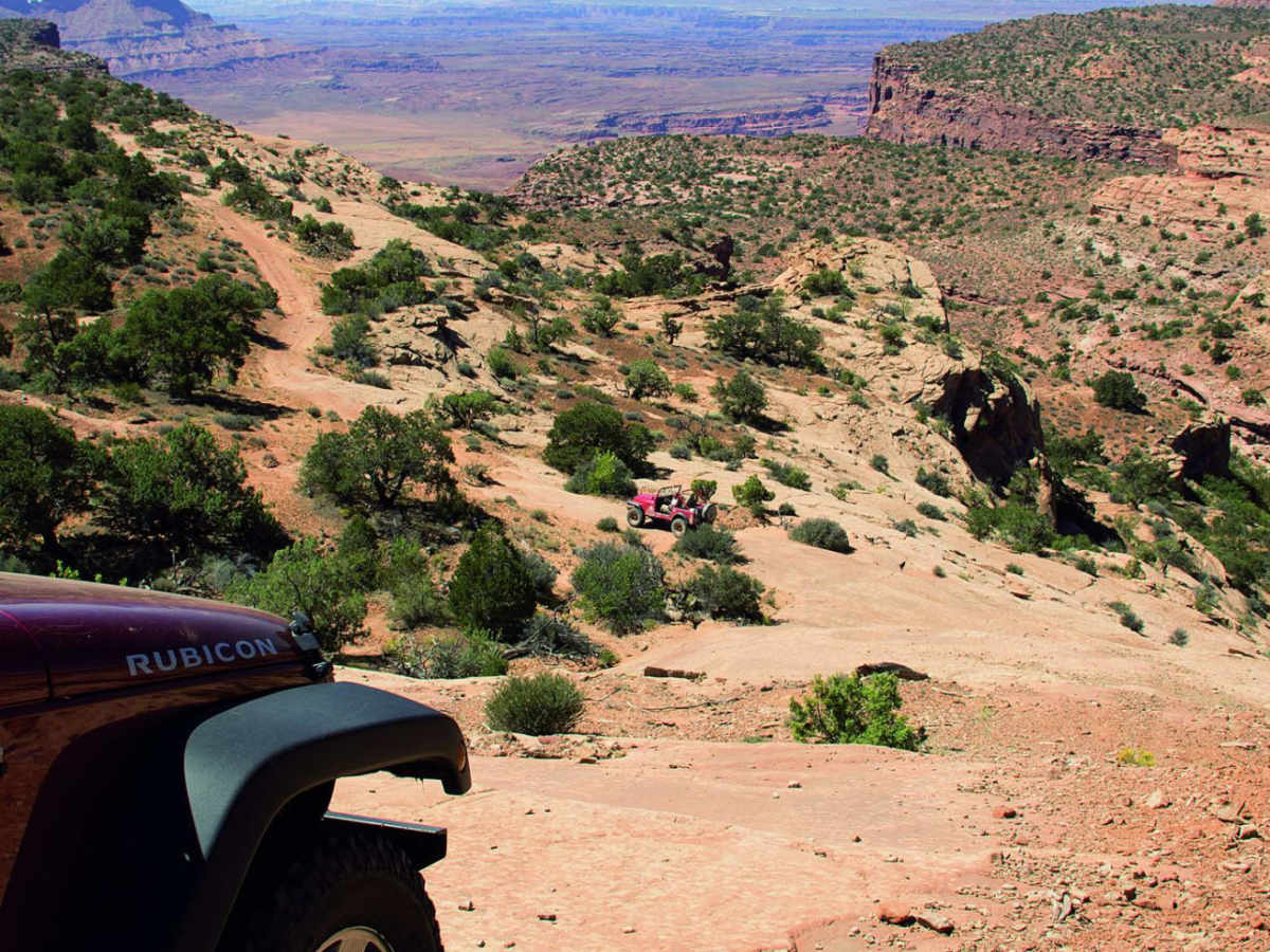
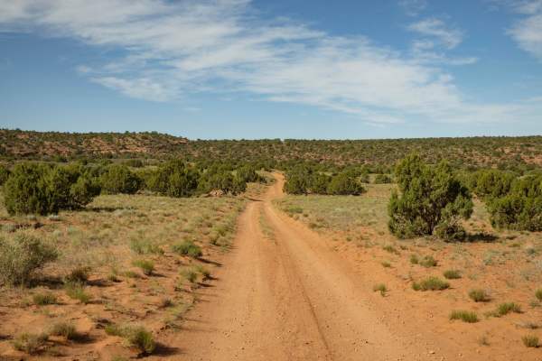
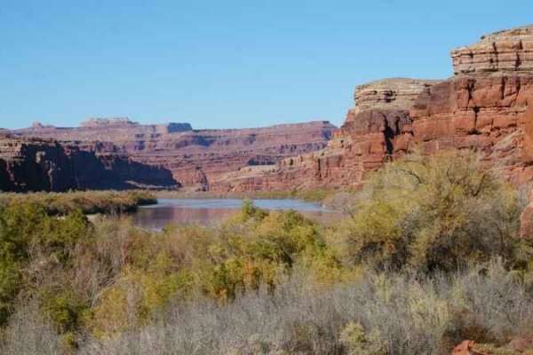
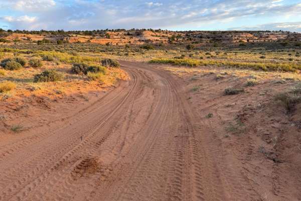
Kamikaze is a highly technical side spur off the Box Car Loop in the Canyon Rims Recreation Area south of Moab. The trail begins with a short, steep stairstep descent that demands precise tire placement and high ground clearance. Immediately following this drop, drivers must navigate a long, smooth slickrock slope which eventually leads onto a scenic shelf road winding along the canyon rim.
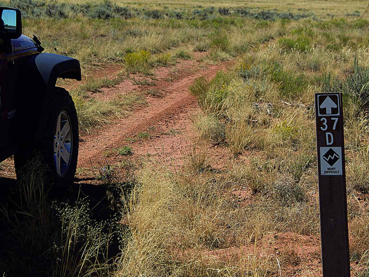
Capable, high-clearance 4x4 vehicles with aggressive tread can complete the descent with an experienced spotter, though a rear locking differential is highly recommended to successfully climb back up the steep ledge obstacles on the return trip. Because the trailhead is located near the exit of Box Car Loop, it integrates seamlessly into a full day of riding. To reach the trail from Moab, drive south on Highway 191 for 32 miles, turn right onto Needles Overlook Road, bear right toward Anticline Overlook after 15 miles, and look for the left turn onto road 37D after another 7.1 miles of gravel.
Difficulty
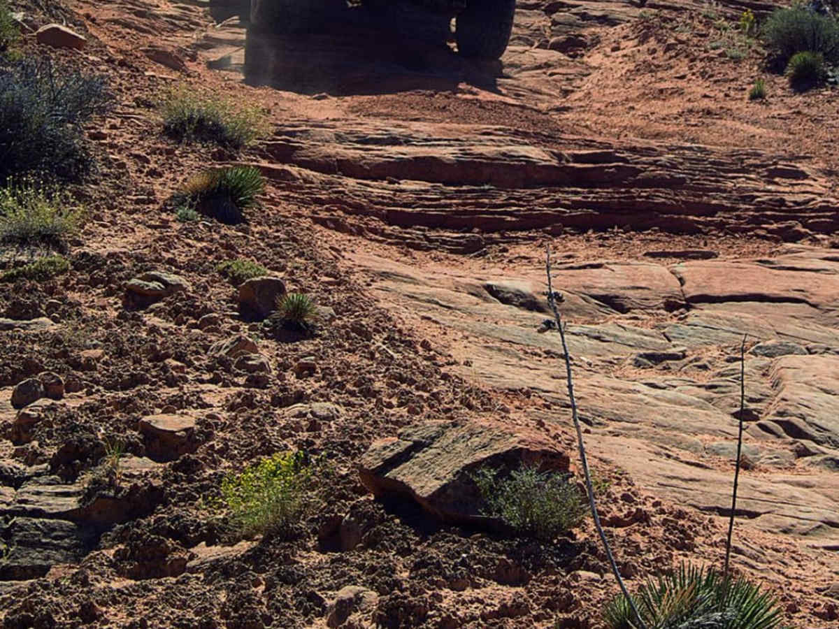
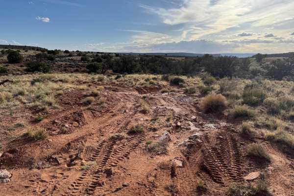
Difficult. Hardest part of trail is the initial short stairstep descent. This is followed by a longer smooth slickrock descent, which has a higher pucker factor, but is not as difficult. Aggressive, stock, high-clearance 4x4 SUVs can do this trail with experienced driver. Rear locker helps coming back up the steep stairsteps (pictured above).

 Offroad