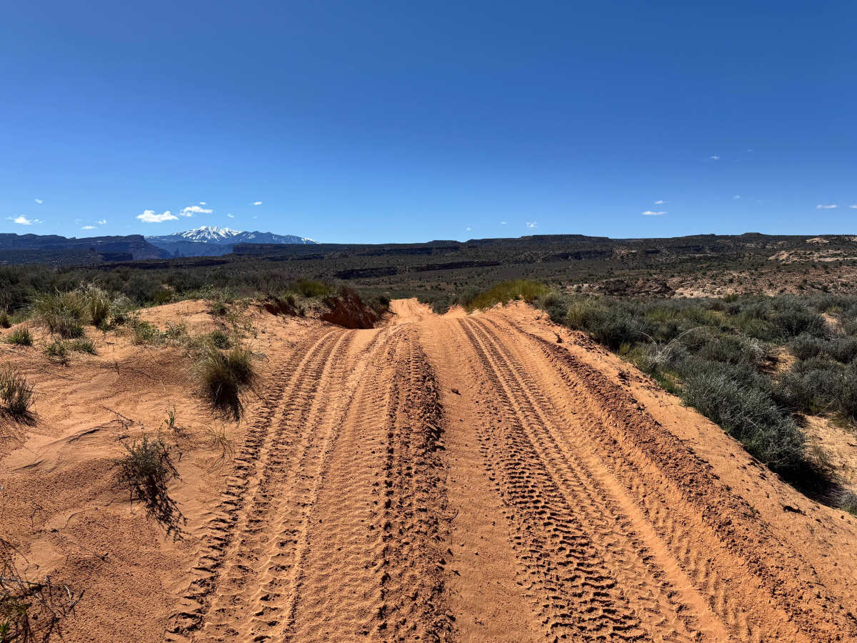
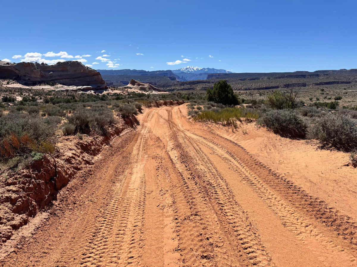
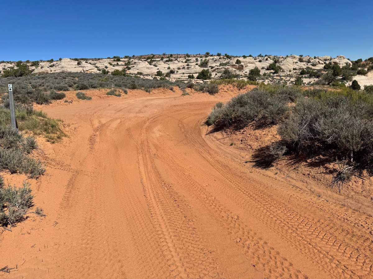
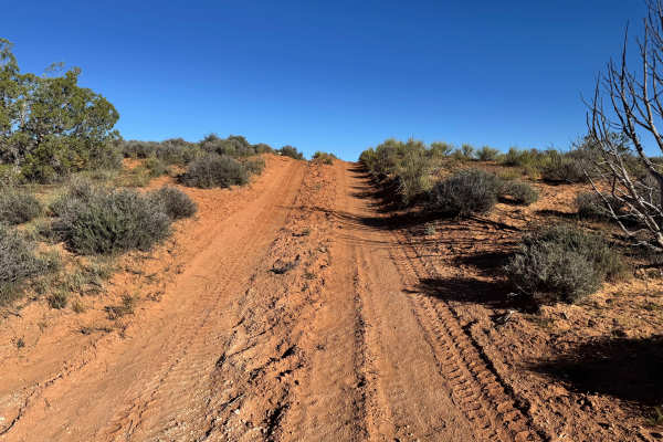
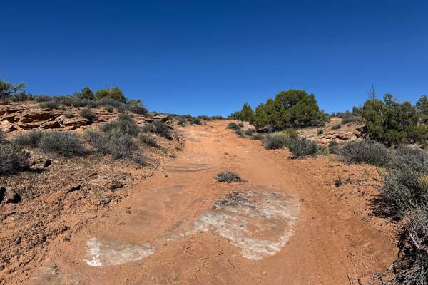
Trail Overview
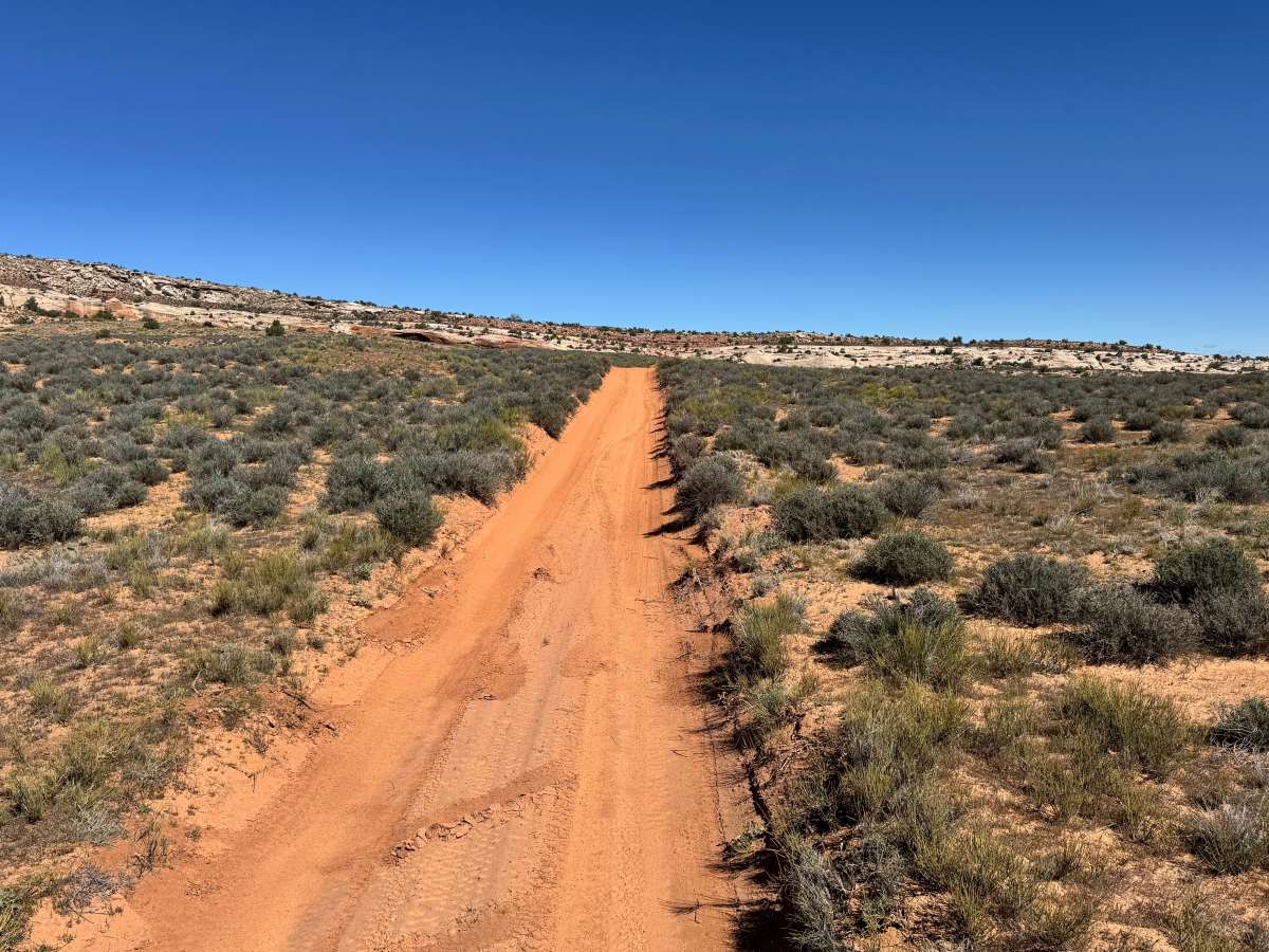
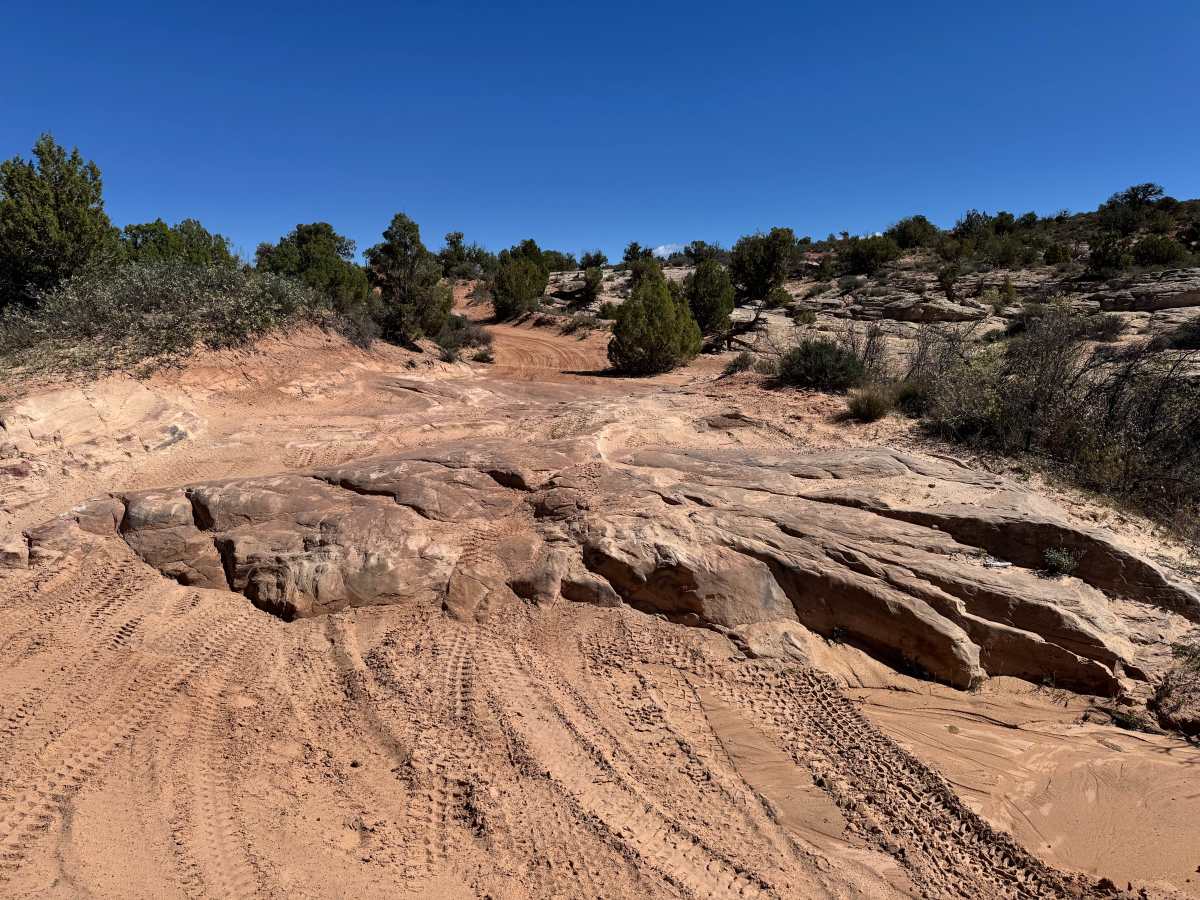
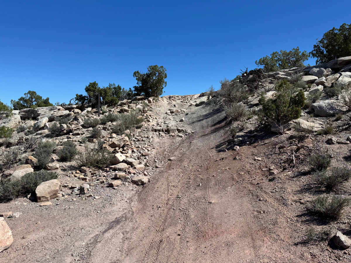
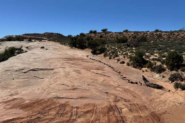
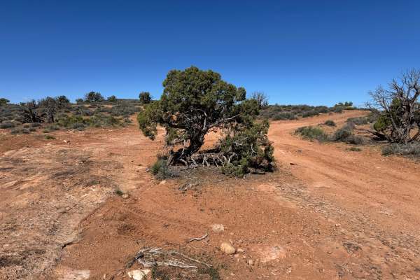
Non-Resident OHV permits apply to ATVs, UTVs, and dirt bikes. Plated street-legal vehicles typically do not need one on legal motorized routes. Part of the legendary Kokopelli Route, Yellow Jacket Canyon delivers a rewarding mix of scenery and technical driving as it links Dome Plateau Upland with Owl Draw. The southwest portion begins with soft sand and sweeping views of the La Sal Mountains rising in the distance. As the trail heads northeast, drivers encounter a series of slickrock ledges from 1 to 2 feet tall, with optional lines reaching 3 to 4 feet for those seeking a bigger challenge. Midway through, the route transitions onto white slickrock before climbing a steep, rocky hill scattered with loose stone and ledges. The trail then drops into a low clay basin that can develop deep mud pits when wet. One final rocky climb with ledges up to 14 inches leads out toward Owl Draw.
Difficulty
Yellow Jacket Canyon is best suited for high clearance 4WD vehicles with low range and drivers comfortable with technical obstacles. The sandy southwest section is relatively easy in dry conditions, but traction can become an issue in soft sand. Difficulty increases significantly in the middle and northeast sections, where multiple slickrock ledges, optional 3 to 4-foot climbs, steep rocky hill climbs, and loose terrain demand careful tire placement and momentum control. The clay lowland can become impassable when wet due to mud pits and slick surfaces. Skid plates, tires with good tread, and prior off-road experience are strongly recommended.
History
Dome Plateau sits within a region shaped by erosion, mining history, and early backcountry travel routes outside Moab. Today, the trail system is popular with off-road travelers looking to experience classic red rock scenery beyond the busier in-town trails.