Trail Overview
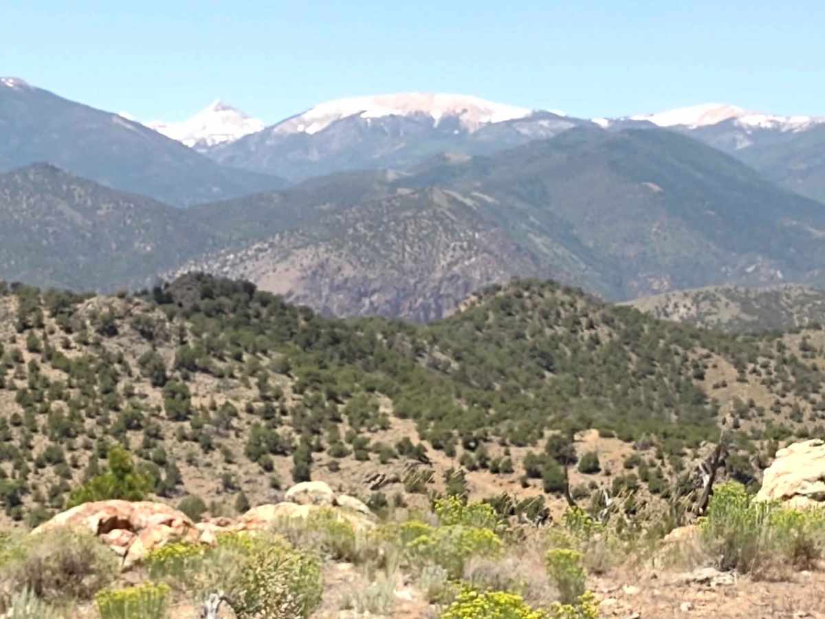
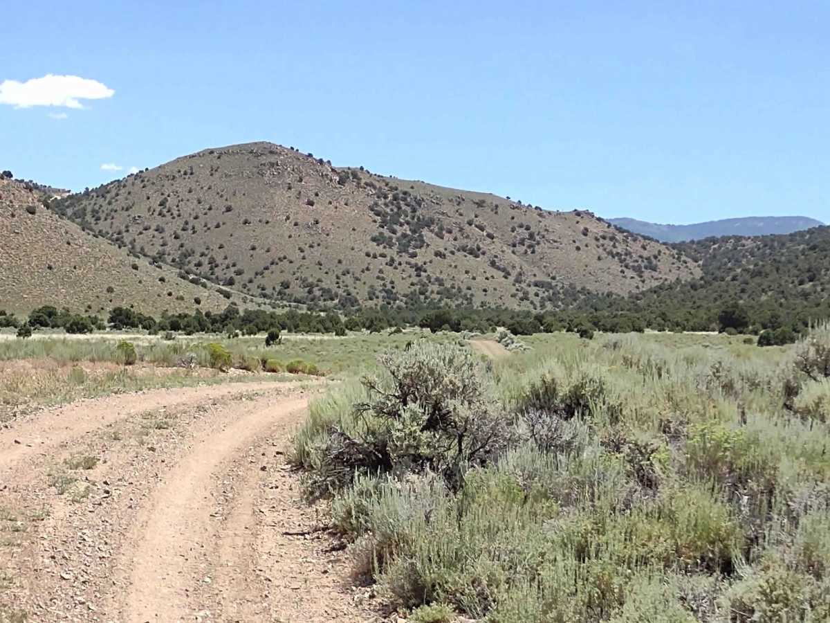
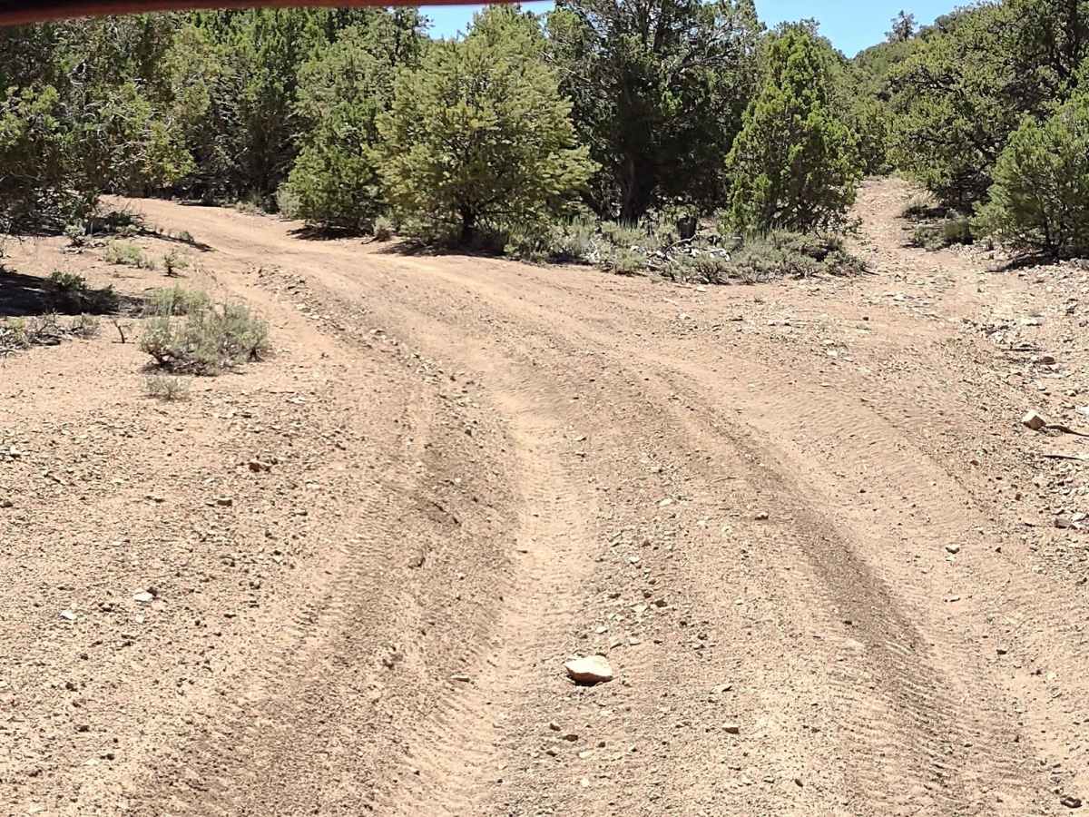
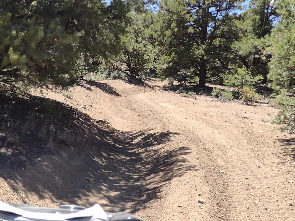
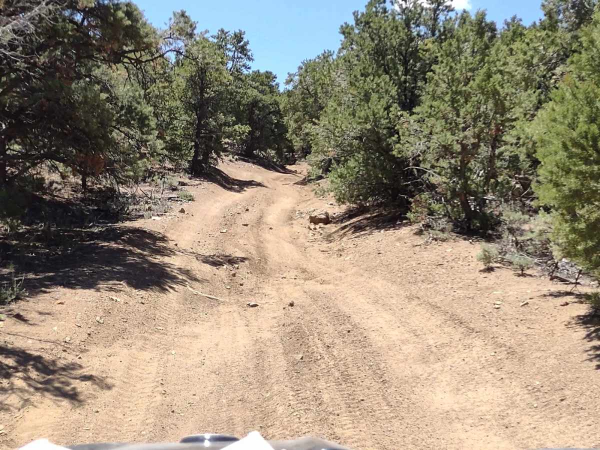
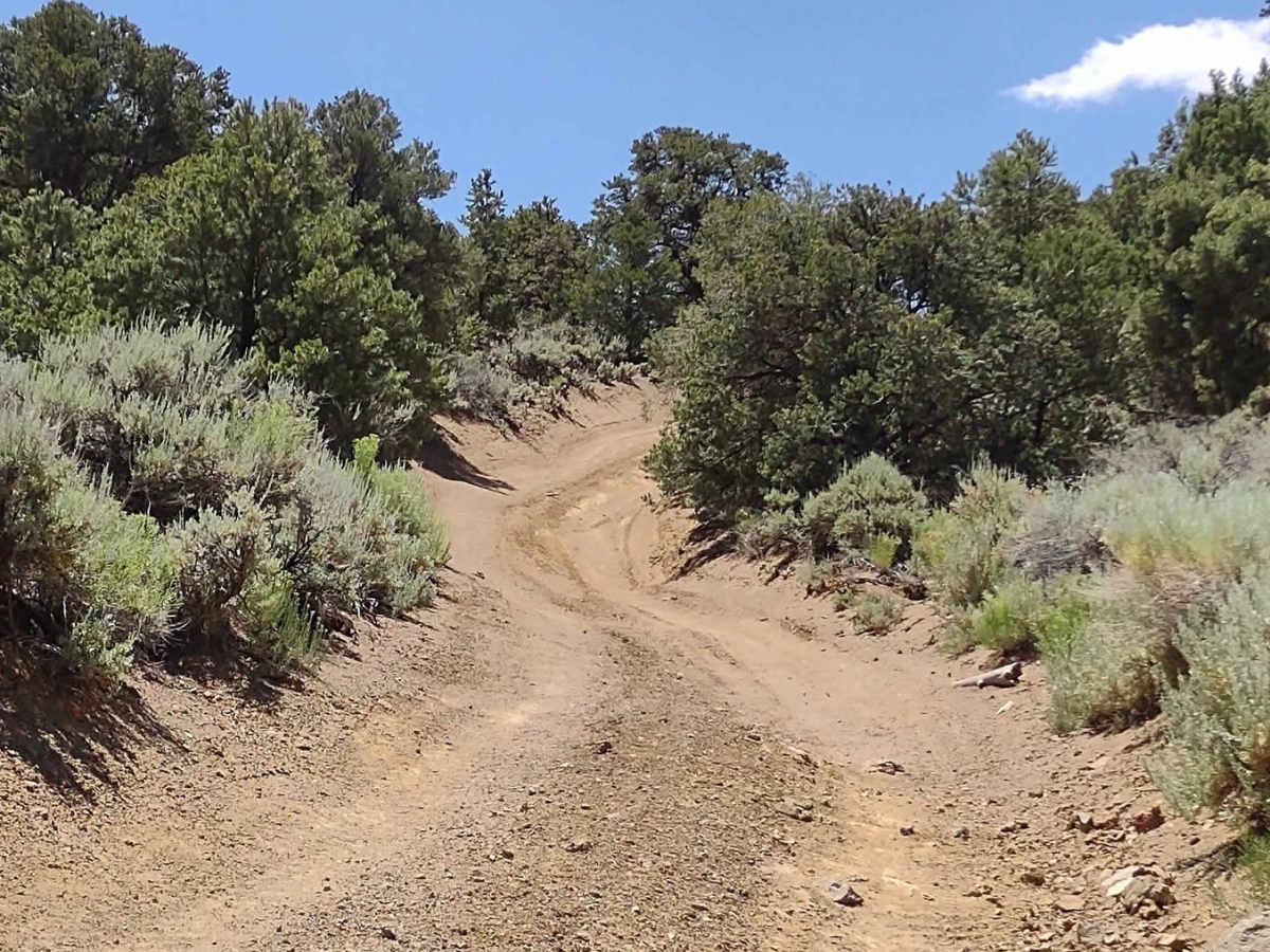
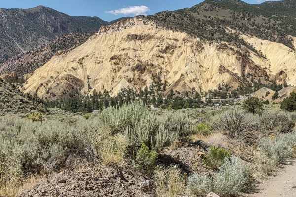
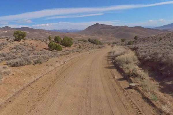
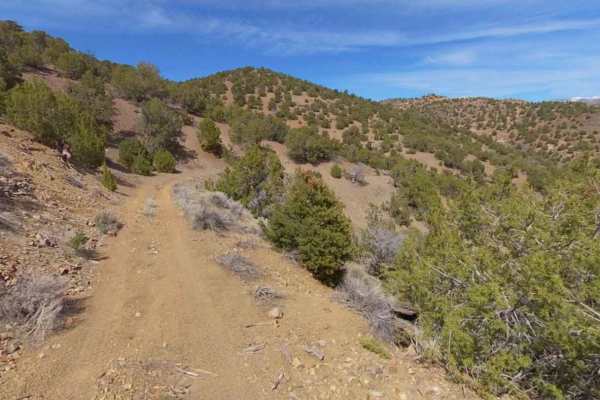
This 6-mile trail moves basically east/west across southern Sevier County, Utah, crossing BLM land, as well as private land owned by Timberline Properties and Crown Mines. Access is granted as the mines are no longer operational. On the east end of the trail, you're on a trail named Flat Top Road on the BLM map, and further west you are on "Poverty Flat," according to the BLM map. However, there are several of these two-track trails in this area called Poverty Flat. The trail shows signs of running water causing erosion and off-camber driving in places. It's rocky in some sections, requiring good ground clearance. It's narrow but room on the side if you should need to let an oncoming vehicle pass. You go up and over some of the hills, giving fantastic views of the mountains beyond and the valleys below. Don't forget to get your online education course certificate to off-road in Utah, as well as your OHV sticker.
Difficulty
Areas of erosion cause off-camber driving for short stints, but if it's dry, it's an easy trail. If it's muddy or wet, it will be more difficult as there aren't enough rocks to give traction in most places.
History
This area of Southern Utah is rich in mining history, as well as dairy and cattle ranching and a sawmill operation that operated on top of the Sevier Plateau. Henry Torgerson operated a sawmill over near Monroe Peak from 1914 to 1939. The Brindley Dairy was in operation on the Sevier Plateau from 1891-1894. Old mining operations/sites can be found all over these mountains but most have no historical data.