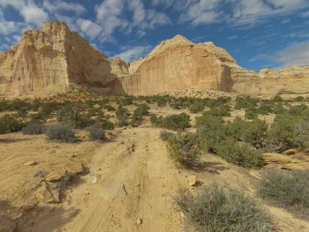
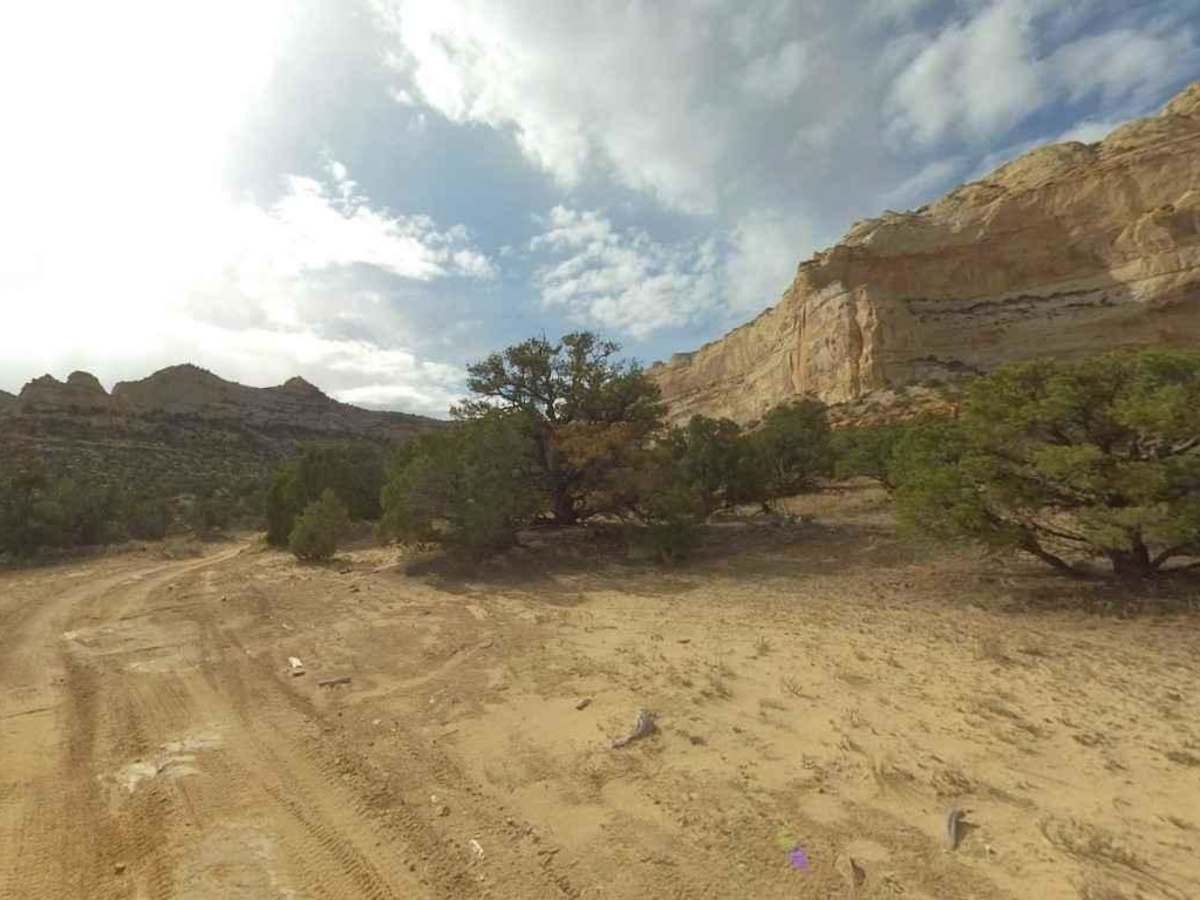
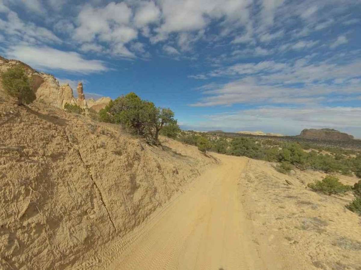
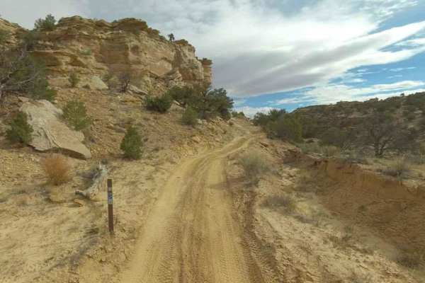
Eva Conover-BLM639

Total Miles 12.3
Technical Rating
4 Moderate
Best Time Spring, Summer, Fall, Winter
Trail Type Full-Width Road
Accessible By
Open Trail Map

Trail Overview

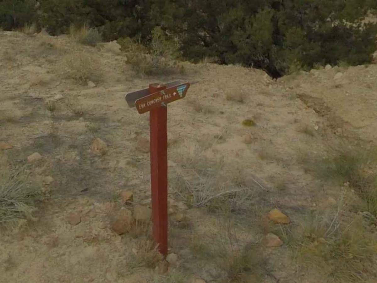
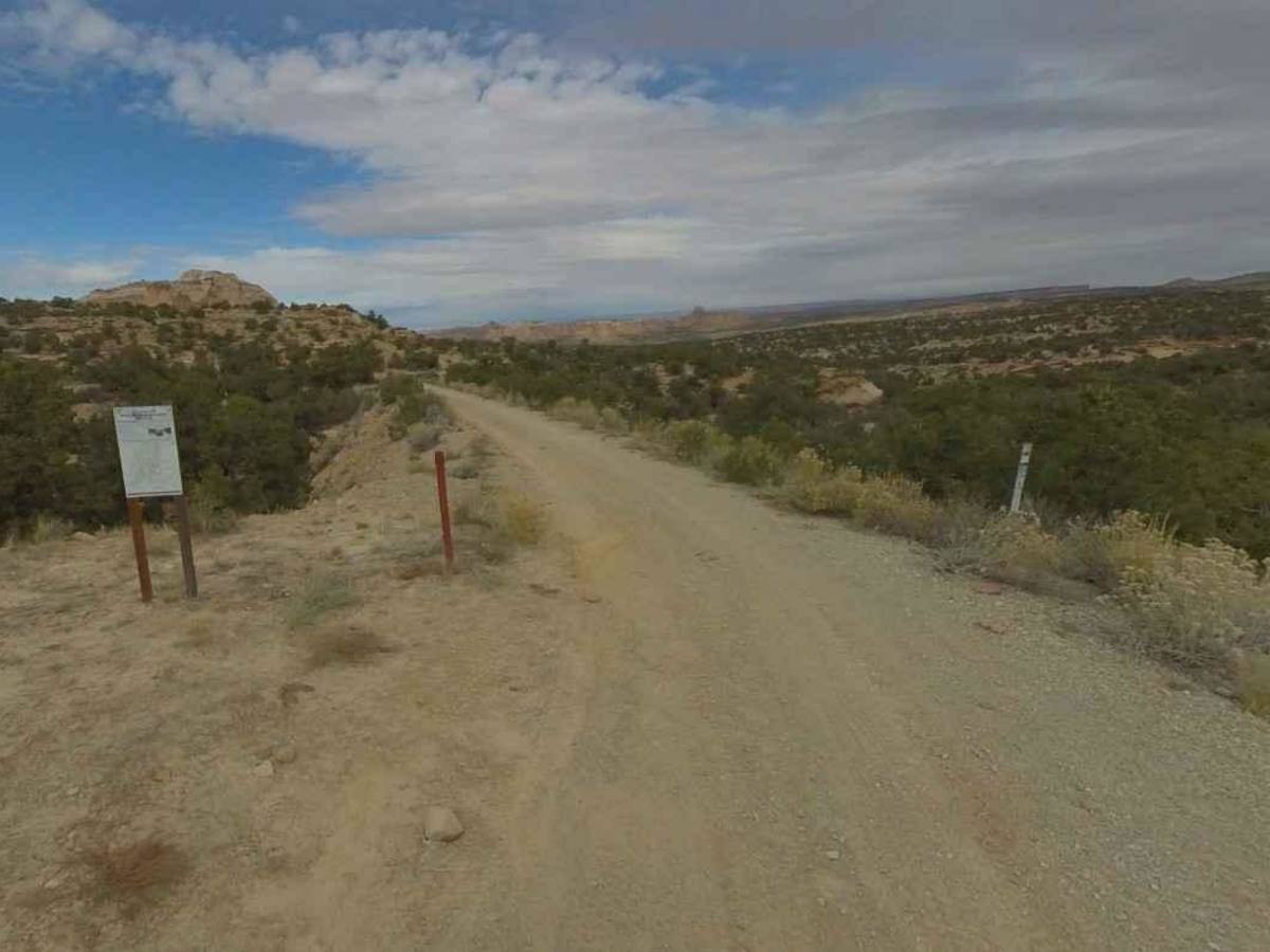
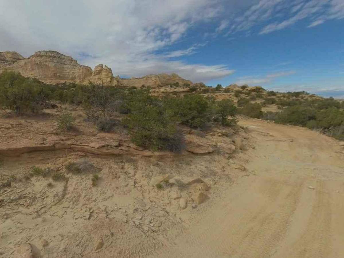
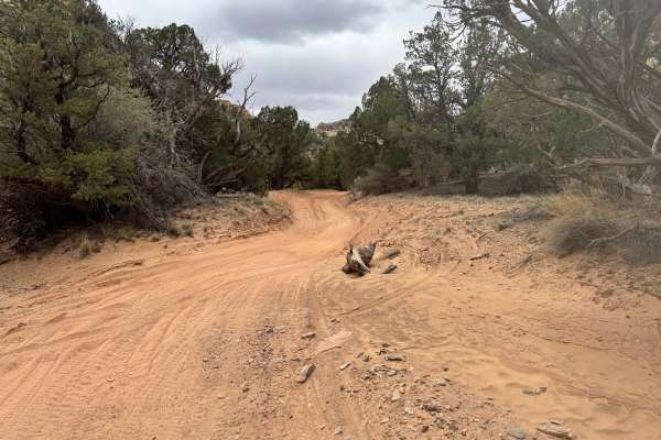
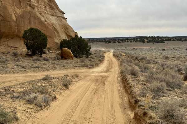
Eva Conover (BLM 639) is a 12-mile point-to-point trail rated 4 of 10 located within the San Rafael Swell north of Interstate 70. Eva Conover trail is accessible from the south end off of the Secret Mesa DOT access road or the intersection with North Coal Wash (BLM 638) and Bellevue Flats (BLM 6768) on the north end. When running this trail south to north, the trail will descend roughly 800 feet over the 12 miles. This dual track trail is mostly sand and hard-packed dirt, with some short, but steep, rocky grades. The trail offers scenic views and unique rock formations. Eva Conover trail offers the best access from Interstate 70 up to the Bellevue Flats OHV Staging Area. It is suitable for a 4WD vehicle, and high clearance is recommended for safe navigation of the rockier portions of the trail. Cell phone service is limited to the south end of the trail. The nearest services are located in Emery to the west and Green River to the east.

Photos of Eva Conover-BLM639

Difficulty

This trail includes rocky sections, loose terrain, and small rock ledges that require careful driving and high clearance. Narrow stretches and limited turnaround options add to the challenge, making it more demanding than a basic dirt road. While nothing is extreme, stock vehicles may struggle in several areas.

Technical Rating

4

Status Reports

Add Status Report
Joe Schoolcraft
Dec 12, 2025
Open
This trail is definitely not a 2. Definitely needs to be changed to a 4 at minimum. Super fun nonetheless though!
Matt Thomas
Nov 25, 2025
Open
Add me to the list of people who don't buy the trail rating. This is without a doubt a 4/10 trail. Plenty of slow spots, rock ledges, and obstacles that demand high clearance. My Tremor has 35s and it was a good thing it did. Most stock vehicle would struggle through these angles and ledges. Lots of exposed rock, some loose, sharp rocks scattered about and some steepish climbs and descents and some tight corners. The trail was narrow but we were the only ones in the whole area for two days. Nowhere Harley to turn around.
Miles Atkinson
Aug 31, 2025
Open
Going north to south, fun wash drive transitions into classic Swell trail with nothing crazy on the trail, but crazy awesome views all around. Contrary to the official description, I would not recommend a standard-clearance light trailer on this trail. Mostly due to the first climb out of the wash and some tight switchbacks on the southern portion.
Kristian Brown
Jun 21, 2025
Open
The northern section that follows the wash is a simple, flat, and washboarded sandy road. On the southern end, it becomes rockier as it climbs up and out to I-70. Nothing super challenging, but you would definitely want high clearance for that section as there are some ledges, rocks and sharp turns.
Brian Scott
May 26, 2025
Open
Please change your rating from green to blue. Not a green trail. Not hard with the right vehicle, but still... green? Narrow, ups, downs, ledges. Met the son of Eva Conover on the trail. That was cool. Change the rating...
Ben Easley
May 15, 2025
Open
Not sure who rated this trail a 2, but it’s definitely a 4. Plenty of rocks, loose and narrow terrain, and smaller rock steps along the way.
Jerry Hutchins aka "Photojeeper"
Apr 08, 2025
Open
After half a days drive from St. George, UT. I did Coal Wash (see that report). I decided to take this trail. Why on the map is shows both names. This was a slow trail, mostly 4hi but with 4lo sections. Since I was towing a Tentrax trailer I needed my lockers now and then for safety. At 5pm decided to call it a day and found a nice turnout campsite overlooking the gorge. I was only 4 miles from I-70; but I used 3/4 of a tank and still wanted to do more trails the next day but with fuel that I had with me and not knowing what the rest of the trails were like I got aired up added 3.5 gallons of gas and headed to "site see". Will be back with better planning.

Eva Conover-BLM639 Trail can be accessed by the following ride types:

  • Single Track
  • 50 Inch
  • 60 Inch
  • High Clearance
  • Full Width

Eva Conover-BLM639 Map

The onX Offroad Difference

onX Offroad combines trail photos, descriptions, difficulty ratings, width restrictions, seasonality, and more in a user-friendly interface. Available on all devices, with offline access and full compatibility with CarPlay and Android Auto. Discover what you're missing today!

Open Trail Map