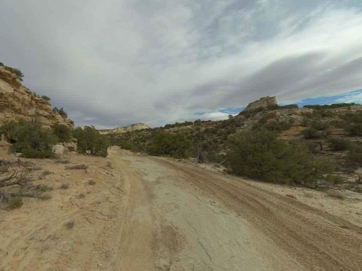
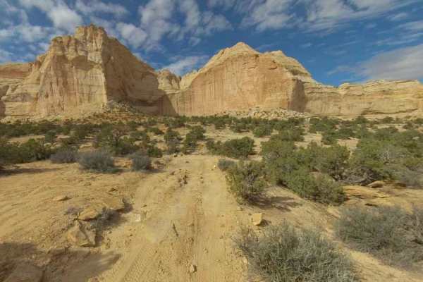
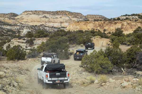
BLM639

Total Miles 1.4
Technical Rating
3 Easy
Best Time Spring, Summer, Fall, Winter
Trail Type Full-Width Road
Accessible By
Open Trail Map

Trail Overview

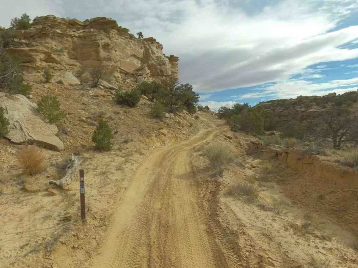
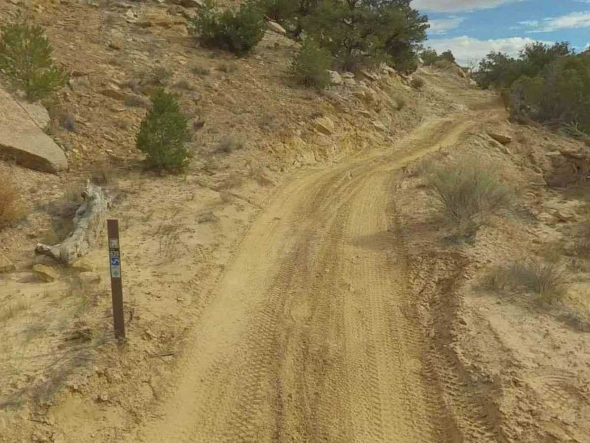
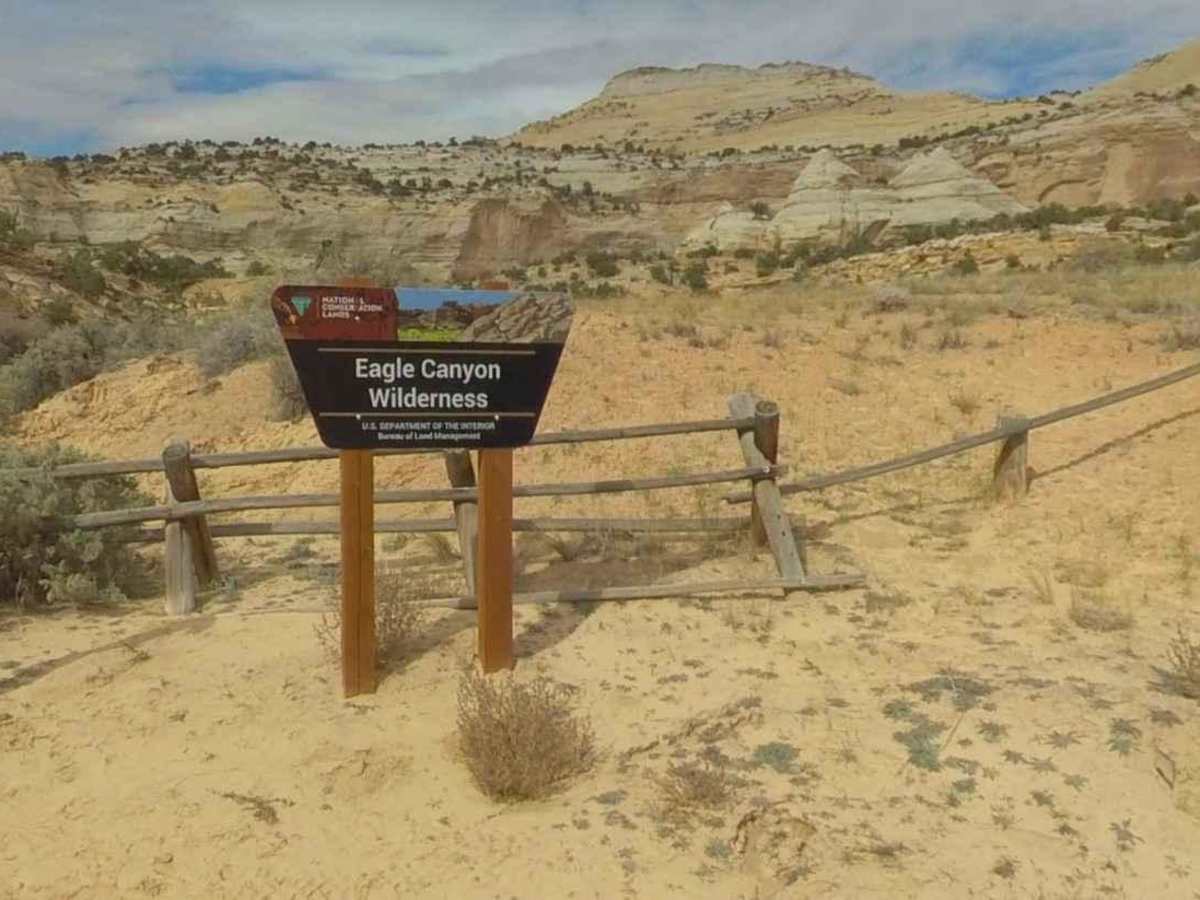
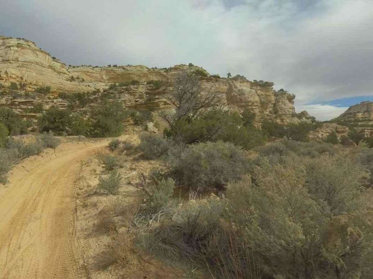
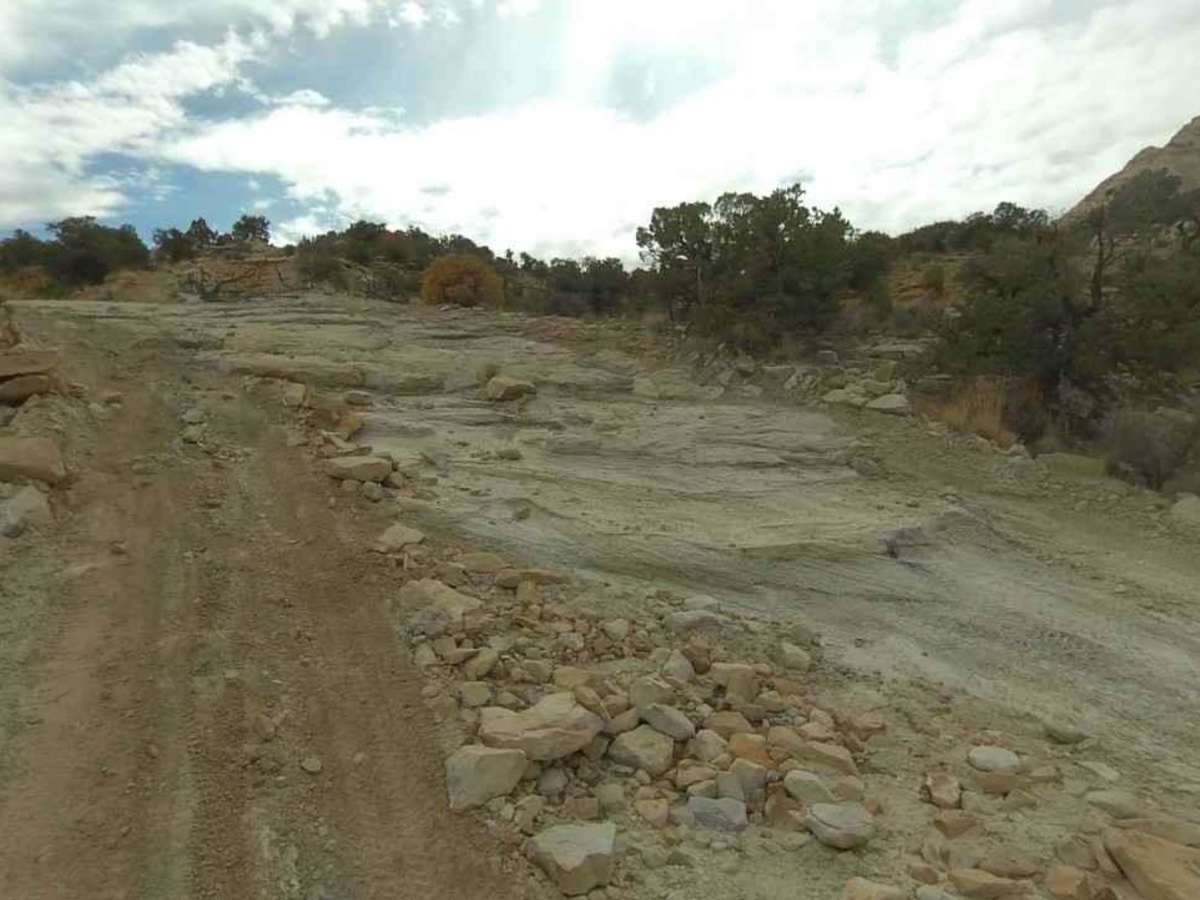
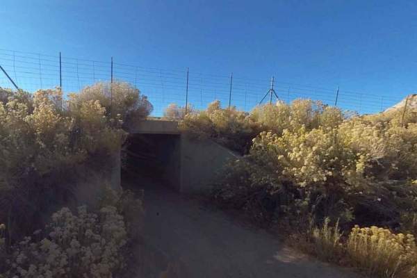
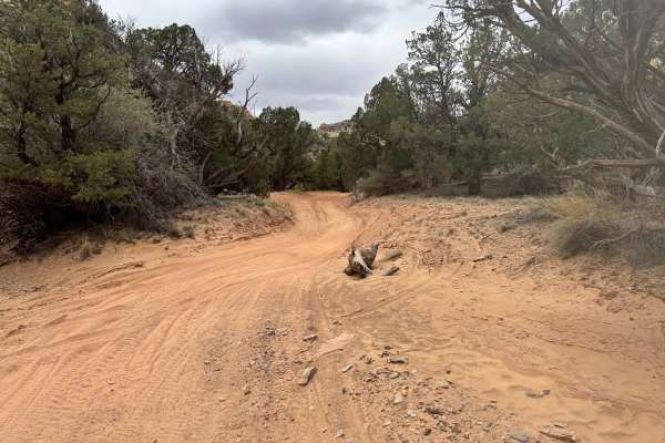
BLM639 is a 1.4-mile point-to-point trail rated 3 of 10 located in Emery County and is part of the San Rafael Swell BLM-managed trail network. This is a dual-track trail suitable for all OHV recreational vehicles. The trail runs between the intersection of Eagle Canyon Trail to the west and the Utah DOT service road to the east. This trail is primarily used for those wishing to access the Eva Conover and Devil's Race Track trails. There is a small section on the trail where the option is to go up or down several small rock steps or to skirt this obstacle. Trailer parking can be found at the Justensen Flat OHV Staging Area on the west end of the Secret Mesa-BLM648 trail roughly 2 miles from the intersection with Eagle Canyon. Stay on the trail as this is not an open recreational area. The trail runs the southern boundary of the Eagle Canyon Wilderness Area. Cell phone service may be available but was intermittent at best. The nearest services are located either east or west along Interstate 70.

Photos of BLM639

Difficulty

Trail consisting of loose rocks, dirt, and sand with some slick rock surfaces, mud holes possible, no steps higher than 12". 4WD may be required, aggressive tires a plus.

Technical Rating

3

Status Reports

Add Status Report
Matt Muir
Apr 19, 2026
Open
Certainly not an easy trail, call it much closer to 5. I'm a 3inch lift, 32's grand cherokee and I was stuck with very specific lines in many areas. Had to make a few rock ramps. Never bottomed out but extremely close.
Beau Dorius
Jan 30, 2026
Open
5 out of 10 technical
Paul Rickert
Oct 05, 2025
Open
This portion of the trail coming from the Eagle Canyon Bridges was and is not for beginners. You will 4x4 capability, especially if you are heading out of the canyon. For someone not knowing if our truck was capable to do this, it was certainly a fun trail to run.
John Nobriga
May 24, 2025
Open
Some steep inclines/declines, loose rock, rock face I have about 16" clearance and bottomed out a few times, definitely considered a more difficult trail with a few butt pucker moments. has some outstanding views. slow trail very fun our plan was to take the Eva Conover (BLM639) from there (also definitely a more difficult trail), turned around halfway down Eva Conover (BLM639) because of fuel concerns

BLM639 Trail can be accessed by the following ride types:

  • Single Track
  • 50 Inch
  • 60 Inch
  • High Clearance
  • Full Width

BLM639 Map

The onX Offroad Difference

onX Offroad combines trail photos, descriptions, difficulty ratings, width restrictions, seasonality, and more in a user-friendly interface. Available on all devices, with offline access and full compatibility with CarPlay and Android Auto. Discover what you're missing today!

Open Trail Map