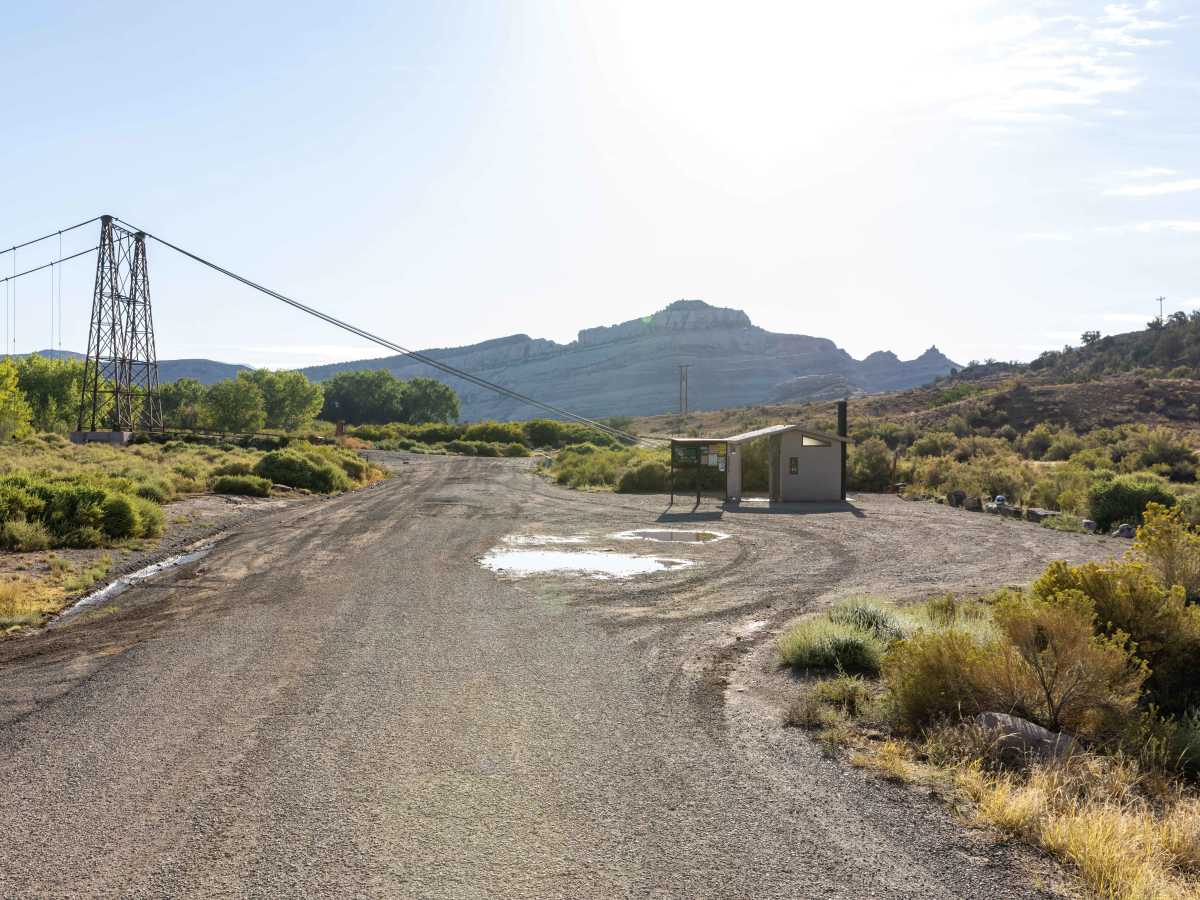
Trail Overview
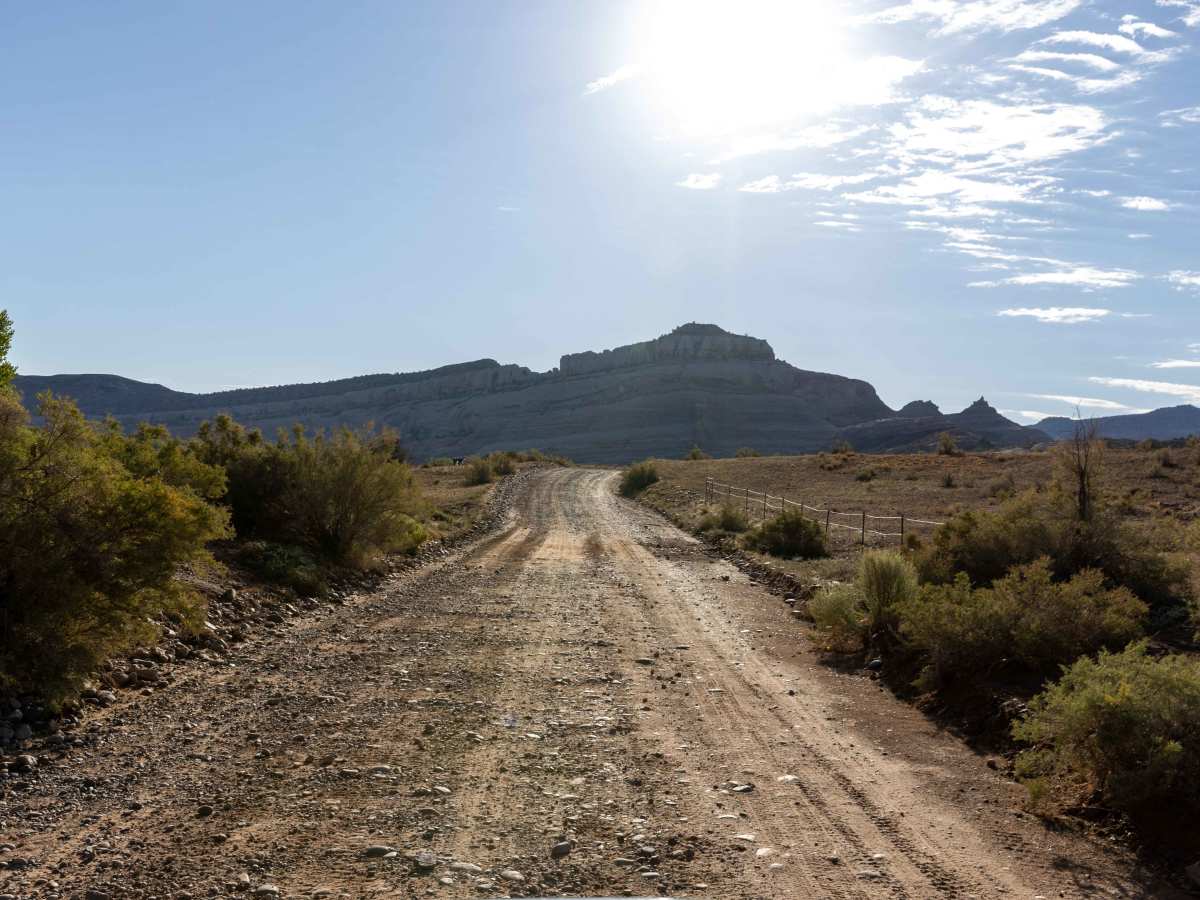
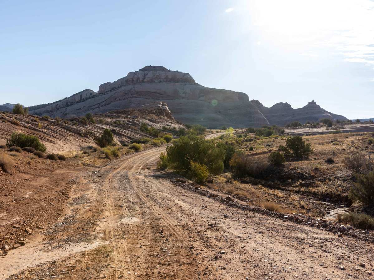
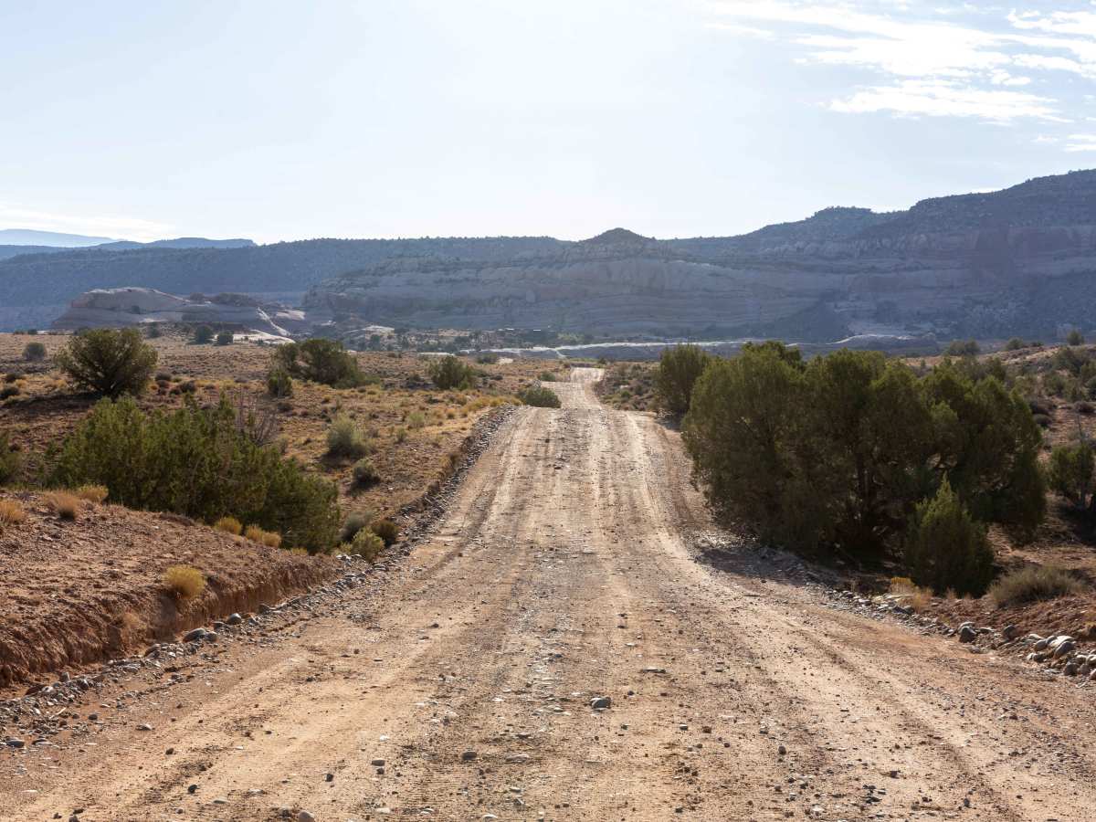
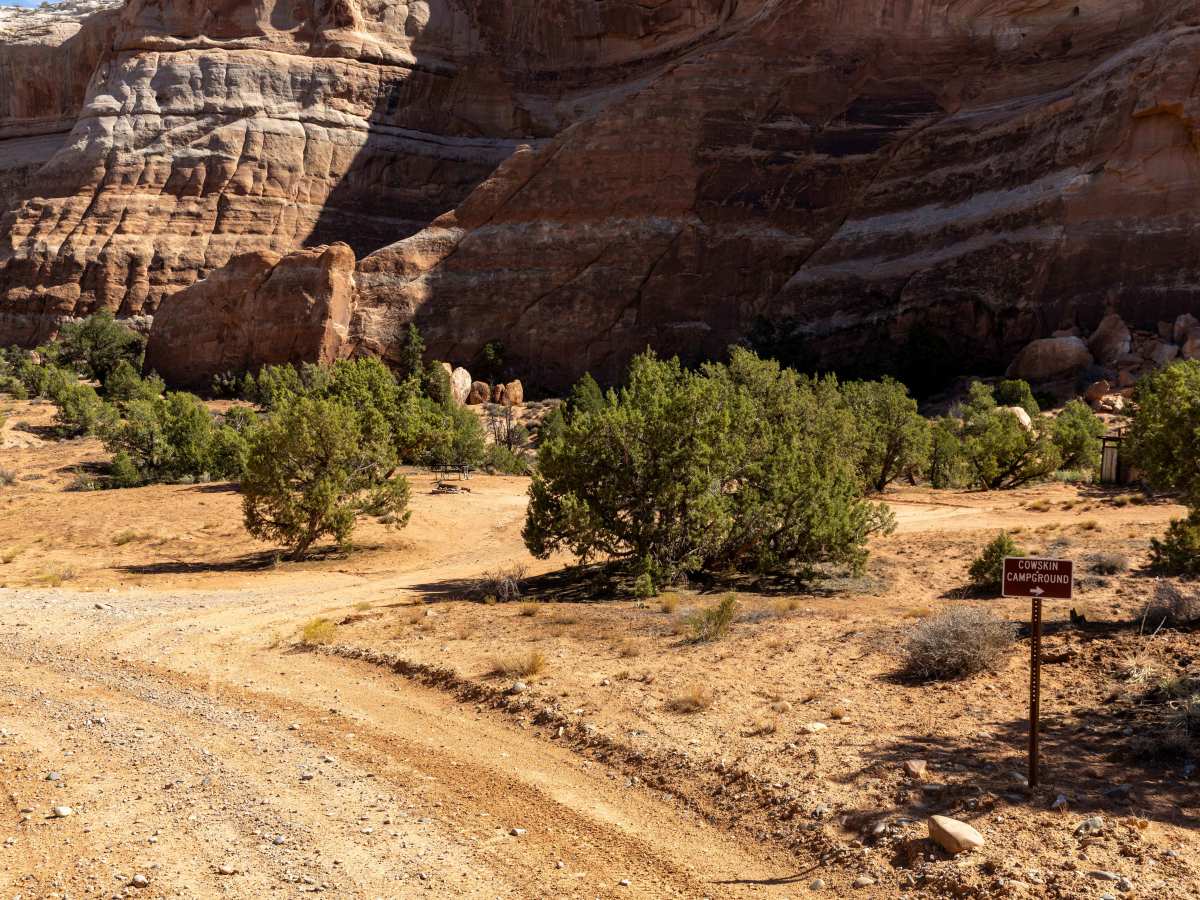
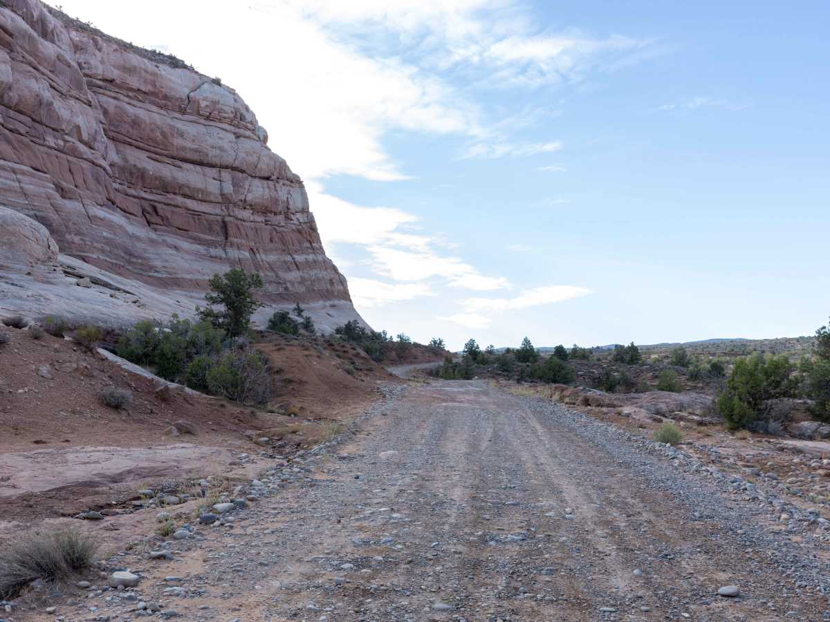
Delores River Overlook starts as a wide route that narrows once you turn onto the downhill that takes you down to the overlook, transitioning into long, rocky downhills with exposed ledges and rocks throughout. The trail includes several wash crossings with steep entrances and exits, along with areas affected by erosion. While the terrain is rugged, there are no major obstacles, and vehicles with 33-inch tires were able to navigate without issue.
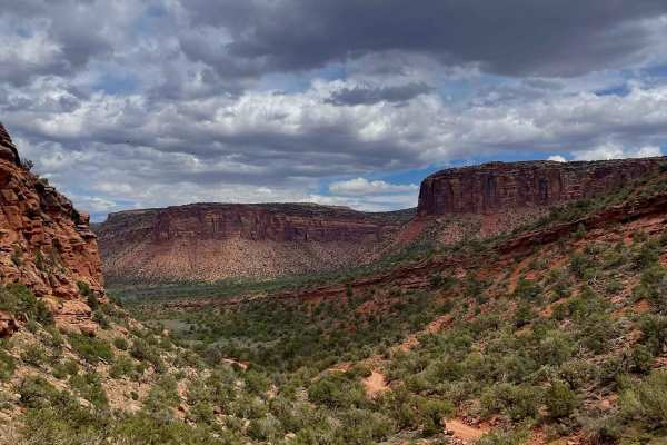
The route provides views of the surrounding canyon landscape, with typical desert vegetation including junipers and desert shrubs. Wash crossings follow ephemeral streams that flow after seasonal rains, shaping the rocky terrain. The trail’s narrow sections and ledges highlight the erosive forces that formed the river canyon over time.
Difficulty
This is an unmaintained trail that is rocky and bumpy throughout. There are no major obstacles along this trail, though some of the erosion and wash crossings have steep entrances and exits and could be up to 12 inches deep. There are also ledges and rocks on the hill leading down to the overlook, once you turn off of "Rose Garden Hill," which may become exacerbated over time and use - see photos (truck is on 33's).
History
The history of Dolores River Overlook isn't well-documented in readily available sources, but the Dolores River itself has a rich history, from ancient Ancestral Puebloan inhabitants to a significant late 19th-century Hanging Flume for gold mining and a major dam in the 1980s creating McPhee Reservoir. The river's Spanish name, "River of Our Lady of Sorrows," was given in 1765 by Juan Maria Antonio Rivera. Today, the river and its overlooks are known for recreation, especially rafting and hiking, despite challenges from past pollution.