Trail Overview
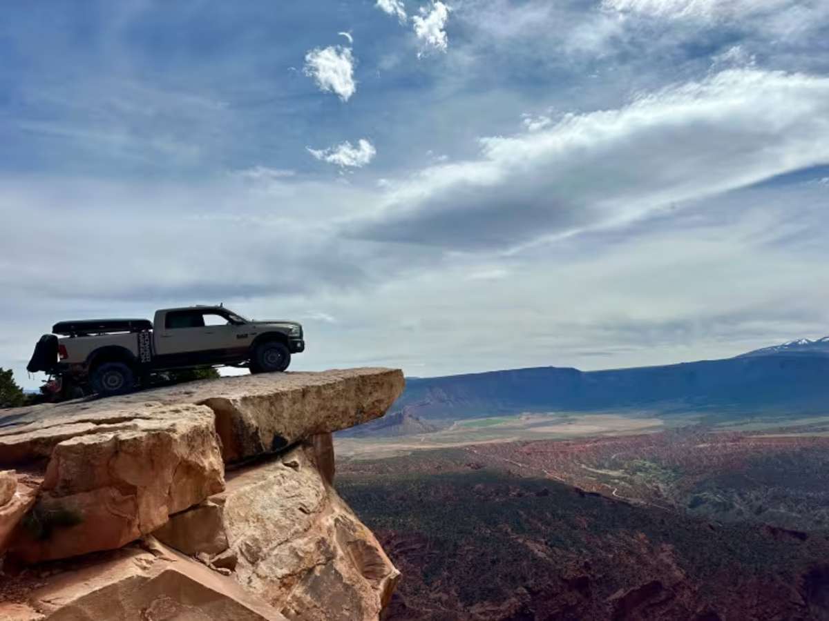
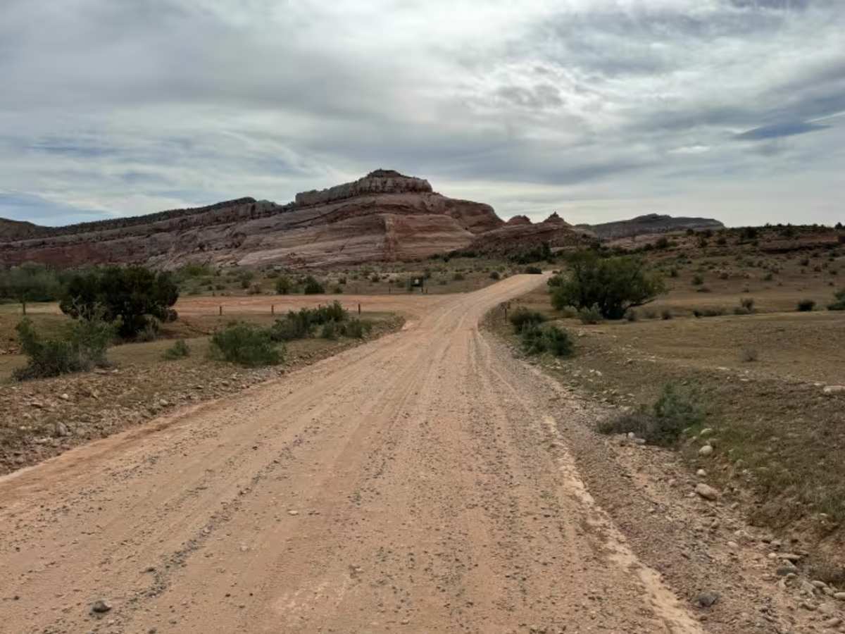
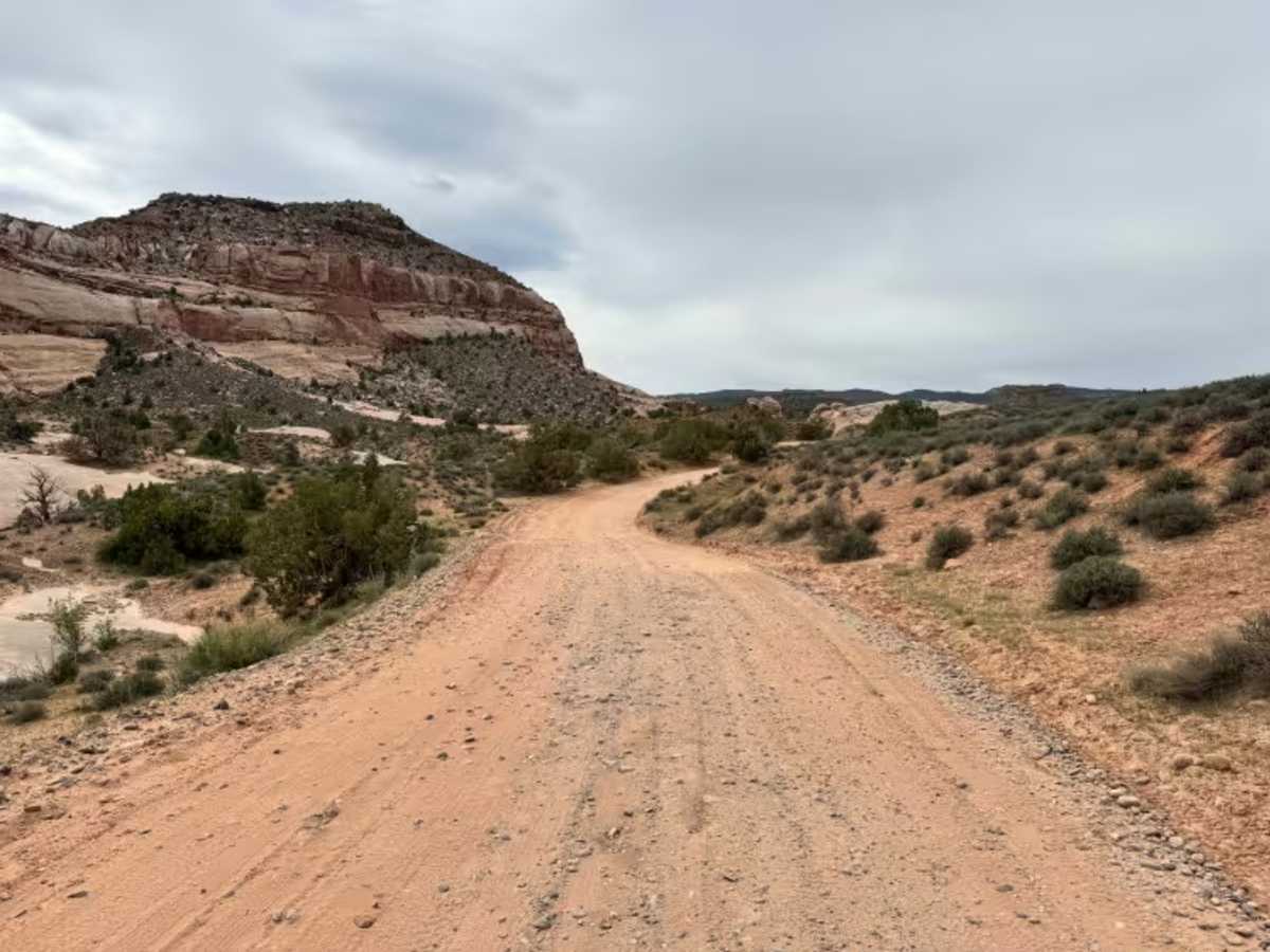
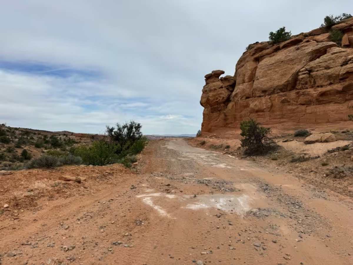
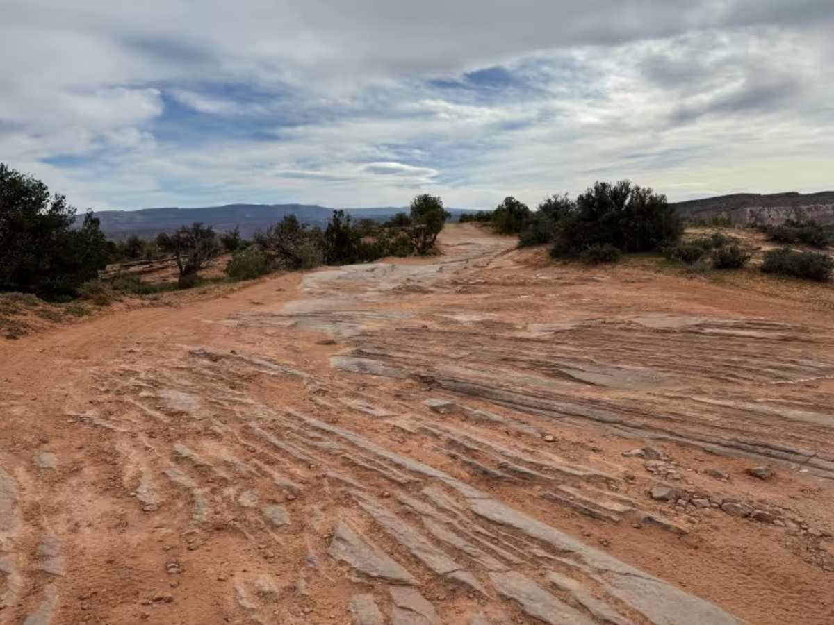
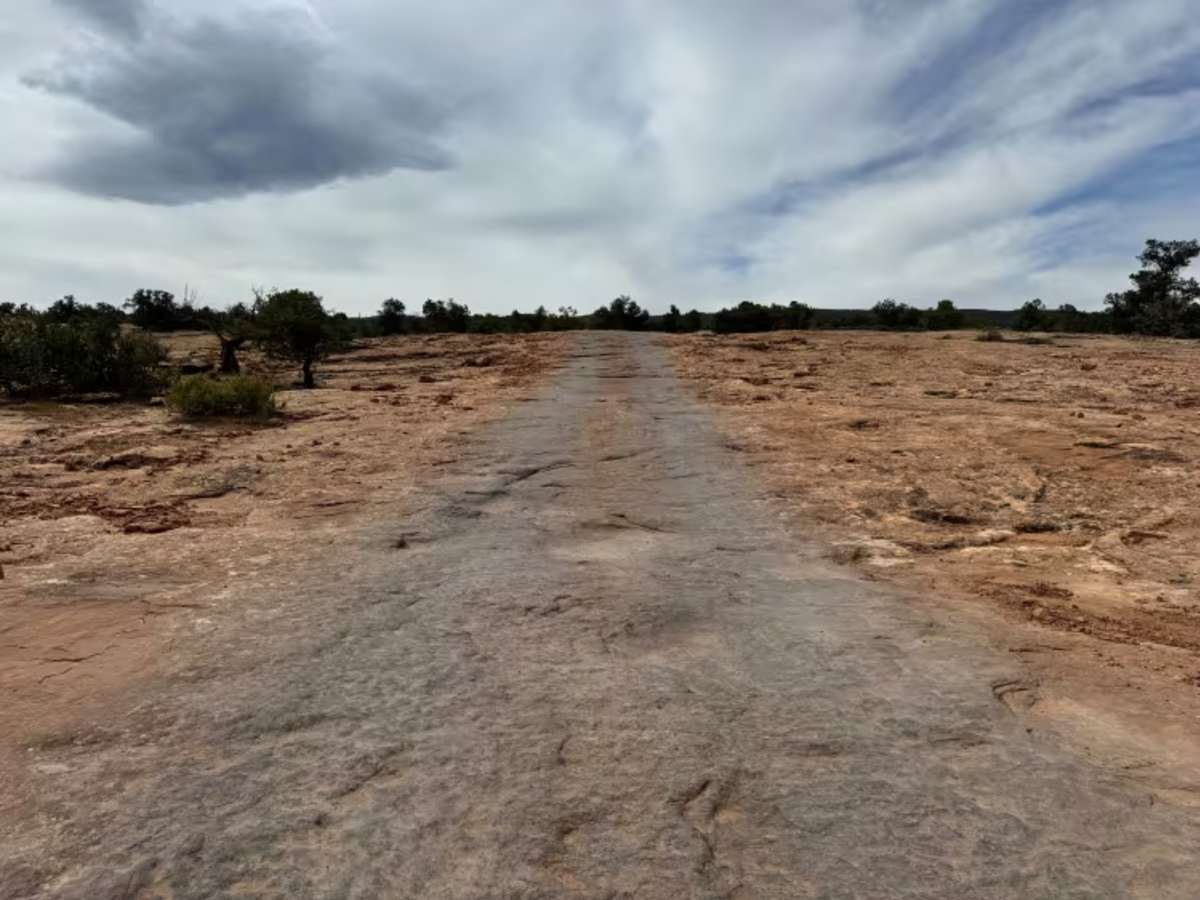
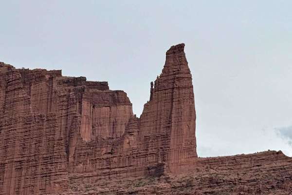
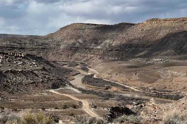
Top of the World is one of the most recognized backcountry routes east of Moab, combining a scenic approach, progressively harder obstacles, and a dramatic payoff at the end. The trail begins near Highway 128 at the historic Dewey Bridge area and starts out on a maintained county road that is usually smooth and easy to travel in dry weather. Even this early section is worth slowing down for, as the surrounding Entrada sandstone cliffs glow with layers of red, orange, and tan rock that make the drive feel like part of the destination rather than just the approach. As the route climbs higher onto Waring Mesa, the character of the trail changes quickly. The graded road gives way to rougher two-track, broken slickrock, loose stone, and ledges that become more frequent the farther you go. Drivers will encounter shelf climbs, off-camber sections, stair-step rock ledges, and uneven surfaces that require careful tire placement and low-range gearing. Some obstacles are short but abrupt, while others are long, technical stretches of layered rock that test traction, clearance, and suspension articulation. Vehicles with good ground clearance, low range, and solid underbody protection are strongly recommended. Skid plates are especially valuable here, as several ledges and breakover points can contact vulnerable components on stock vehicles. The route never feels repetitive. One moment you are winding through desert brush and sandstone domes, and the next you are climbing exposed rock shelves with wide open views in every direction. Looking north, the Book Cliffs stretch across the horizon. To the south, the La Sal Mountains often remain snowcapped well into the season. The changing scenery is part of what makes this trail stand out from many others in the Moab area. The final approach to the overlook is where the anticipation builds. The trail narrows, the rock becomes more pronounced, and then suddenly the mesa opens to the famous cliff-edge viewpoint. From Top of the World, the ground drops away into Fisher Valley far below, with Onion Creek winding through the basin and mountain peaks rising in the distance. Wind can move hard across the rim, and the exposure is real, so caution is essential near the edge. It is one of those rare places where photos never fully capture the scale. While the overlook is the headline attraction, the entire route is the experience. Top of the World is not simply a scenic drive; it is a true four-wheeling trail with memorable obstacles, varied terrain, and one of the best views in Utah.
Difficulty
Top of the World starts deceptively easy on a graded county road, but the difficulty increases significantly once the true 4x4 section begins. Expect repeated rock ledges, broken slickrock, loose stone climbs, off-camber sections, and technical stair-step obstacles that demand careful tire placement and controlled throttle input. Several climbs can challenge traction, wheelbase, and driver confidence, especially for less experienced drivers. High-clearance 4WD with low range is strongly recommended. Stock 4x4s with capable tires can make it in dry conditions with careful driving, but underbody contact is possible. Skid plates are highly recommended, and rock sliders are beneficial. Longer wheelbase vehicles may need extra attention on breakover points, while lower-clearance crossovers should avoid this route. Difficulty rises quickly after rain, snow, or when ledges are dug out from traffic. In wet conditions, slickrock can become more unpredictable and loose sections more difficult.
History
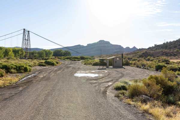
The route travels through an area shaped by ranching, mining, and backcountry travel routes that connected remote parts of eastern Utah long before recreation traffic became common. The old Dewey Bridge crossing nearby was once an important link across the Colorado River for travelers, ranchers, and industry moving through the region. Though the original bridge was lost to fire, the area remains a historic gateway to the mesas and canyons beyond.