Trail Overview
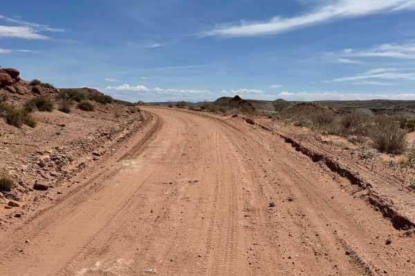
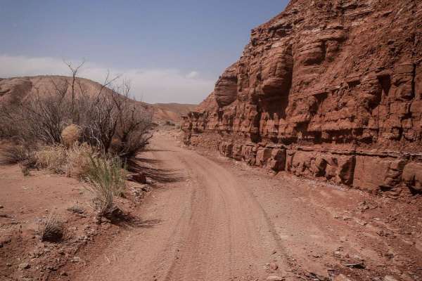
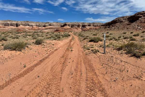
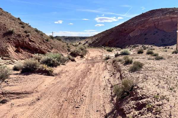
This trail delivers a constantly changing mix of terrain that keeps drivers engaged from start to finish. Depending on the section, the surface alternates between dirt, sand, loose rock, and exposed slab, all surrounded by classic high desert brush and seasonal wildflowers. Early in the route, the trail narrows and begins climbing through rougher terrain before reaching two steep hills back to back, covered in loose rock. Careful throttle control and low-range gearing are highly recommended here, especially in heavier or longer-wheelbase vehicles. Farther along, you will encounter a rock slab section where the trail briefly seems to disappear into the stone, requiring drivers to read the terrain and choose a smart line. After crossing the slab, the route returns to a sandy base before dropping down a steep descent filled with ruts, loose material, and rocks up to 18 inches tall. Although the ground may appear firm while walking on it, the soil can shift significantly under vehicle weight. Momentum, tire placement, and patience are key
Difficulty
This trail combines multiple technical elements: steep loose-rock climbs, a rock slab section with faint route definition, shifting soil, rutted descents, and obstacles up to 18 inches tall. The challenge is less about one extreme obstacle and more about constant traction management, line choice, and vehicle control.
History
The surrounding Labyrinth Rims and Green River backcountry hold a long history of ranching, resource exploration, and remote desert travel. Roads in this region were used for livestock access, prospecting, and reaching isolated camps long before they became recreation routes. Nearby areas also reflect the uranium era expansion that reshaped much of southeastern Utah in the mid-1900s. Today, these trails provide access to one of the most rugged and scenic landscapes on the northwest side of Moab.