Trail Overview
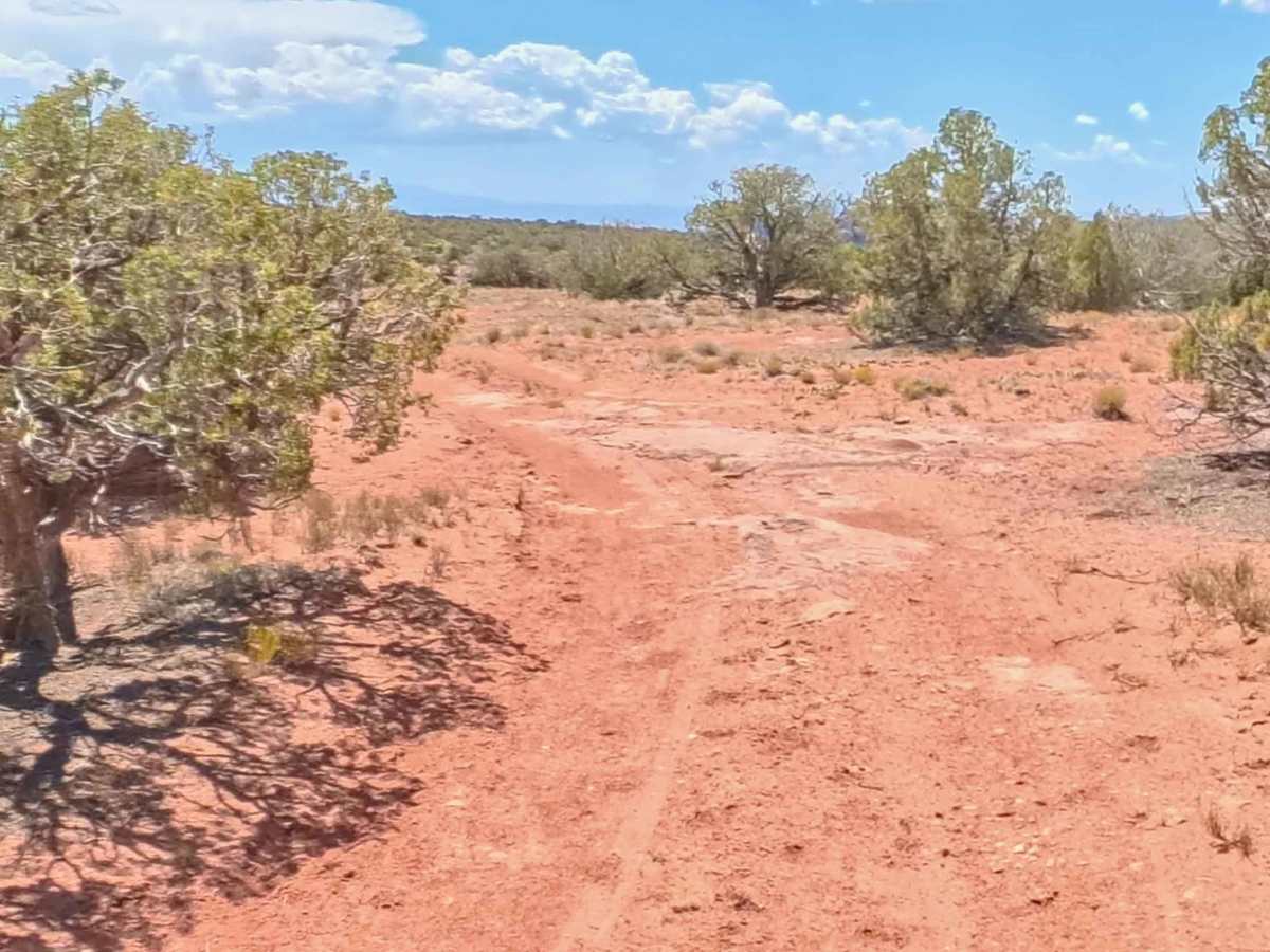
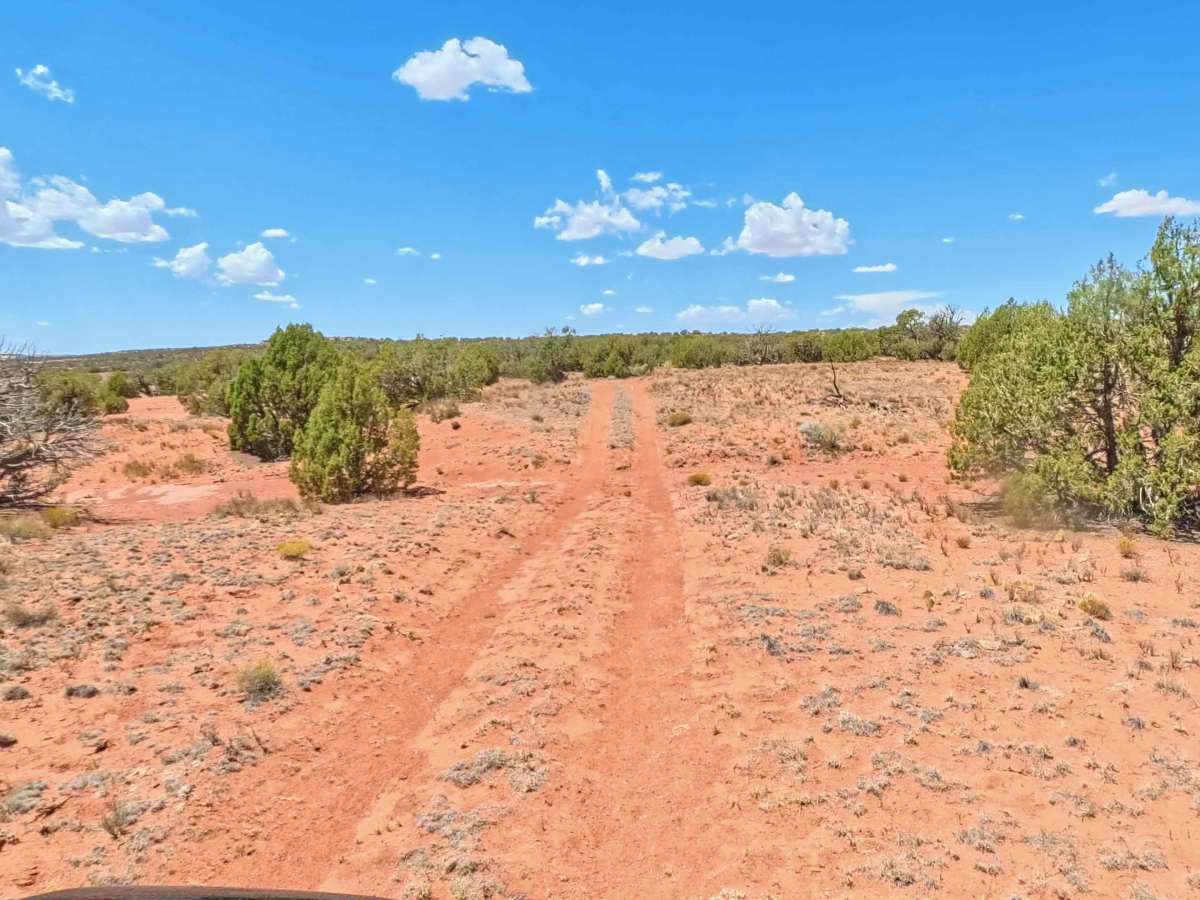
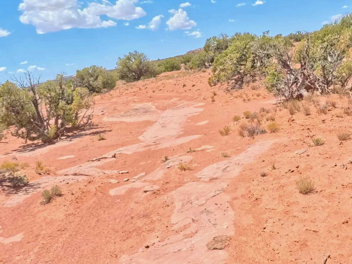
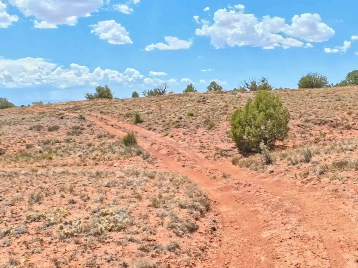
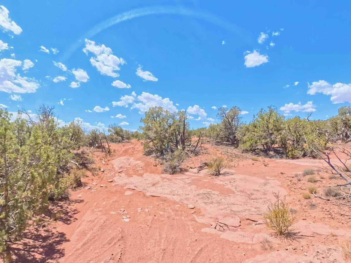
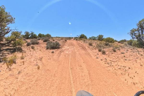
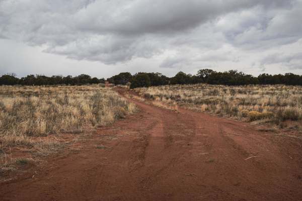
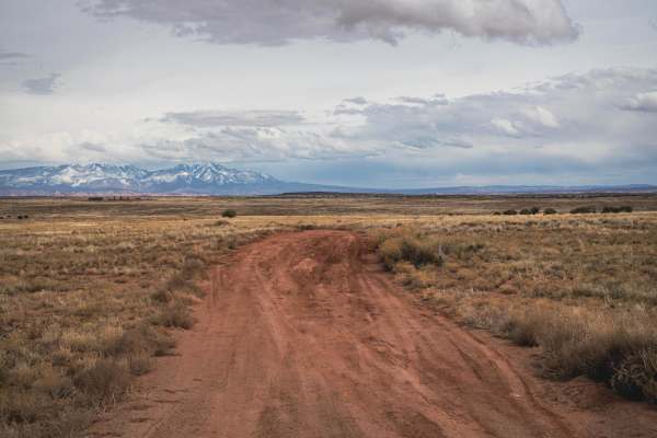
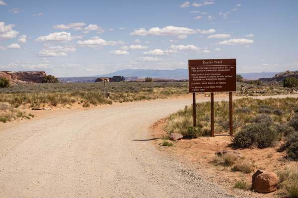
D1236 serves as a direct connector between D1238 and D1228 and works well as part of a larger route through the rugged Utah desert. The trail surface is primarily dirt and embedded rock, winding through typical desert vegetation with a scenic and isolated feel. A couple of small rock ledges, approximately 6 inches tall, add minor obstacles that require basic tire placement but should not present a significant challenge for most high-clearance stock 4x4s, including vehicles such as a stock Jeep Cherokee. The route is open to 4x4s, OHVs, quads, and motorcycles, and no permit is required. Cell service is limited and spotty, with approximately one bar of LTE reported on T-Mobile, so offline maps are recommended. There are no restrooms or developed campsites along the route.