Buckhorn Draw

Total Miles8.4
Technical Rating
6Moderate
Best TimeSpring, Summer, Fall
Trail TypeHigh-Clearance 4x4 Trail
Accessible By
Open Trail Map

Trail Overview

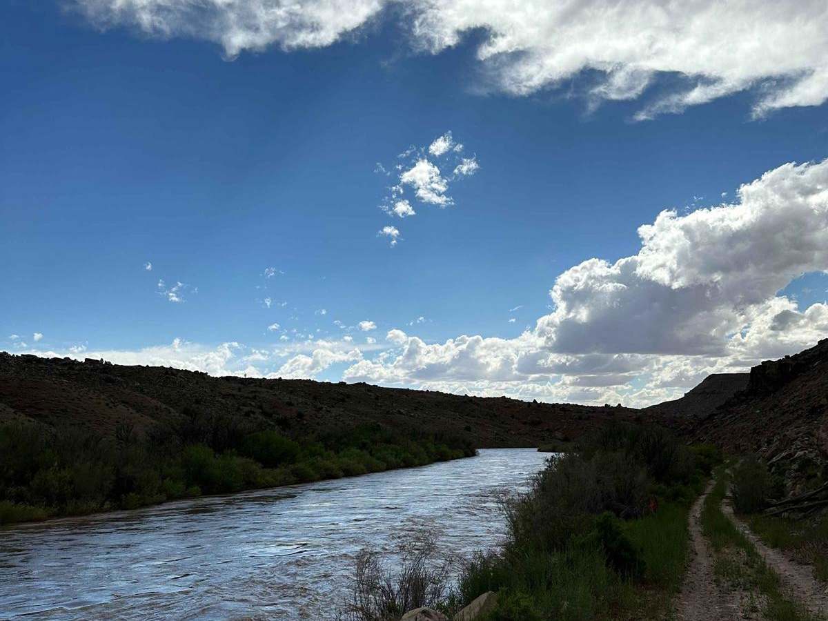
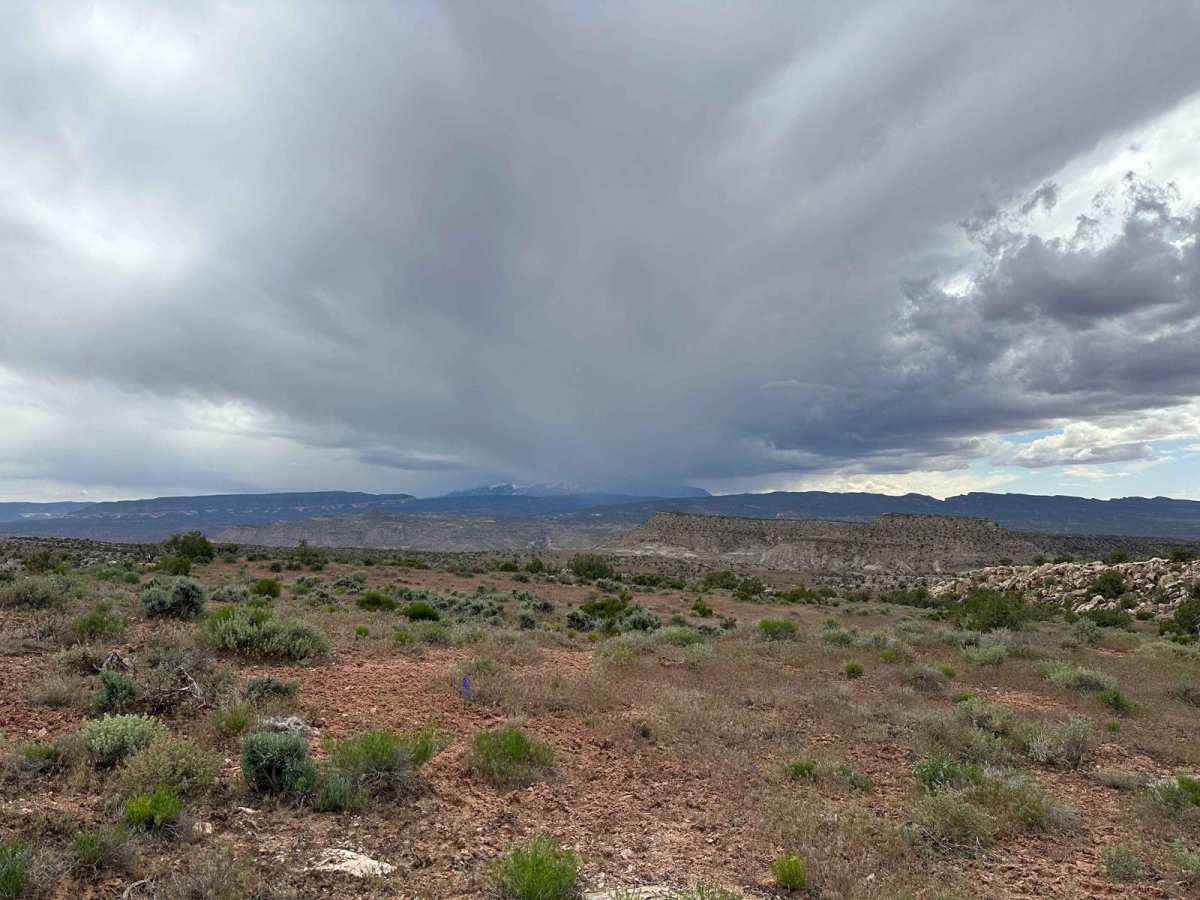
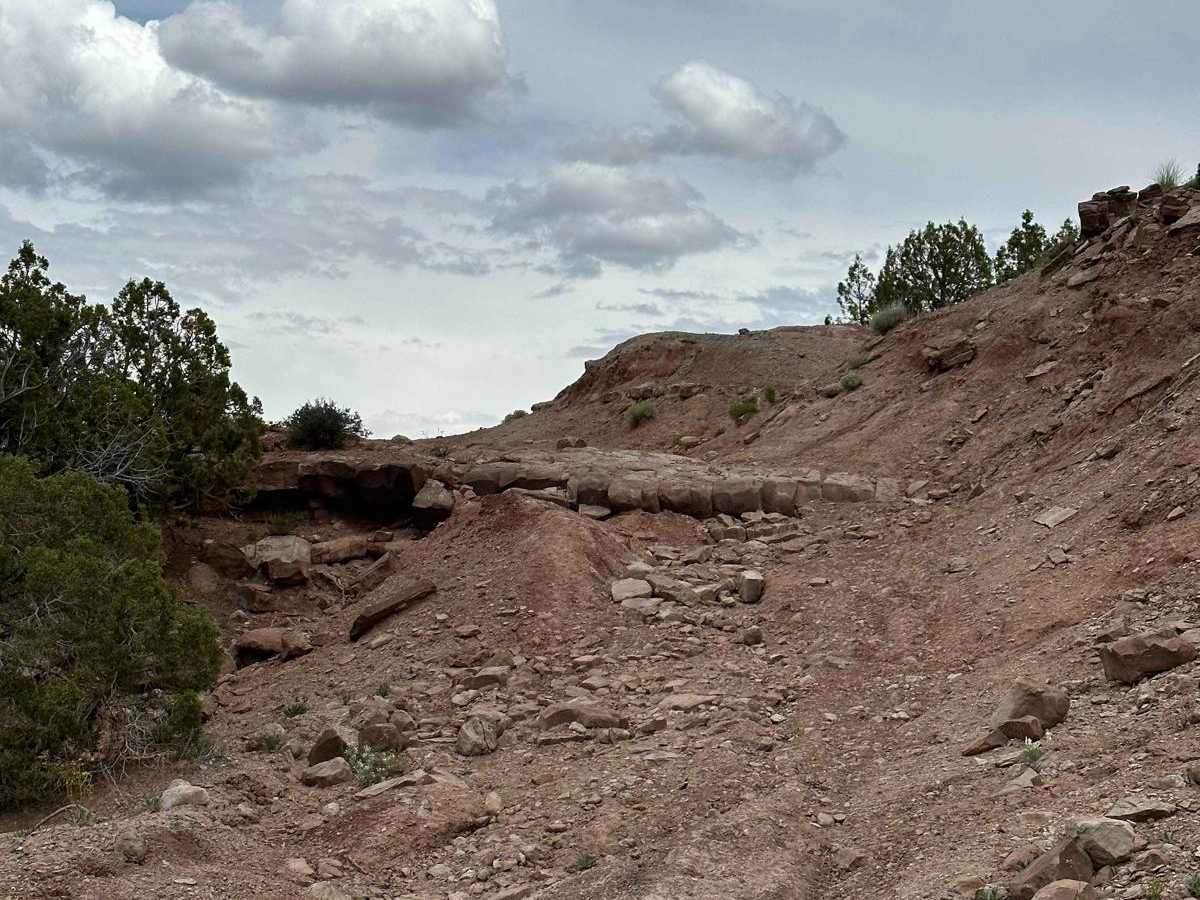
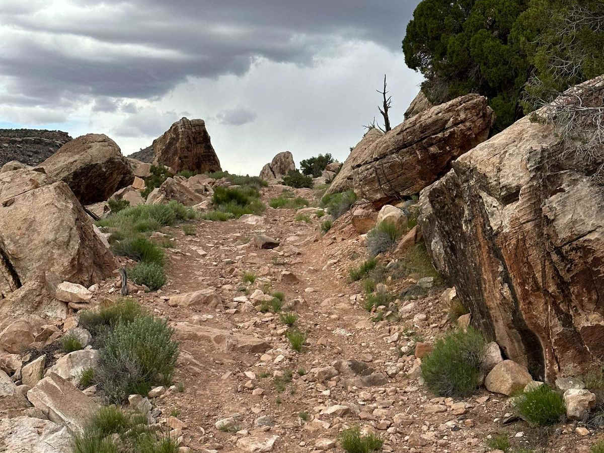
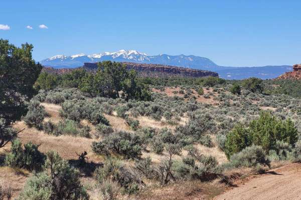
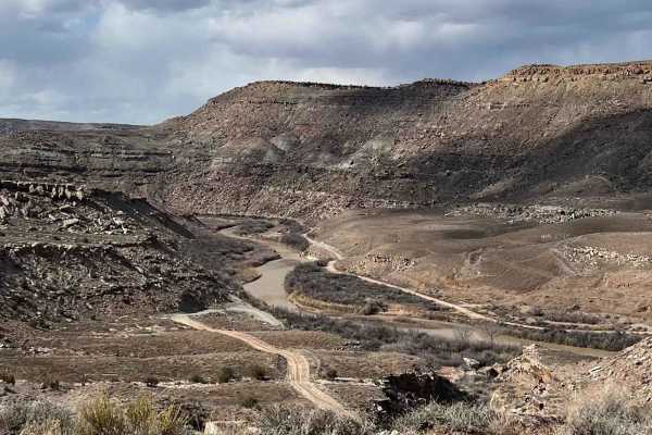
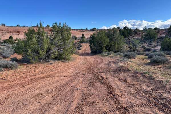
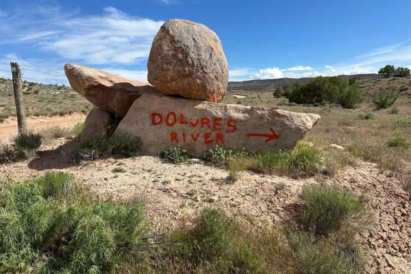
When you travel this trail, you'll be treated to breathtaking views of the stunning canyon landscapes and the majestic Dolores River. It's common to spot a wide range of wildlife during your journey, but it's important to remain aware of livestock in the area. It's also worth noting that the trail is prone to erosion and washouts, which can result in rutted and unstable surfaces. Additionally, you may encounter fallen rocks that could pose unexpected challenges.

Photos of Buckhorn Draw

Difficulty

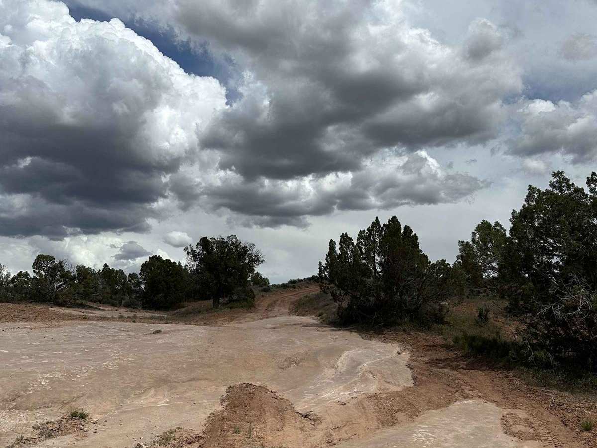
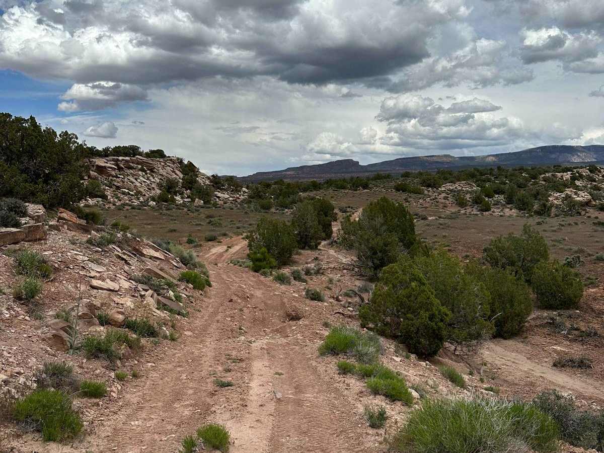
This trail has very rocky terrain that is heavily rutted, with steep inclines and declines, multiple off-camber sections, rock gardens, and obstacles up to 3 feet tall.

Technical Rating

6

Status Reports

Add Status Report
Merrit Crum
Nov 02, 2024
2003 Chevrolet S-10
Open
Normal
This trail gets very little travel due to its remote location. Great scenery, some spots that require decent ground clearance and reasonable driving ability. I would call this a 4-rated trail for experienced drivers or a 6-rated trail for unexperienced drivers. Tire placement is critical to avoid hitting axles on rocks. We went from east to west, and it may be slightly more challenging from West to East. Expect to be on just this section of trail for 2-4 hours. There is also a cool old structure near the west side.
David Gray
Oct 17, 2024
2022 Ford Bronco
Open
Normal
Fun trail off Dolores Traingle on route from Fruita to Moab

Buckhorn Draw Trail can be accessed by the following ride types:

  • Single Track
  • 50 Inch
  • 60 Inch
  • High Clearance

Buckhorn Draw Map

The onX Offroad Difference

onX Offroad combines trail photos, descriptions, difficulty ratings, width restrictions, seasonality, and more in a user-friendly interface. Available on all devices, with offline access and full compatibility with CarPlay and Android Auto. Discover what you're missing today!

Open Trail Map