Ryan Creek

Total Miles6.7
Technical Rating
3Easy
Best TimeSpring, Fall
Trail TypeHigh-Clearance 4x4 Trail
Accessible By
Open Trail Map

Trail Overview

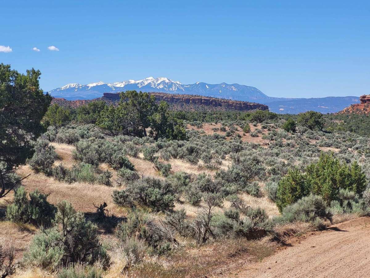
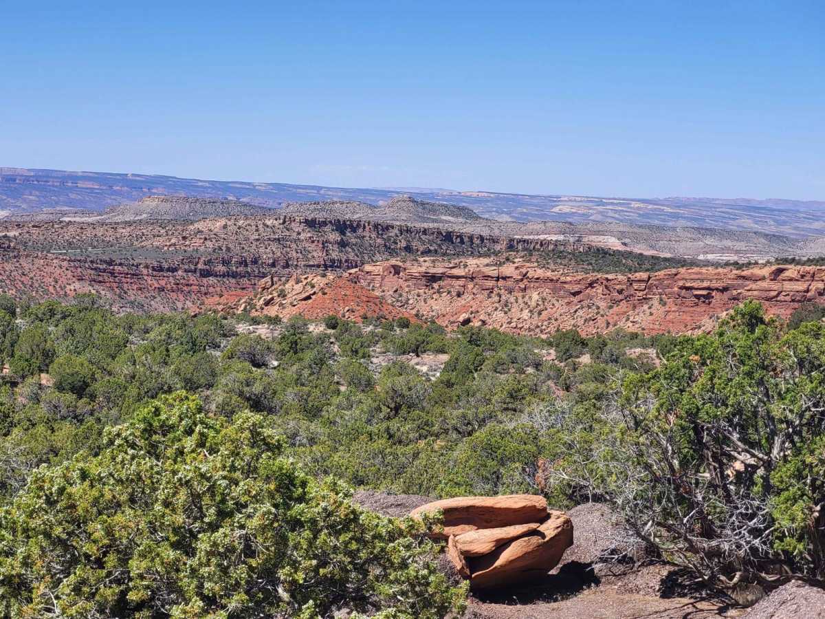
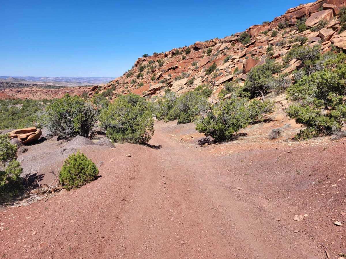
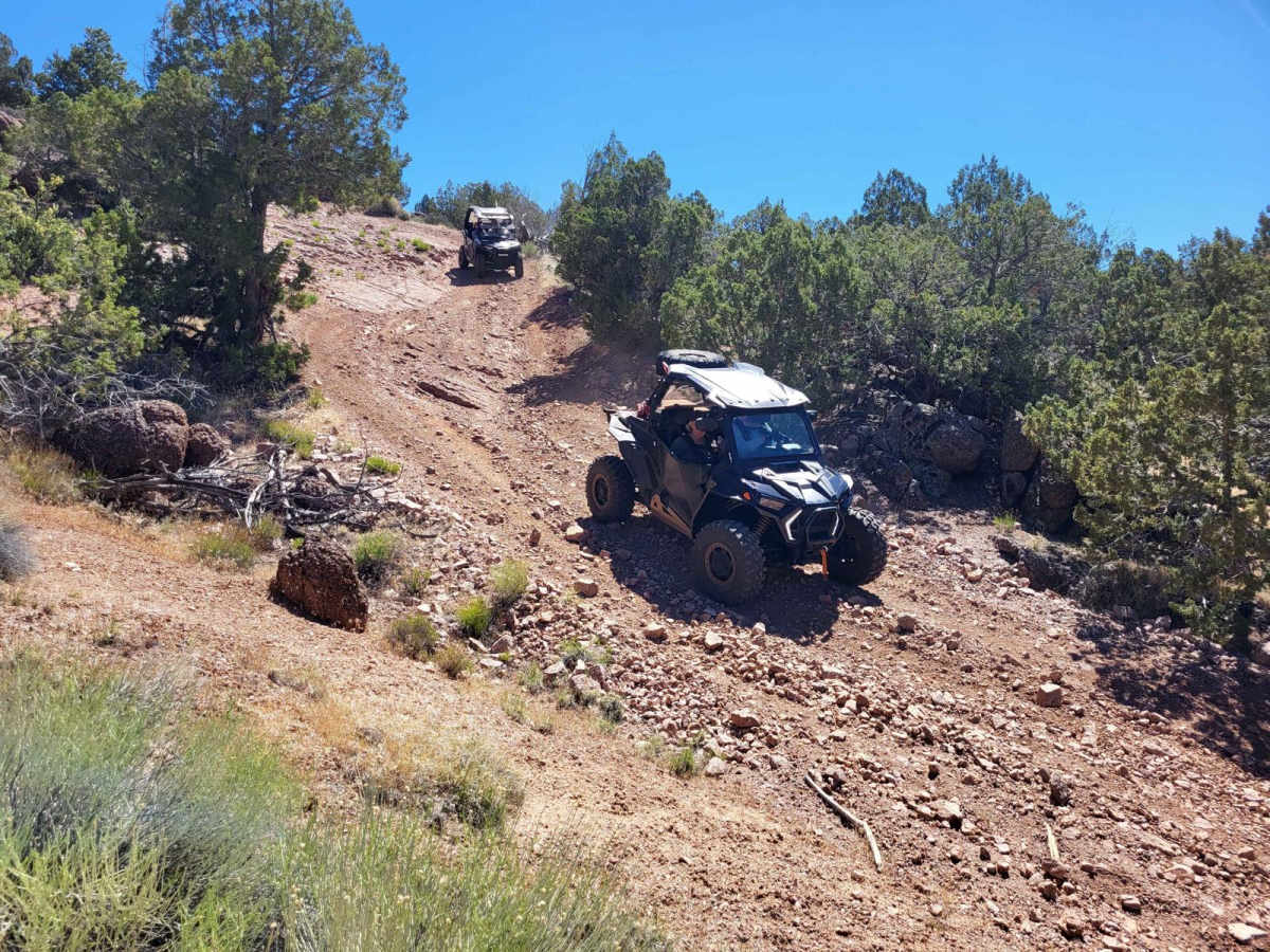
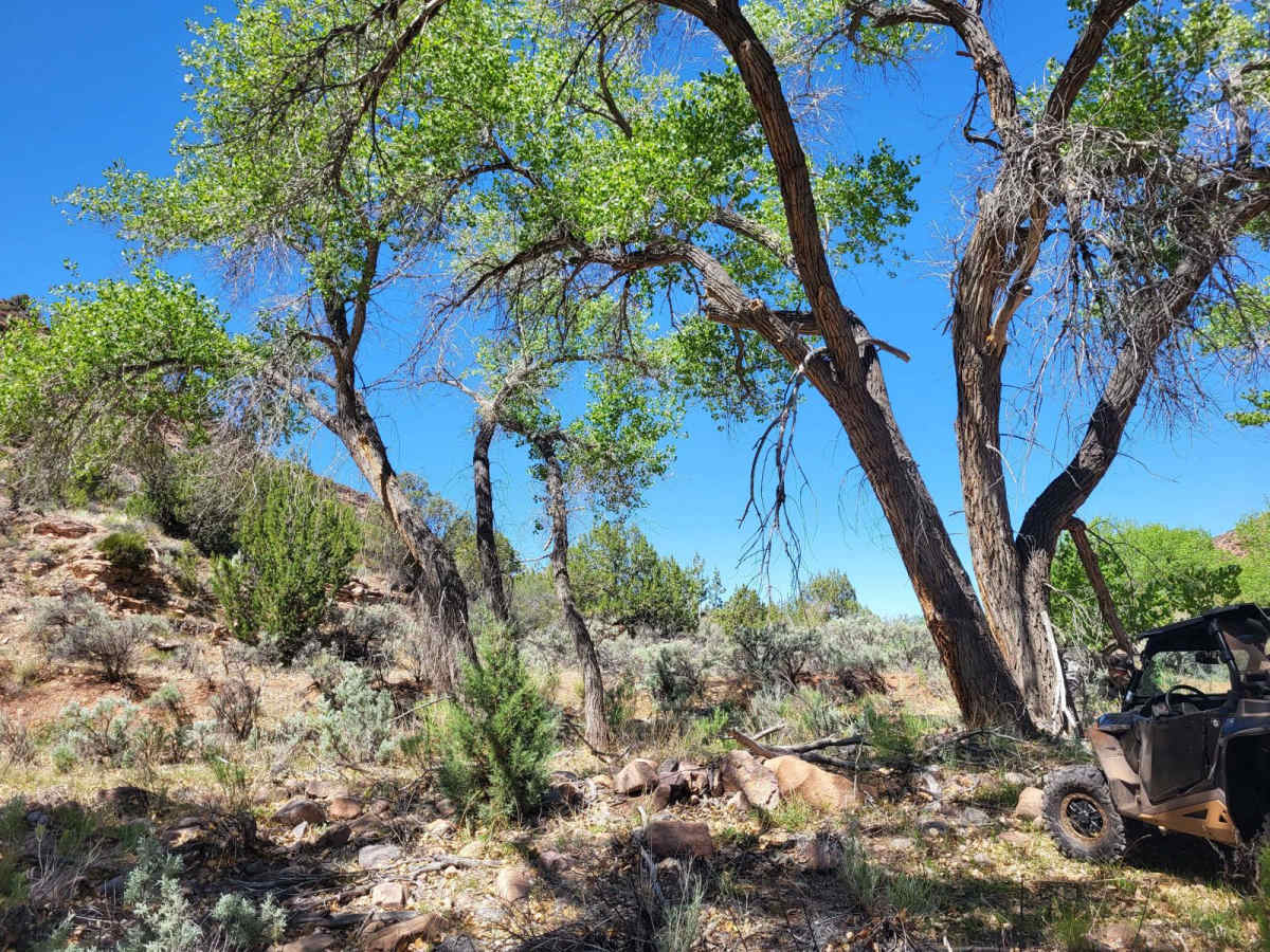
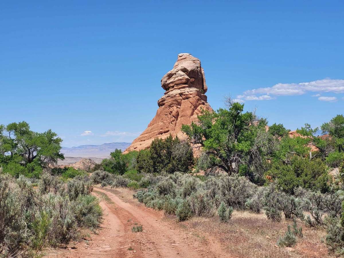
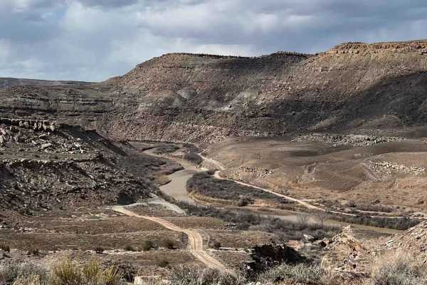
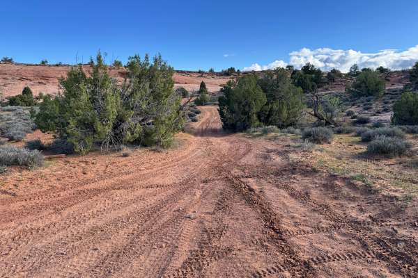
This trail boasts exquisite views, rock formations, riparian areas, and contrasting sandstone and granite geology. Bounded on the east end by BLM Route 350 and west by BLM Route 107 on the other, the trail generally follows a portion of Ryan Creek and there are sandy areas and multiple water crossings once in the creek bottom. The eastern portion of the trail climbs out of the creek bottom with some steep and loose climbs/descents.

Photos of Ryan Creek

Difficulty

Most of trail is very easy but it has one short section that is steep with loose rock.

Technical Rating

3

Status Reports

Add Status Report
Frank Hernandez
May 20, 2025
2017 Toyota Tundra
Open
Awesome trail. With that said, the first 1/3 of this trail coming from the east is challenging. Easily a blue 4 or 5. Doable in a full size truck but expect some pin striping as some parts get tight. The rest of the way is much easier, deserving of the 3 rating. This is a very remote area so come prepared.

Ryan Creek Trail can be accessed by the following ride types:

  • Single Track
  • 50 Inch
  • 60 Inch
  • High Clearance

Ryan Creek Map

The onX Offroad Difference

onX Offroad combines trail photos, descriptions, difficulty ratings, width restrictions, seasonality, and more in a user-friendly interface. Available on all devices, with offline access and full compatibility with CarPlay and Android Auto. Discover what you're missing today!

Open Trail Map